On this page you can find lost of information on sailing spots around Corsica, Sardegne, La Maddalena, Elbe and Capraia, as we have navigated around these coasts the last years.
But also background information, if we discover nice restaurants, we will share these tips with you, and yes, naturally, but not for all sailors, information on sites on land.
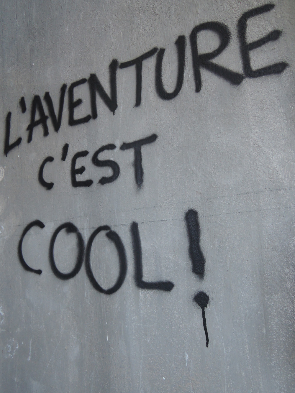
Enjoy reading!!
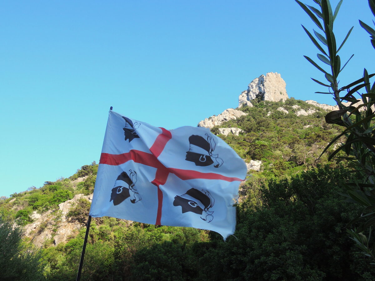
In 2017, 2018 and 2019 we made trips to Corsica, Sardegna, Maddalena, Elba and Capraia.
The page is not a logical cover of eacht holiday, I gathered (usefull) information and stuff from several years, as sometime you pass the same spot several times.
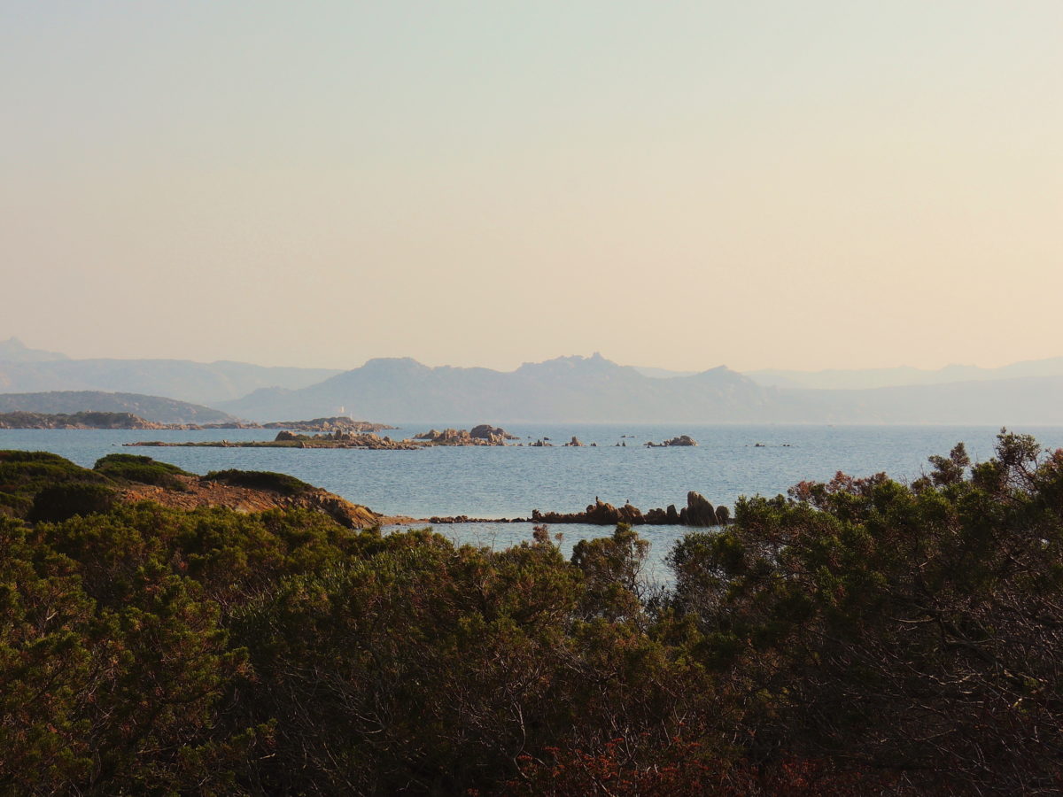
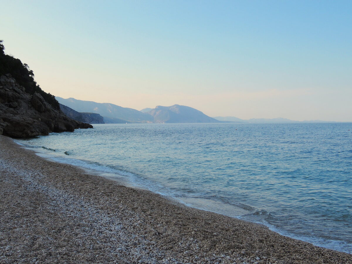
In 2017 we sailed from Iles d’Embiez to Porto Pollo in the Gulf of Propriano. After that we continued along the South cost of Corsica to the Maddalena Archipelago.
To see more about this trip and Maddalena scroll down to the second block.
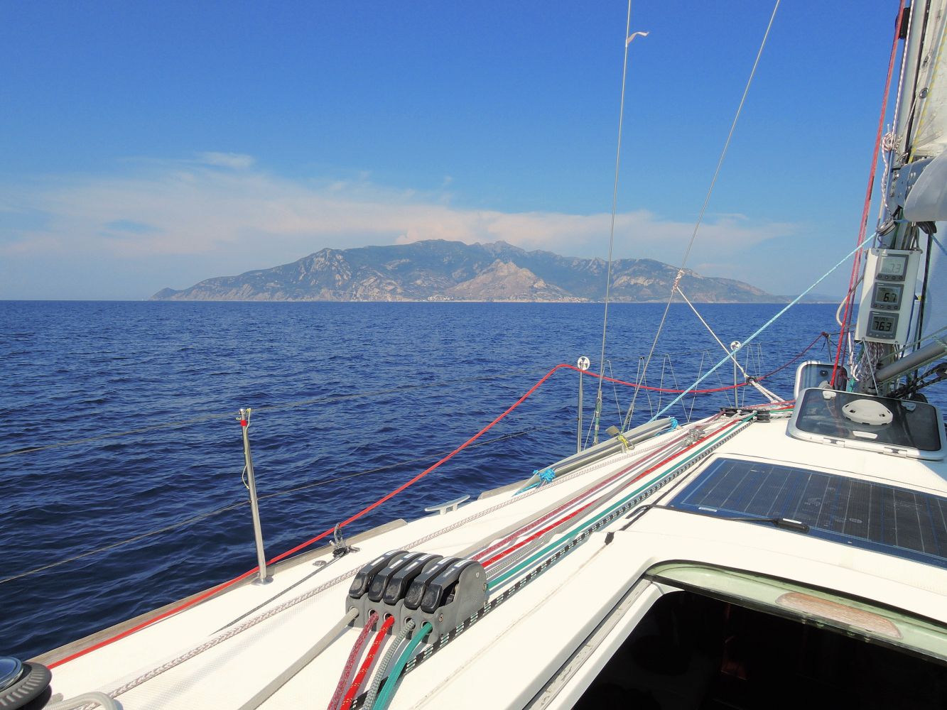
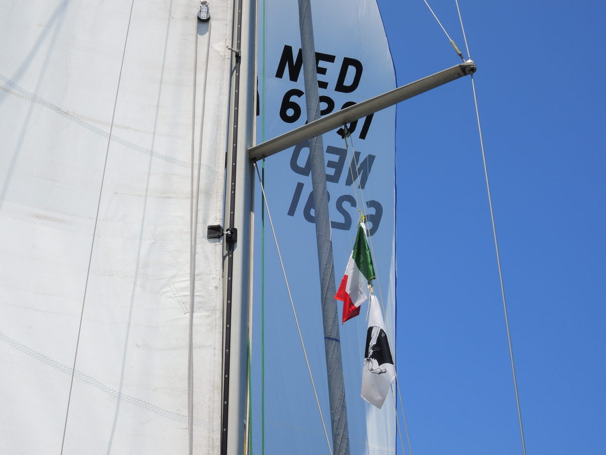
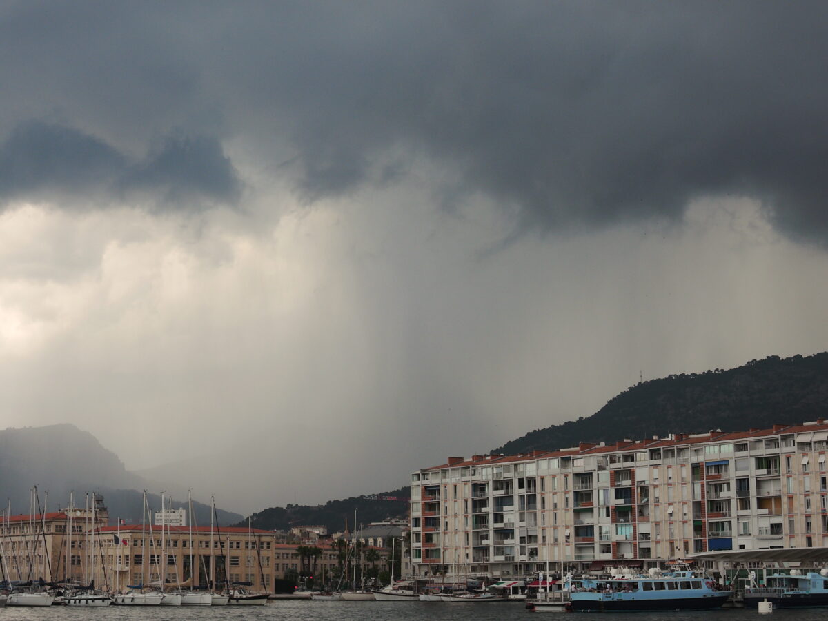
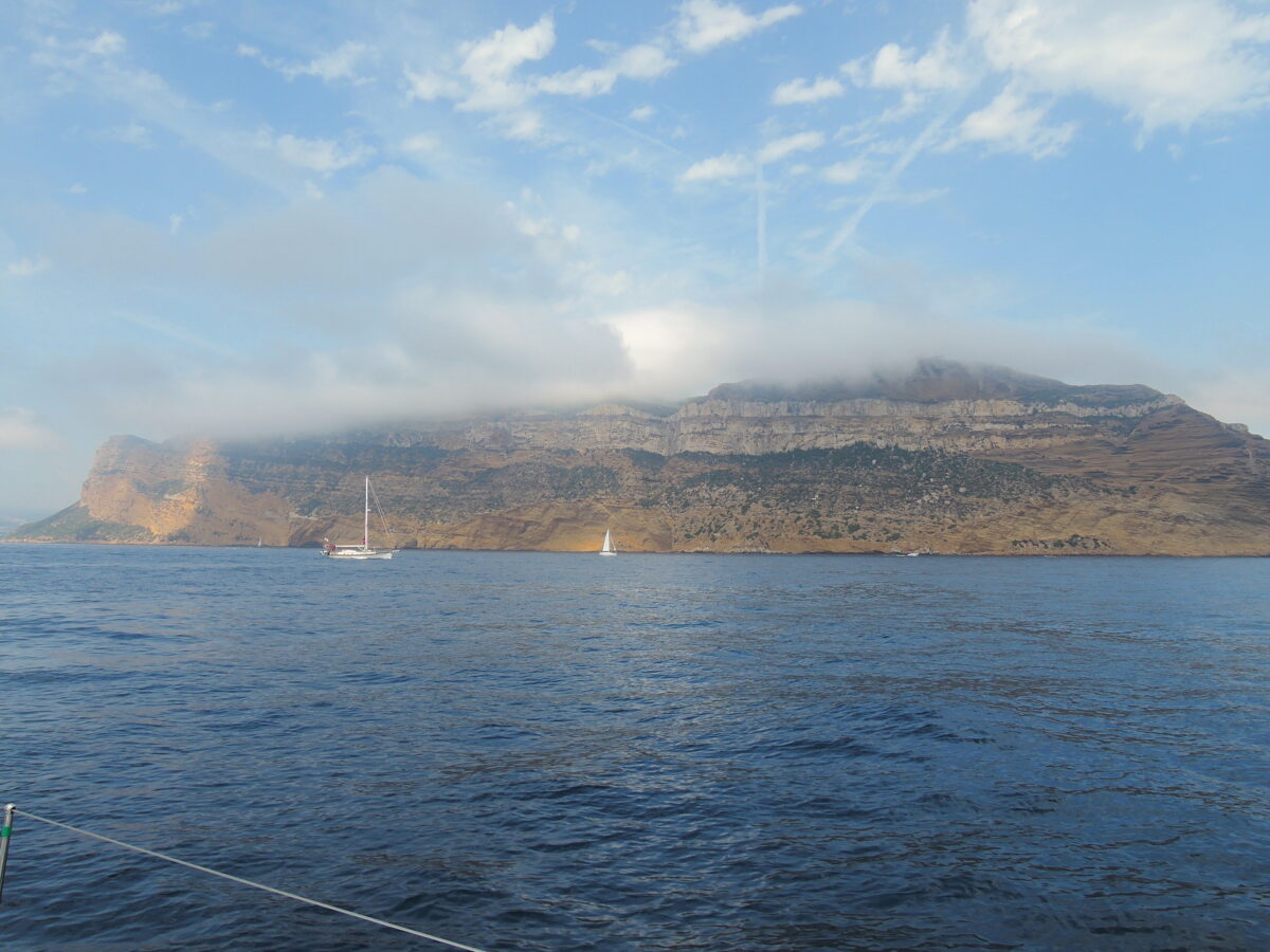
In 2018 we went from Frejus straight for Cap Corse, as the wind was favorable for the area, (witch normally is not alwasy the case..). After a trip of around 19 hours we arrived at Cap Corse.
We anchored just North of Barcaggio between Cap Corse and the small island of Giralia.
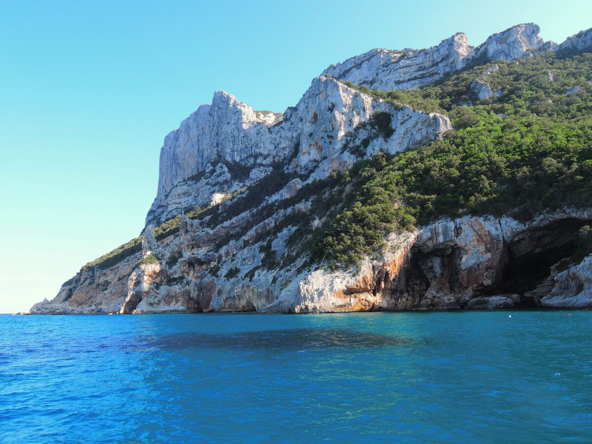
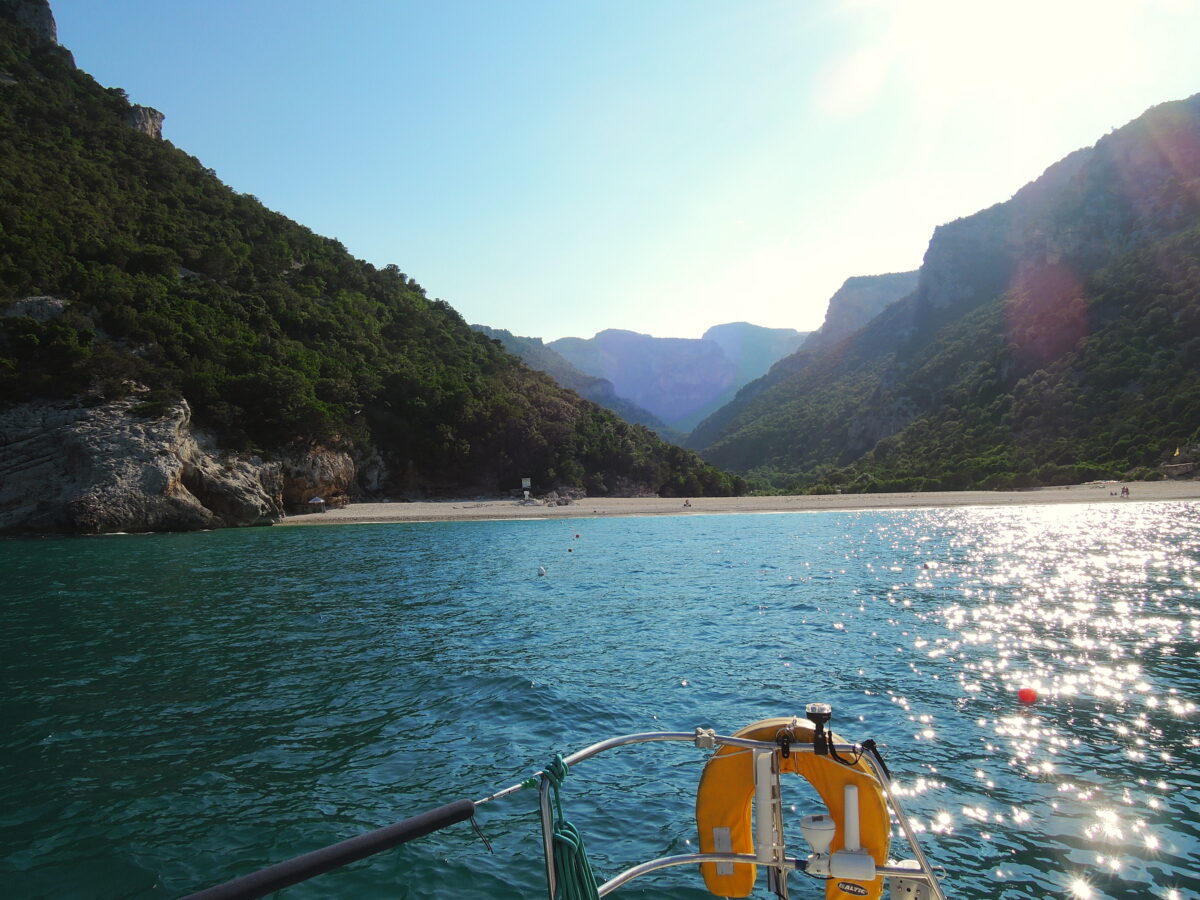
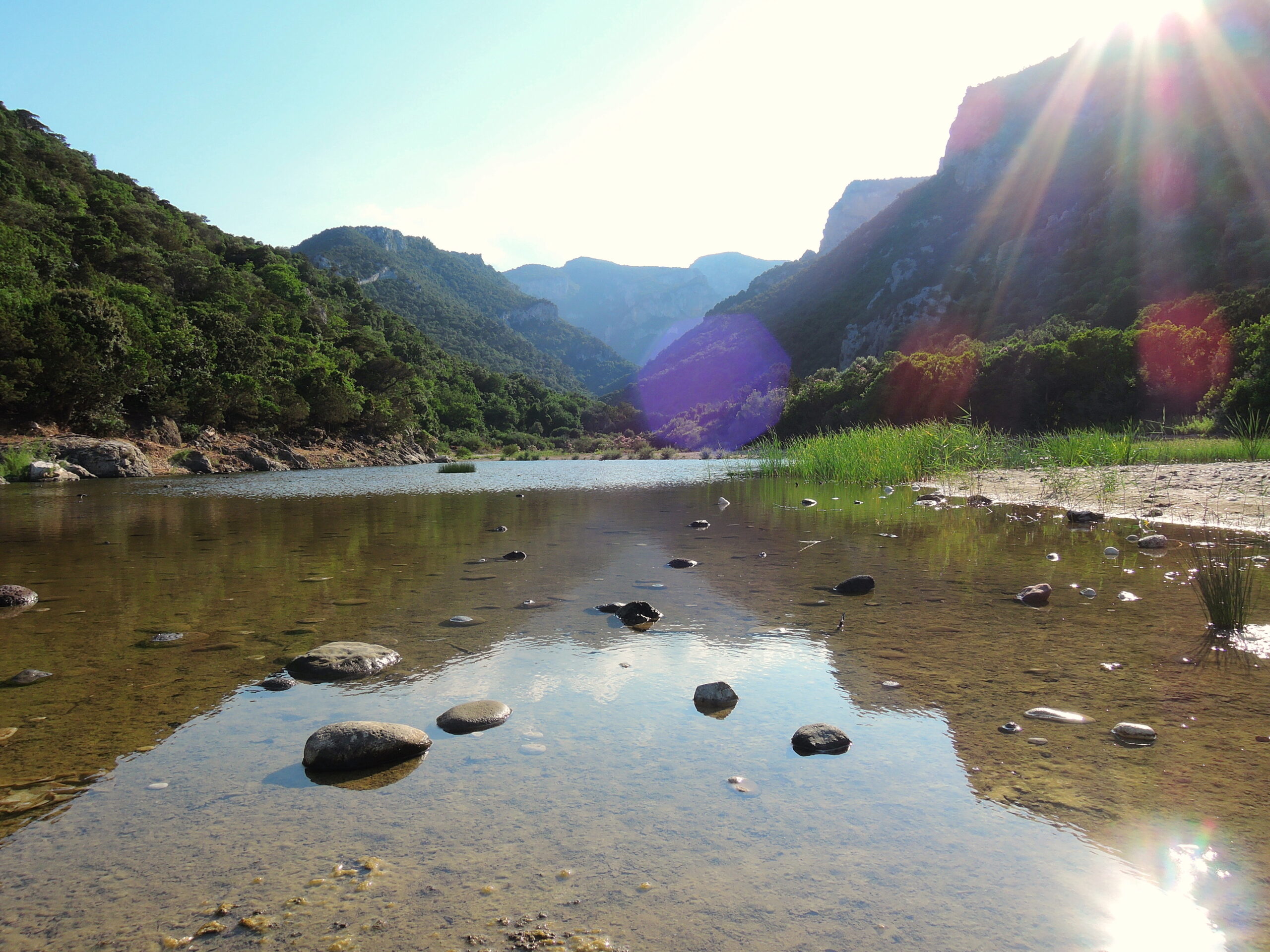
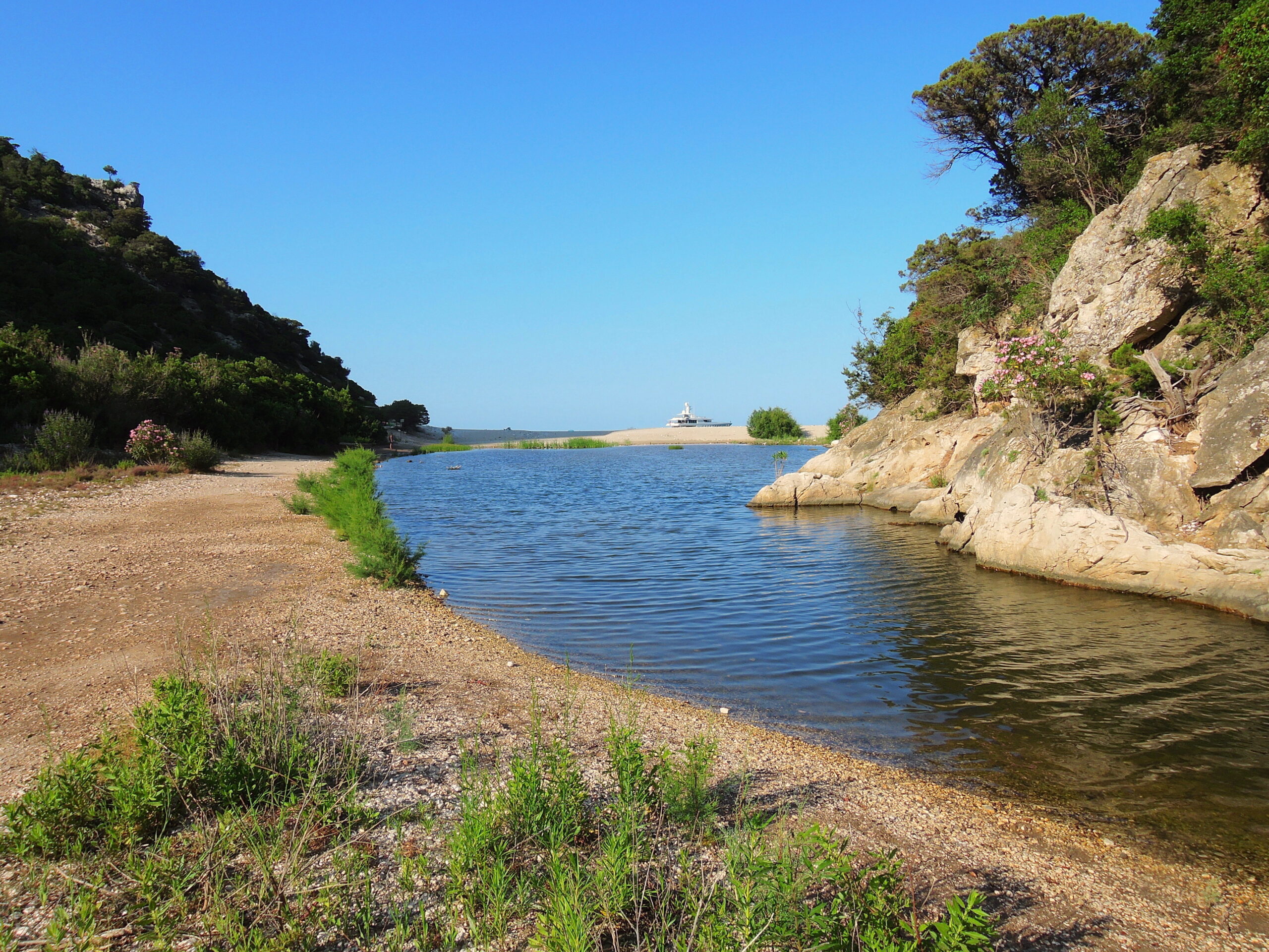
In 2019 we sailed from Sete first solo to Marseille, picked up part of my family there and moved on to Girolata. After a week on the West Side of Corsica mt twin sitster and her son left from Ajaccio, where I rented a car to make a trip inland to pick up my girlfriend that had arriver by boat to Bastia. After our return on the boat we left for the South Side of Corsica and the East side of Sardegne.
During our trip we were followed by lots of dolphins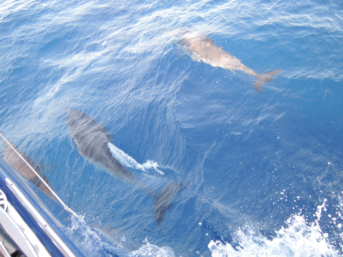
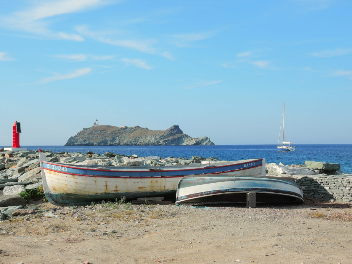
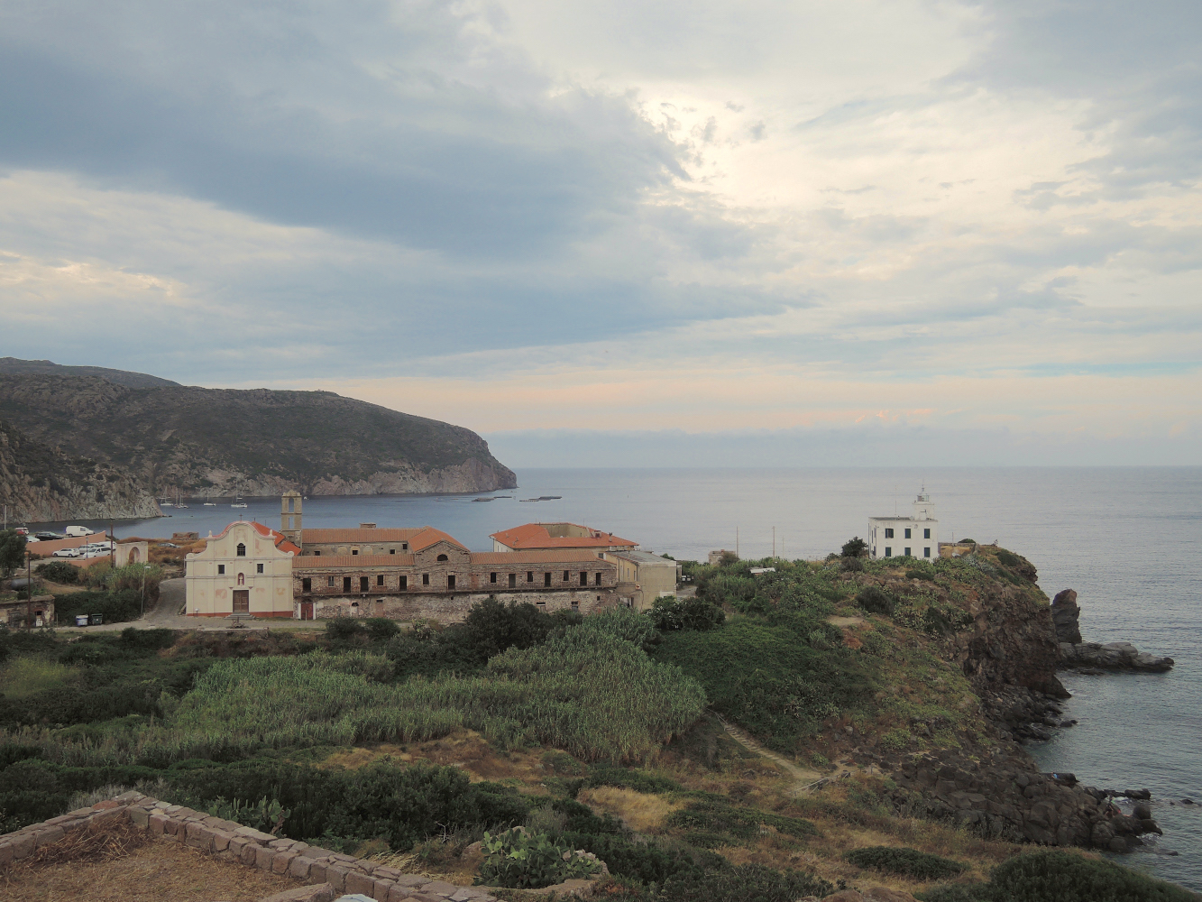
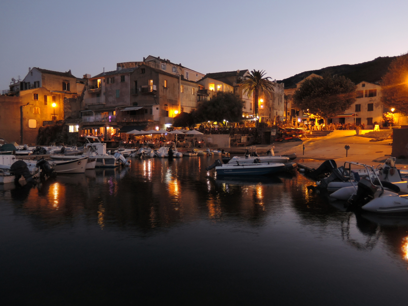
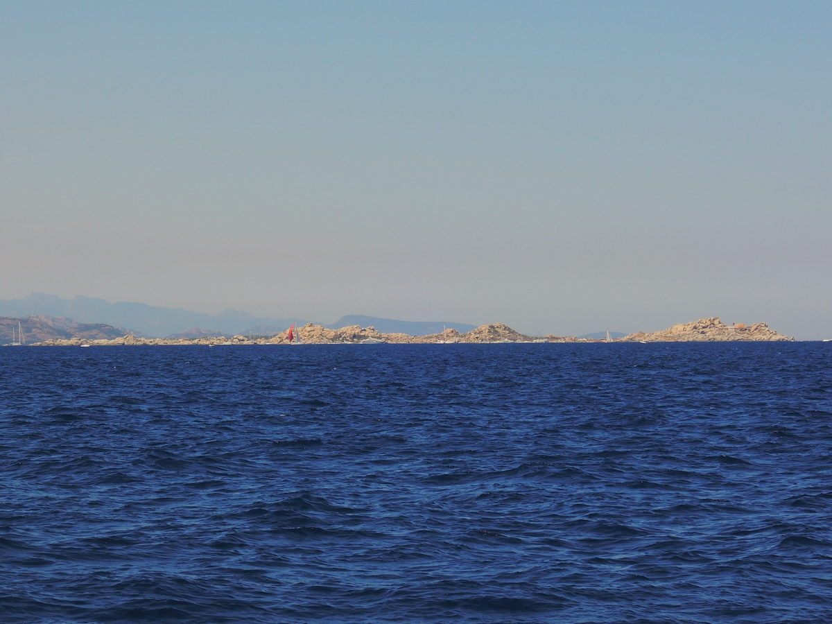
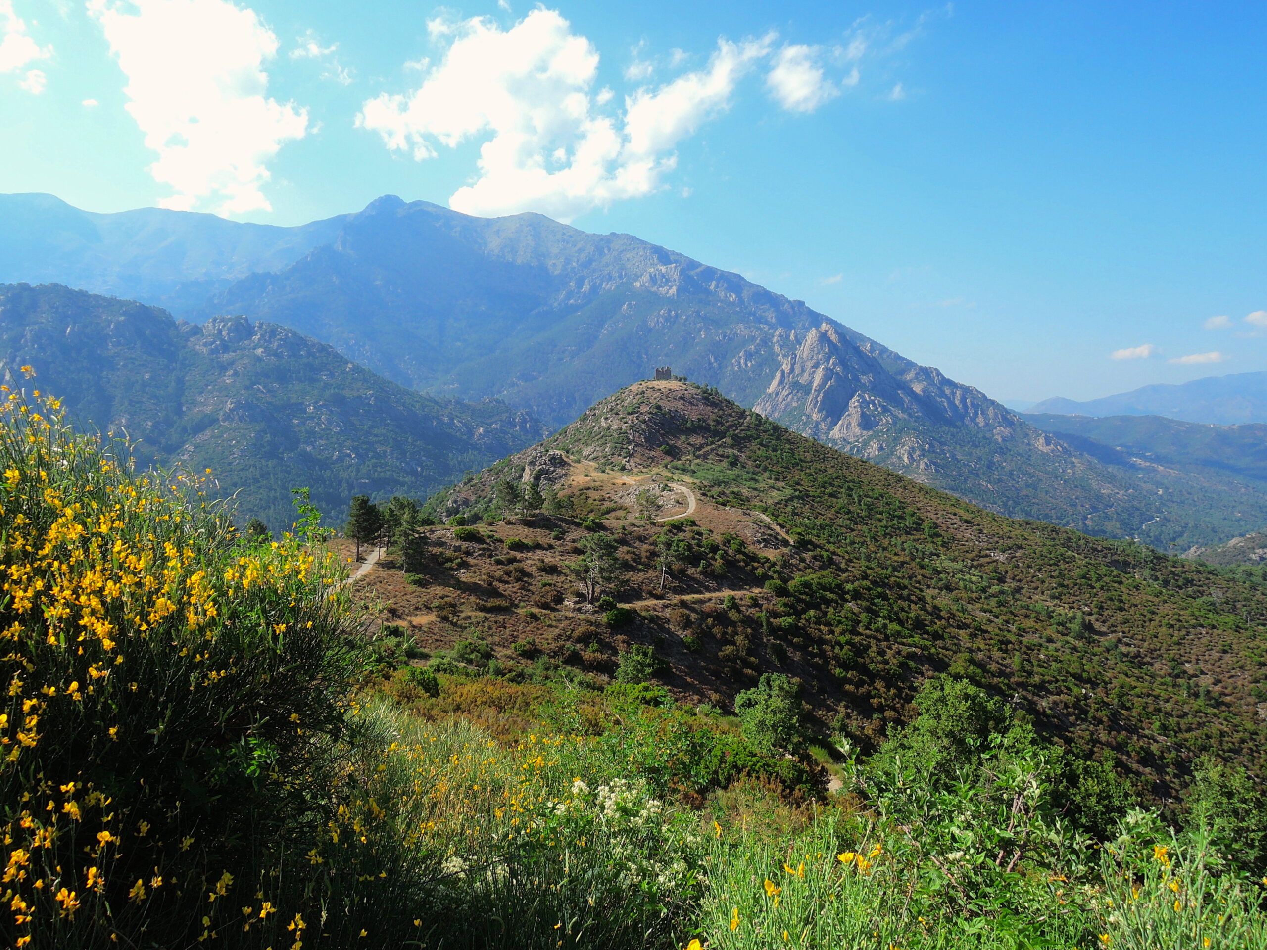
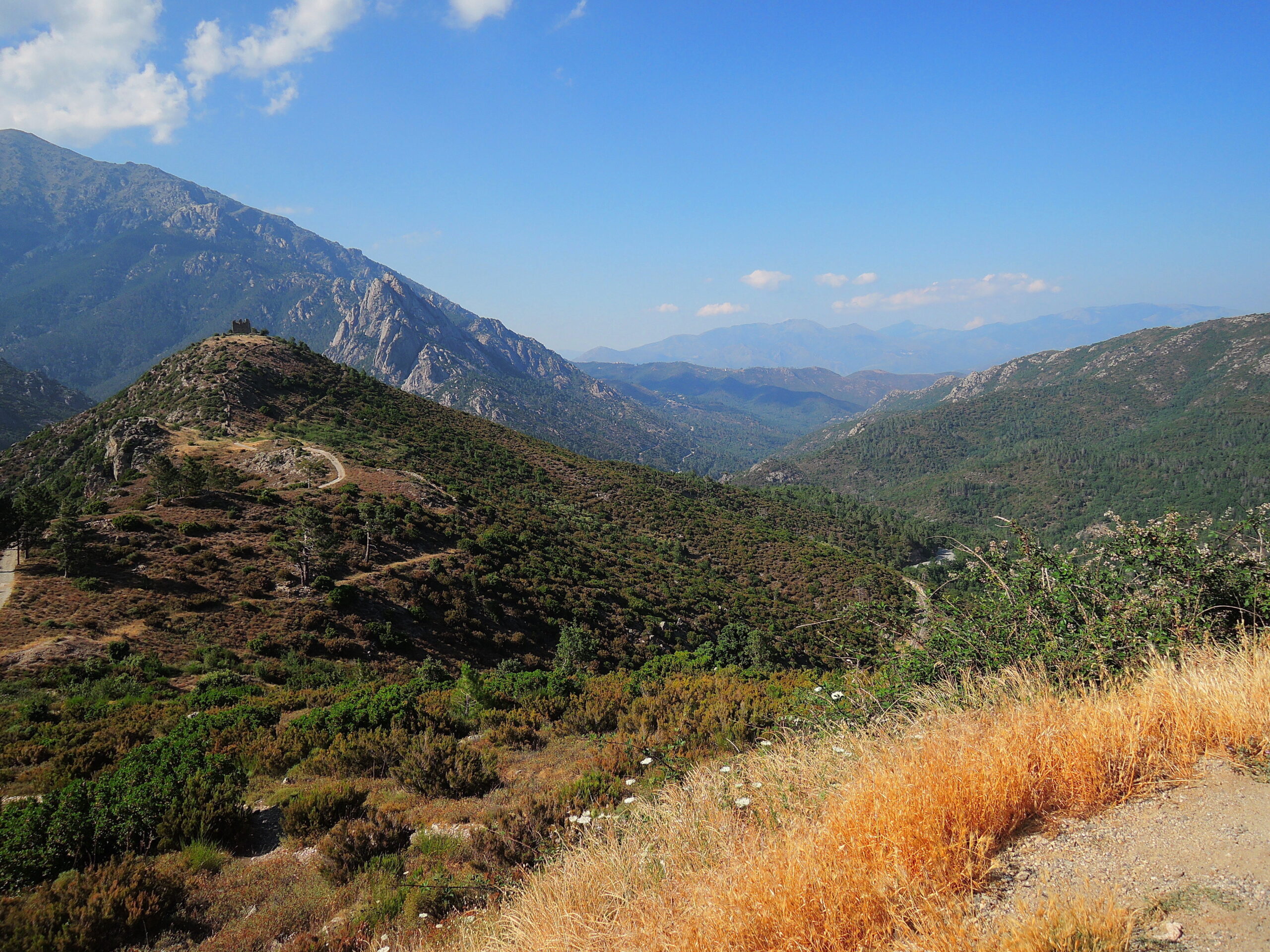
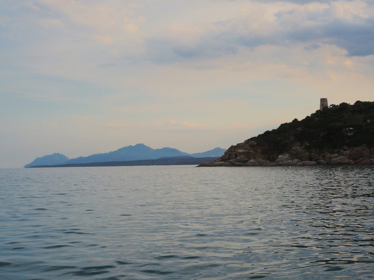
Corsica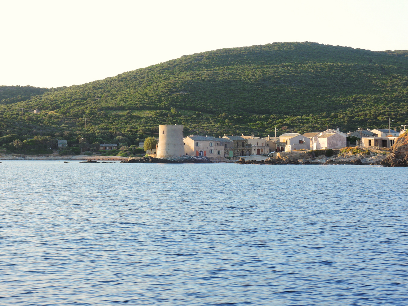 Cap Corse, the small village of Tollare
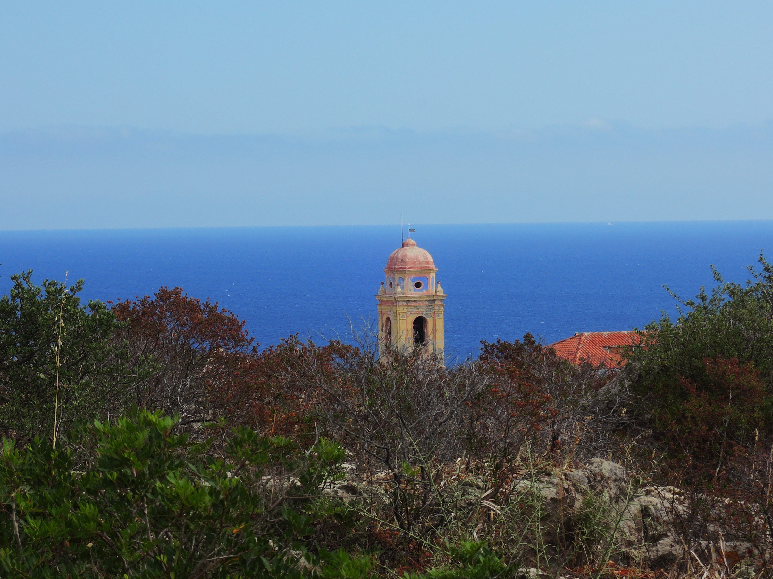
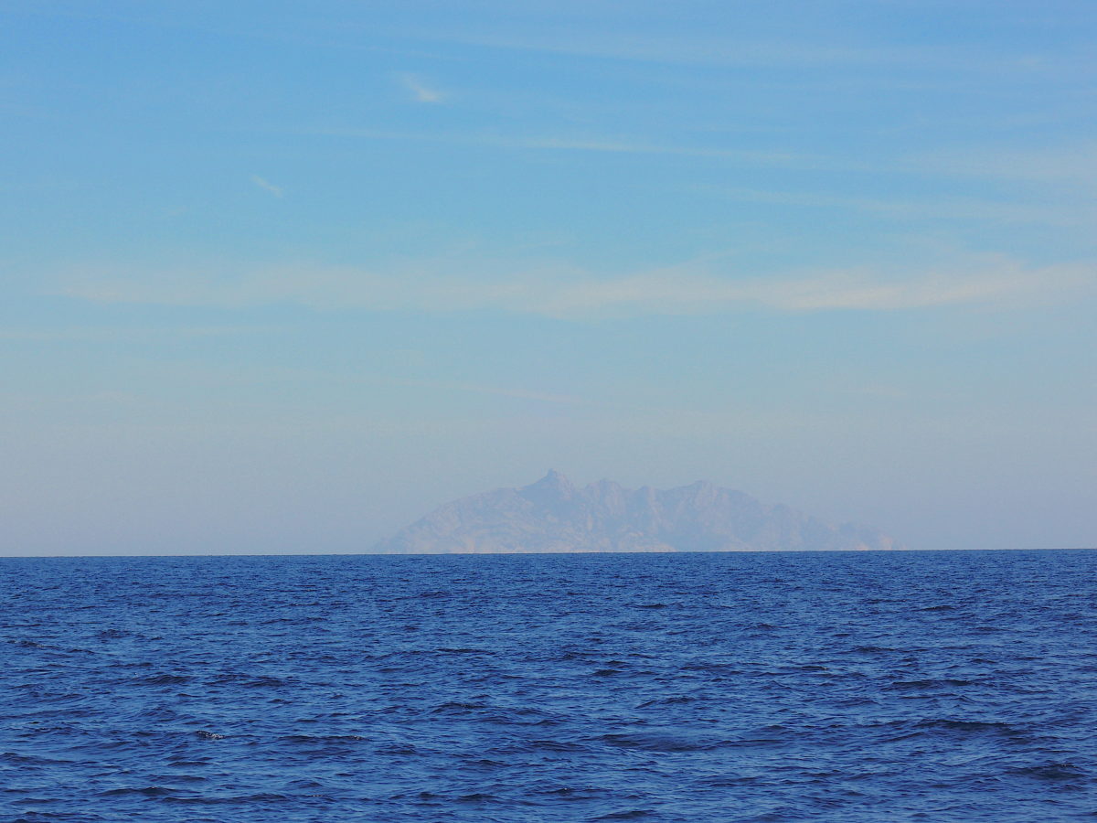
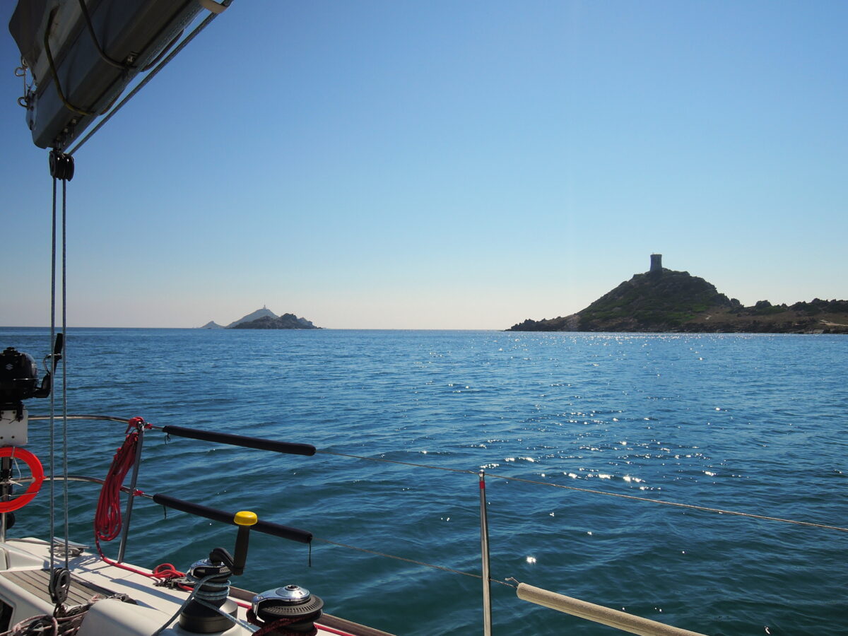
After navigating all night we arrived just after sunset at Cap Corse.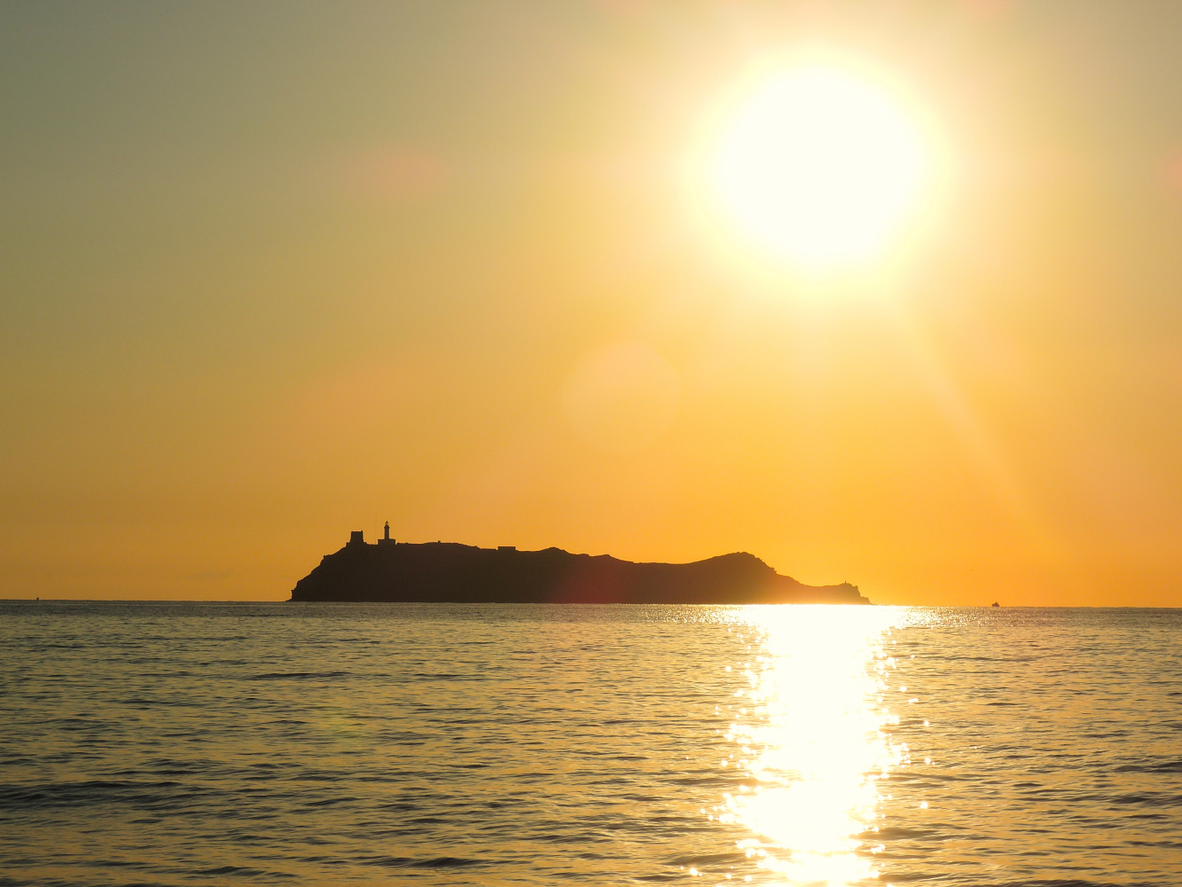 Giraglia Island, just North of Cap Corse
We anchored in fornt of Barcaggio, a small village on the North side of Cap Corse.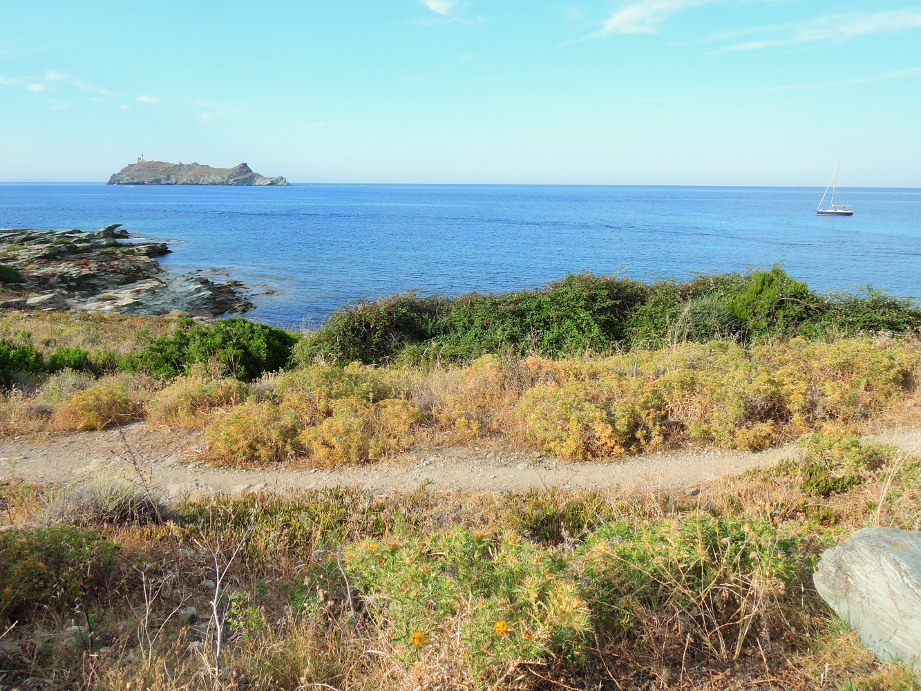
We found a suitable spot to anchor, after dropping -and making sure it holds well- we tried to get some sleep, we felt we deserved that…
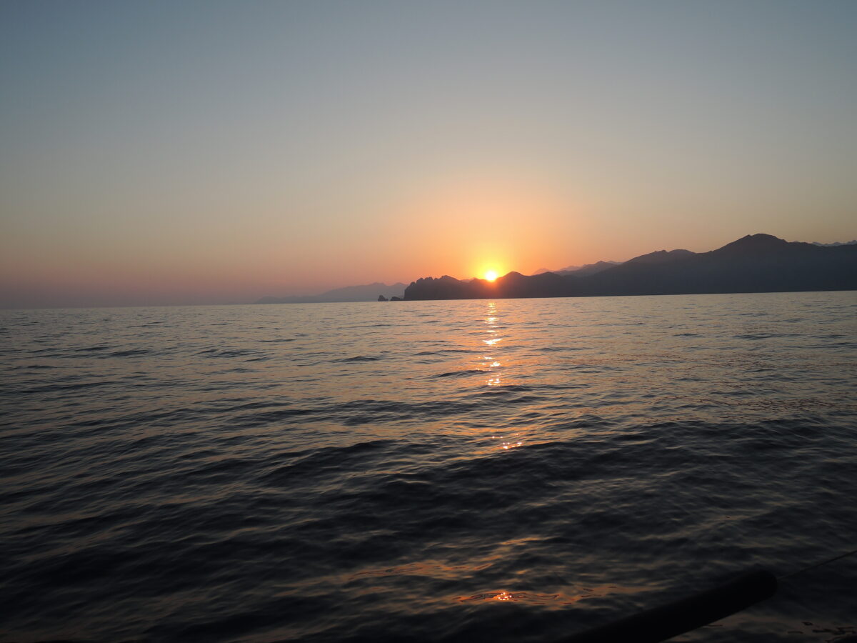
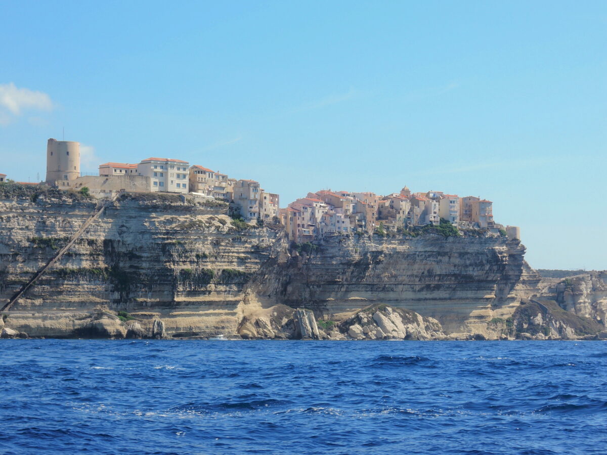
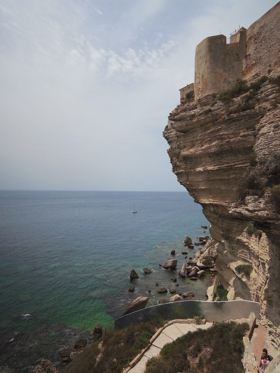
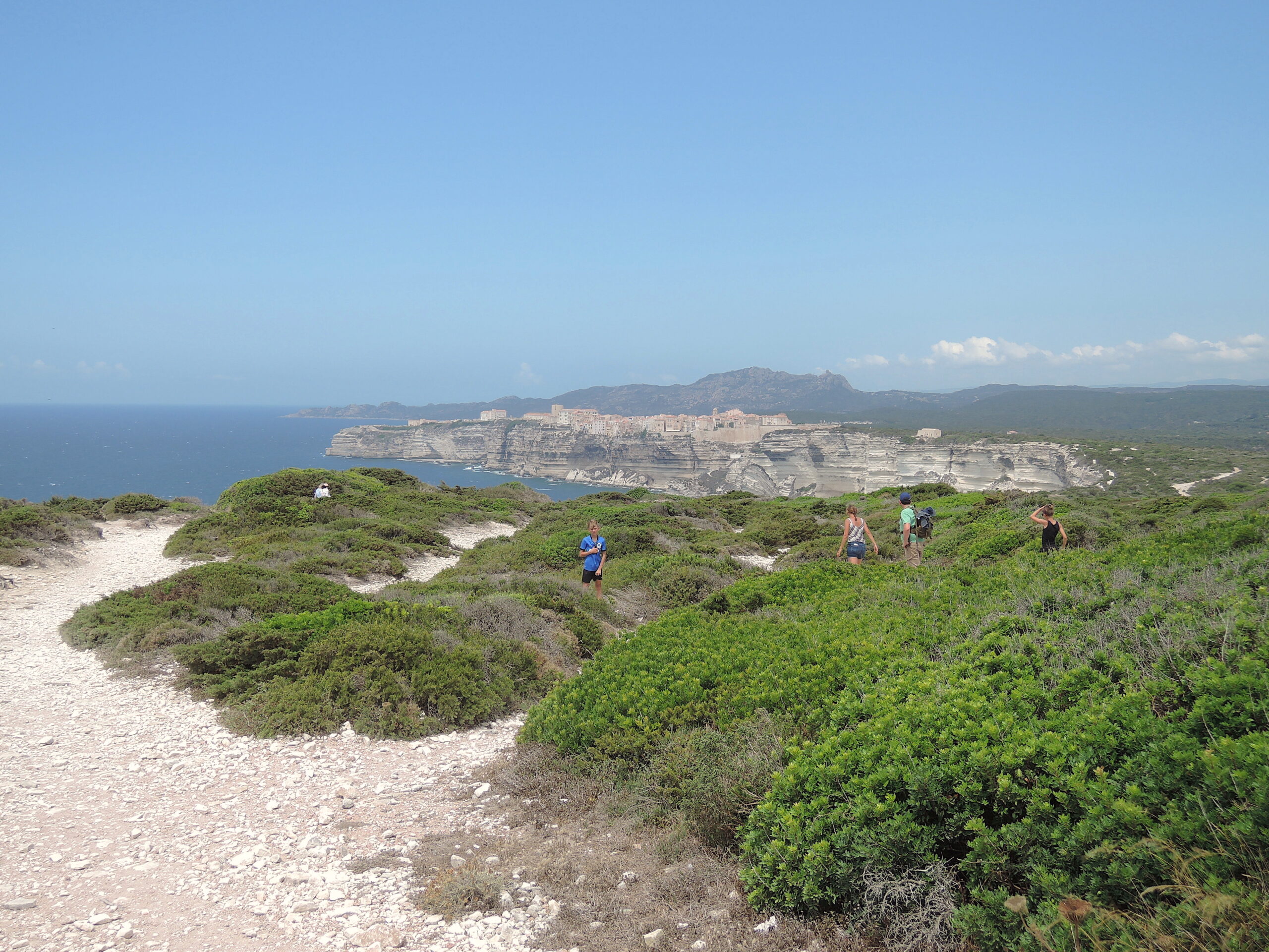
Unfortnately around 9 AM (after roughly one hour of sleep) the French Navy came for an inspection of the paperwork. After that we gave up on sleeping and made a small trip ashore…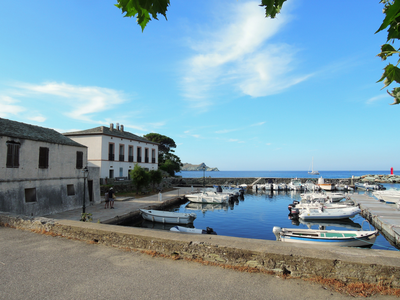 We were able to stay one day in the Northern outscurts of Corse, than the weather forced us to leave Cap Corse, winds were increasing to 25+ knots from the East, not an ideal situation to anchor in this specific area. We decided to head in the direction of Saint Florent, roughly 25 NM, on the Northwest side of Corsica.
During the day we anchored in the bay of Golfo d’Aliso. A sandy beach with a bar where it is also possible to eat.
Unfortunately when we were there they had no food left and in the evening we had to go to the bay of Saint Florent as the wind -and above all the swell- increased tot a level that staying was not really an option…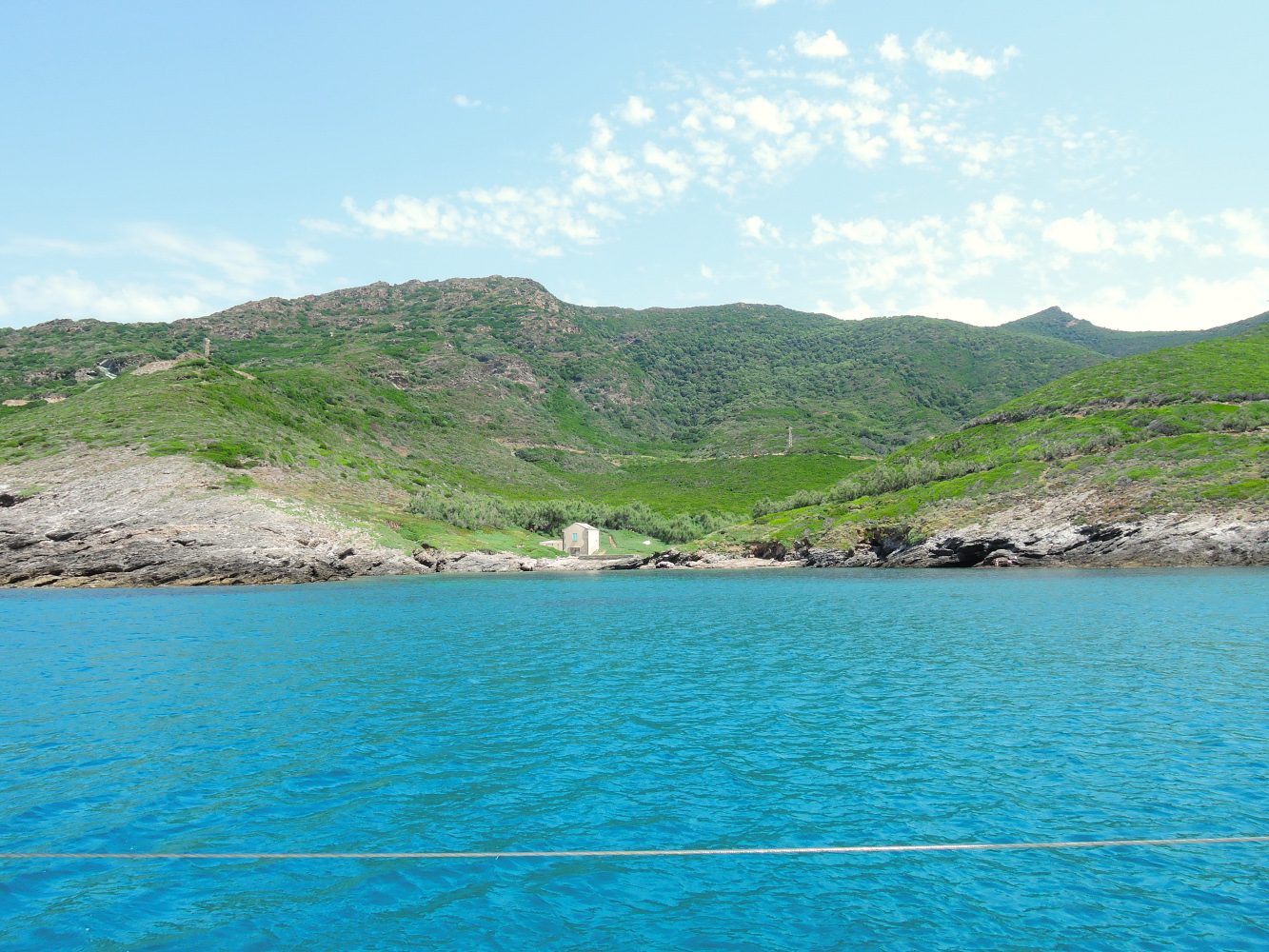
Baye d’Aliso, deserted with only a bar ashore and a desrted house. Sand, Good holding
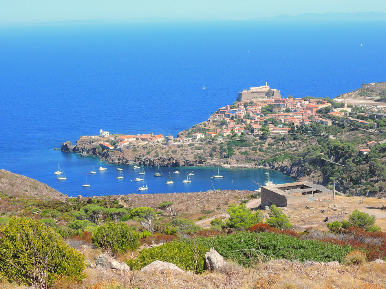
Just North of Saint Florent are the abandoned asbestos mines.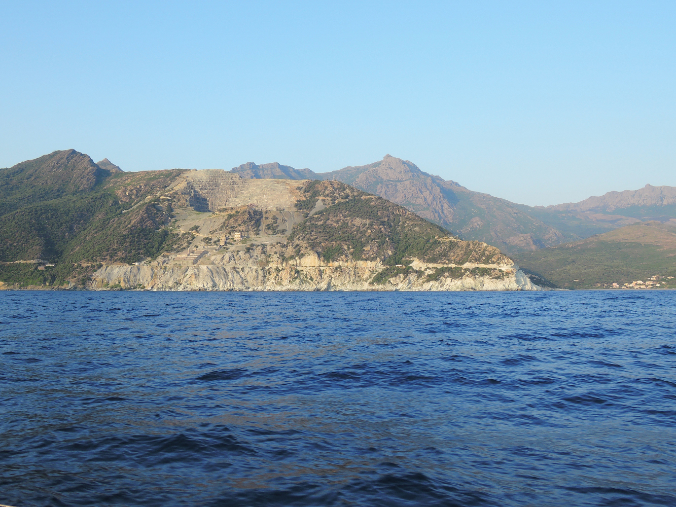
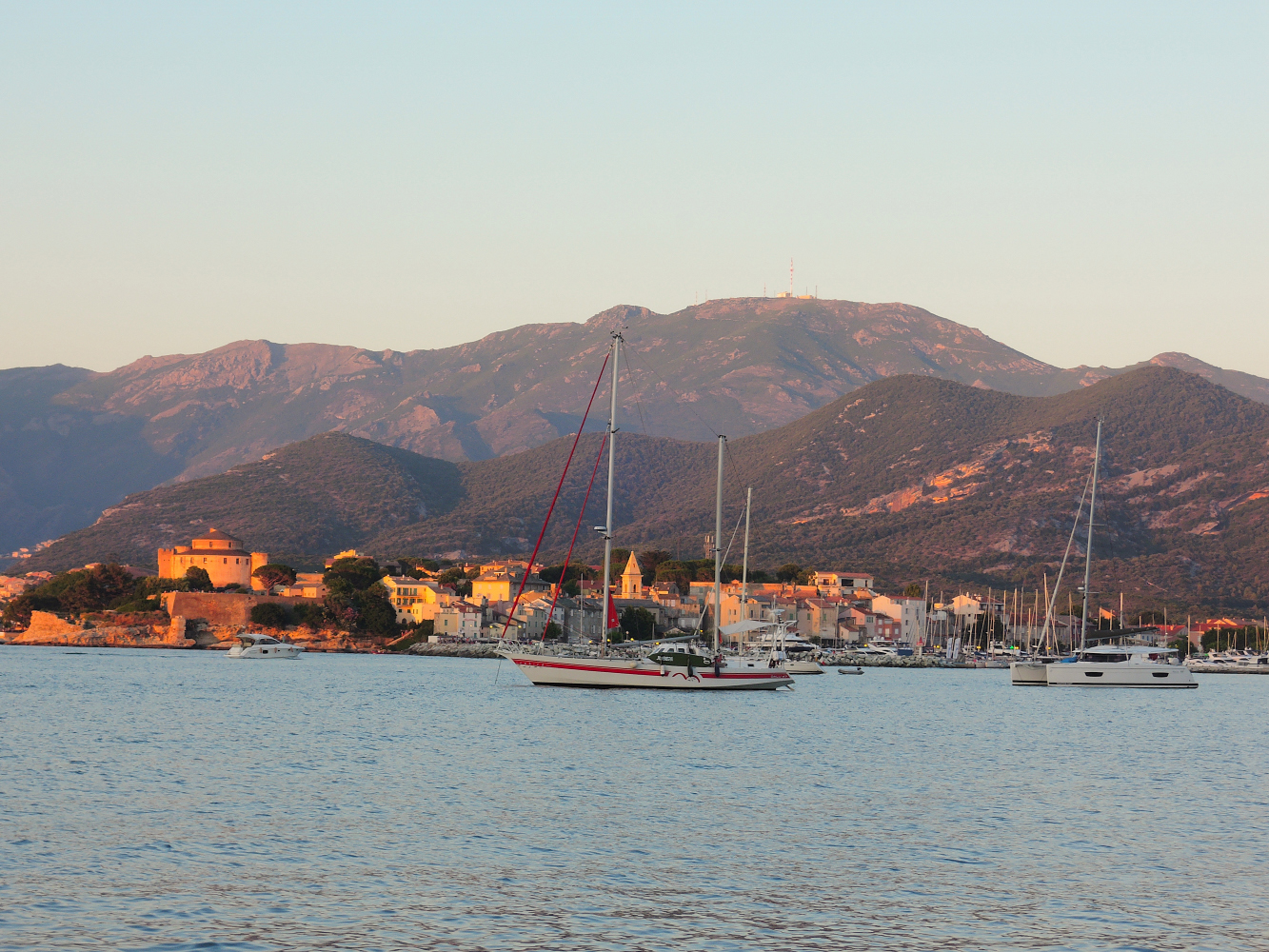
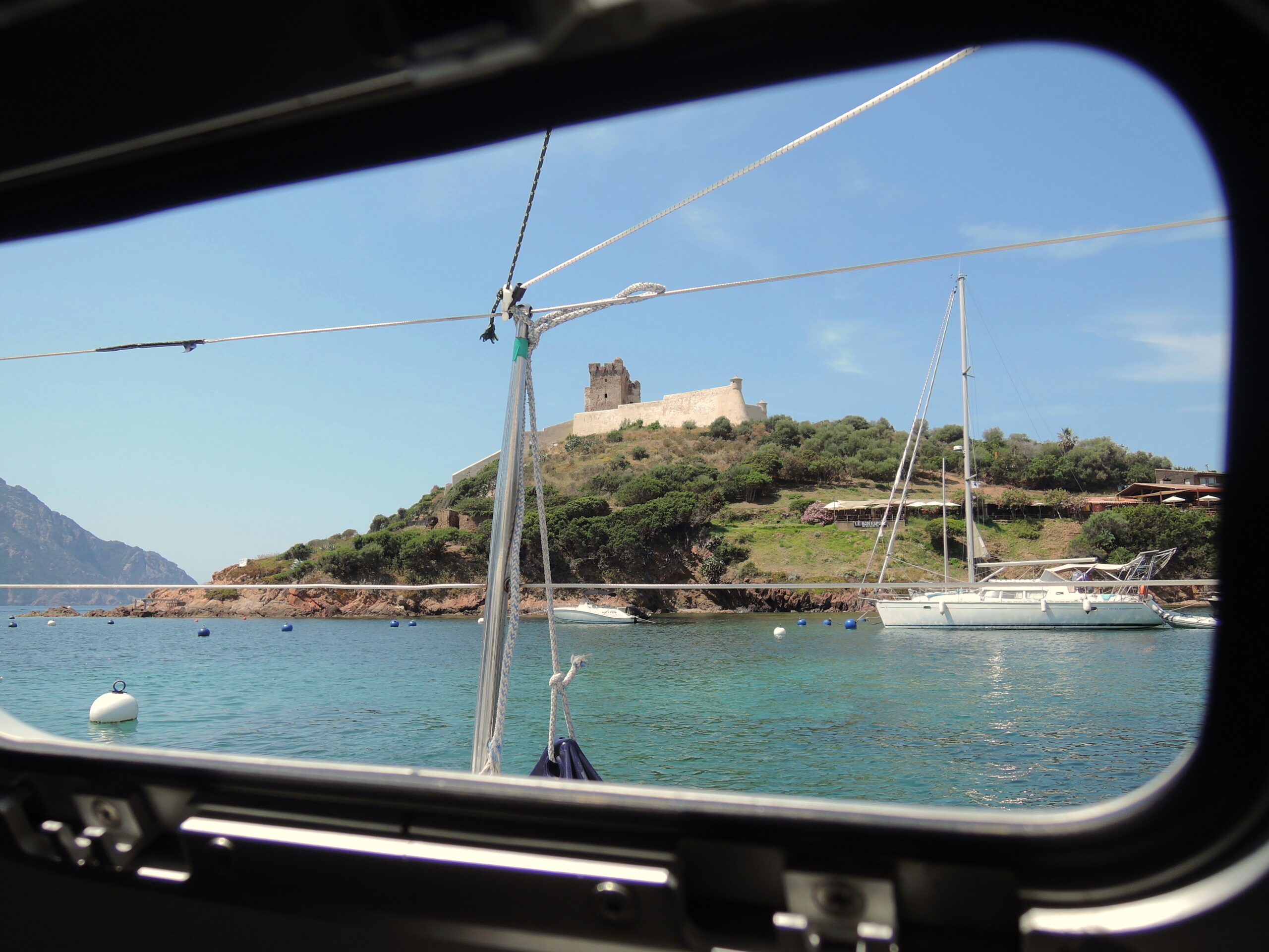
Corsica, Saint Florent seen from the bay of Saint Florent
 Saint Florent Bay, looking towards Pointe de Fornali
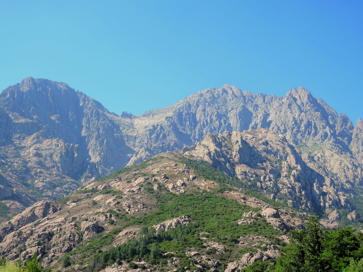
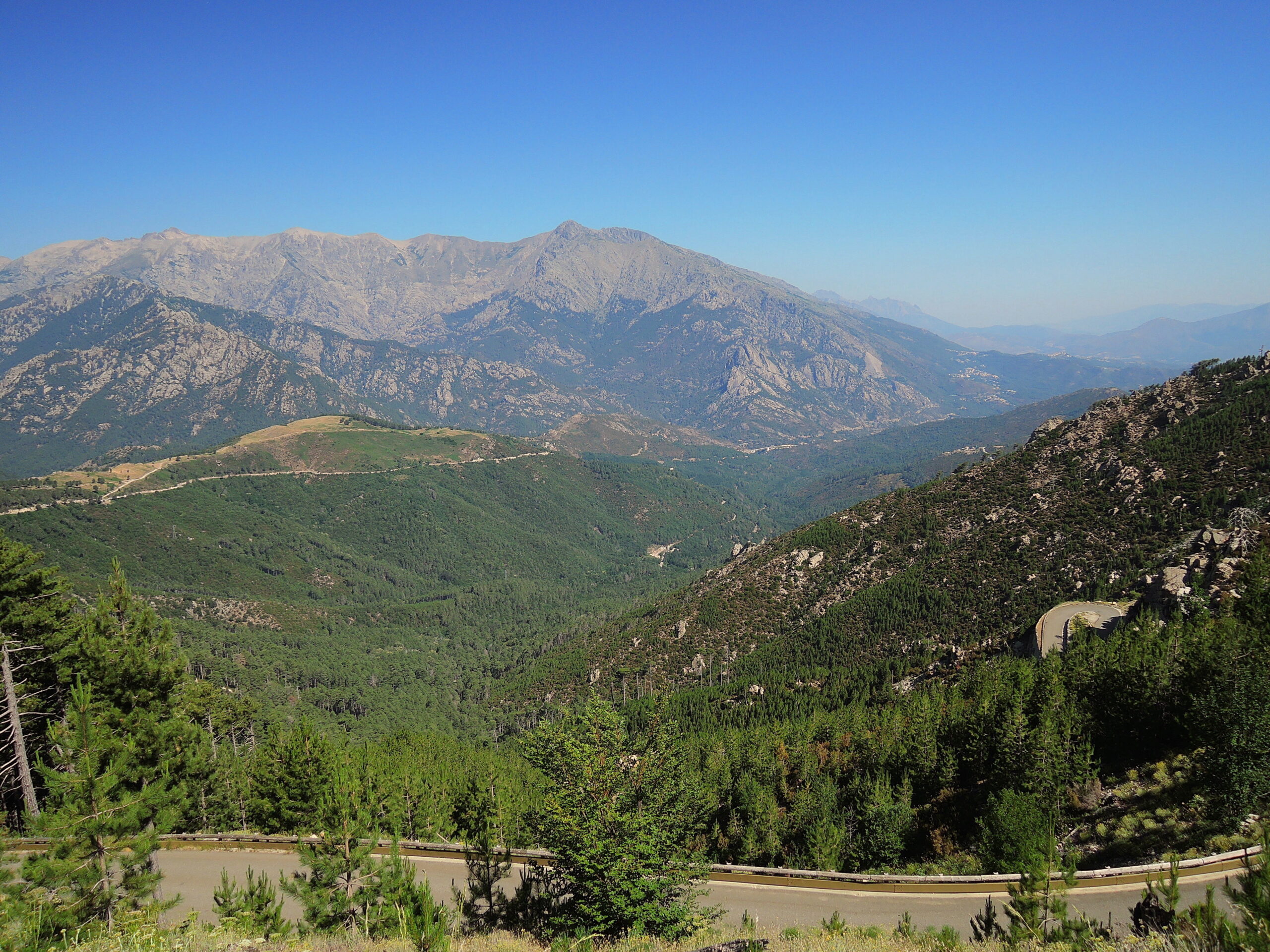
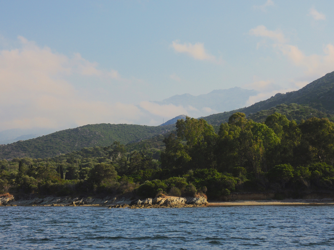 Anchorage at Pointe de Fornali, looking at the impressive mountains of Corsica
In case of Mistral shelter can be found near Pointe de Fornali, in calm weather with winds other than NE-NW the anchorage near the village in the bay opposite of the harbour offers good protection and connexion to the city and the beaches, where wildlife and tourism seem to live in harmony…;-)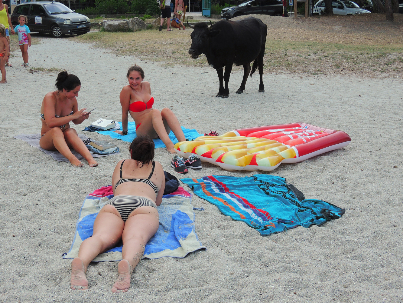
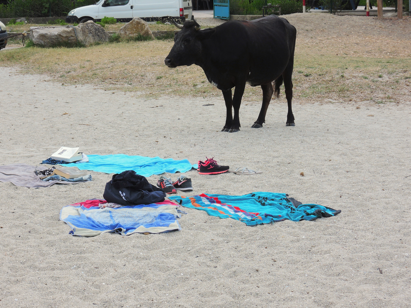 The girls decided that maybe it would be wise to give the animal some space…
As the wind would turn Northwest we decided to leave for the Eastern side of Cap Corse, a first stop at Maccinagio, than further South, (staying outside the windy area) to Marine de Pietracorbara. From our anchorage at Pietracorbara we could already see our next destination…Capraia!
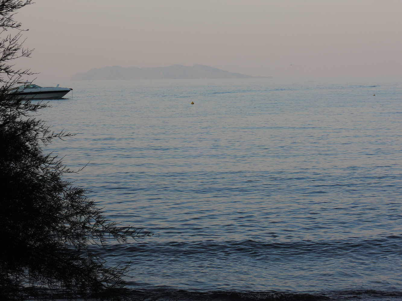 The next day we left for Capraia, a trip of around 28 NM
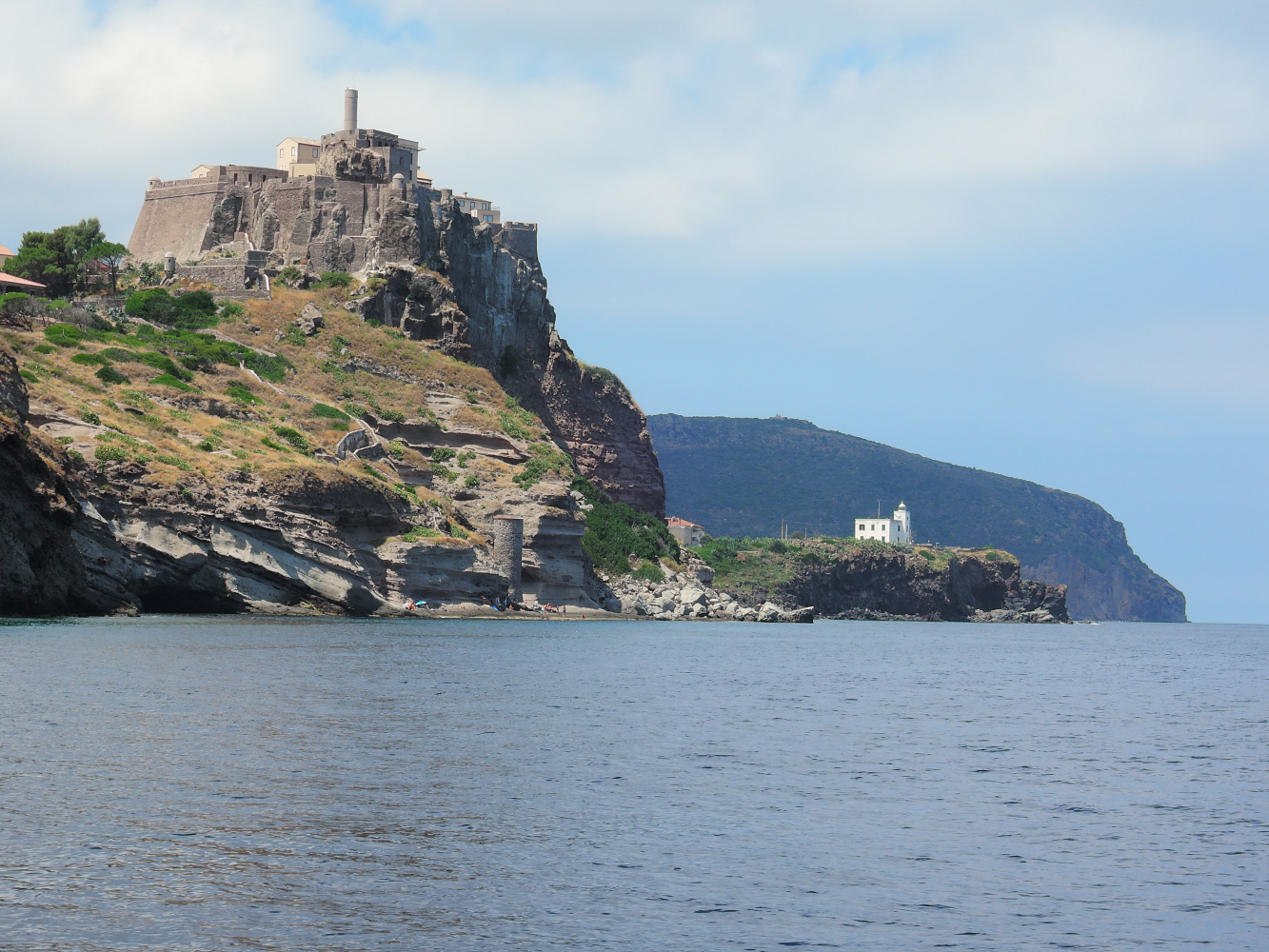
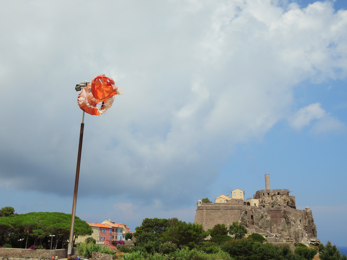
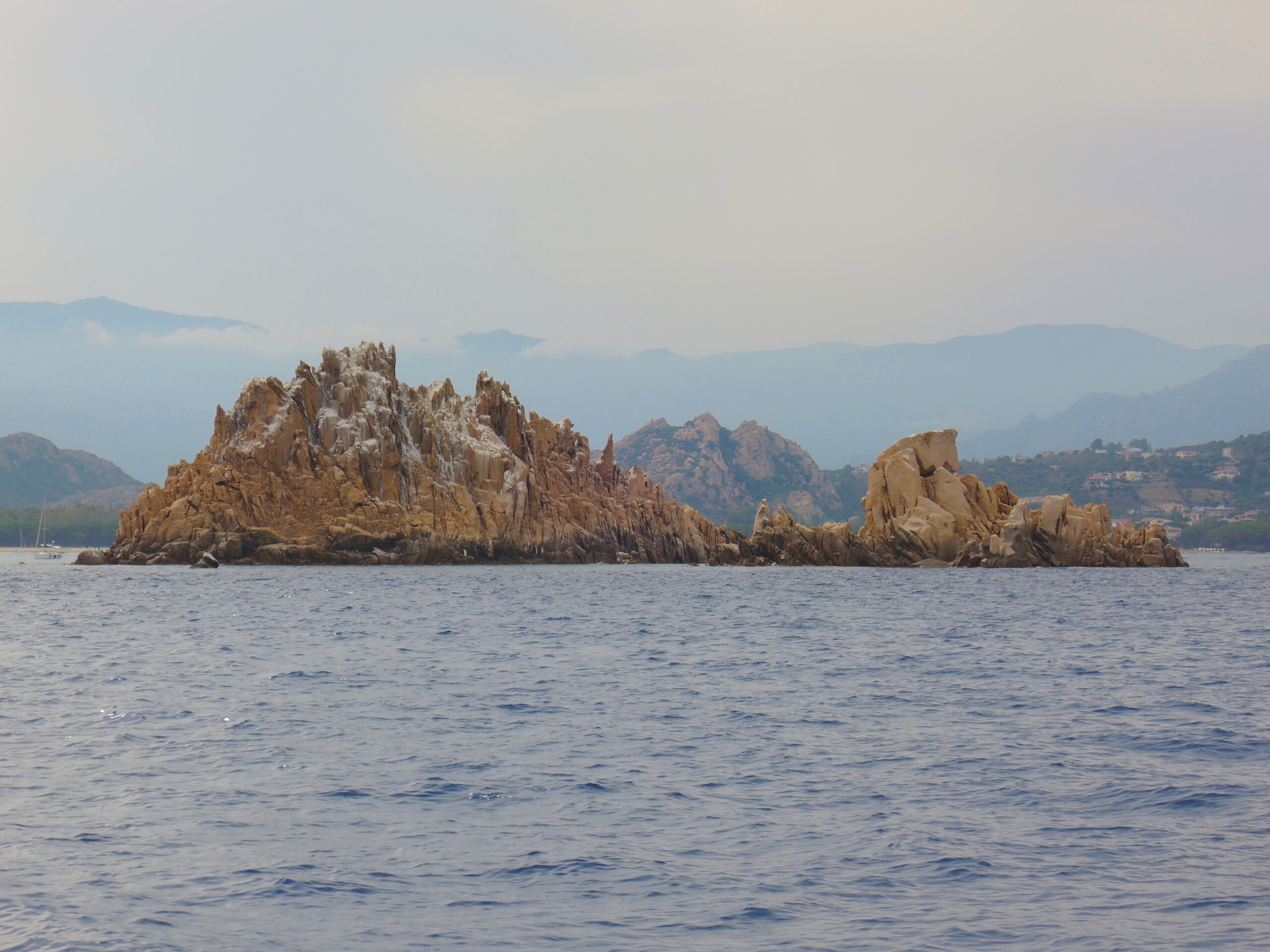
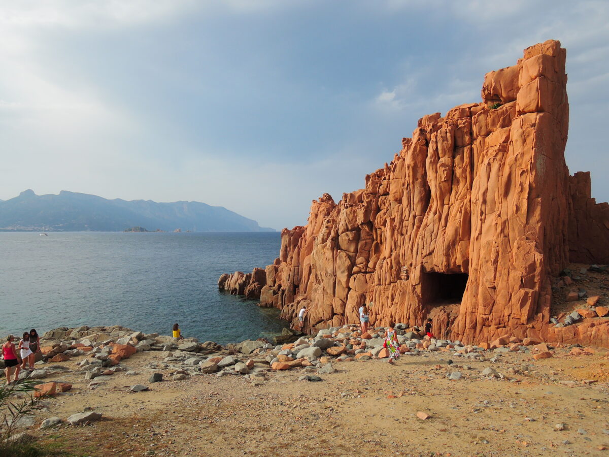
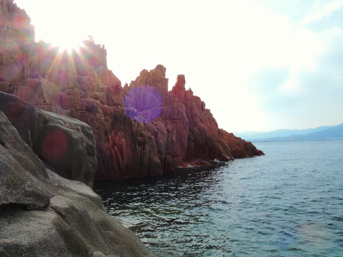
Capraia Isola
Imagine a big rock of lava, eight kilometres long and four wide, with no beaches, no umbrellas, no traffic lights and clubs. There are so many “without” that is easier to tell what is on this island. A small harbour and a little village of small, colourful houses. One road, a castle, two towers, a traffic cop, three policemen, a postman, two grocery stores, four fishermen, a school, a priest, many cats, so much lava, plenty of Mediterranean vegetation, fish and birds and hundreds of mouflons.
Lorenzo Dotti, painter and naturalist.
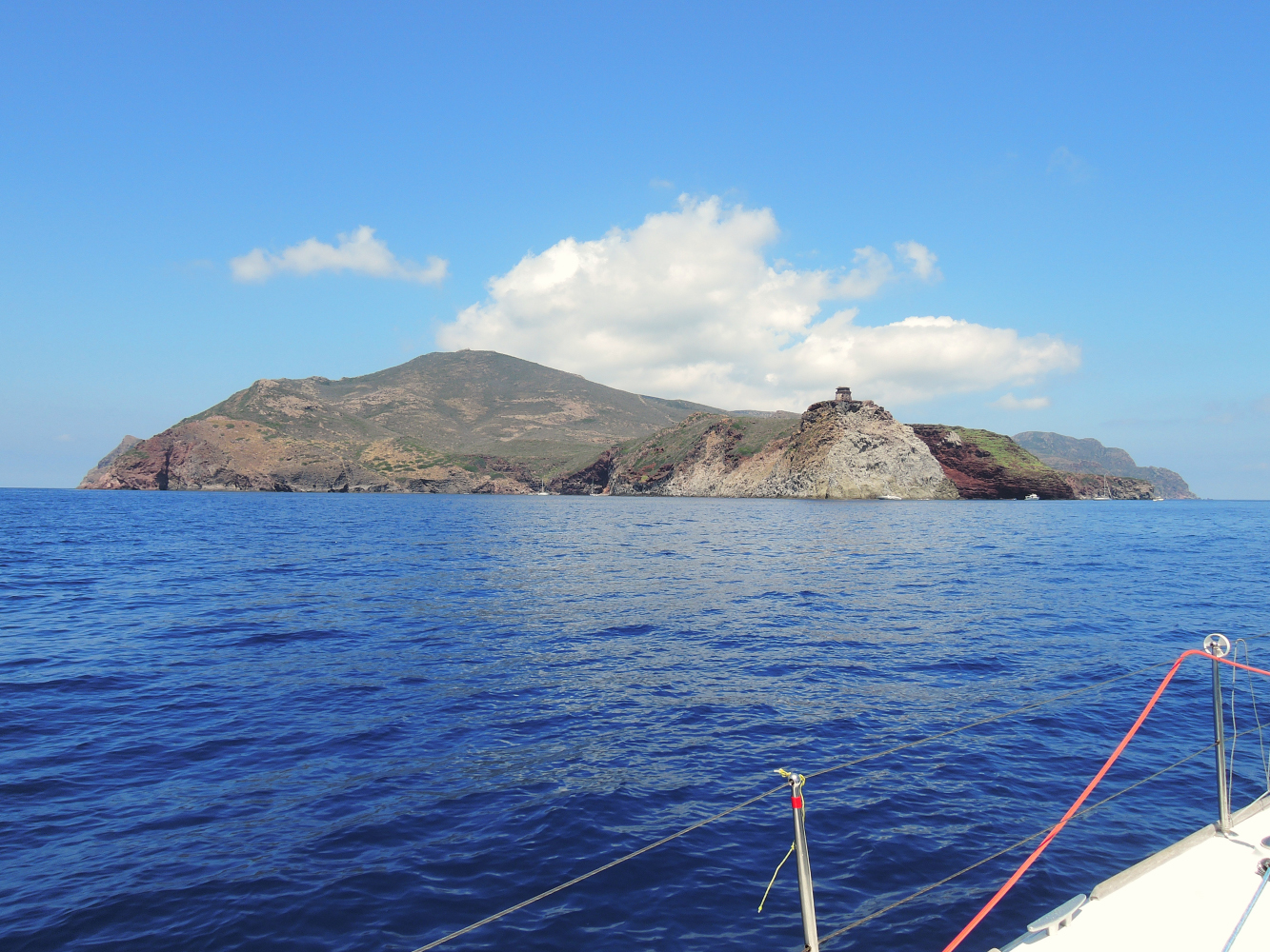
Capraia is the third biggest island in the Tuscan Archipelago (19.3 km² – 1900 ha), is the farthest from the coast, 54 km separate it from the mainland port in Livorno, and is the only one formed by a volcanic eruption that happened 9 million years ago, which produced the island’s impressive red rock (Cala Rossa cove is simply amazing).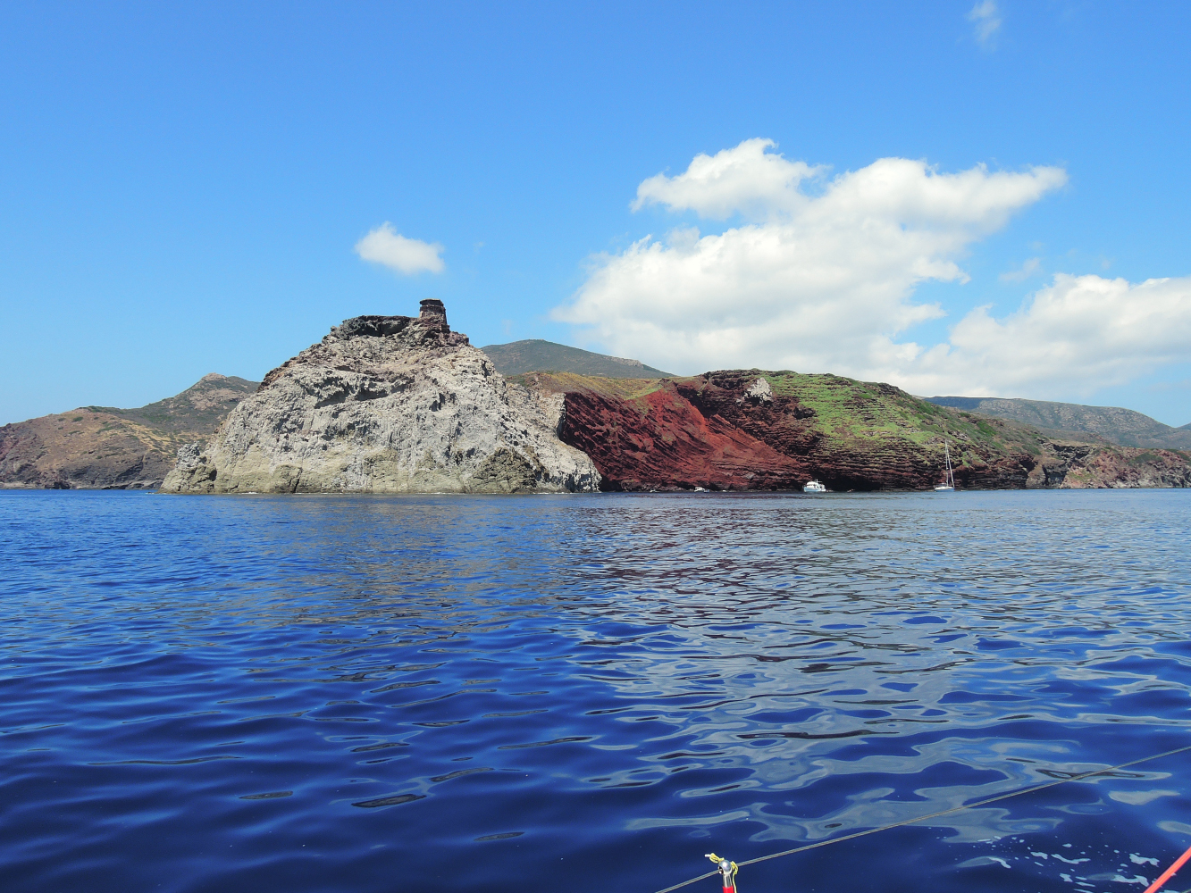
Cala Rossa, Capraia
The Phoenicians, Greeks, Etruscans and Romans have all inhabited Capraia. The island has undergone invasions by Saracen and Turkish pirates, it has housed a community of monks and has been a penal colony, but from the end of the third millennium BC until today its appearance has not changed much, and it’s no coincidence that it’s known as “Wild Island”.
 Capraia is 39 NM from the city of Livorno by sea, and 20 NM northwest of the island of Elba; it is slightly closer, at 19 NM, to the island of Corsica. The island is accessible by ferries that depart from the port of Livorno and naturally by your own boat.
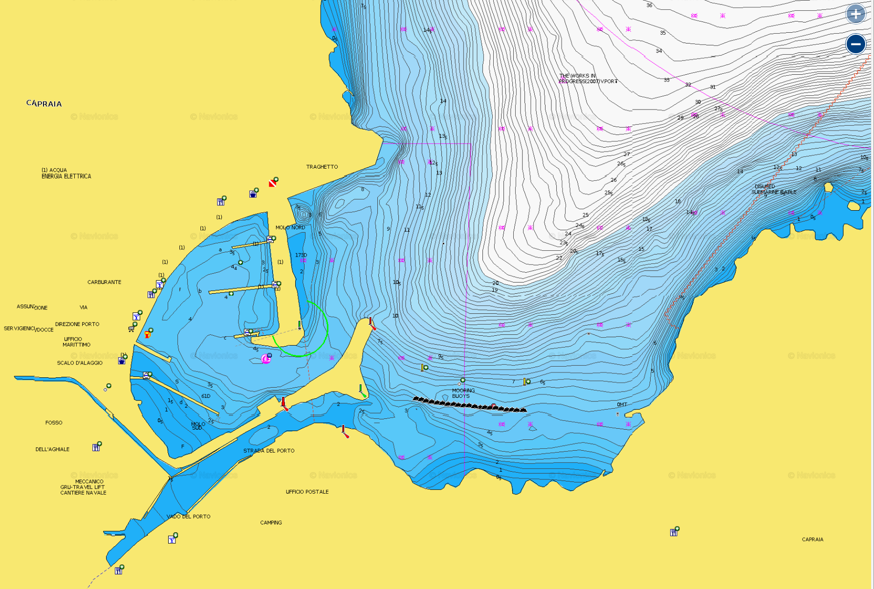 There is a harbour -in summer often full- but just outside there are moorings, well sheltered for most weather conditions (not NE).
There is a very special way of docking to these boys, always call the harbour and the harbour master will assist you, you are NOT allowed to proceed without assistance from the harbour master.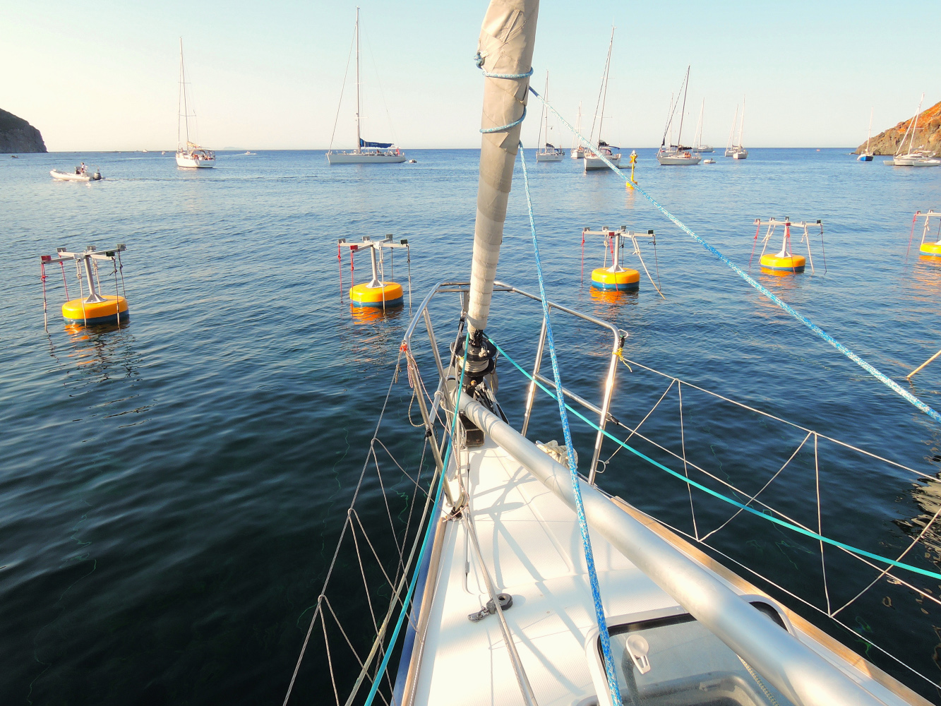
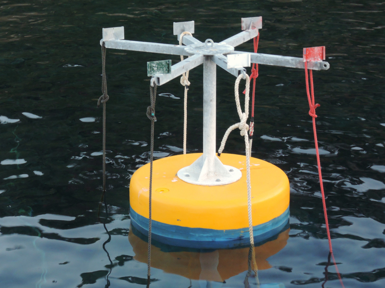 Detail of the moorings, they have two ‘pendilles’ each.
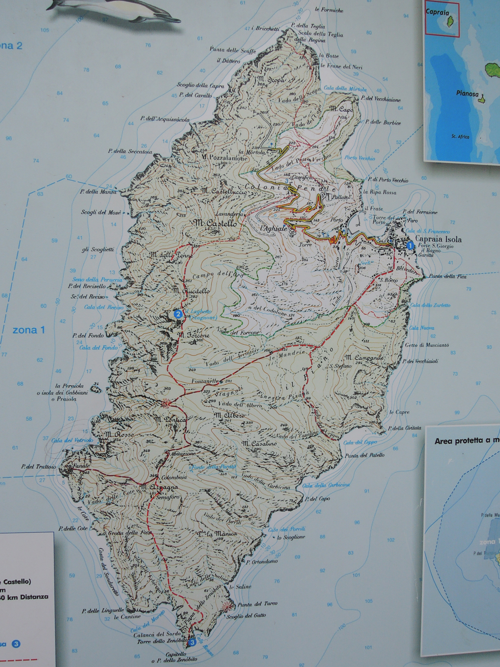 Plan of the Island, the red trails are hiking trails
Capraia is of volcanic origin, has an area of 19 square kilometres and its highest point is 466 metres above sea level.
It is about 8 kilometres (5 mi) long (from Punta della Teglia to Punta dello Zenobio) and about 4 kilometres (2 mi) wide.
It has a coastline that is about 30 kilometres (19 mi) in circumference.
The trip from both Corsica or Elba by boat is around 20-25 NM.
The island is part of the Arcipelago Toscano National Park and marine sanctuary. Anchoring is forbidden around most of the island, in some places anchoring is allowed, also diving is prohibited. In return you will find superb natural beaty and unspoild areas all over the island.
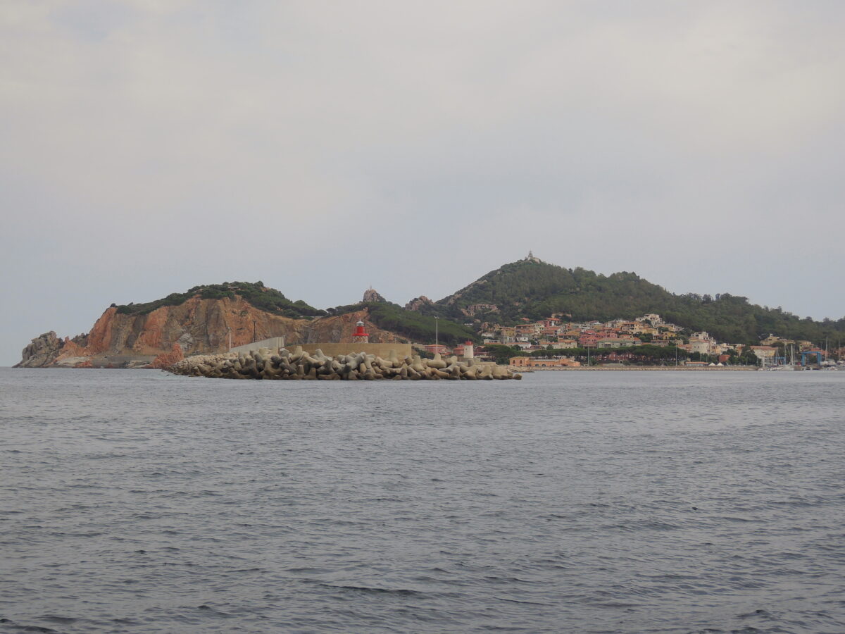
The island’s small harbour, Porto di Capraia, is connected to the village by the one and only asphalted road on the island lies just after the white lighthouse, coming from the South. From the harbour there is a bus shuttle to the town, but also on foot it is not far.
As a shortcut you can follow the steep road (green in the plan) that goes up to San Leonardo (Strada del San Leonardo) It gives nice views over the bay.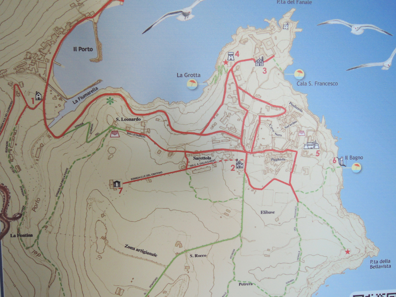
Plan of the harbour and town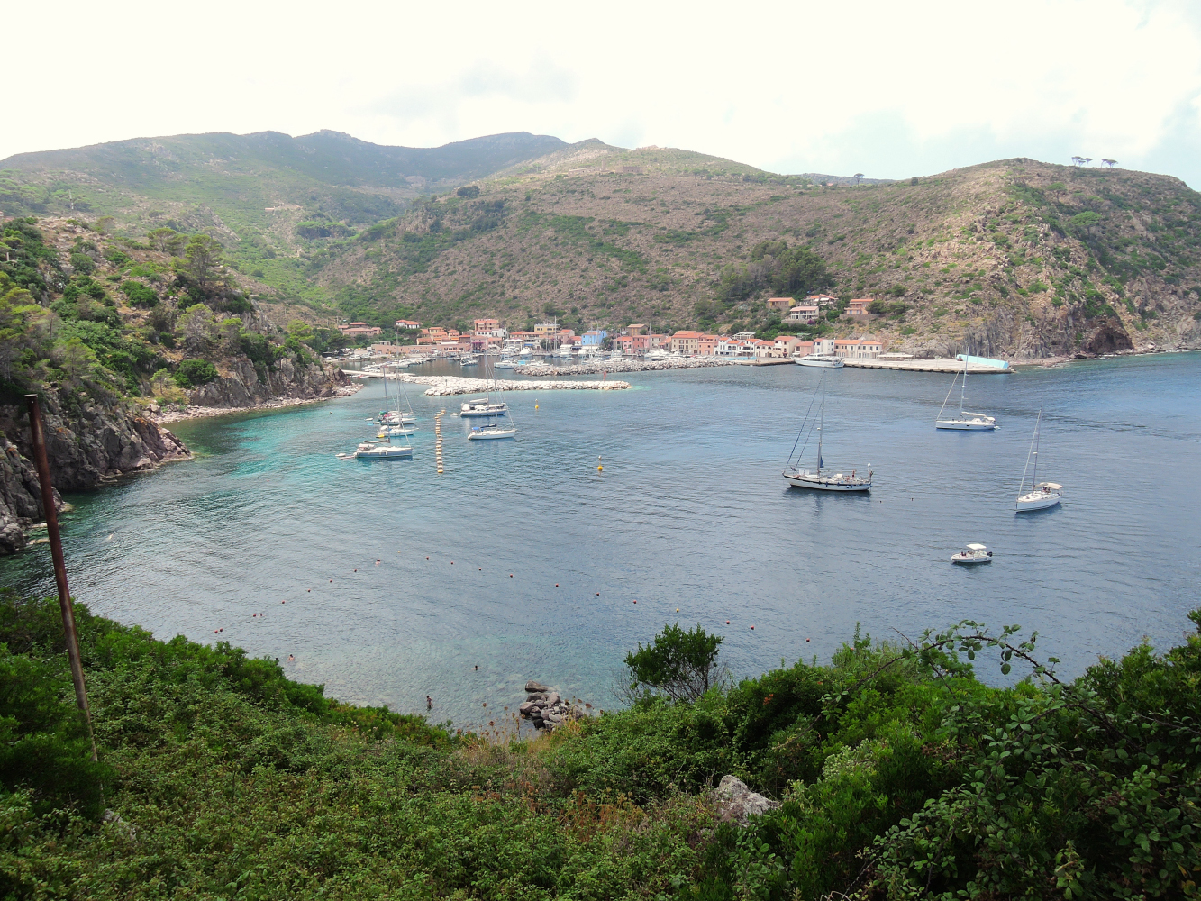
Capraia harbour seen from the hills
The village, dominated by the Fortress of St George, preserves its original characteristics unaltered. Sites of tourist interest include the Church of the Assunta, the Church of St Nicola and the Sacred Heart of Jesus, the Church and Convent of St Antonio, and the Church of St Stefano alla Piana. 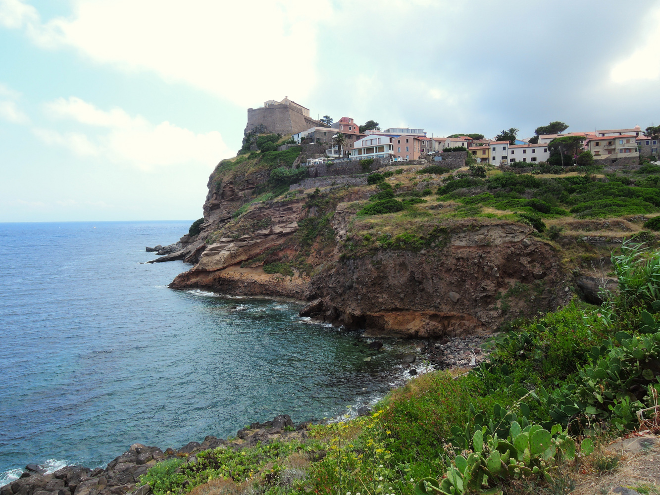
The Fortress is not open to visitors. But especially the nature on the island makes it worth a visit for hiking and the relaxing atmosphere of the whole island.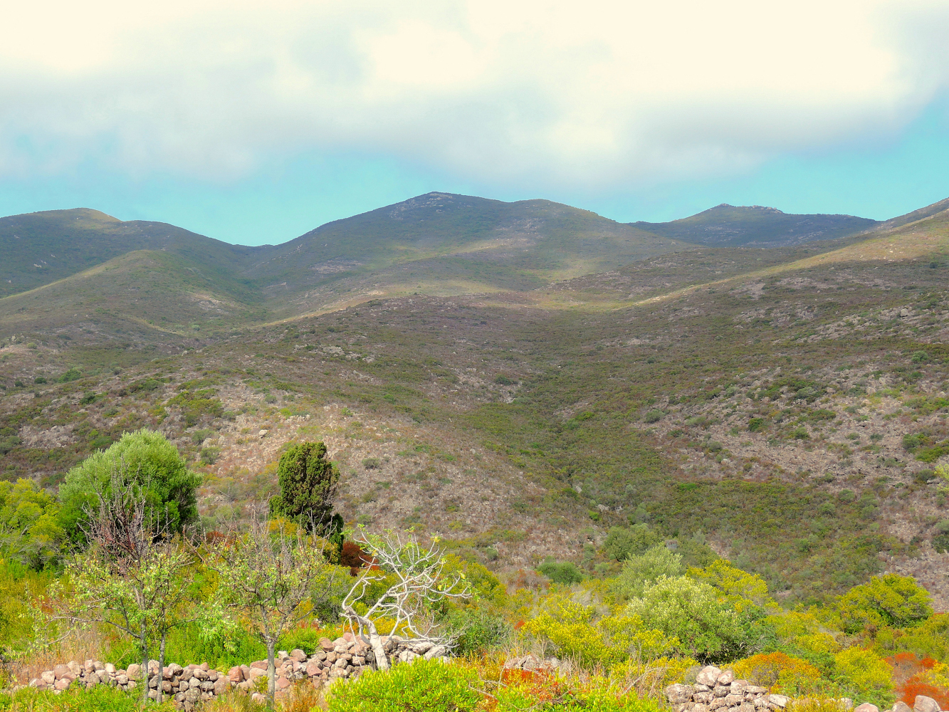 Hiking in the mountains of Capraia
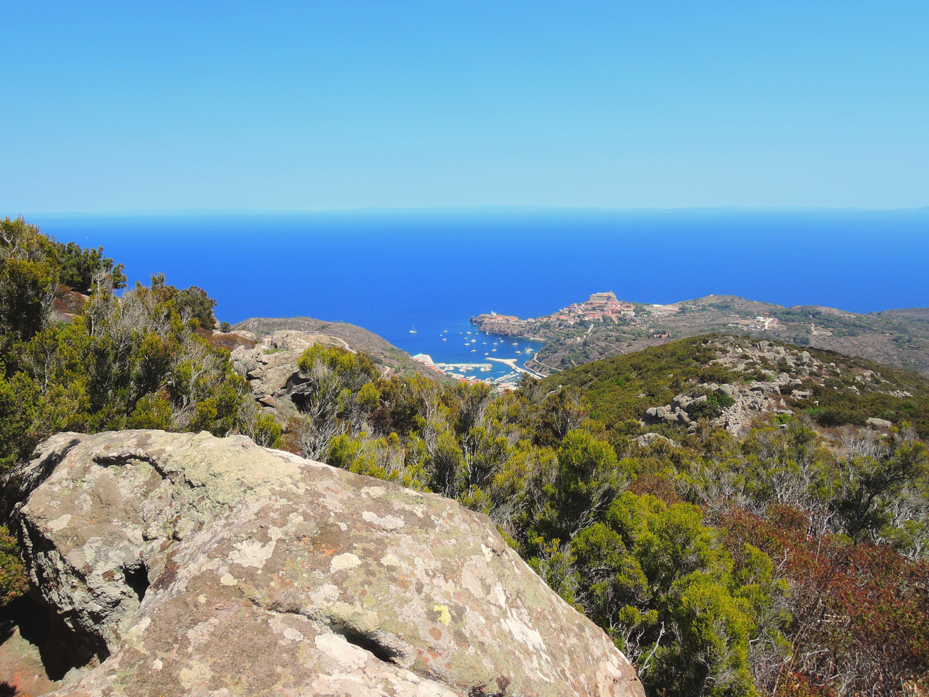 Capraia town seen from the highest mountain on the Island
 Hiking in the mountains, Elbe in the background
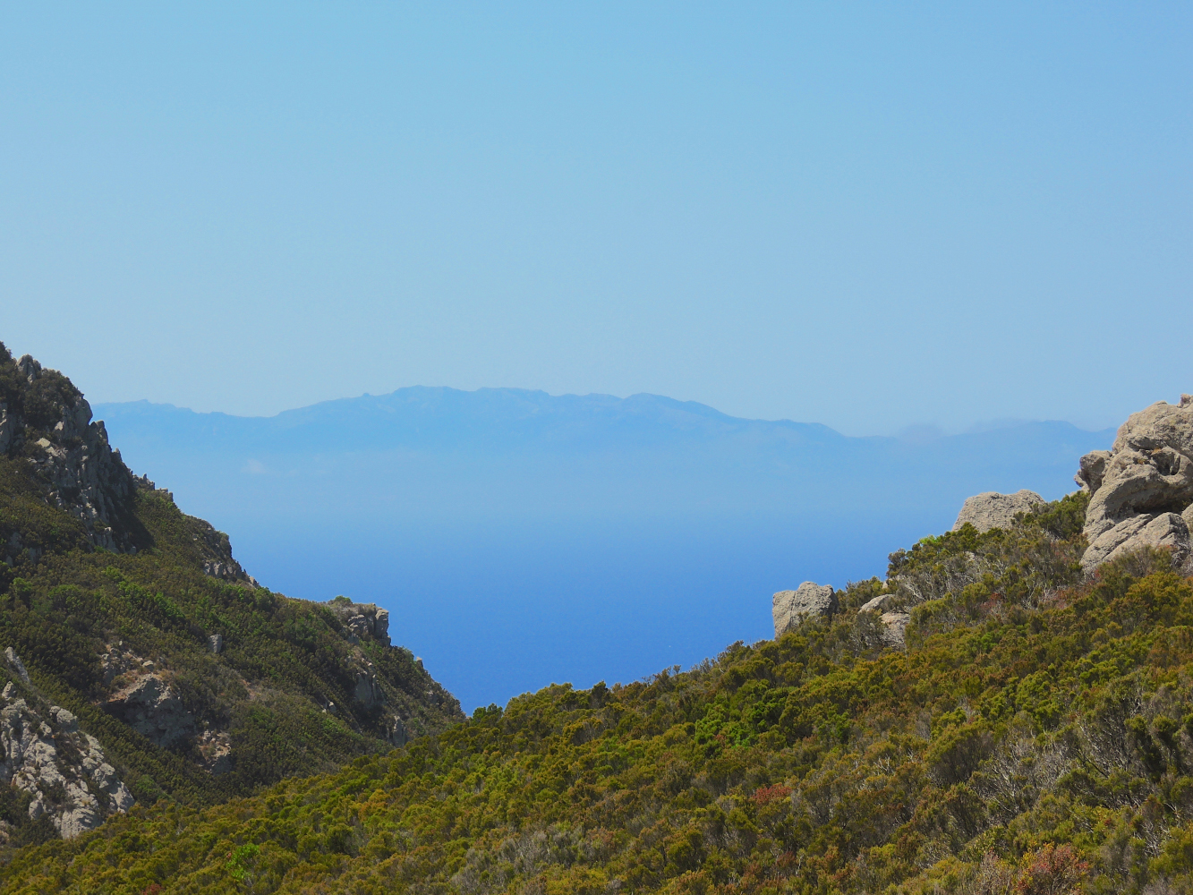 From the West side you have a splendid view on the mountains of Corsica
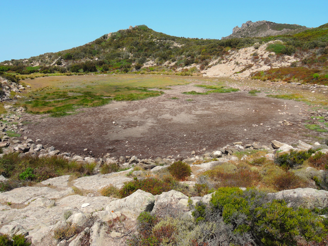
Il Lagetto (Stagone).
This lake is dry in summer and the path is not very sheltered, the roundtrip is about 4-5 hours walking, so go hiking early and bring enough water as the inland is deserted…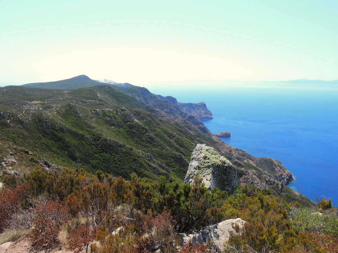 Capraia West looking towards Southwest (Corsica and Bastia)
In the summer the island is also a popular stopping point for yachts sailing between Livorno, Elba, and Corsica.
It is not easy to imagine this island before visiting it, but these numbers might be useful in understanding the delicate environment of Capraia Island:
- Around 300 people live here and usually at Christmas time there are 80 people on the island.
- There are only two tiny villages and both overlook a bay facing east. One is actually the harbour area and the other one is the oldest village protected by San Giorgio fortress.
- The only paved road on the island connects these two settlements and it’s about 800 meters long.
- Only 3% of the island is populated, the other 97% is a National Park or the area of the ex-prison (active from 1873 to 1986).
- Of the more than 650 plant species surveyed, nearly 3% is endemic
- About 77% of the territory is protected, excluding the area around the harbour and the upper town. Only a part of the coast is inaccessible (zone 1) and is located on the opposite side of the harbour.
Maybe now you can understand why it’s called Wild Island. You need this introduction to prepare yourself, because if you like adventure, trekking, sailing and off-the-beaten-path sights, you’ll definitively fall in love with Capraia. But if you’re looking for the buzz of a glitzy beach club, broad stretches of golden sand and nightlife, then this is the wrong place.
On Capraia each season has its own charm and offers its own possibilities.
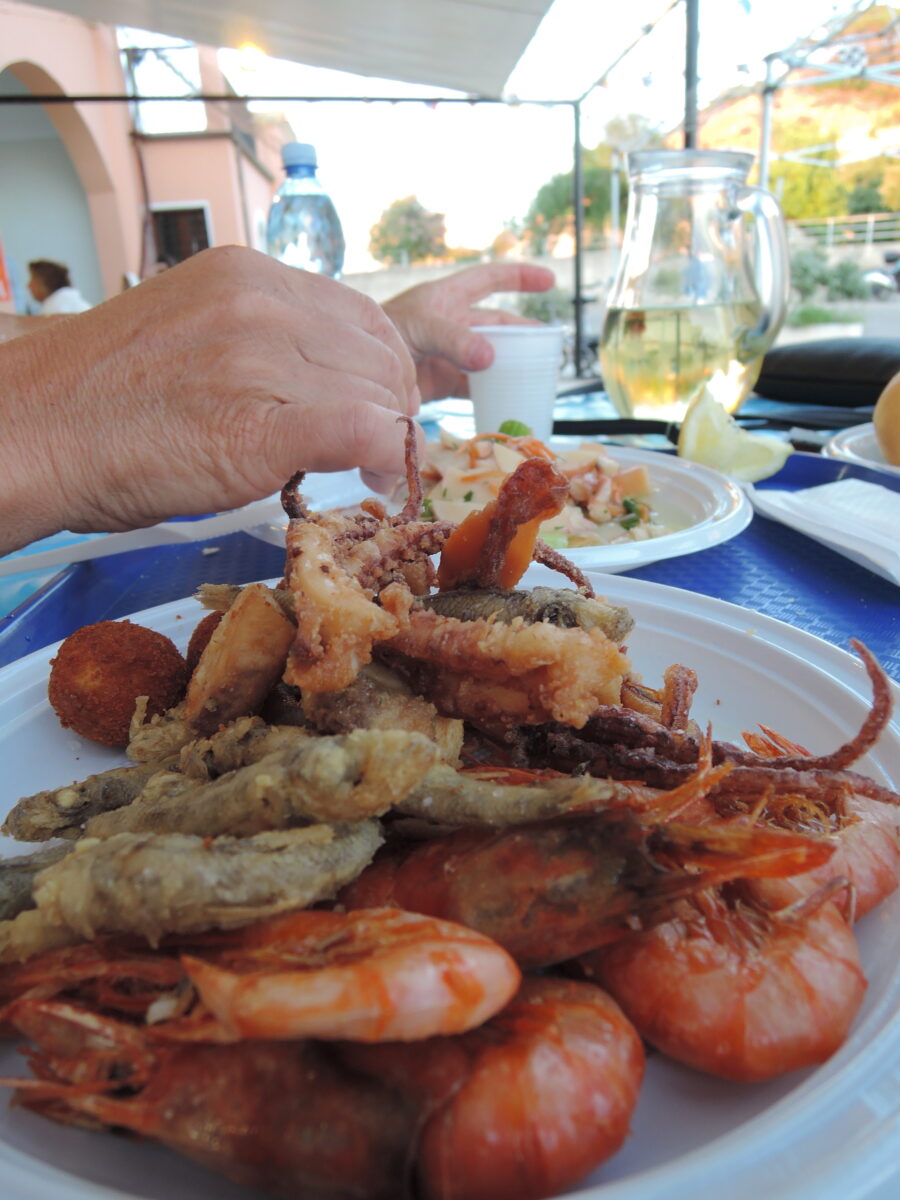
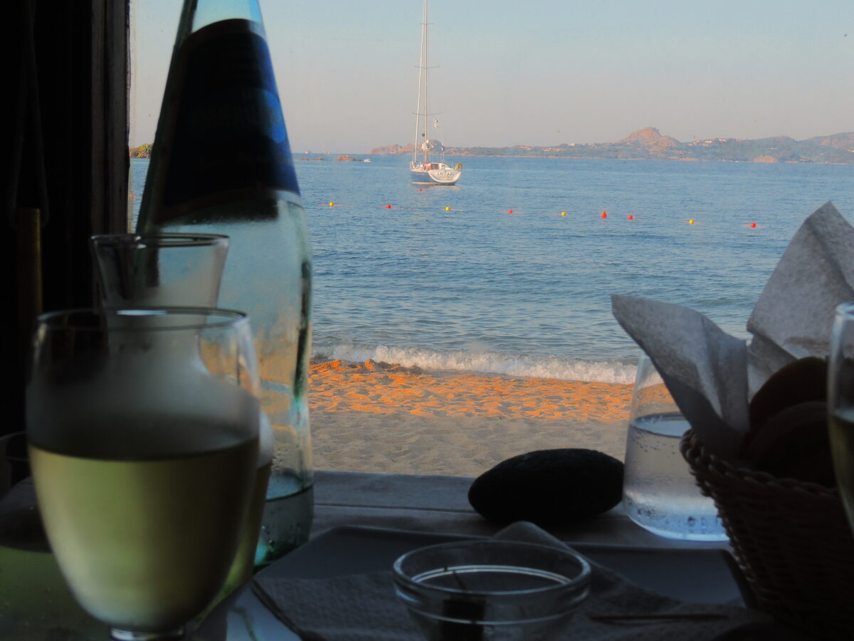
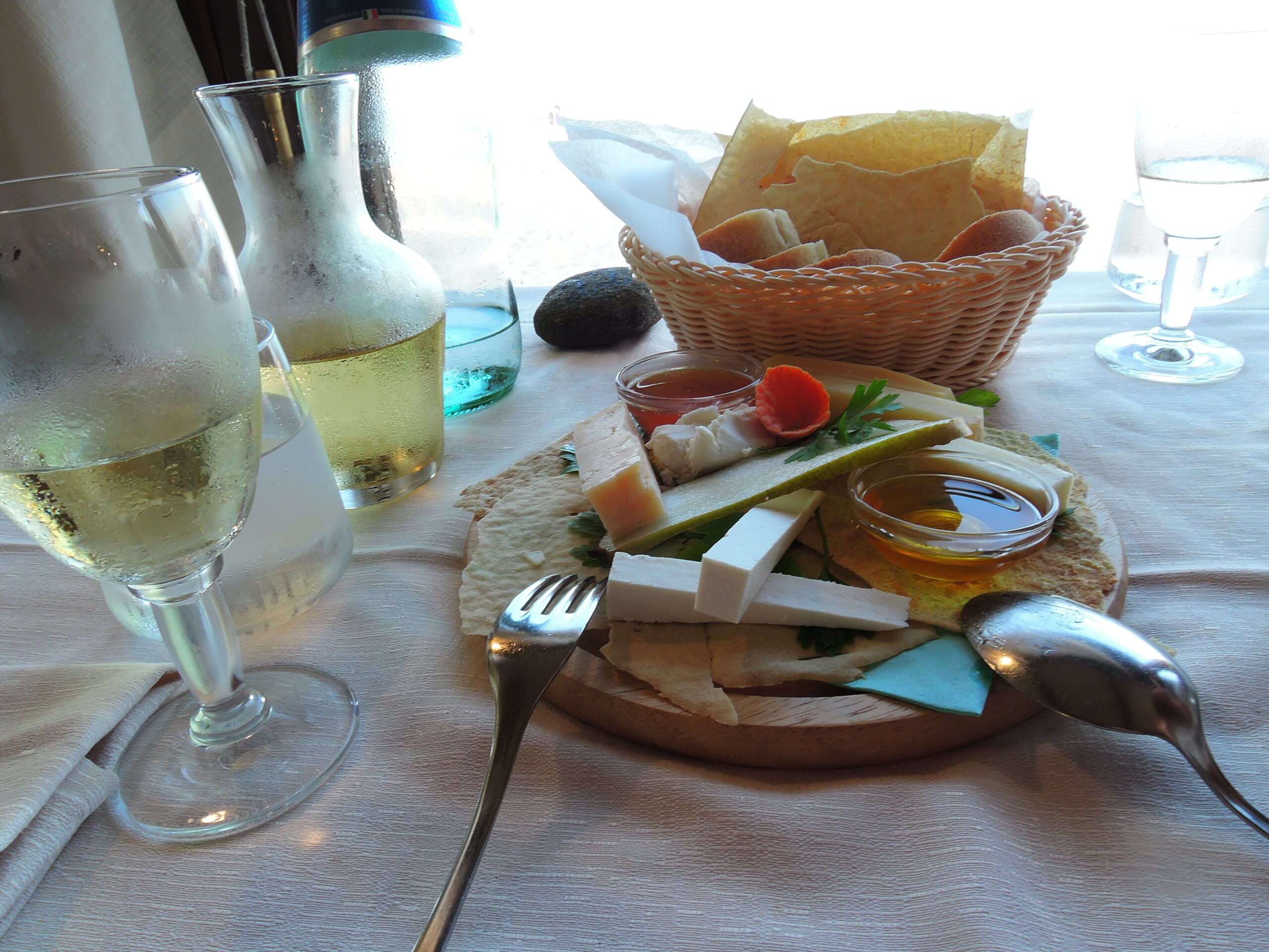
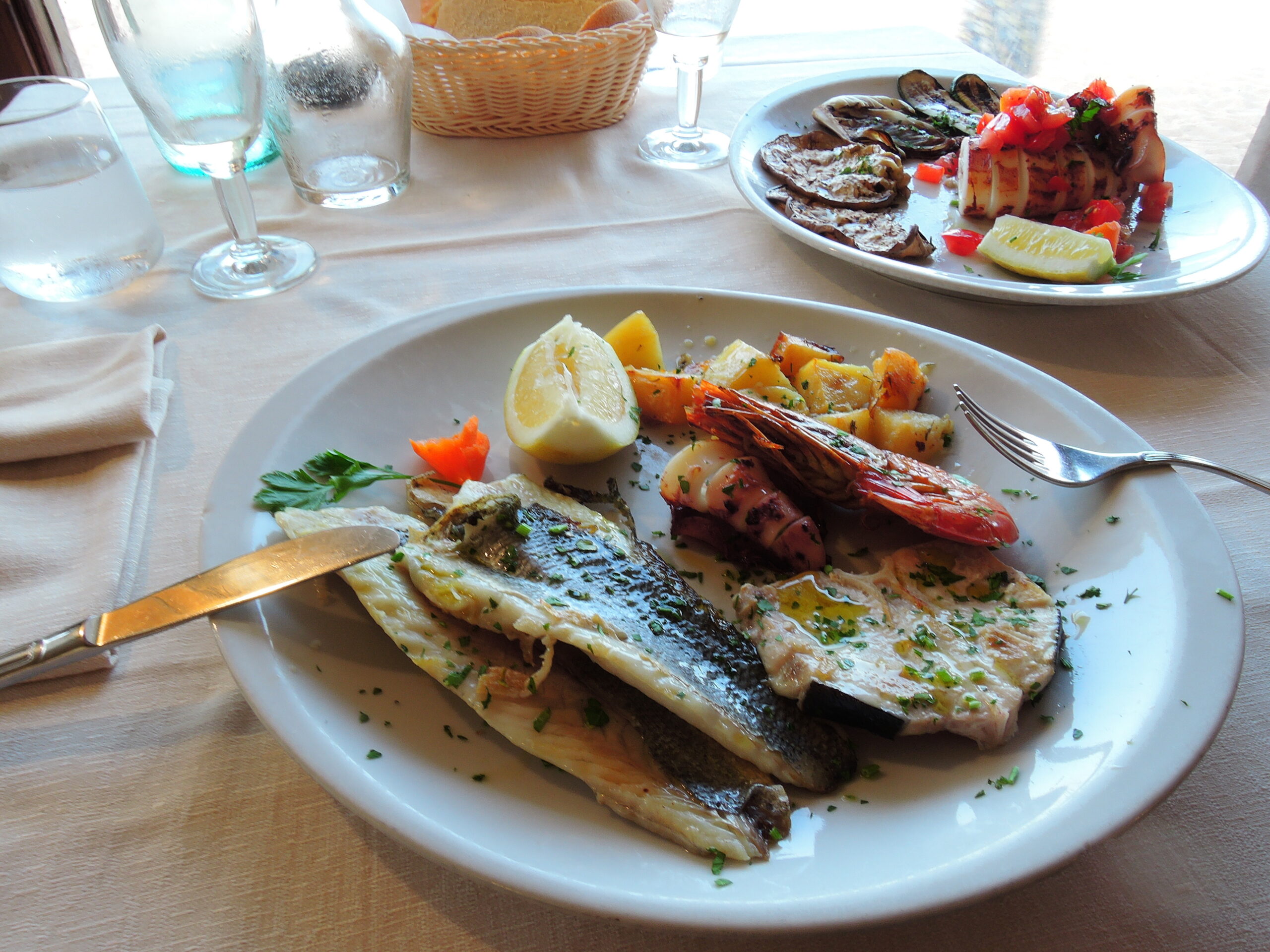
Spring is perfect for hiking, flowers and bird watching. Summer is perfect for sailing, tanning and to see the island at the height of its vitality but keep in mind that it gets very hot during the day, especially in the central part of the island. I suggest to go hiking early in the morning, and take water. If you would like to combine hiking, flowers and swimming, go from mid-May to early July. If you are a foodie with a penchant for seafood visiting between September and November is perfect, when the sea is still warm from the summer, many of the tourists have gone and the Squid Fest (Sagra del Totano) takes place on the island. But also in high season there are superb places for wonderfull food!
Our favorite is Nono Bepe, sometimes we sail especially to Capraia to have a great diner there.
Late autumn and winter are good for hikers and solitude seekers!
Explore Capraia
The best way to explore Capraia is on foot or with a boat. Basically the beaches don’t have sand – except for Mortola. There are no roads inland for cars or scooters, only paths. So perfect for hiking if well prepared
- A hat for the sun.
- Sunscreen with a high protection.
- Walking shoes (you’ll need them for hiking and to reach the rocky beaches).
- Sense of adventure…:-)
- Camera (to capture the breathtaking landscapes).
Like the Island of Gorgona, 25 NM Northeast of Capraia, Capraia itself used to be a agricultural penal colony, where the convicted spent the day in agriculture, remains of these days are still visible on the island, Northeast of the village.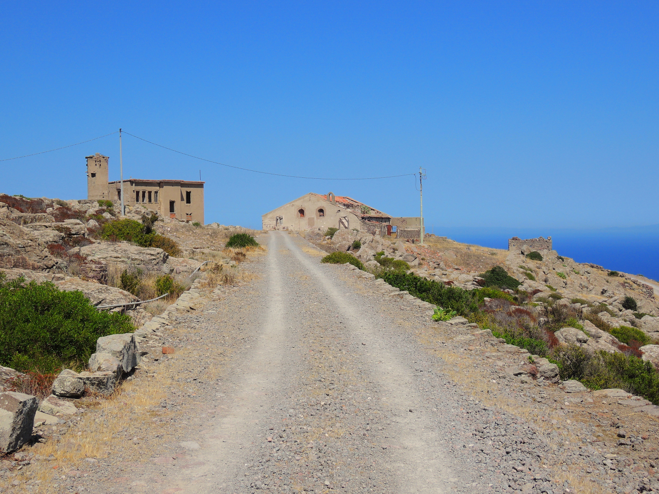 Former agricultural penal colony Capraia
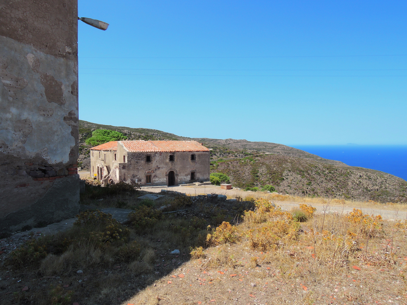
In the village, the renovated Edificio della Salata, the factory where once the prisoners were salting anchovies, there is the Park’s info point (Casa del Parco) and welcome center for visitors.
The Feast of the Assumption celebrates the patron saint on the night of August 15. The tradition is to carry in procession the golden statue of the Madonna over the waters of the gulf, which usually kept in the church of Assumption located in the village.
Local food delights
The island produces wine, and is a centre of the anchovy fishery. About 40 kilometres (25 mi) to the north is the island of Gorgona, which is also famous for its anchovies.
The typical dishes of the island are characterized by simple and authentic flavours.
The fish is the star of all the dishes and here the organic wine estate La Piana produces two excellent types of Tuscan Aleatico, a Vermentino and a brandy Aleatico. Winemaking is a very old tradition on the island, as ruins near the castle show. Besides wine you can taste myrtle liqueur, marmalades and Fecolino cake, a very local cake made without yeast and butter.
The Sagra del Totano (squid feast), is one of the most anticipated event of the year, which takes place in autumn and consists of a squid fishing contest with two categories of participants: onshore and on sea. After the contest, the celebration takes place in the harbour of Capraia with a delicious food festival.
Info (+39) 0586.905025
Our favourite restaurant is called Nonno Bepe, next to the church. We even make detours with our boat from Elbe and Corsica to have dinner here!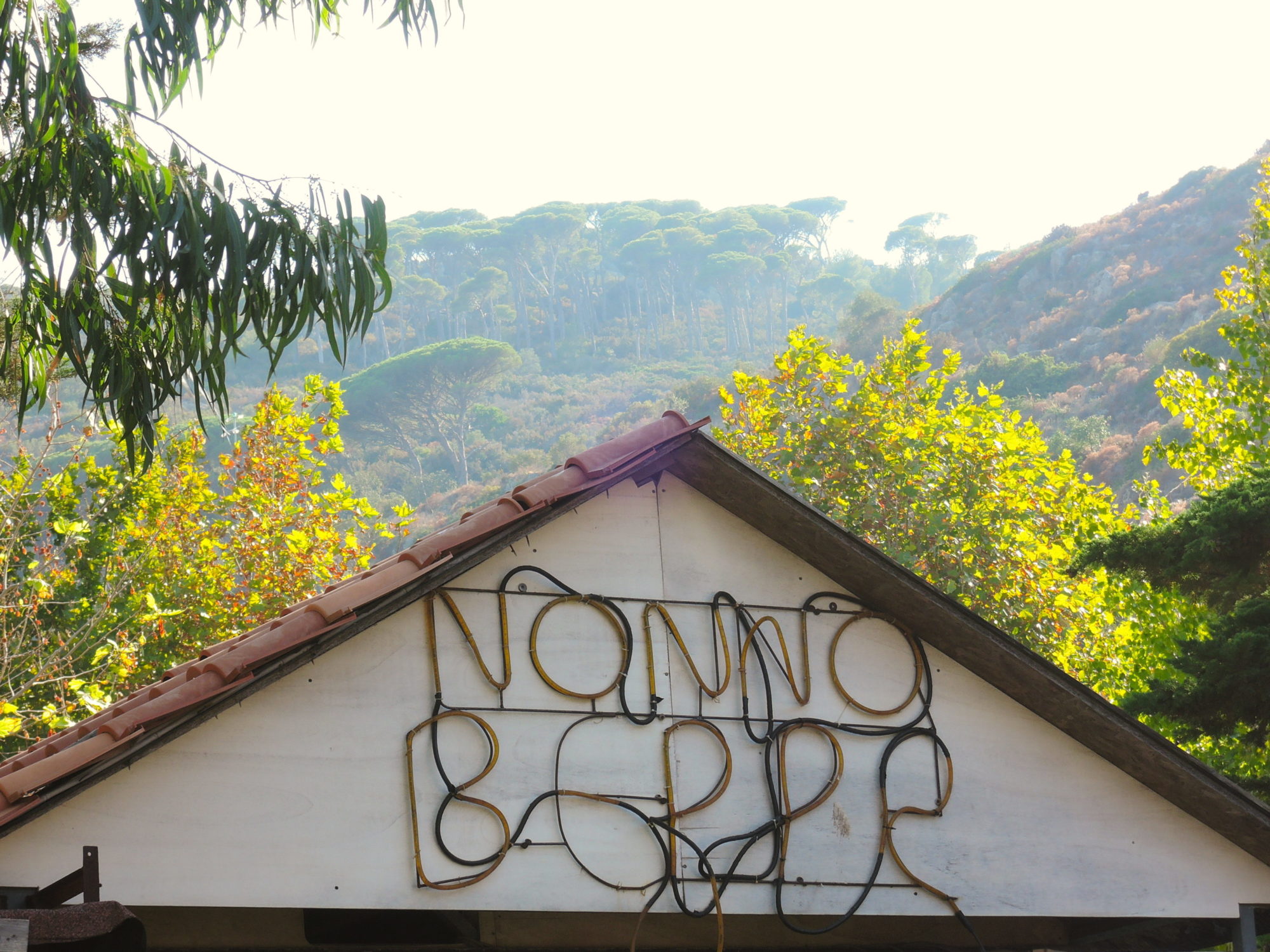
 Enjoy!
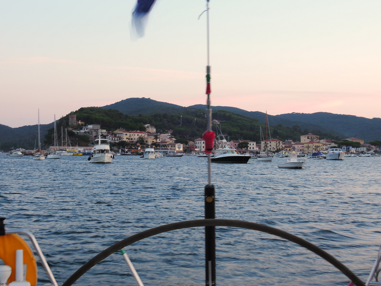
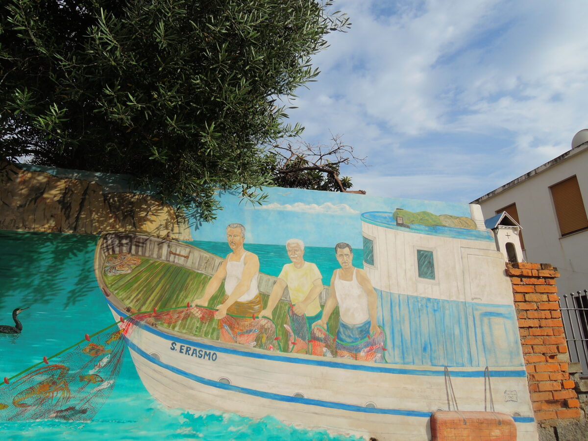
From Capraia we went back to Corsica, first to Erbalunga, on the Northeast side, and a day later to Bastia, where we spent two days visiting the city and its surroundings.
Erbalunga, Corsica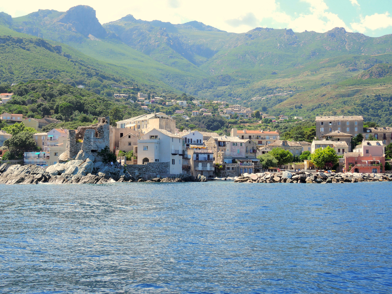 Erbalunga is a small and pittoresque village just South of Cap Sagro. Bigger boats cannot enter the harbour, but it is possible to anchor just South of the village.
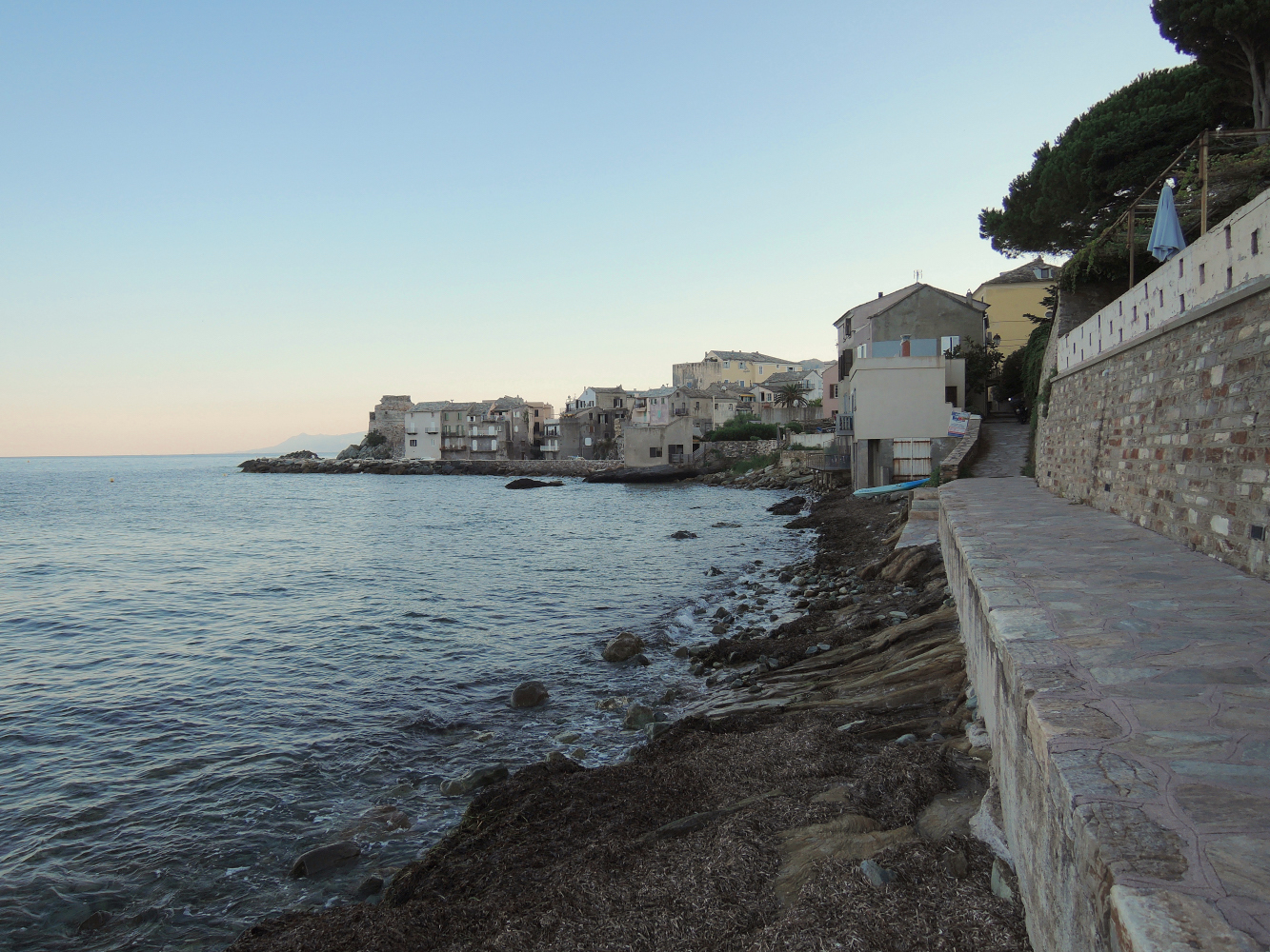
 The harbour by night
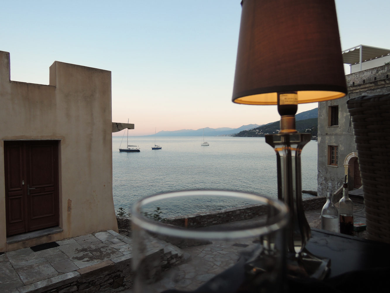 The bay South of Erbalunga, looking towards Bastia
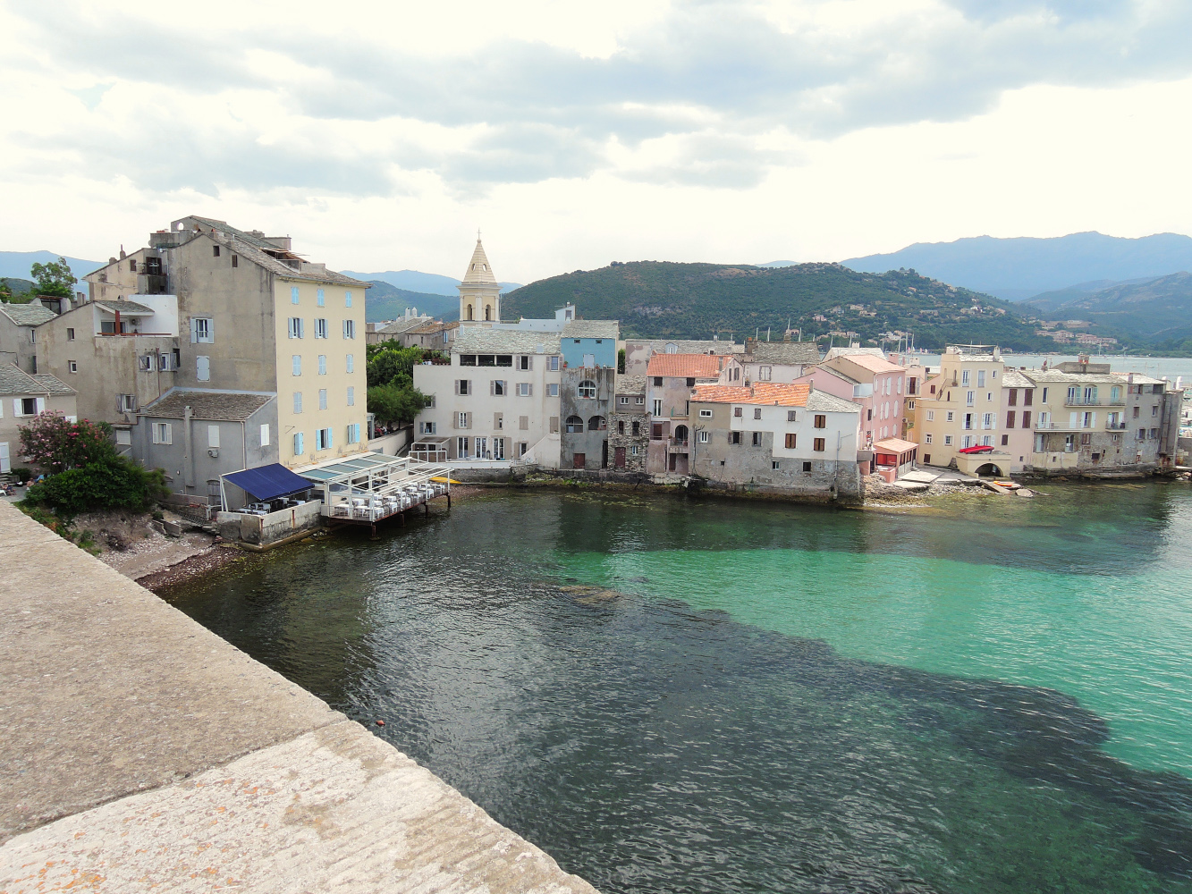
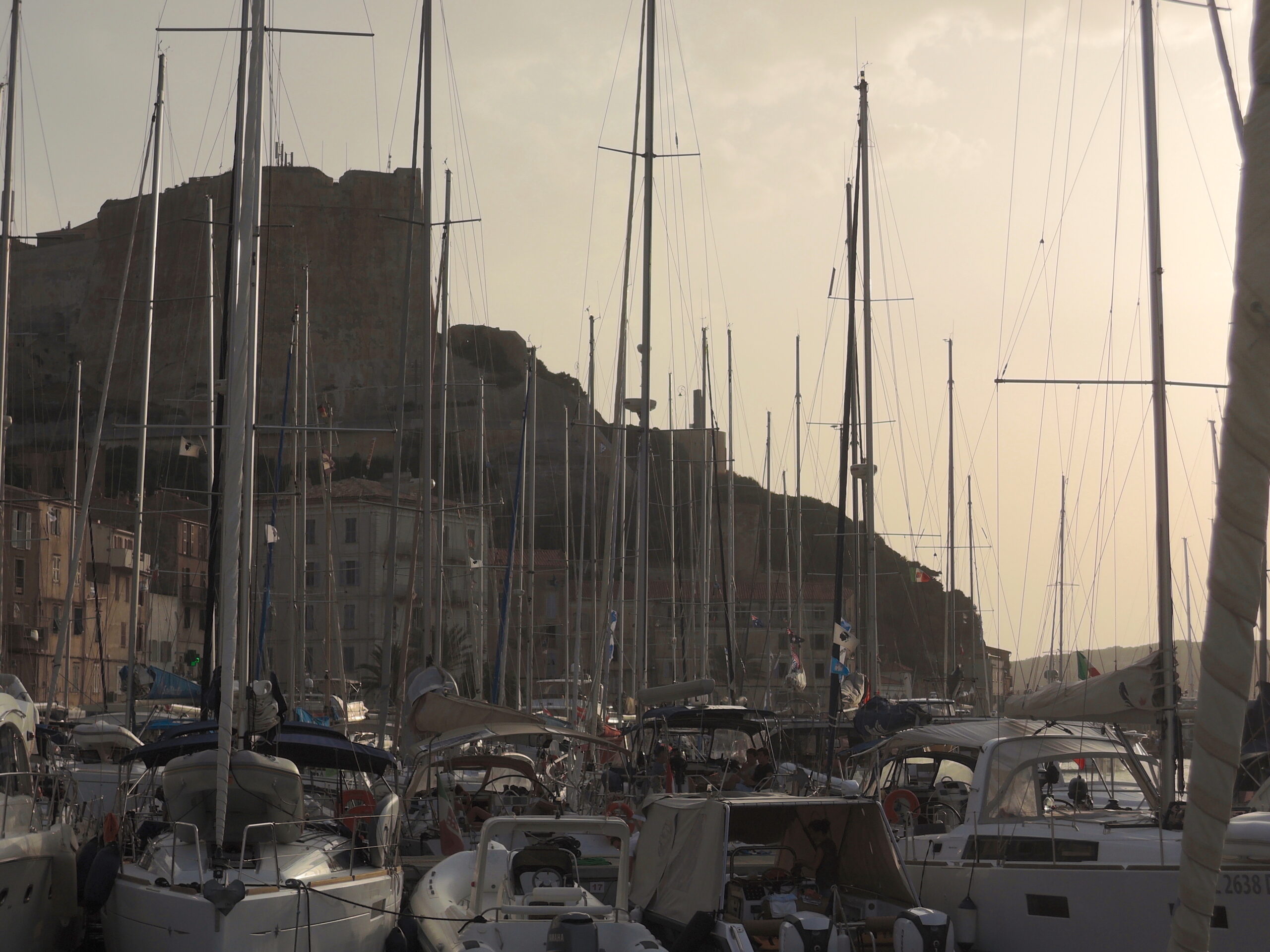
Bastia Vieux Port
We spent some time in Bastia, as a Southern wind came up and the coastline was not suitable to anchor. Shelter overall is good in Bastia. The bassin for guests is in the first bassin, on starboard side (just before the fuel station).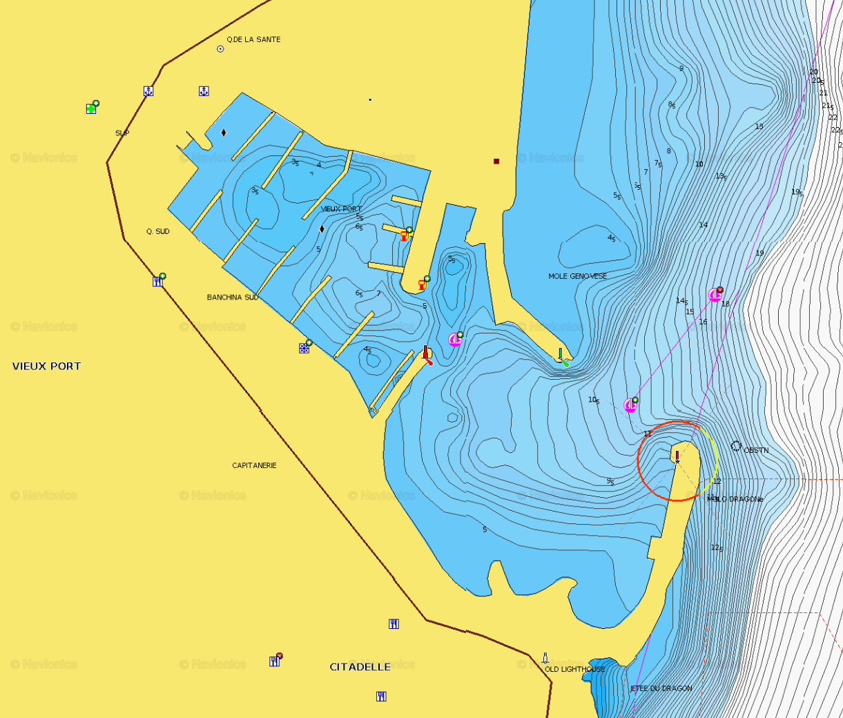
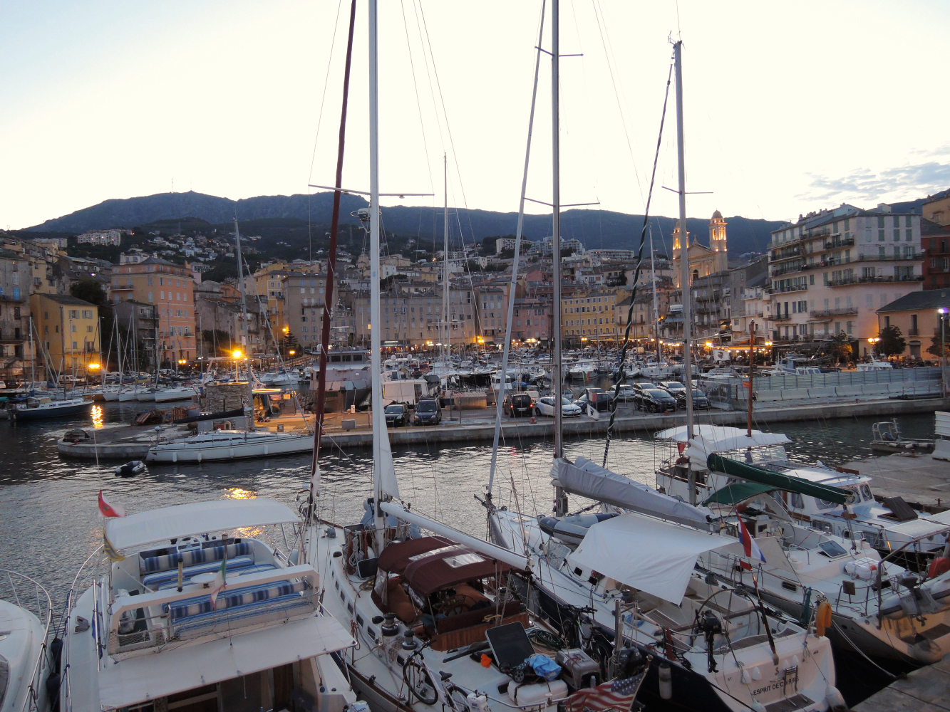 The old harbour is the ‘in’ place to spend your evenings in Bastia, in the many bars and restaurants, or simply promenading along the water front – be sure to walk out along the Quai des Martyrs de la Liberation for the best views of the harbour.
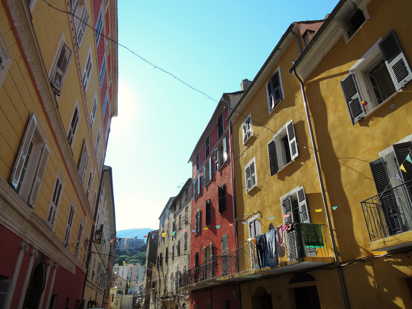 Bastia is a commercial port town (the most important on Corsica) found to the north-east of the island. It is in an impressive location with the hills and Cap Corse behind the town.
The town is now officially classified as a ‘Town of Art and History’ in France.
There are three sections of particular interest to visitors to Bastia: the old town, the citadel, and the old harbour.
It is to the old town that you will be drawn with its faded charm of narrow streets and alleys, where washing still hangs drying from ancient shuttered windows in the tall, often almost crumbling, buildings, dating largely from the 18th century.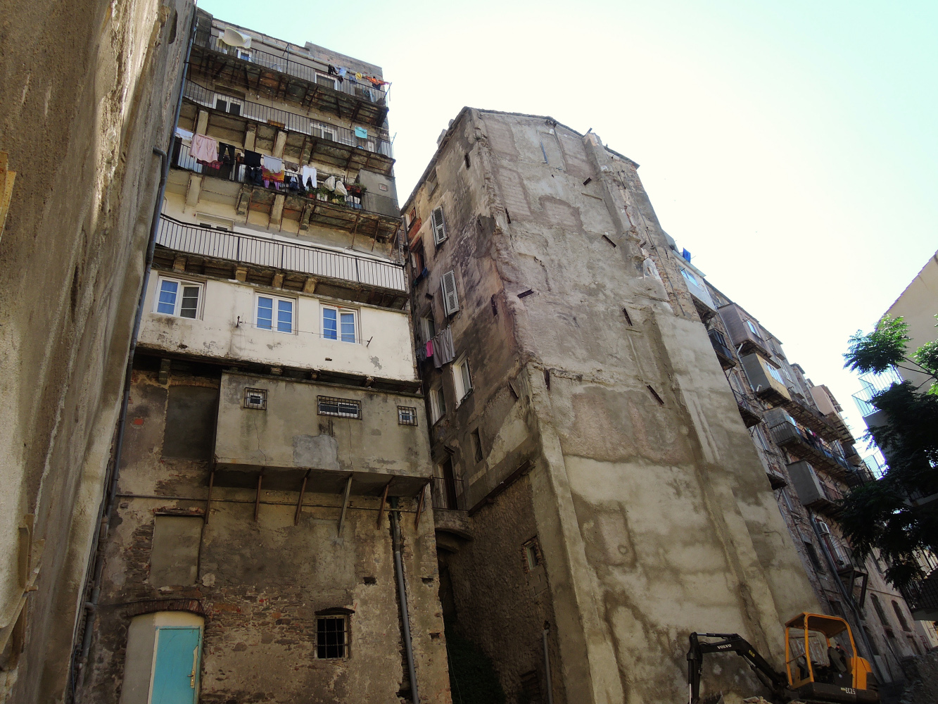
It is the character of this part of Bastia, culminating at the old port, which is the most fascinating aspect of Bastia so allow time to explore rather then rushing from ‘monument to monument’. The town of Bastia used to be a place where fishermen went to sea, the ancient fishermen came from the mountains, a small village called Cardo.
We decided to make a trip by bus to this small village the next day. On the way back we walked downhill, back to Bastia.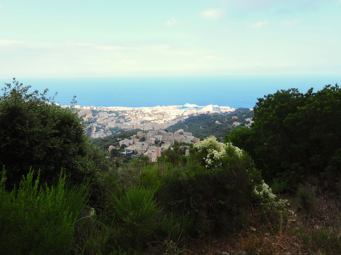 Cardo (and Bastia in the background) a walk in the hills looking for the ice storage in the mountains (we did not find them by the way…)
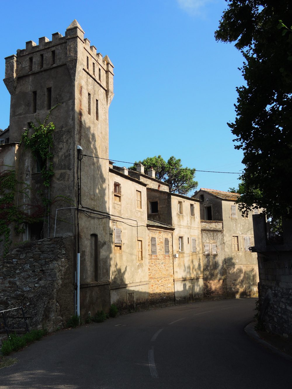
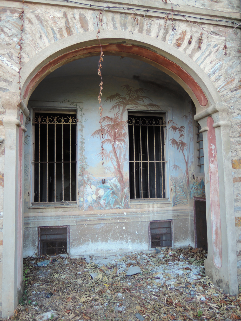
On our walk downhill we discovered a nice (abandoned) site.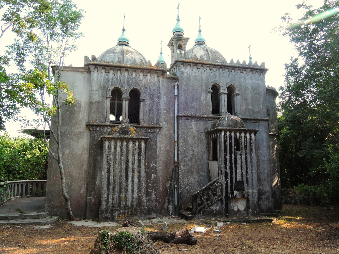
 The next day the weather settled for our trip to Elba…
Elba
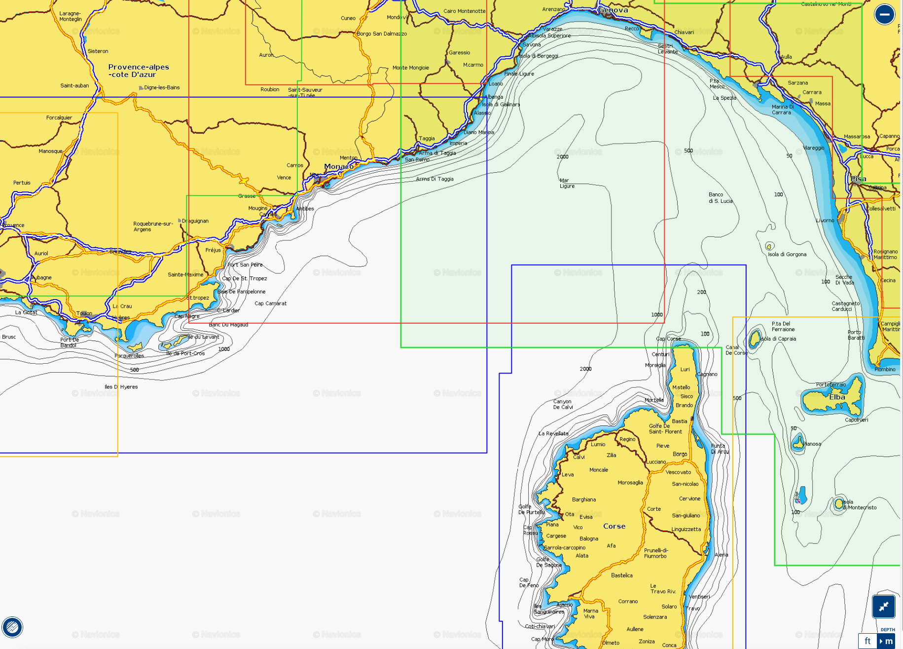
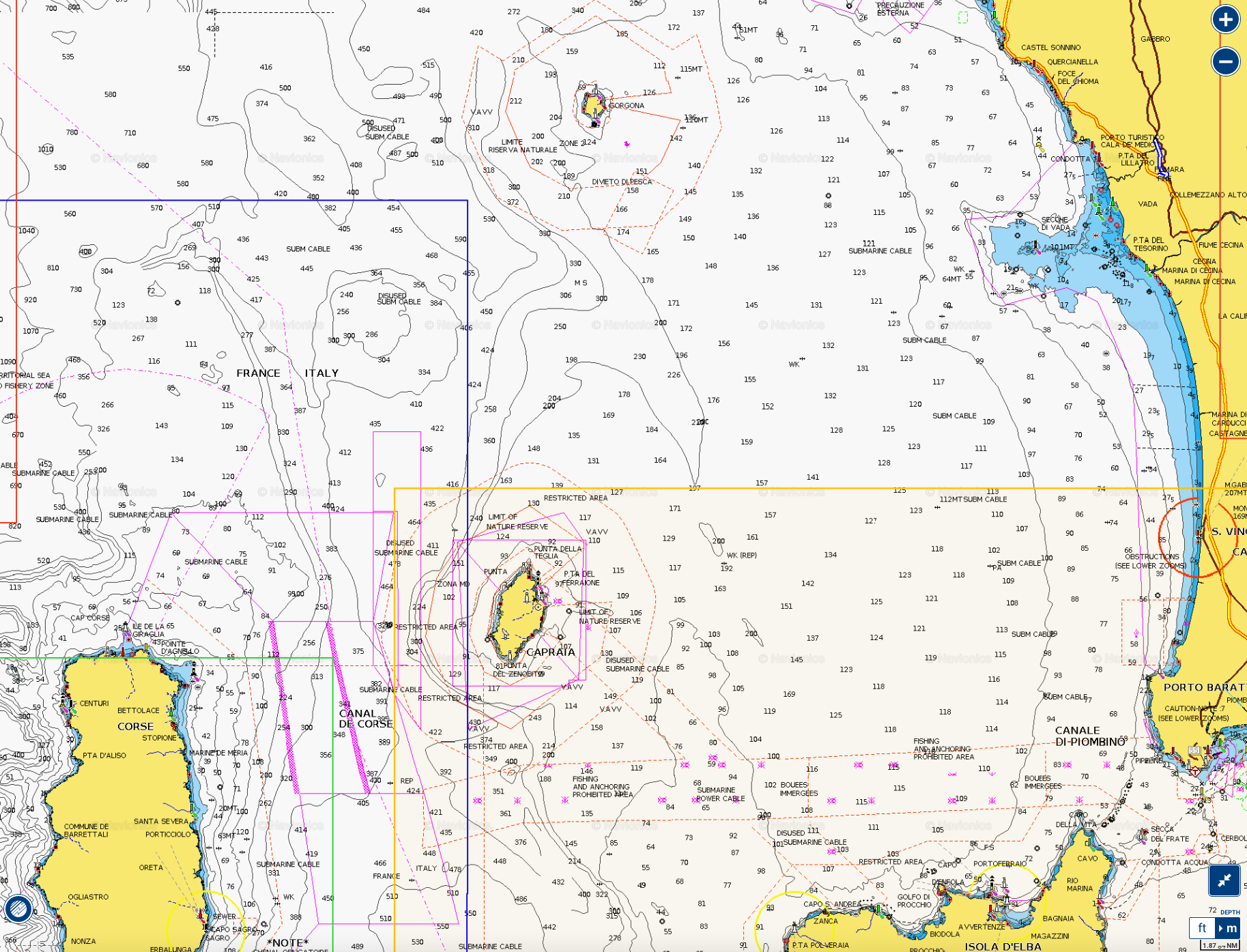
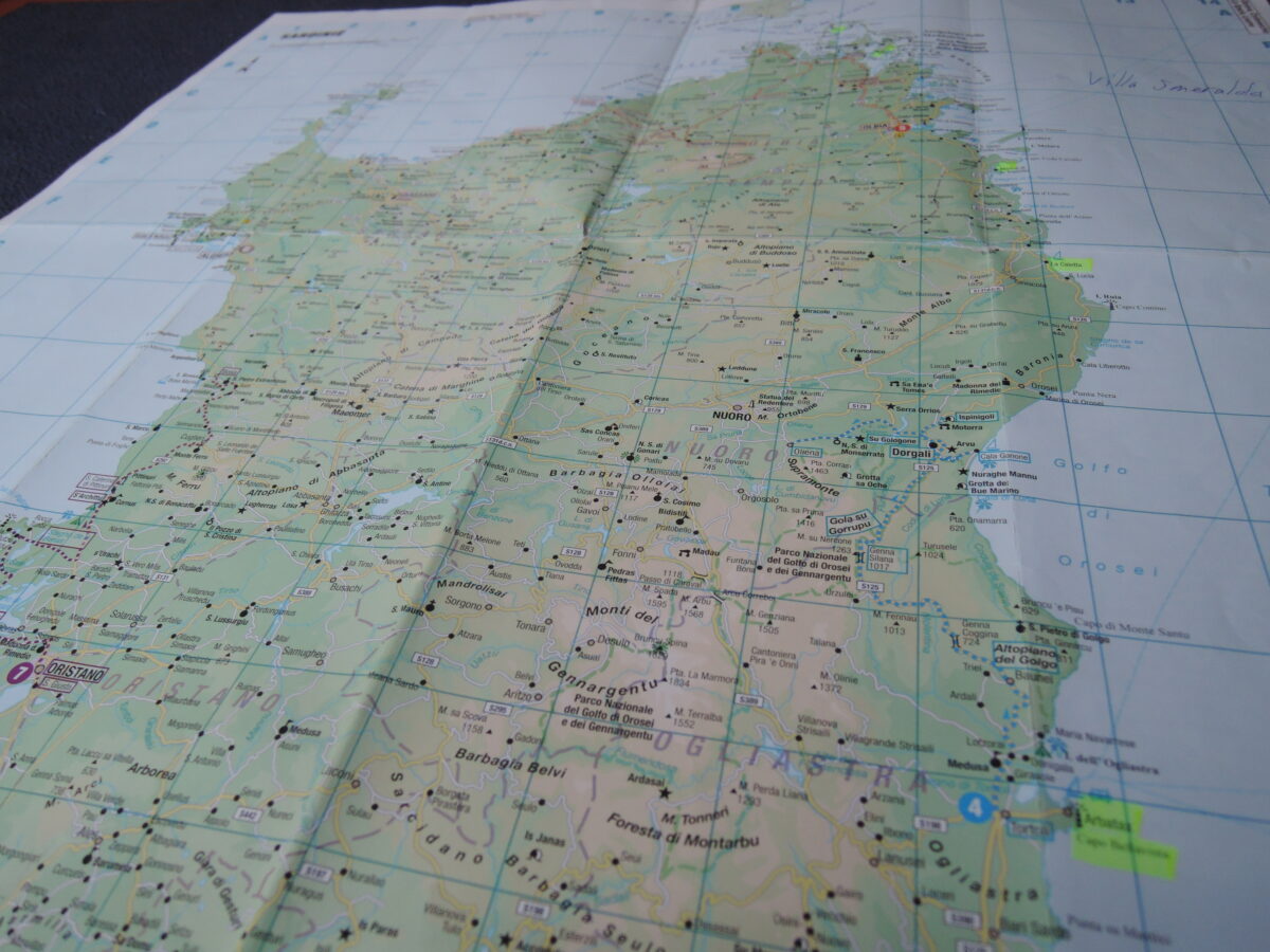
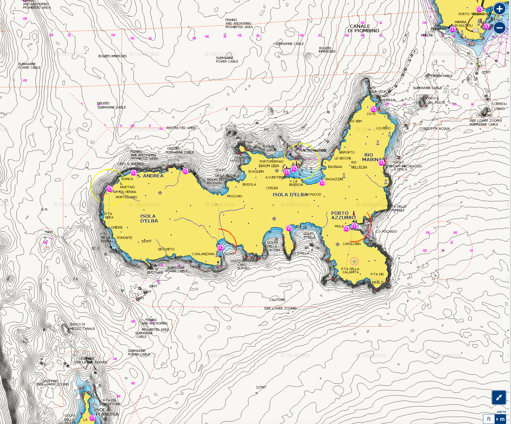 Elba nautical chart, (not for navigational use)
 Elba seen from the West
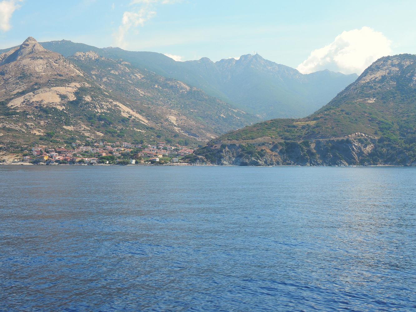
Elba is the biggest island of the Tuscan Archipelago and the third largest in Italy after Sardinia and Sicily. Elba is the largest remaining stretch of land from the ancient tract that once connected the Italian peninsula to Corsica. Elba lies six miles from the mainland (Piombino).
The northern coast faces the Ligurian Sea, the eastern coast the Piombino Channel, the southern coast the Tyrrhenian Sea, and the Corsica Channel divides the western tip of the island from neighbouring Corsica. Together with eight other islands, including Giglio, Giannutri and Montecristo, it is part of the National Park of the Tuscan Archipelago, the largest marine park in Europe.
The island of Elba is famous around the world for harboring French Emperor Napoleon in 1814 during his exile. But its history goes back to prehistory, with the Ilvati tribe from Liguria who named the island Ilva. It was then inhabited first by the Etruscans and later by the Romans, who really appreciated the island and its rich deposits of iron and its mud baths.
We spent some time on the Southern side of the Island, as in 2017 we had been on the Northern side.
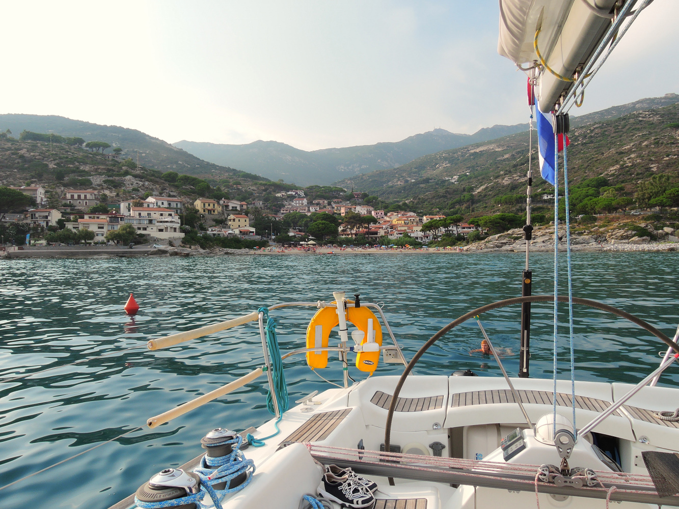 Seccheto Elba, anchorage in front of the small village, in the background Mount Capanne
The top of Mount Capanne is well worth a visit for its beautiful panorama (360 °) over the whole Elba and the Tuscan Archipelago.
Do this during a clear day, preferably starting early in the morning when there is less haze which can limit a little visibility in summer.
To reach the top of Mount Capanne, you can do it by foot along a path that crosses a thick forest of chestnut trees, overcoming the ancient Eremo della Madonna del Monte until the top of the Mount in about three hours walk.
If this is not your thing you can take the gondola which is to be found between the villages of Poggio and Marciana which will take you to the top of the Tuscan Archipelago in twenty minutes. At the arrival’s station on the top of Mount Capanne there is a retreat with a bar.
When the weather is nice and clear it is possible to see the near islands of Pianosa, Capraia, Montecristo, Gorgona and Corsica. Besides, if you are lucky you will be able to see herds of wild sheep and wild boars that inhabit this area.
Hiking on Mount Capanne is certainly a valuable alternative to the sea and the beach; its views will remain in the heart and you will enjoy all the beauty of the island from above.
By boat the best starting point is Marciana Marina, as the gondole leaves from Marciana, not too far.
 Golfo di Campo and Marina di Campo
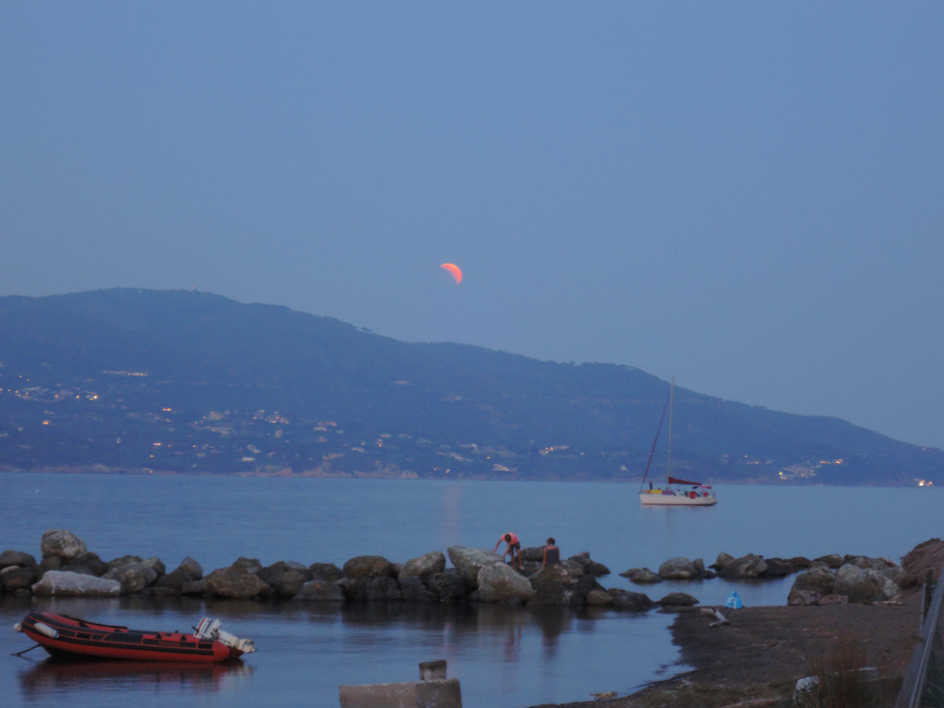 Golfo Stella with lunar eclipse
 Golfo della Lacona
 Esprit de Corps anchoring in Golfo della Lacona
What really makes Elba famous and renowned are its clear and blue sea and beautiful beaches. The extraordinary richness of its landscapes, both land and marine, turns the island of Elba into a unique destination in Tuscany. We can say that is a heaven on earth, with nothing to envy of more exotic Caribbean destinations.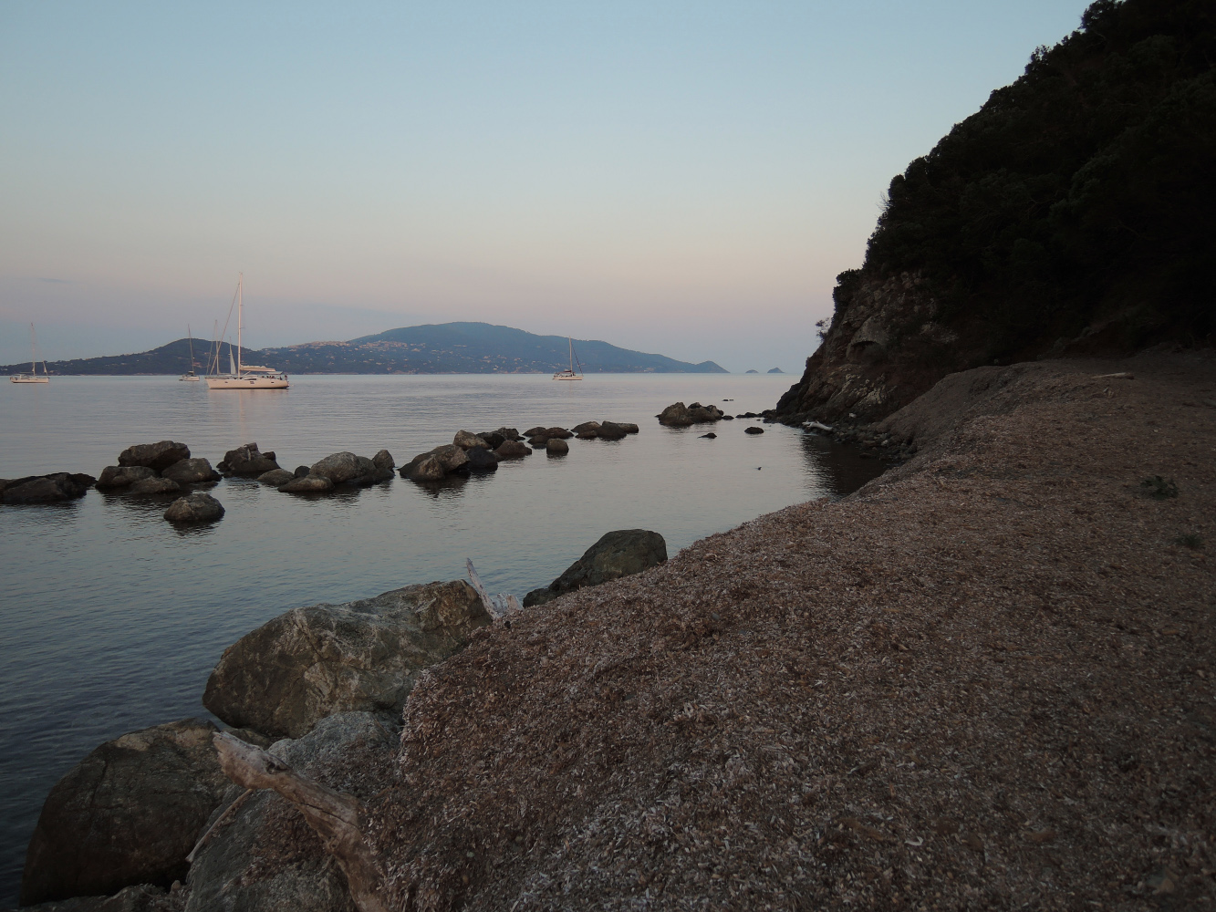
In addition, Elba is the perfect place for outdoor sports and activities. Among the most appreciated sports, there is diving and snorkeling, thanks to its rich seabeds housing lots of different species of fish. But outdoors lovers can also enjoy spending time on land hiking and mountain biking, enjoying a round of golf, a day of sailing or enjoying days of complete relaxation at the thermal baths of San Giovanni.
The island itself is made up of slices of rocks which once formed part of the ancient Tethyan seafloor. These rocks have been through at least two orogenies, the Alpine orogeny and the Apennine orogeny. The second of these two events was associated with subduction of the Tethyan oceanic crust underneath Italy and the obduction of parts of the ancient seafloor onto the continents. Later extension within the stretched inner part of the Apennine mountains caused adiabatic melting and the intrusion of the Mount Capanne and the La Serra-Porto Azzuro granitoids. These igneous bodies brought with them skarn fluids which dissolved and replaced some of the carbonate units, precipitating iron-rich minerals in their place. One of the iron-rich minerals, ilvaite, was first identified on the island and takes its name from the Latin word for Elba. More recently, high-angle faults formed within the tectonic pile, allowing for the migration of iron-rich fluids through the crust. The deposits left behind by these fluids formed the island’s rich seams of iron ore.
The terrain is quite varied, and is thus divided into several areas based on geomorphology. The mountainous and most recent part of the island can be found to the west, the centre of which is dominated by Mount Capanne (1,018 metres/3,340 ft), also called the “roof of the Tuscan Archipelago”. The mountain is home to many animal species including the mouflon and wild boar, two species that flourish despite the continuous influx of tourists. The central part of the island is a mostly flat section with the width being reduced to just four kilometres (2.5 miles). It is where the major centres can be found: Portoferraio, Campo nell’Elba. To the east is the oldest part of the island, formed over 3 million years ago. In the hilly area, dominated by Monte Calamita, are the deposits of iron that made Elba famous.
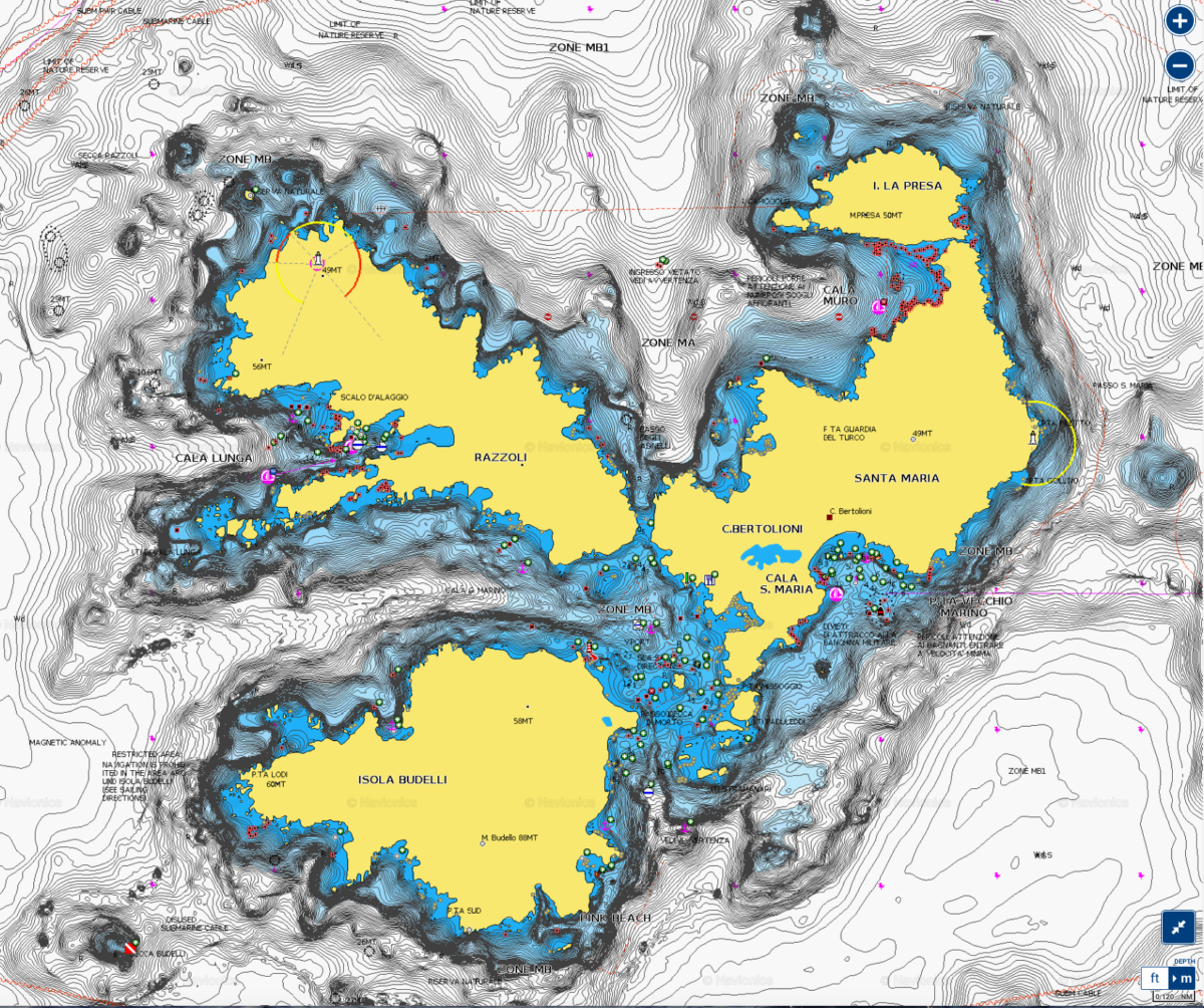
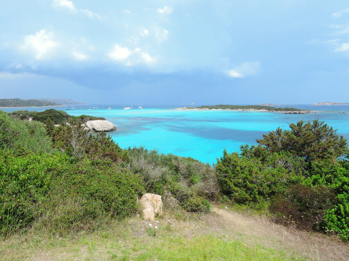
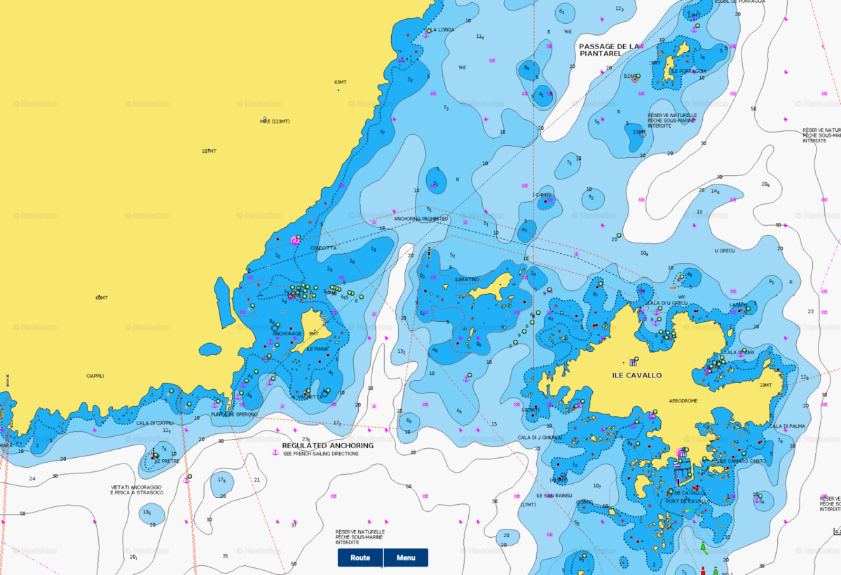
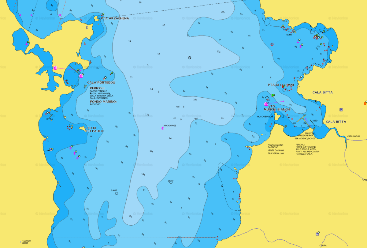
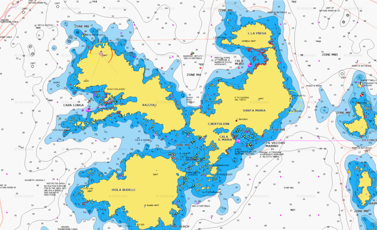
Maddalena Archipelago
The ‘Maddalena Archipelago’ is a group of islands in the Strait of Bonifacio between Corsica (France) and north-eastern Sardinia (Italy).
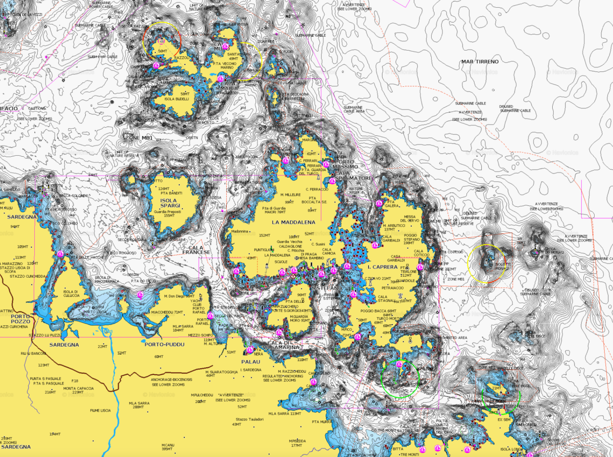
The archipelago consists of seven main islands and numerous small islets. The largest one is the island of La Maddalena (Italian: Isola La Maddalena), with an homonymous town of La Maddalena, which is the largest settlement at the archipelago. The other six islands, in order of size, are: Caprera, Spargi, Santo Stefano, Santa Maria, Budelli and Razzoli.
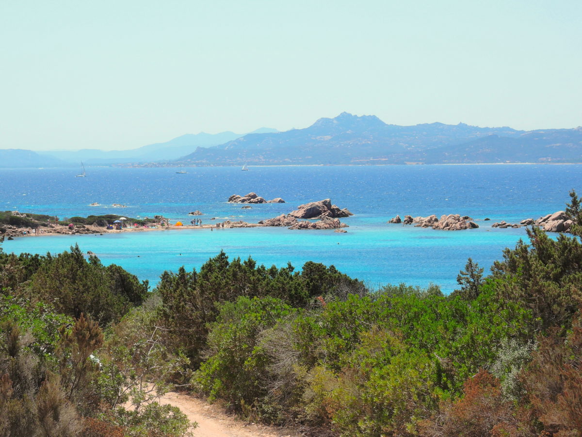
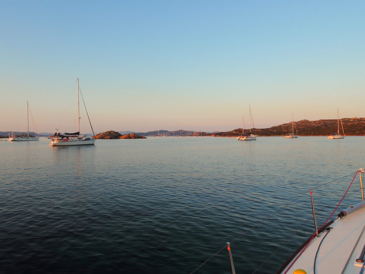
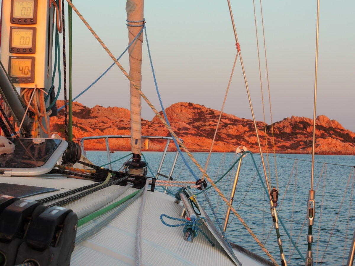
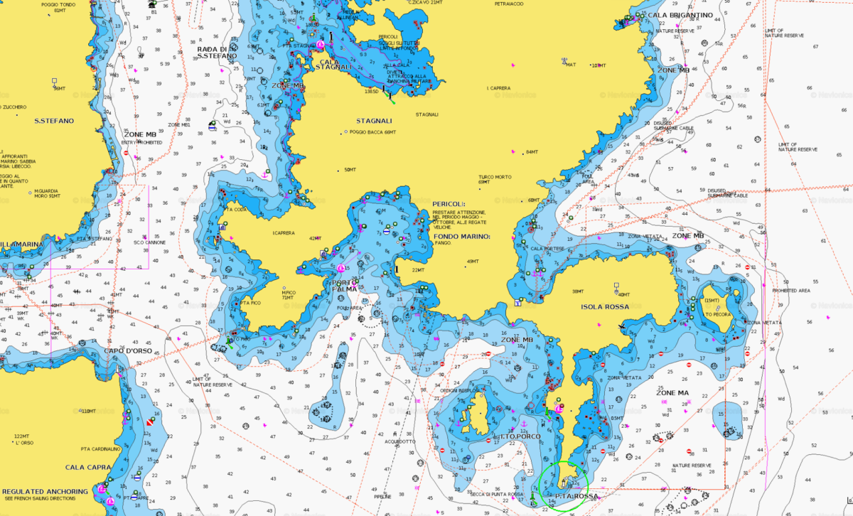
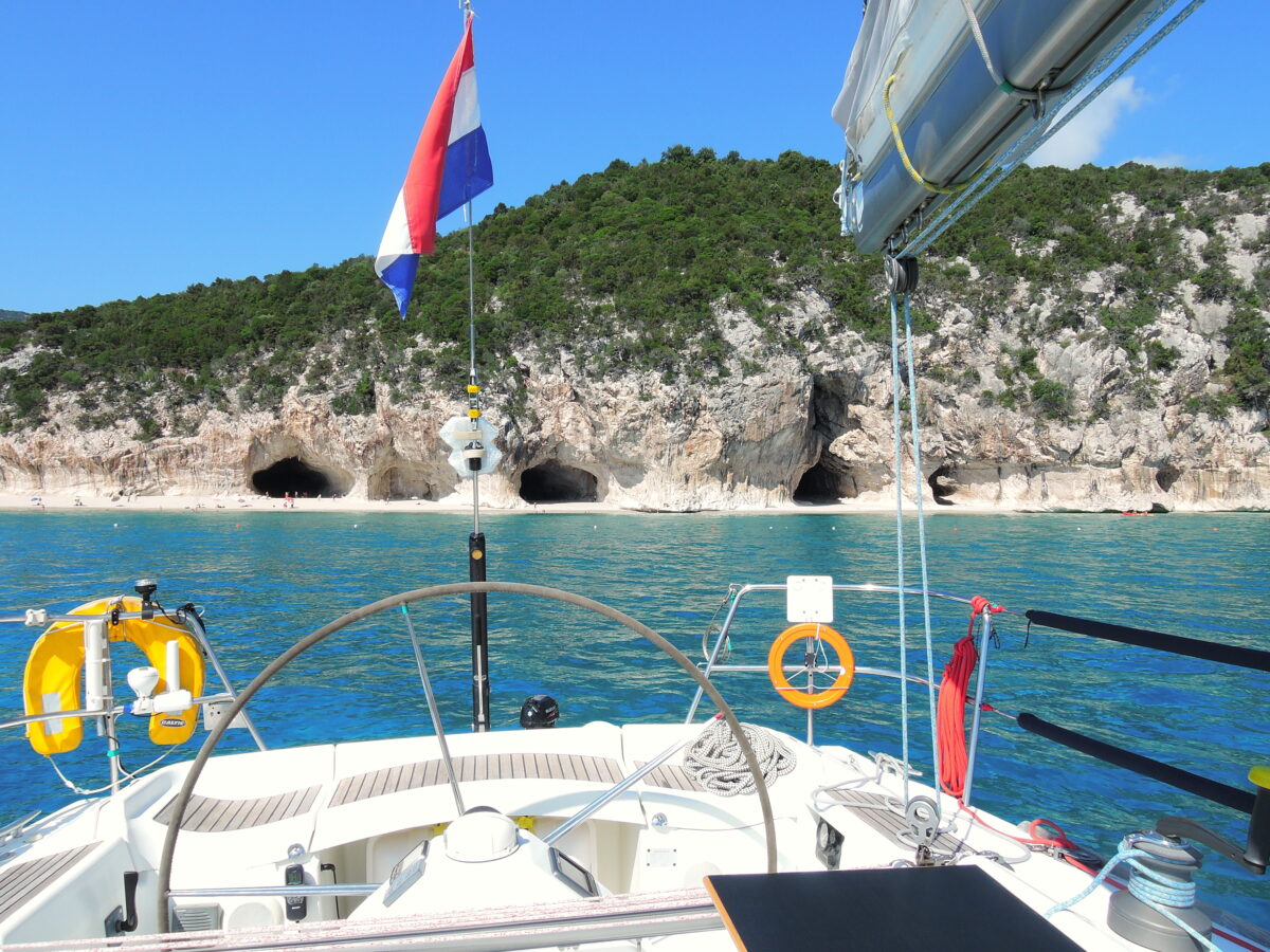
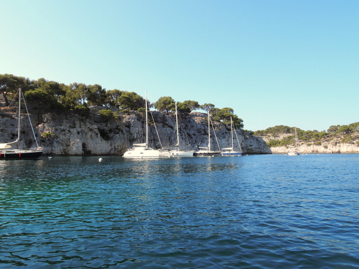
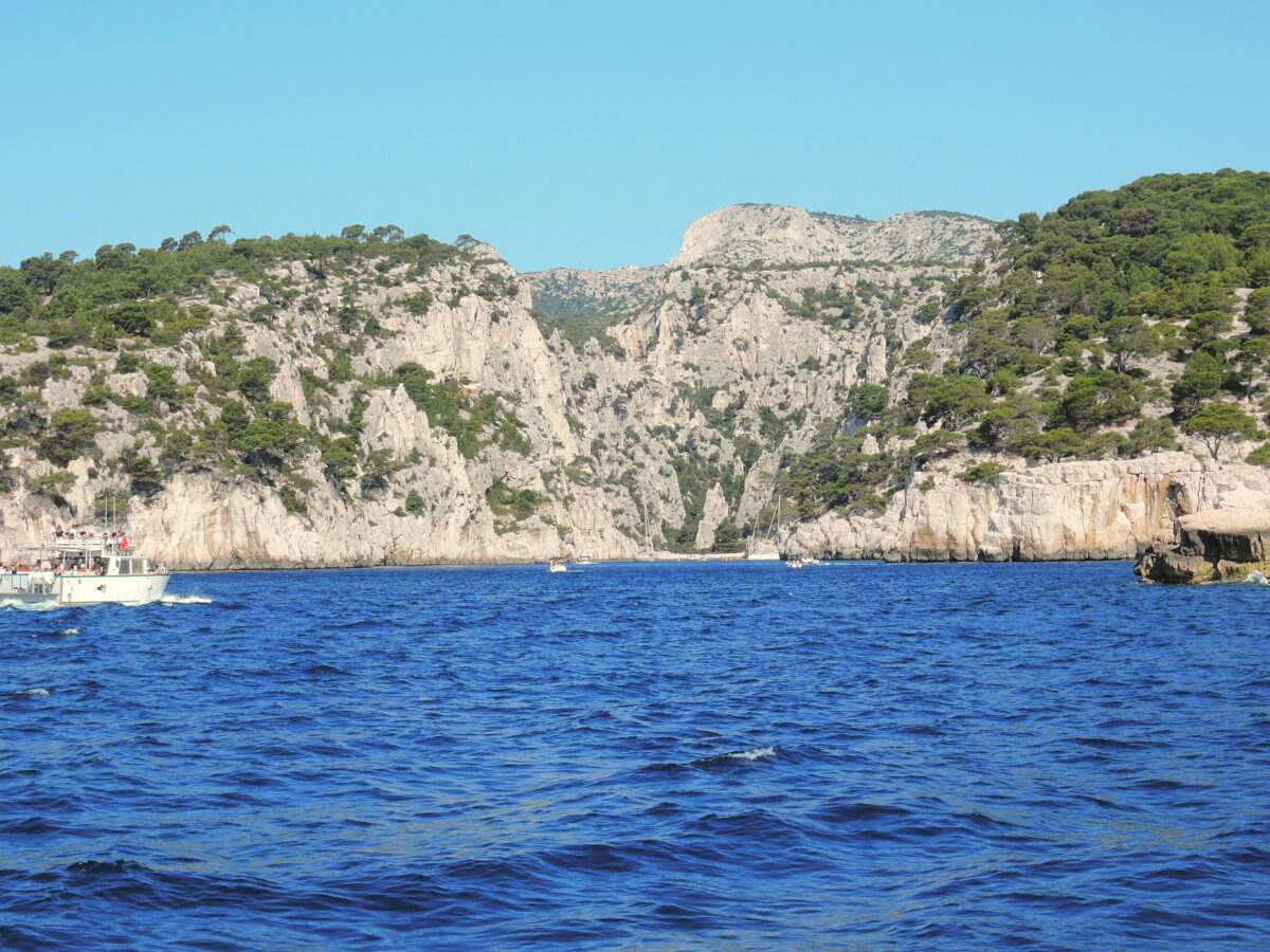
Only Maddalena, Caprera and Santo Stefano are inhabited. We sailed along the South Cost of Corsica and spent about a week on several islands. The area can be quite windy, so it is important to look for favourable weather, as the wind is sqeezed betwwen Corsica and Sardegna, it increases in speed. The Islands are situated at the Eastern side of the channel, in case of more wind, some of the anchoring spots are quite ‘open’…
In most of the world, small islands characterized by a favorable climate have lately suffered a deep transformation because of tourism, which caused the deterioration of the natural ecosystems into semi-natural or markedly artificial ecosystems. Despite this general trend, La Maddalena Archipelago – except for the main island, housing an important town – has preserved its natural features both in a terrestrial context (Spargi, Budelli, Razzoli, Spargiotto, Barrettini, Mortorio, and Nibani) and, above all, in the sea context and represents a positive example of safeguard of the coastal system extending for over 180 km. Besides La Maddalena Island, where you will find the homonymous town, Stagnali settlement in Caprera, and about 20 houses in a limited area of Santa Maria inhabited only during the summer, the Archipelago is entirely deserted and has preserved the aspect of over two centuries ago
In 2006 it was placed on the tentative list for consideration as a World Heritage Site by UNESCO.
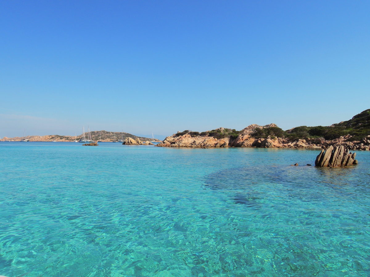
La Maddalena Archipelago consists of a multitude of islands, islets, and rocks shaped by the strong northwest wind and by the current of the Strait. The inlets and bays of its islands give origin to a myriad of natural landing stages and mix with the colors of the sea and the crystal-clear waters for which the Archipelago is famous all over the world (not only for the Pink Beach of Budelli, protected by strong safeguard restrictions not allowing the access to the beach and the stretch of water in front of it, representing without a doubt one the cause of pride of the Archipelago and the Park).
The adoption of the establishment measures has been integrated – according to what established by the protected area framework act for the special statute regions – by an agreement between State and Regione Sardegna including significant safeguard and enhancement measures involving the local population and, at the same time, enabling the use of the environmental and historical-cultural resources, maintaining the usage and life style of the people living in Archipelago. The protected area is the first National Park of Sardinia and the one and only Park in Italy whose territory lies in one Municipality only. The National Park includes the whole marine area of La Maddalena Archipelago, as well as the terrestrial area.
La Maddalena Archipelago National Park, together with the Tuscan Archipelago National Park, is currently one of the two Italian National Parks maintaining, among their establishment rules, both a terrestrial surface area – in the case of the Sardinian protected area covering 5,100 ha – and a marine area of about 15,000 ha. La Maddalena Archipelago National Park also represents a significant part of the territory of the Italian State and of Sardinia that will become part of the future International Marine Park of the Strait of Bonifacio, for the establishment of which the Park Authority has been collaborating for ten years with the bodies in charge of environmental safeguard, obtaining important results in the latest two years.
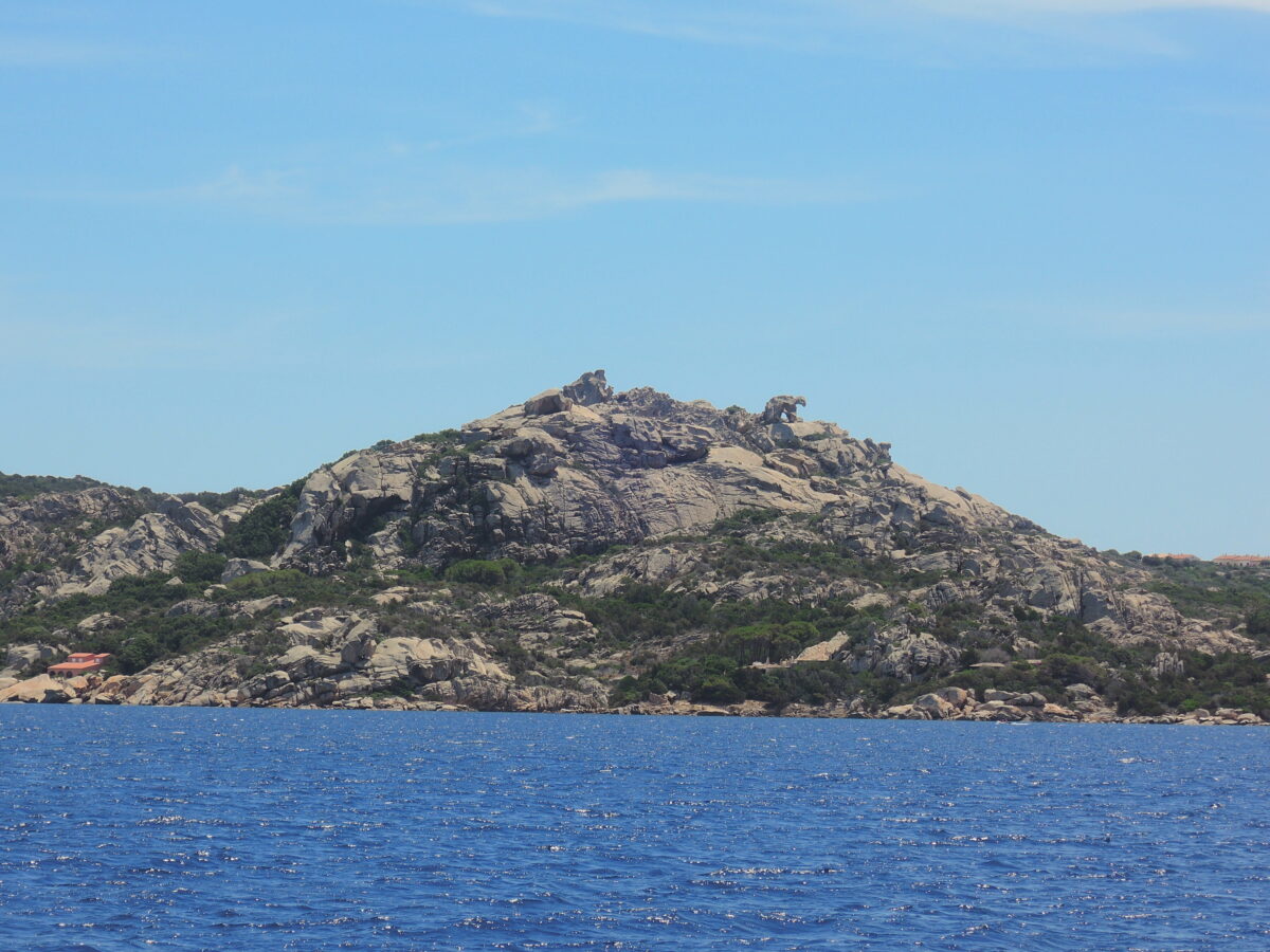
Lying adjacent to the tourist resort of the Costa Smeralda, Maddalena has the same clear waters and wind blown granite coastlines but remains a haven for wildlife. It is a designated national park, the Parco Nazionale Arcipelago di La Maddalena. It is a popular tourist destination especially among boaters.
Info for boaters
Within the Park area, yachting, sports fishing, diving, and economic activities linked to the sea are allowed by previous issue of specific authorizations only. These can be issued for free or on payment of a sum of money. The income deriving from the authorization issue is one of the most important self-financing sources for the Park Authority. Thanks to this income, the Park can guarantee the regular implementation of its own establishment mission through promotion, environmental education and sensitization activities, as well as control the access to the waters of the Archipelago. Moreover, thanks to it, the Park can sponsor researches and useful facilities offered to visitors, like for instance:
- the placement of free buoy fields
- the safety of the water stretches for swimming
- the recovery of situation of environmental degradation and the delimitation of some dune systems
- the monitoring of the dolphin population living in the Archipelago
- the opening of musem structures in the premises of the CEA, the Environmental Education Center in Stagnali, in the island of Caprera
- the management of the “doggie beach” in the island of Caprera, one of the few beaches for dogs in Sardinia.
For non-residents, the yachting and scuba diving authorizations are issued on payment.
As a matter of fact, one of the main goals of Arcipelago di La Maddalena National Park is to correctly inform the public about the activities allowed in the protected area; therefore, with the authorization issued by the Park Authority and the brochures we will hand in with it, we would like to share with visitors the great fragility of this natural place declared Site of Community Importance (SCI) and Special Protection Area (SPA), a precious site for the presence of rare and protected animal species and vegetation, in some cases unique in the Mediterranean.
Yachting with no permit required before entering the marine area of the Park represents a violation of the rules in force; in this case, the sum of money to be paid for the permit issue at sea after regular control by the personnel will be increased of the 40%. It is therefore recommended to all boaters to straighten out their position according to the above-mentioned methods.
Payment / authorization issue methods for yachting and diving activities
Authorizations for yachting and diving activities may be obtained as follows:
- With an online payment by Credit Card (If you click on this link, it will lead you to the permits issue platform linked to the Paypal safe payment system: it is possible to obtain an online permit also with reduced fees reserved for specific categories).
- In one of the 18 Authorized Offices (harbors, agencies, etc.) in the territory of the Municipalities of La Maddalena, Palau, Arzachena, Olbia, Alghero.
- At the Park Authority URP Office (Citizens Information Office) in via Giulio Cesare 7 in La Maddalena, where free permits are issued (not available elsewhere). In this case, please contact the offices in advance by calling the number
(+39) 0789 790224 and prepare all the required documents.
Flora
The main vegetable formations are characteristic of the Mediterranean coastal strip: therefore, you will find a maquis dominated by juniper, strawberry tree, phillyrea, lentisk, myrtle, heather, broom, rockrose, and euphorbia; towards the coast, the vegetation slopes down from the lowest maquis to the garrigue where, among the most characteristic phytocenoses, it is necessary to mention the halophilous formations. The sandy areas and the more or less salty areas welcome Mediterranean saltbush formations, formations characterized by plants growing on salty environments, and psammophilous vegetation. The vegetation landscape of the islands is deeply influenced by factors like wind, sun exposure, dryness and poverty of the soils, altitude, and distance from the mainland. In La Maddalena Archipelago, the presence of exclusive or rare endemic species has give origin to unique or rare vegetable formations, or to vegetable formations that, even if more common, are well represented in conditions of greatest evolution, like in the case of the low formations of Artemisia densiflora in Razzoli and the juniper formations dominated by Juniperus phoenicea in Spargi, Caprera, Budelli, Santa Maria, and La Maddalena; the extension and the relative preservation state of these formations has not been found anywhere else in the Mediterranean area.
Fauna
La Maddalena Archipelago is one of the most important areas for the vertebrate fauna (Amphibians, Reptiles, Birds, Mammals) and especially for the nesting marine birds. According to the survey started by the National Park, the system of small islands between Sardinia and Corsica also represents an important stop for the trans-Saharan migratory birds in their pre-reproductive passage. The vertebrate fauna of La Maddalena Archipelago is a representative sample of the central-western Mediterranean community, both for its terrestrial and for its marine species.
Although it is not possible to talk about a site of unique value, it is necessary to highlight its global importance for some species of marine birds nesting in the Archipelago like the Audouin’s Gull (Larus audouinii), the one and only endemic seagull species of the Mediterranean; and the Mediterranean subspecies of the European Shag (Phalacrocorax aristotelis desmarestii) whose populations in the area represent respectively the 1% and 3% of the global population.
The islands have been inhabited since prehistoric times. They were known by the Romans as Cunicularia and were a busy shipping area during the 2nd and 1st centuries BC. The Maddalenas have a strategic value and were the object of a dispute between the maritime republics of Pisa and Genoa in the 13th century and subsequently were abandoned for a long period before being colonised again by Corsican shepherds and by Sardinian settlements in the 18th century. Napoleon Bonaparte, Admiral Nelson and Giuseppe Garibaldi all have historical links with the area.
The main access into and out of the archipelago is via the frequent car ferries from Palau on Sardinia that run into La Maddalena. There are roads only on Maddalena and Caprera.
The S. Stefano island NATO naval base which housed US nuclear submarines, closed in 2008. Controversy arose in 2003 when the USS Hartford ran aground while on maneuvers in the area.
Caprera
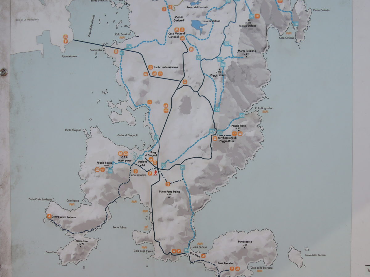
Caprera Island represents one of the most important islands in Italy if we consider both its ecological-environmental features and its historical-cultural features. The aim of the project Garibaldi Farmer (“Garibaldi Agricoltore”) is to make “re-emerge” from oblivion the signs witnessing the life on the island in the agricultural holding created by General Giuseppe Garibaldi, through the creation of a museum route and the relative historical-landscape reorganization. During his stay in the island (1855-1882), the hero created, between the areas known as “Tola” and “Funtanaccia”, a real agricultural holding – modeled after the South American “fazenda” – transforming bare and barren lands into vineyards and orchards. These activities, covered by his most famous deeds, preserve a great deal of knowledge on the character of Garibaldi and represent at the same time an extraordinary cultural heritage deserving to be enhanced and rediscovered.
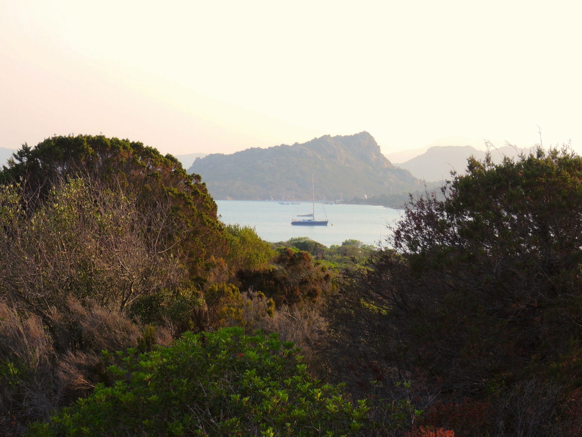
From Maddalena we sailed along the East cost of Corsica and made stops at Solenzara, Elba and Capraia. From Capraia we sailed to the Northwestern side of Corsica before we made the trip back West to the Languedoc.
 GIrolata a wel sheltered harbouw with moorings
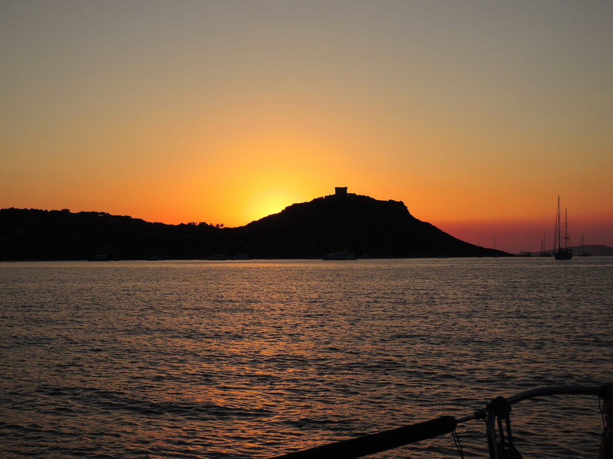

SARDEGNA
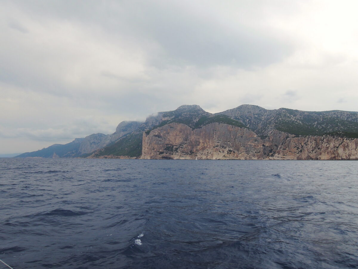
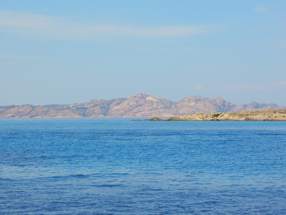
In 2019 From Bonifacio we sailed South, to Maddalena and than along the East coast of Sardegna
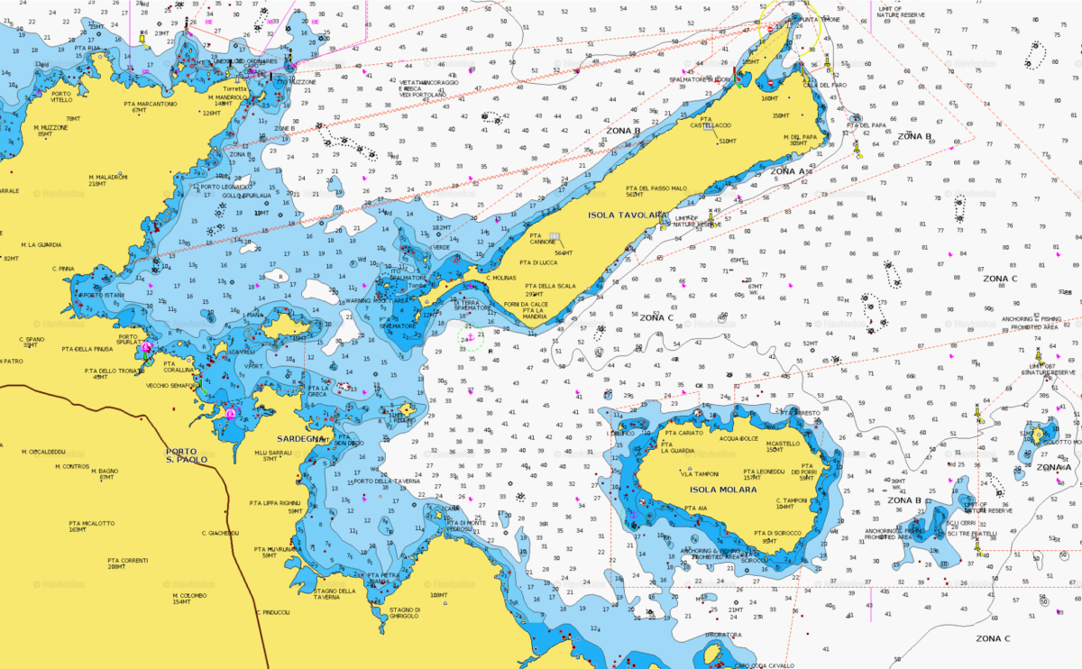
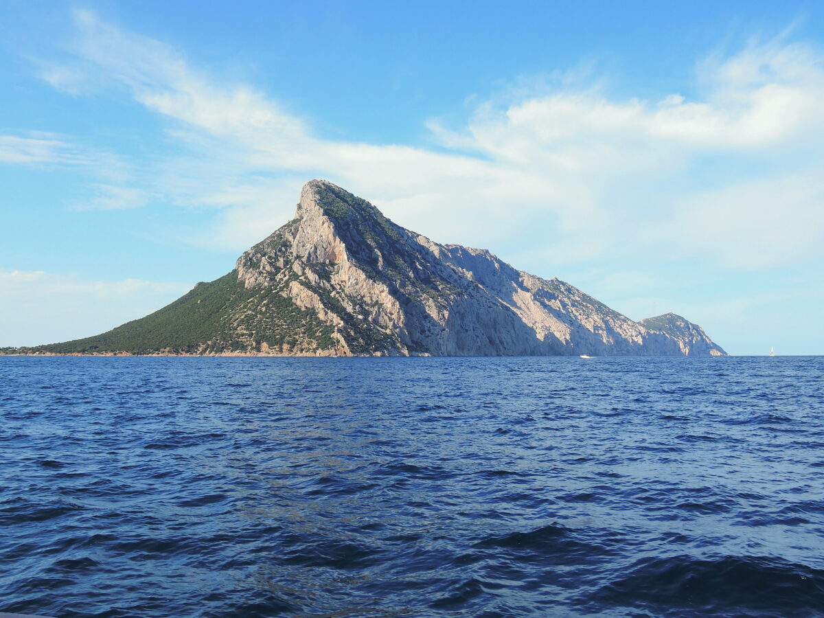
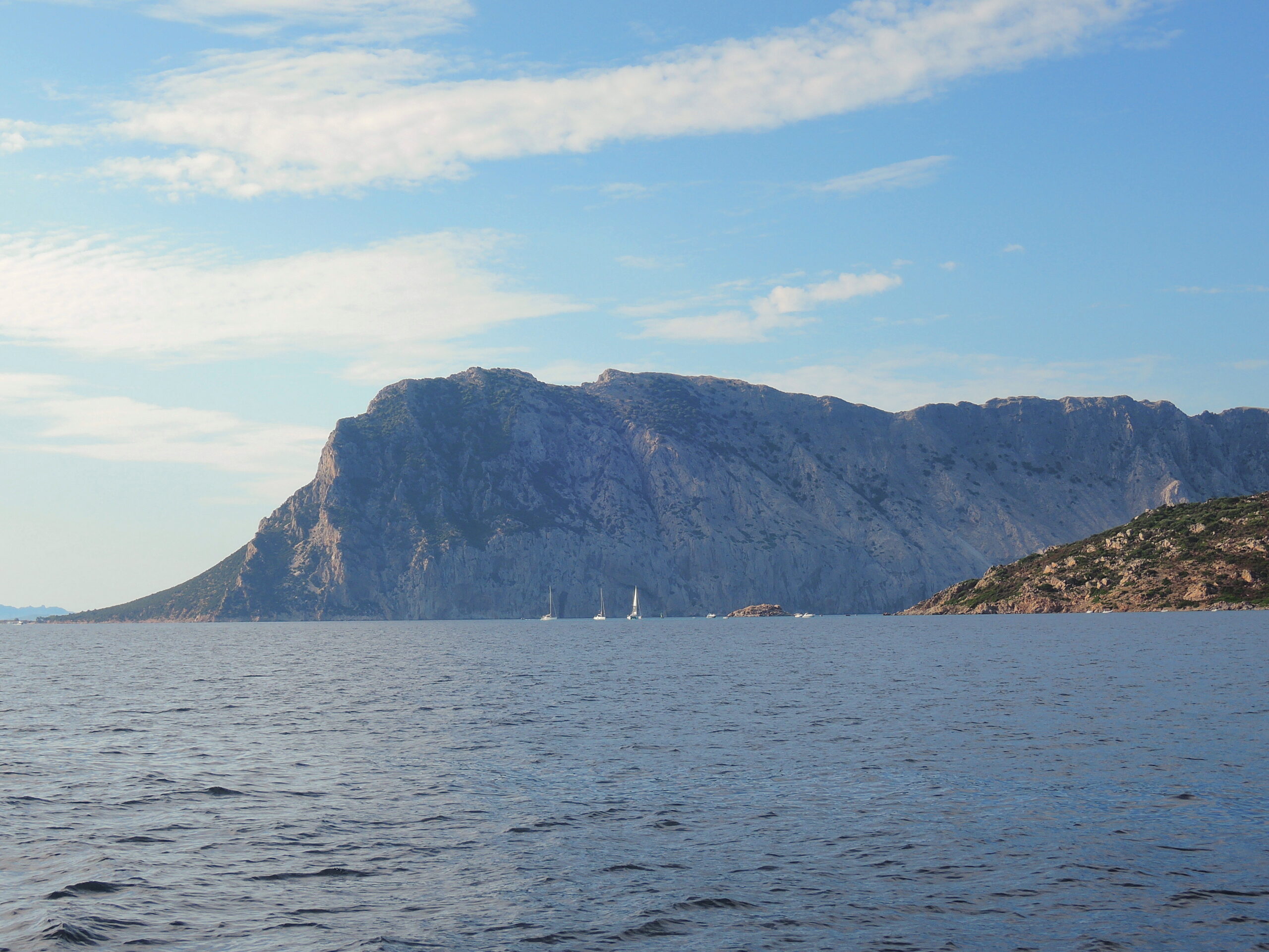
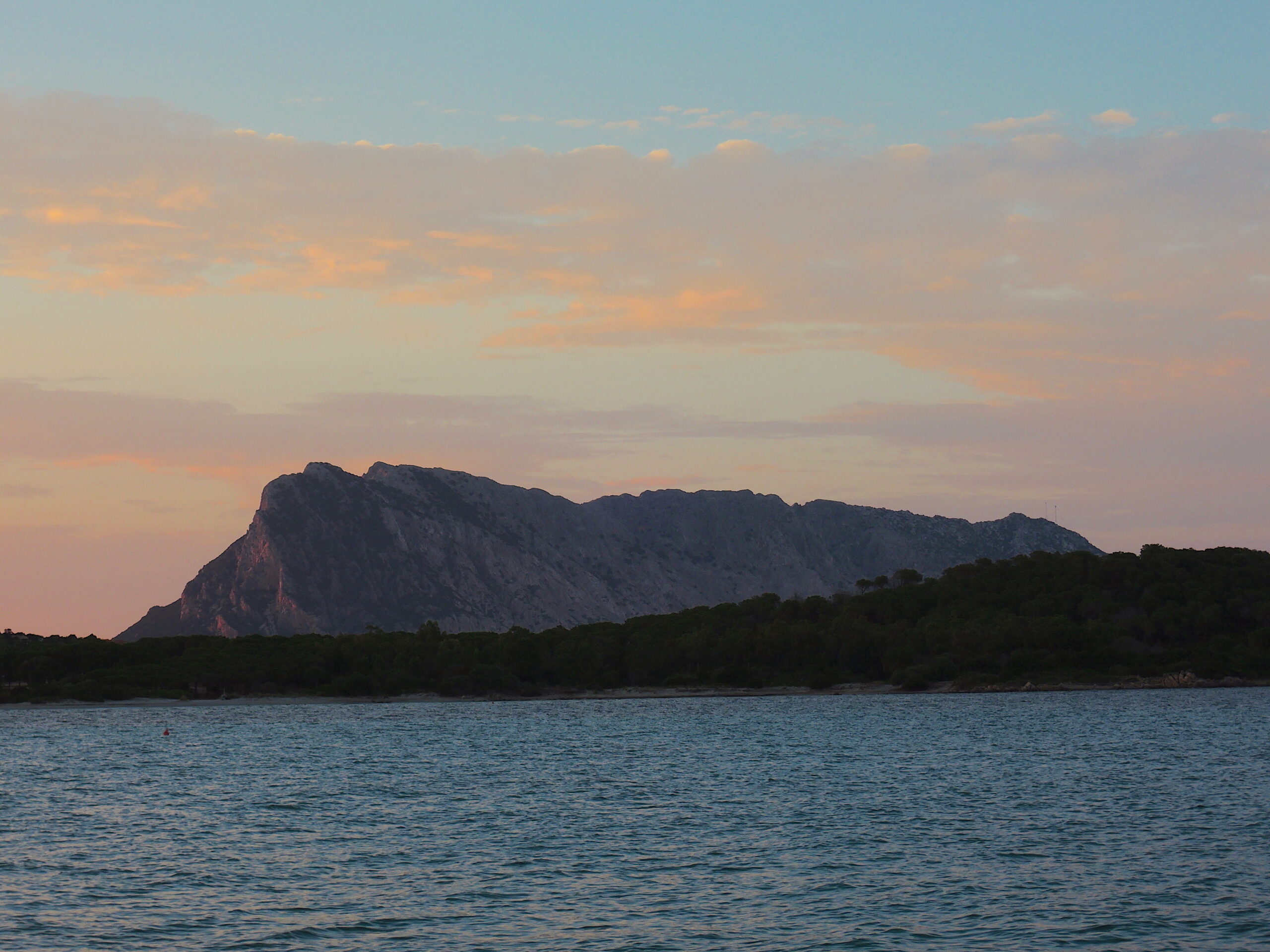
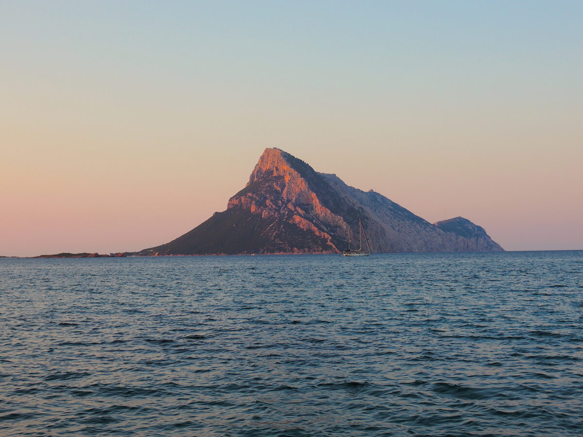
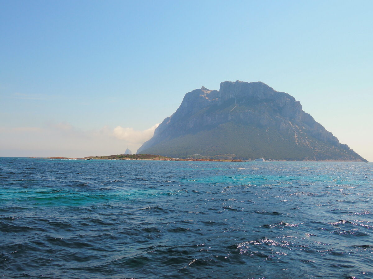
Tavolara is a small island off the northeast coast of Sardinia, Italy. The island is a limestone massif 5 kilometres (3 miles) long and 1 kilometre (0.6 miles) wide, with steep cliffs except at its ends. Its highest point, Monte Cannone, is 565 metres (1,854 feet) above sea level. A cove and beach can be found at each end of the island, Spalmatore di Fuori at the northeast, and Spalmatore di Terra at the southwest. Currently, the island is inhabited by only a handful of families, and has a small cemetery and summer restaurant. The water around the island is a popular spot for scuba diving.
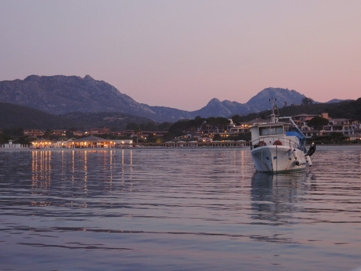
The nearest sizable town is Olbia, and the small fishing village of Porto San Paolo is directly across a small strait. The islands of Molara and Molarotto are nearby.

Tavolara
Most of the population of the island was displaced in 1962 when a NATO radiogoniometric station was constructed on the eastern half of the island. The aerials from the station can be seen from quite a distance, and that entire half of the island is restricted to military personnel.
Tavolara is also home of the VLF-transmitter ICV, which works on 20.27 kHz and 20.76 kHz and which is used for transmitting messages to submarines. It can also be received (but not decoded) by PCs with a coil antenna at the soundcard entrance and FFT-analysis software.
The island and the surrounding waters are part of the Tavolara and Punta Coda Cavallo Marine Preserve created in 1997. The environmental protections placed on the park have added restrictions to the use of the area for tourism.
A natural column of rock on the island’s coast resembles a human figure and is known as “the Stone Sentry” or “Pope’s Rock.”[1] Other stone formations include “Ulysses’ Bow” (a natural arch) and the “Grotta del Papa” (a cave accessible by sea and boasting Neolithic cave paintings).
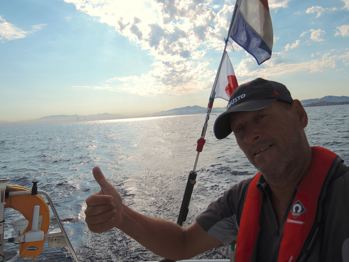
The last 70 Miles, Solo form Marseille to Sete…