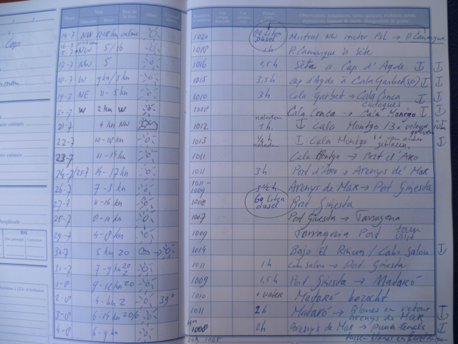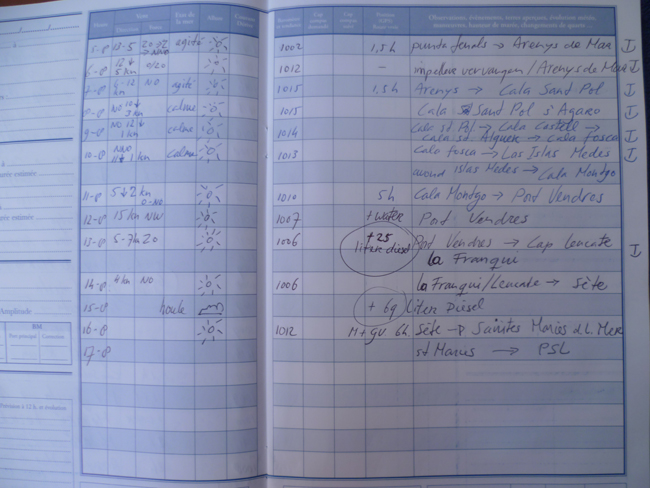
The Summer of 2012 (13th of July till August 25th) Esprit the Co(r)ps went to Spain, to discover the coast of Catalunya from Costa Brava untill Tarragona
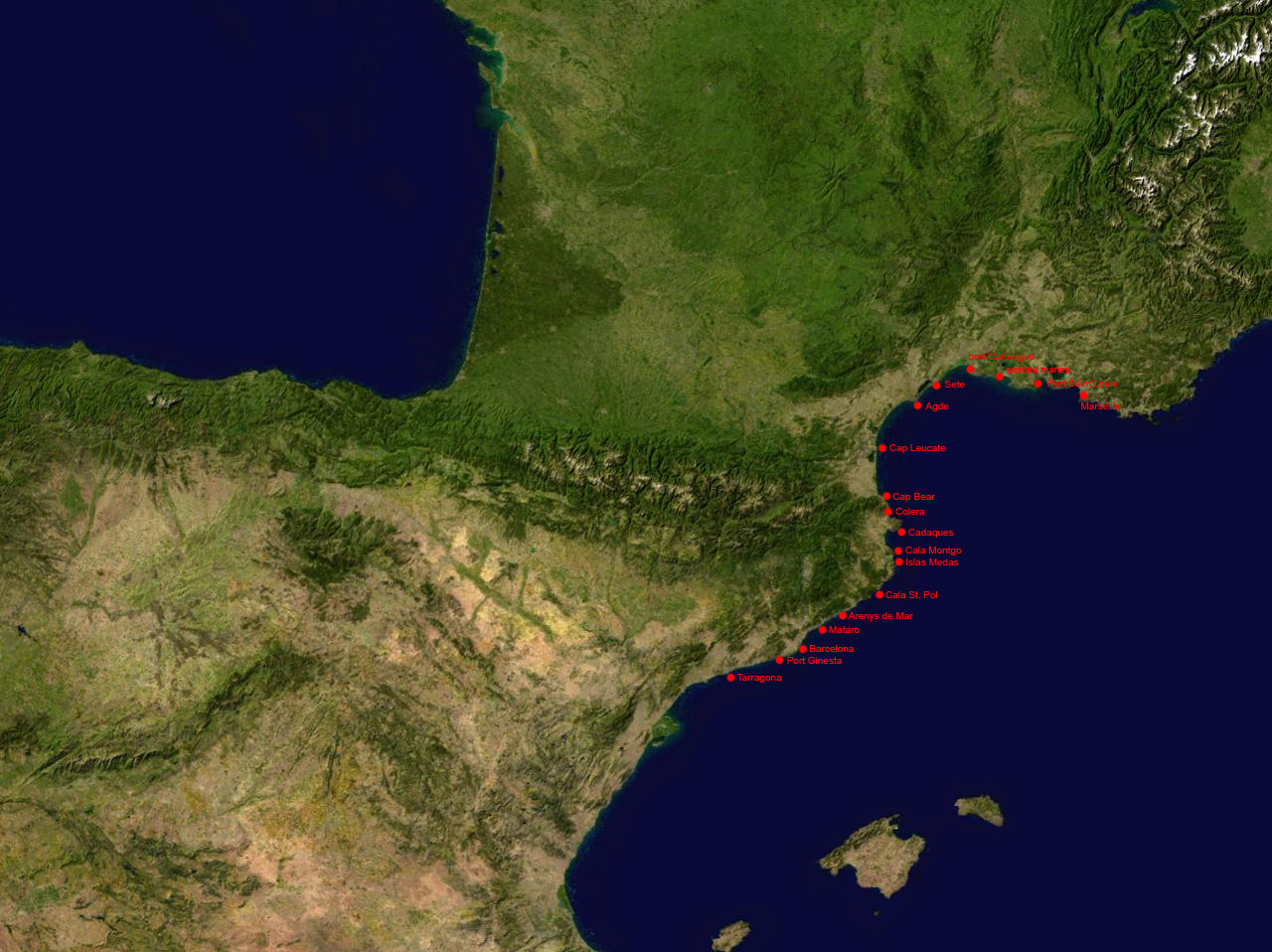
below a visualisation of this trip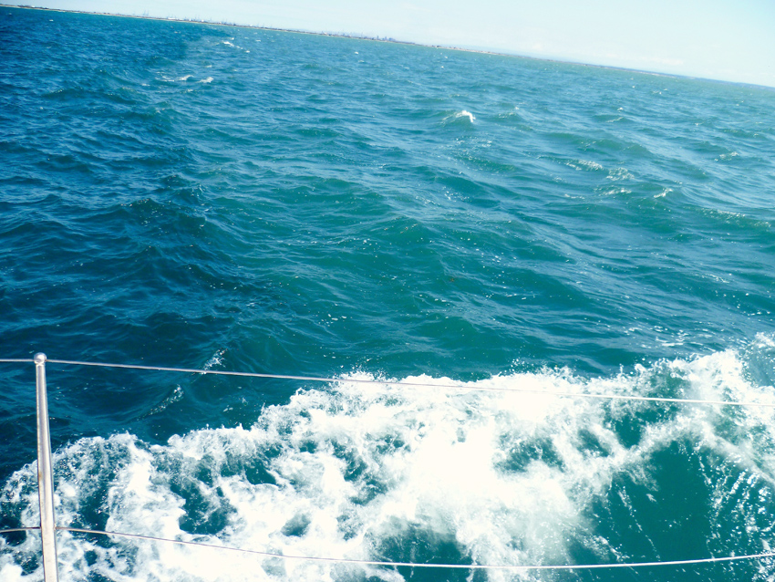 Just after leaving Port Napoleon we cross the entrance to the Rhone (embouchure du Rhone)
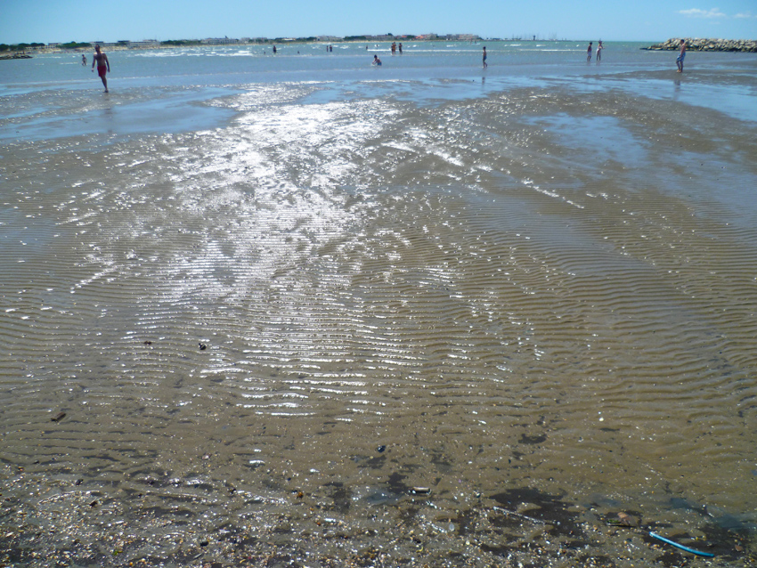 We went to Port Camargue, to wait for the Mistral to settle
Port Camargue is one of the greatest marinas in Europe, with 4800 berths and, on the technical areas, highly efficient specialists for motor boats, sailing boats and yachts.
Located at the west part of the Camargue, in the natural and beautiful delta of the Rhone valley, which is a natural protected area, the marina is build around large channels and pins plantation.
Port Camargue is protected by two breakwaters. Two jetties, situated 0.7 mile S of the entrance to the harbor, extend seaward and form the entrance to a shallow canal. Rocky banks and ledges, which are dangerous for anchoring, lie parallel to the N shore of the gulf and extend up to 1.5 miles offshore into depths of 14 to 20m. During calms or NW winds, anchorage can be obtained in greater depths outside of these rocky banks; however, anchorage within this gulf is not considered safe.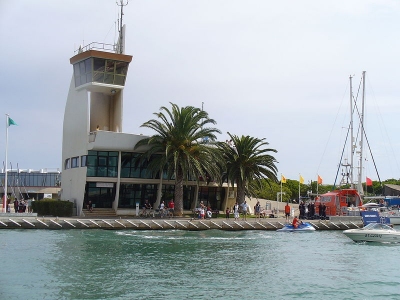 Port Camargue
The Harbour office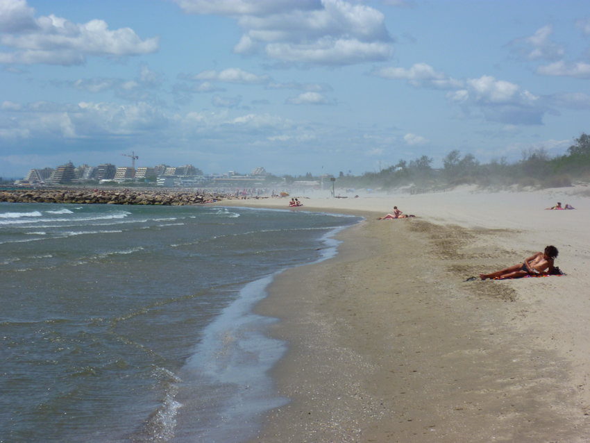 The beach between Le Grau du Roi and La Grande Motte with Mistral
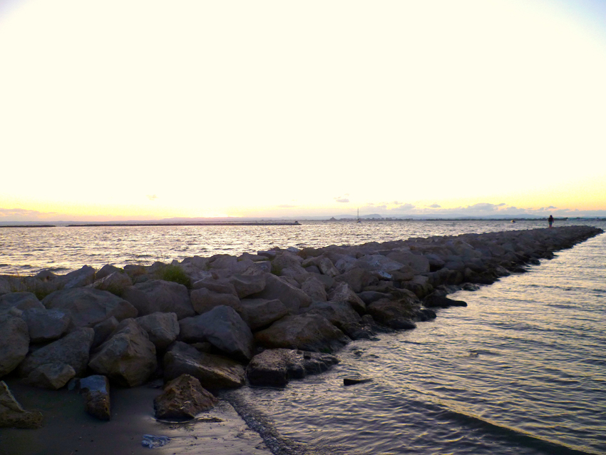 Beach between Port Camargue and Le Grau du Roi
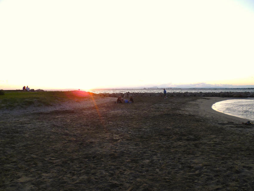
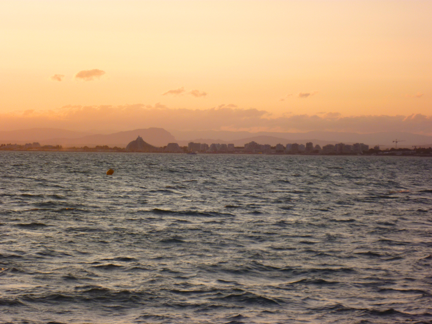 Port Camargue looking North-West towards La Grande Motte
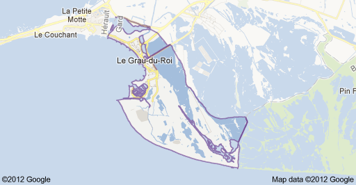
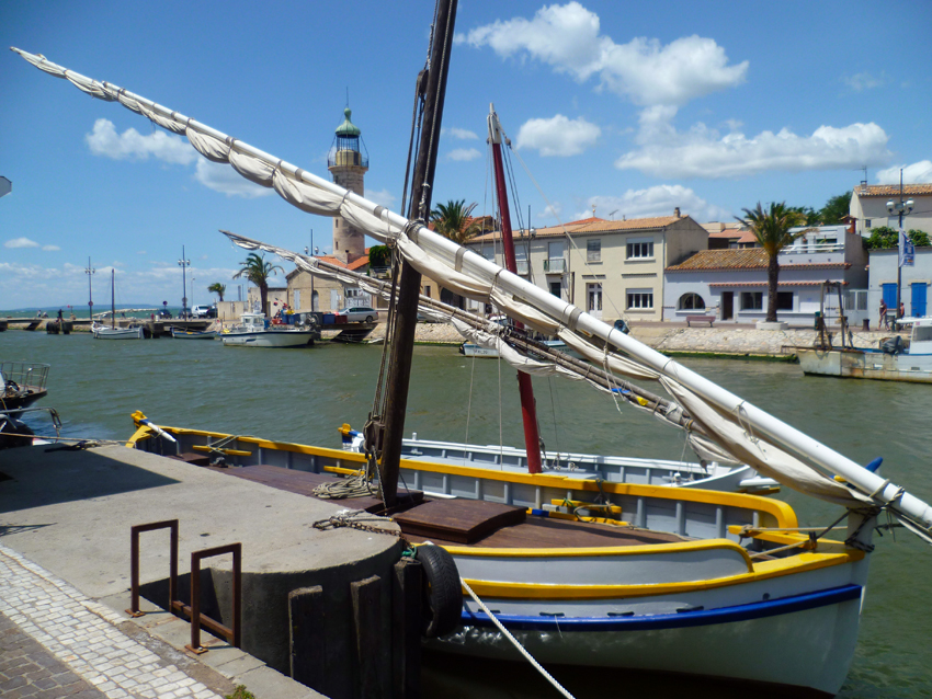
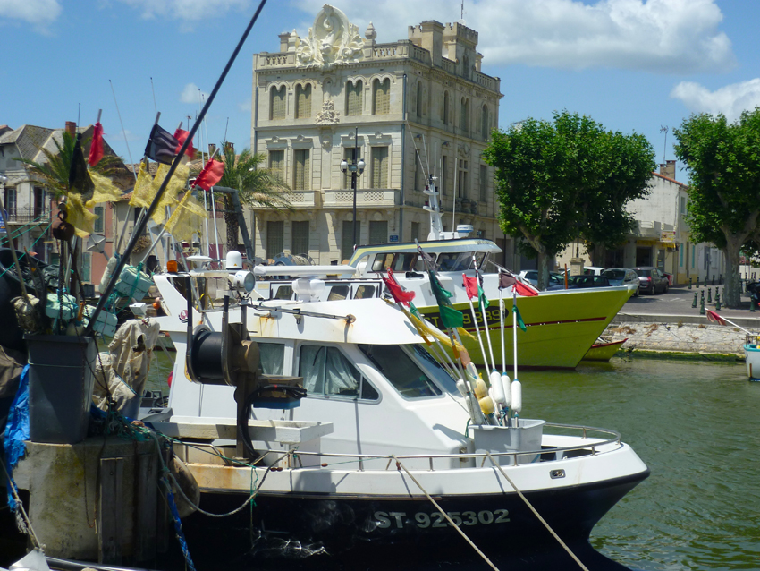
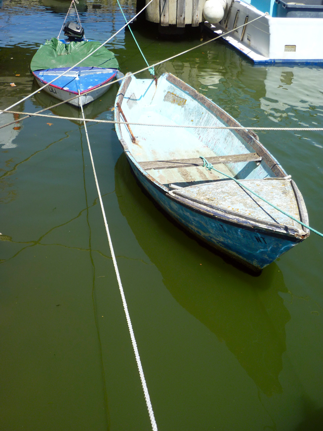
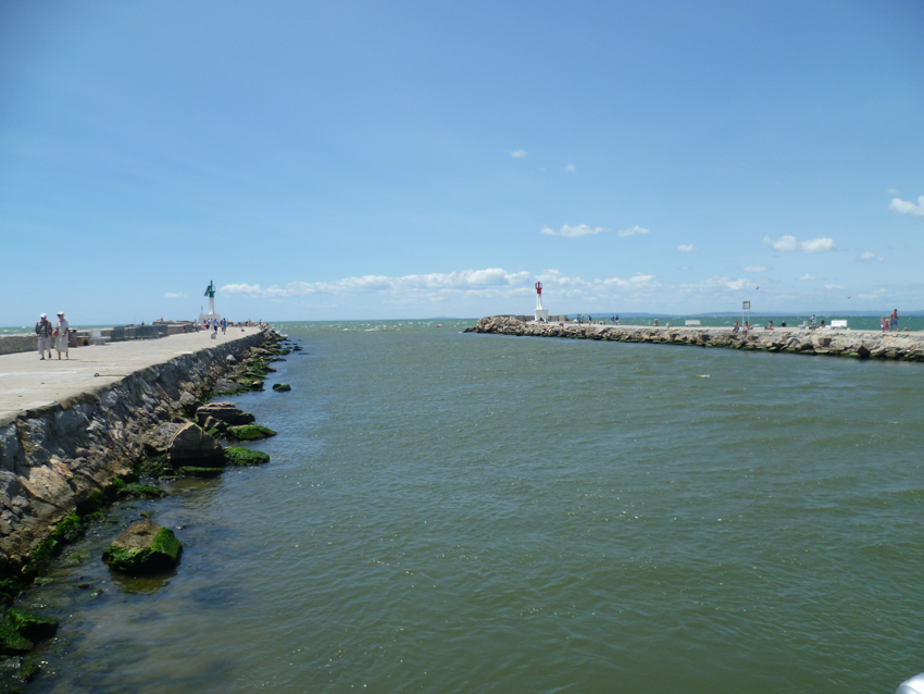 Le Grau du Roi is a city full of surprises and dotted with charming corners that certainly leave an impression. Both the most popular locations, and the less frequented ones, enchant the visitor. No corner of Le Grau-Du-Roi should be left unexplored. above the harbour entrance
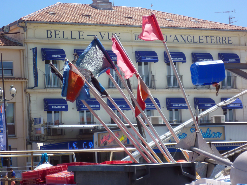
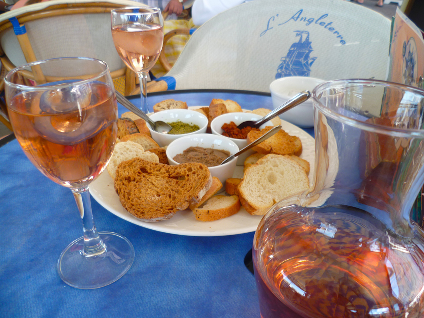 also for eating or just having a drink, Le Grau du Roi offers good opportunities
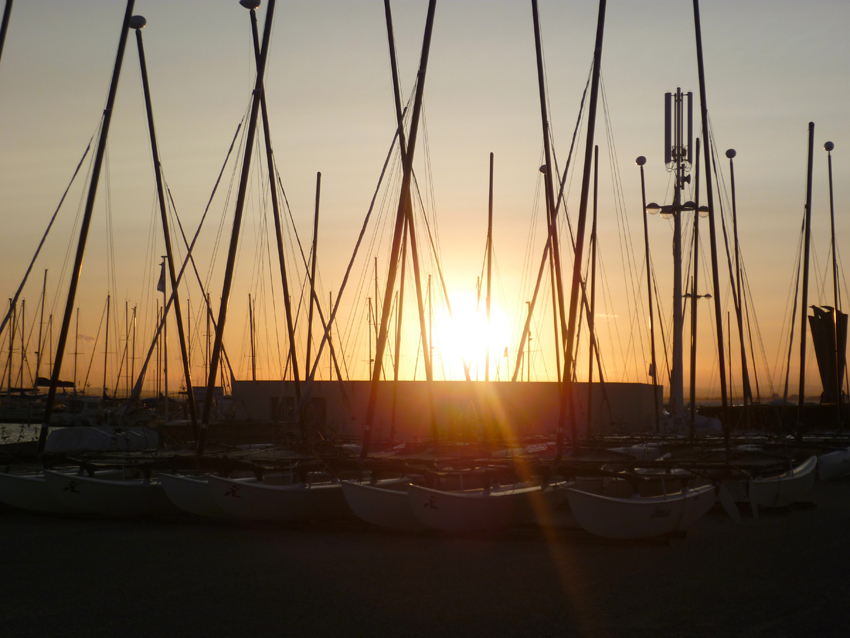 It’s a short walk back to the well protected harbour of Port Camargue
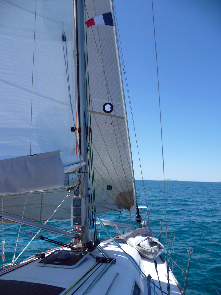 After two days of waiting for the Mistral we were able to continue our trip, we made a short trip to Sete, as we want to get a place there in the future. We started off with 20-25 knots, but as further West as we got the wind got less as well, a known phenomena. In the end we had 6 knots….time for the genoa light, as always in the Mediterranean, changing sails is a daily business…
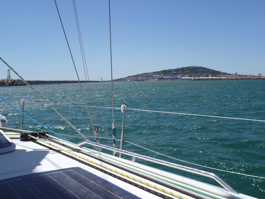 Mont St Clair, with the East entrance of the harbour of Sete
The port of Sete lies 11 miles NE of Cap d’Agde and consists of three sections. An outer harbor and a series of connecting basins and canals in the N part, an industrial zone within Etang de Thau, and an offshore terminal berth.
The harbor lies at the foot of the E slope of Mont de Sete (Mont Saint-Clair). This hill, 180m high, dominates the area and is covered by houses. A television mast, a cross, and a statue stand near its summit.
Mont Saint-Clair Light is shown from a white octagonal tower with a dark green lantern, 19m high, standing on the SE slope of the hill. Citadelle Richelieu, with a signal station at its S end, is situated close NE of the light. A microwave relay mast stands near the lookout station. A conspicuous steeple, surmounted by a golden figure of the Virgin, stands in Sete, near the harbor.
Montagne de la Gardiole, 180 to 240m high, extends between 4 miles and 10 miles NE of the town and terminates in a distinctive peak surmounted by a prominent chapel. A watch tower at Pioch de Camille is prominent. The chimneys of an industrial zone, standing at the foot of this range, can be seen to the NNE of the port. A flare, a large square steeple, and numerous oil tanks are situated at Frontignan, 3.5 miles NE of the port. A noticeable quarry lies 1 mile N of Frontignan.
A lighted approach buoy is moored about 12 miles SE of the harbor entrance.
A sector light is shown from a structure standing in the SW part of the harbor and aids in the approach to the entrance.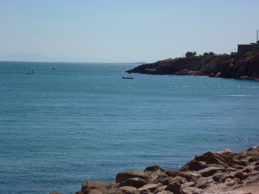 Sete, the Cap. Looking towards Agde, Monts Roussilon and Pyrenees
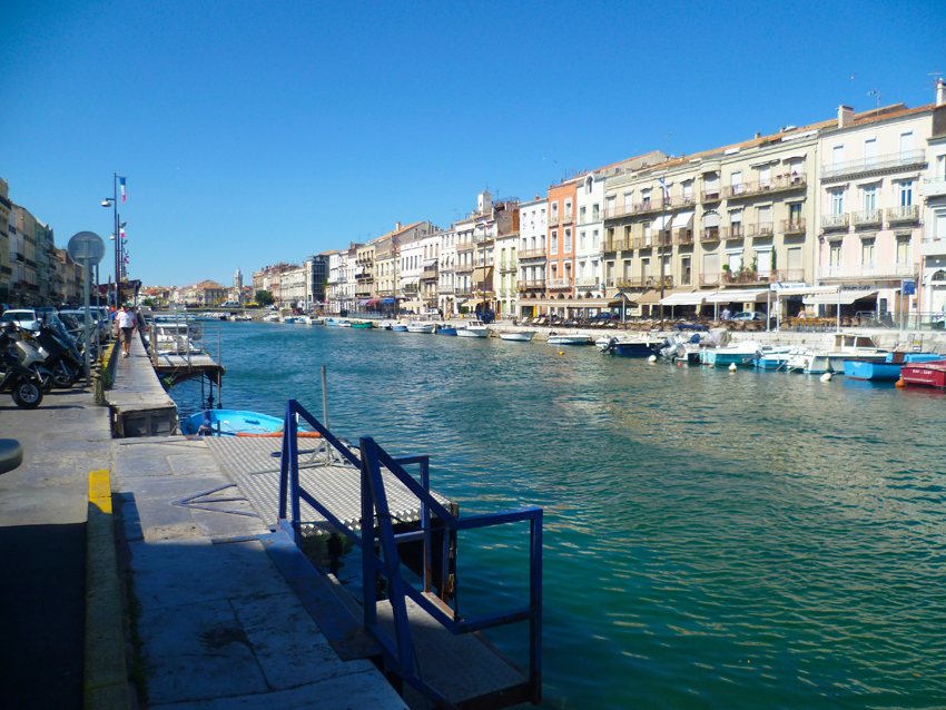 Sete is a large, cosmopolitan town between the Etang de Thau and the Mediterranean, referred to by the locals as the Venice of Languedoc. It is the largest fishing port of the French Mediterranean coast.
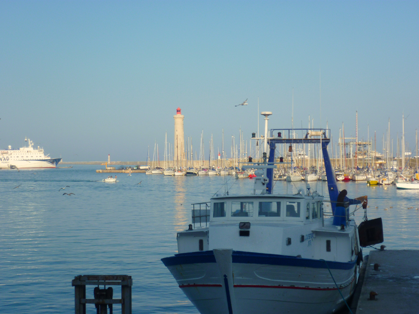 Work on the creation of the port at Sète began in 1666, a date that is still celebrated for the founding of the city. The construction of the port and the city was a big job taking nearly 15 years, during which time dozens of dykes, basins, bridges and aqueducts were built. In the early eighteenth century, there was an attempt by the British to take over the city, but it was rejected. Following this event, the defences of Sète was strengthened with numerous fortifications. In the mid-nineteenth century, the city had a great impetus for the population, especially as a settlement centre for Italian fishermen who left their homeland to seek new employment opportunities. In recent years Sete has become an important fishing centre in France.
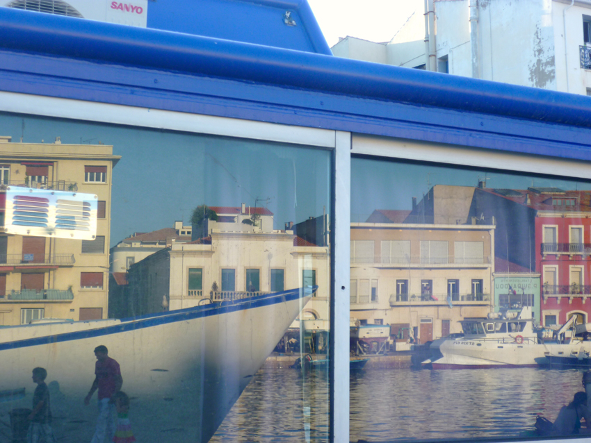 The town falls into two parts – the low town, with the port, and criss-crossed by canals and bridges; and the high town on Mont St Clair. In the low town, the harbour front houses, canals and the fishing activity itself are the main attractions, along with the lovely ‘village within a town’ – the Pointe Courte sector.
Along the edges of the canals are attractive buildings housing shops, restaurants and bars and strolling along these streets edged with small boats is a real pleasure.
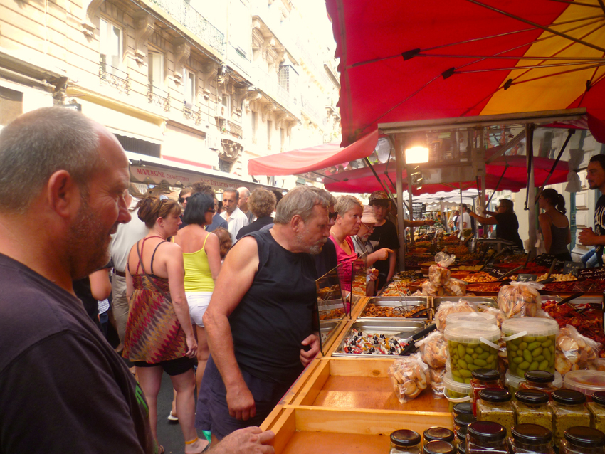
Sète lies at the foot of Mount St. Clair (175 meters above sea level), between the Gulf of Thau and the Mediterranean Sea. To get a feel for the layout of the town you really need to head up Mount St Clair from which you get views of Sete below with its canals and sea-port.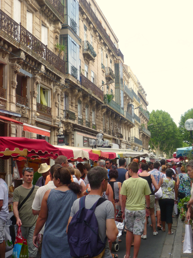 The weekly marked of Sete is visited by lots of locals from the region
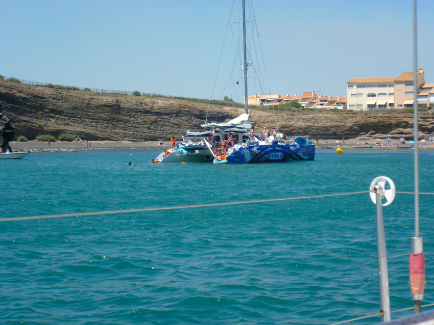 after staying one day in Sete an discover this beautifull and lively city we sailed to Agde
We anchored just off Cap d’Agde in a light Mistral. For North Europe water temperatures seem normal, there it felt like Ice Water…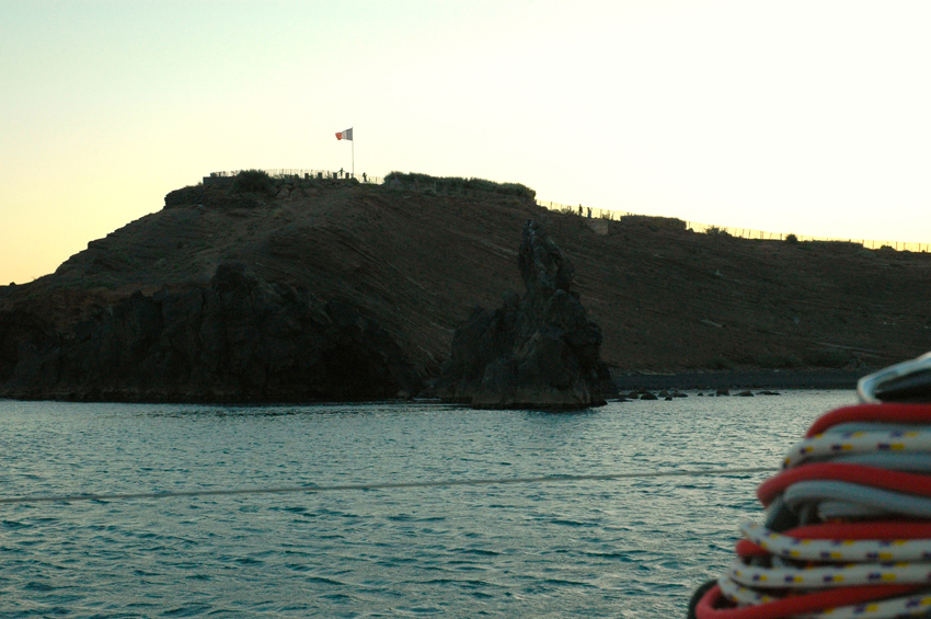 The Cap d’Agde is mainly dark (black) rock
Cap d’Agde is one of the largest leisure ports on the French Mediterranean.
Development as a tourist resort started in the 1970s before which time the only buildings at the Cap were small houses typically used for weekends by local people.
Agde can be reached by TGV SNCF train direct from Paris or Lille whilst the closest airports are Béziers-Cap d’Agde en Languedoc, with direct budget airline services or Montpellier-Fréjorgues. Public transport (taxi or bus) is available between Agde and Cap d’Agde.
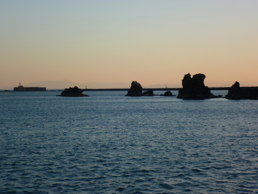 Looking Southwest towards Pyrenees and Cabo Creus (Spain)
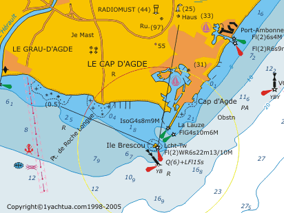
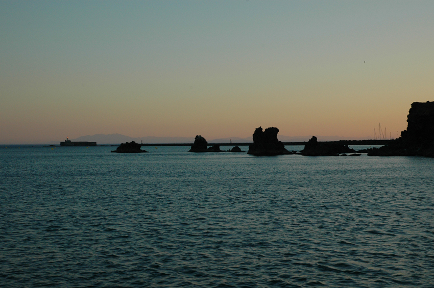 From the Cap d’Agde you can also see the Ilot de Brescou.
Ilot Brescou is formed by a flat rock, lies 1 mile SW of Cap d’Agde and is surmounted by the grey structure of Fort Brescou.
A light is shown from a structure, 11m high, standing at the S corner of the fort. This islet is surrounded by dangers and foul ground.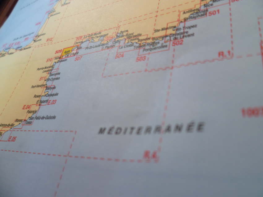 The next morning we left for Spain, the Northwest wind made a quick trip to Colera,
Cala Garvet, a nice anchorageAs we were crossing two weather systems, the wind first dropped and than turned to SouthEast, so the last bit was upwind..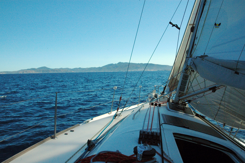
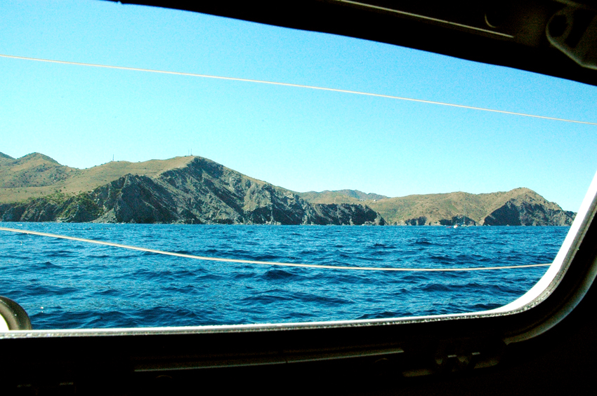 A view on the Pyrenees from the Mediterranee, this is just before Colera
Cala Garbet, one bay South of Colera has Good anchorage in front of the beach, by NW wind. May be dangerous by winds from NE-E-SE. Some buoys in the bay are reserved for restaurant guests. Anchor by 4-7 meters of good resistance on a sandy bottom.
Beware of protruding rocks to the north.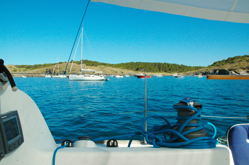 Anchorage in Cala Garbet that evening, as the wind turned again that night we left early next morning for Cadaques
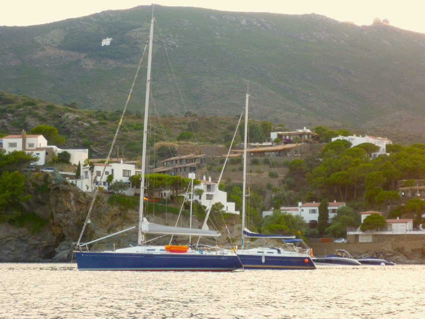 We found a nice anchoring place in Cala Conca
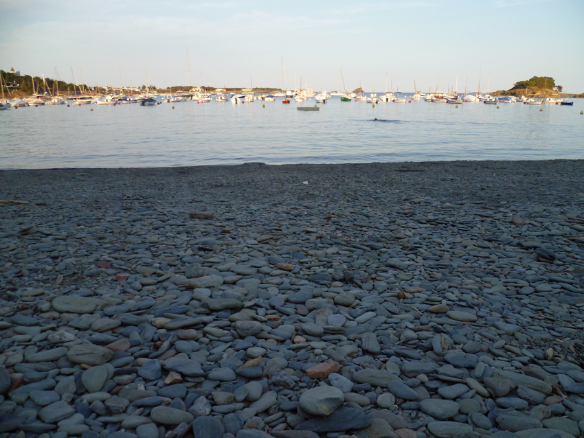 The bay of Cadaques seen from the beach
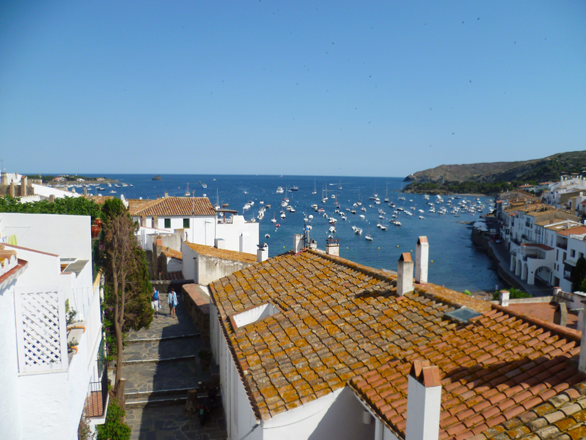 and seen from the village..
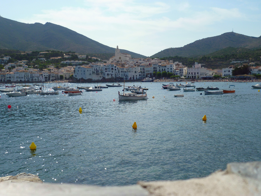 Puerto de Cadaques is a large and beautiful anchorage. It is easy to approach and afford good protection from the seas created by the NW Tramontana wind. It is however wide open to winds from the S – E.
Anchorages – There are a number around in the bay and possible also in Cala Conca in the W of the bay and Playa del Ros in the E. a small trip through the bay in our dinghy
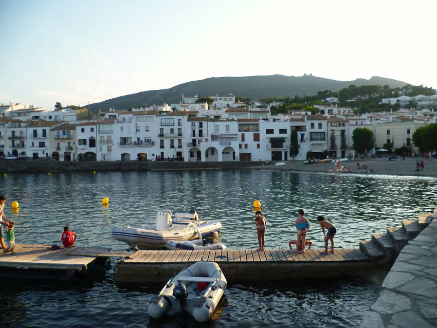
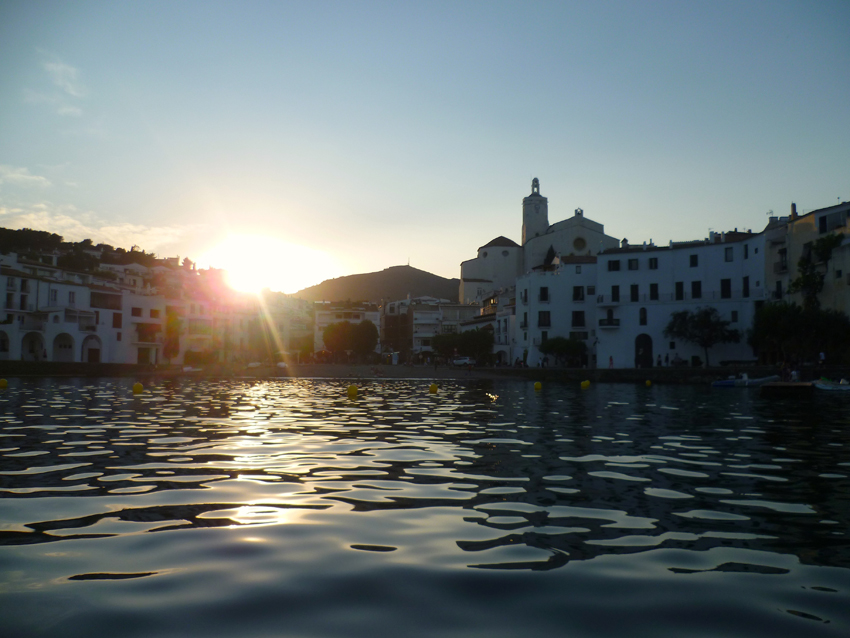 sunset at Cadaques
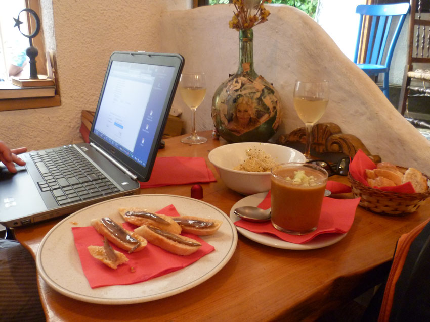 we found a nice internet Cafe, time to check the email naturally with food…and
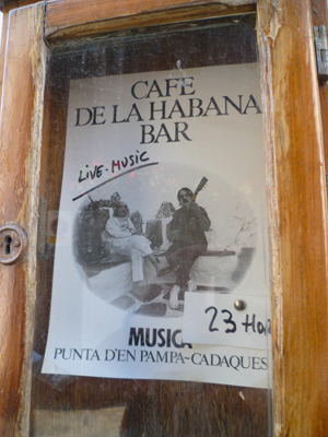
At another bar they must have had famous guests…(salvador Dali, who stayed in these surroundings often)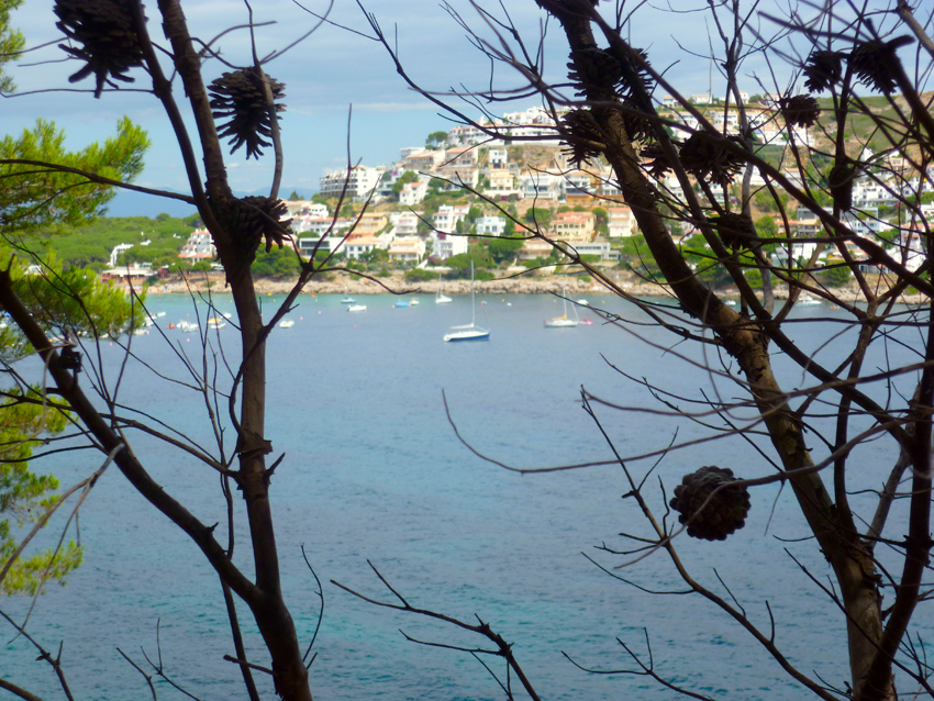 From Cadaques we sailed to Cala Montgo, a well sheltered bay under most conditions, only a southeast wind will blow a sweel into this Cala than you need to put two anchors to put the bow in the direction of the swell to prevent sleepless nights…
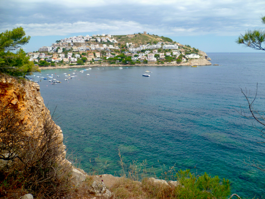 Esprit de Co(r)ps is here still almost alone, half July. On our way back in august the bay was filled with yachts mooring here. The best time to visit the Costa Brava is therefore not August but July..
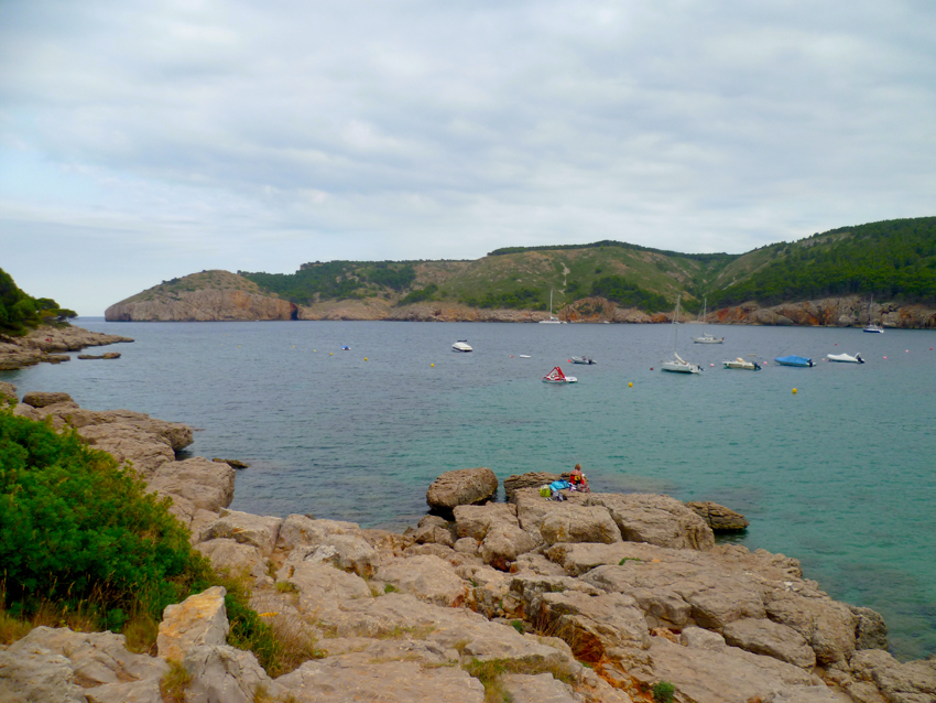 This beautiful anchorage is sheltered from prevailing winds from the northwest and southeast. In summer (June-September) amarage buoys are available for rent
An hotel and several restaurants on the beach.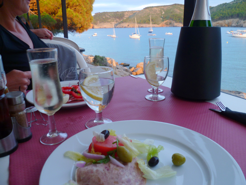 On the Western side of the Cala Montgo bay we found a restaurant that had a superb view on Esprit
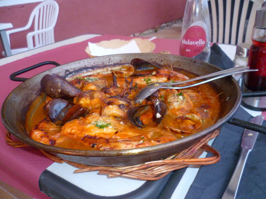 although it looks okay, the Zarzuela was not the best, but the view was great
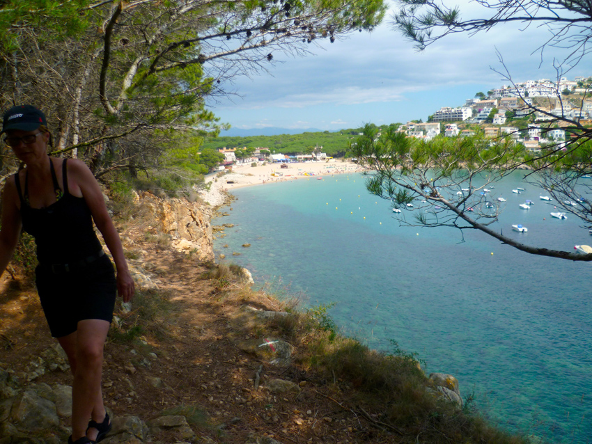 the next day we went for a walk in the direction of El Estartit
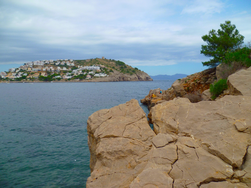 A view on the entrance of Cala Montgo, with in the (far) back the mountains of Roses
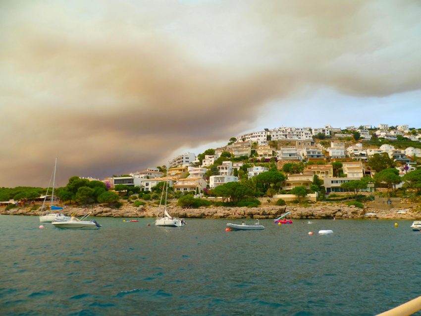 after one day of shelter for the Northern wind, the sky announced another thread..
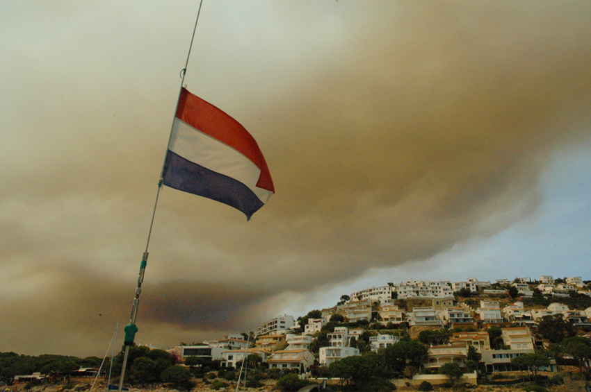 the sky went darker and darker, a huge fire was not too far from us
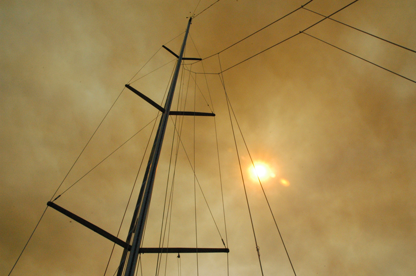
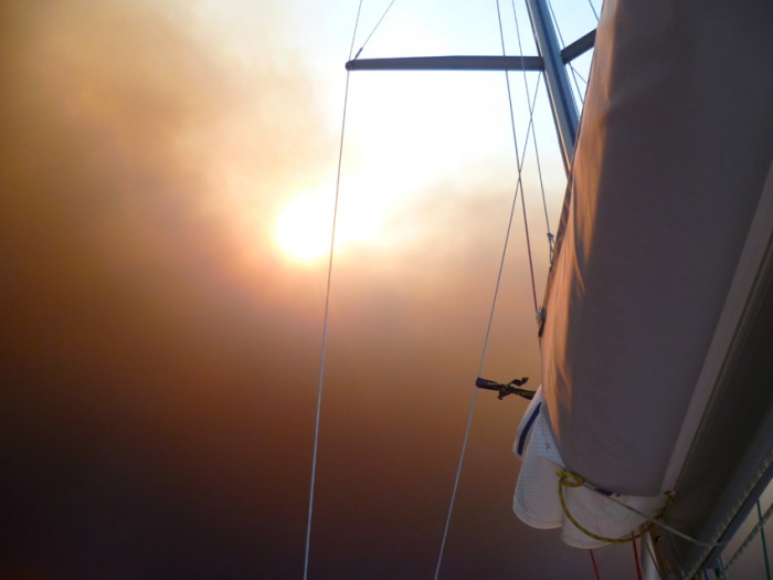
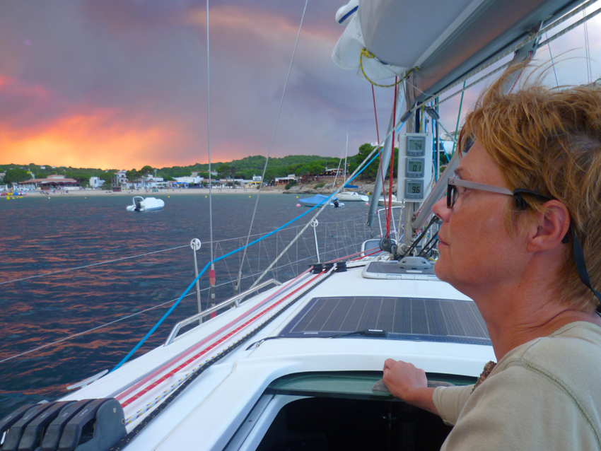
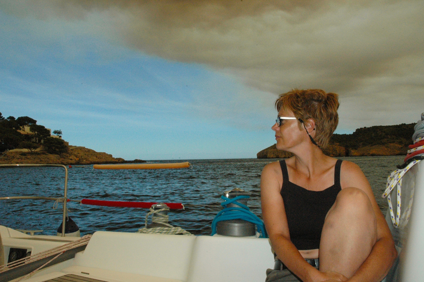 finally in the evening the fire and clouds got less
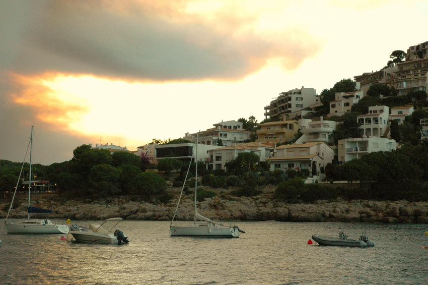 From Cala Montgo we went South as in heavy wind our dinghy with outboard flipped over, so we were in need of repair..
We first tried Port d’Aro, expensive but unlike what the Pilot wrote, no repairs…
The next day we tried Blanes, hoping to be able to find repairs for our outboard there
Unfortunatly we were not welcome in Blanes with our draft of 2.40, so we went on to 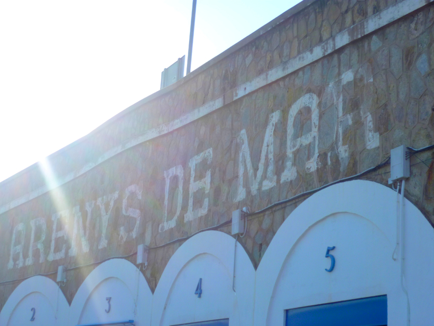 Arenys de Mar
Arenys de Mar is a fishing and yacht harbour.
The access is easy in all winds.
The entrance is 150 m wide.
T. 93 792 16 00
F. 93 792 07 44
M. administracio@cnarenys.com
428 pl. (<25 m)
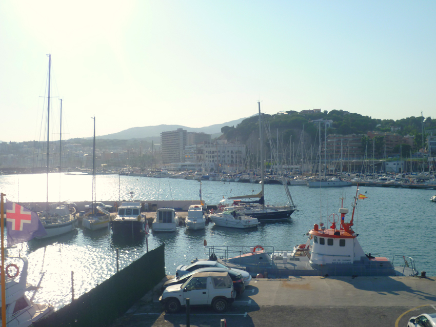 Arenys de Mar is a well protected harbour, many French use it as a stepping stone on their way to the Baleares
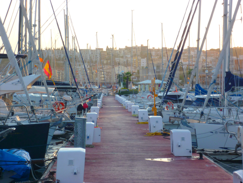
 We found a place to repair the outboard, but the service man had no time..
Fortunatly he told us exactly how to do it, so from now on we can repair our outboard ourselves whenever it falls in the water again, in a way we were very thankfull that the man did not want to do it 🙂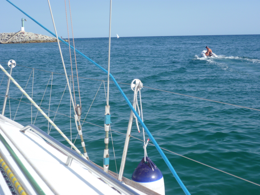 after 1,5 hours of work the outboard ran again.. We decided not to stay in the harbour, but drop our anchor just off the entrance, were we were well protected against the Southeast swell and the wind that turns to the North every night. Also here we dropped two anchors, something we will do more and more these holidays…
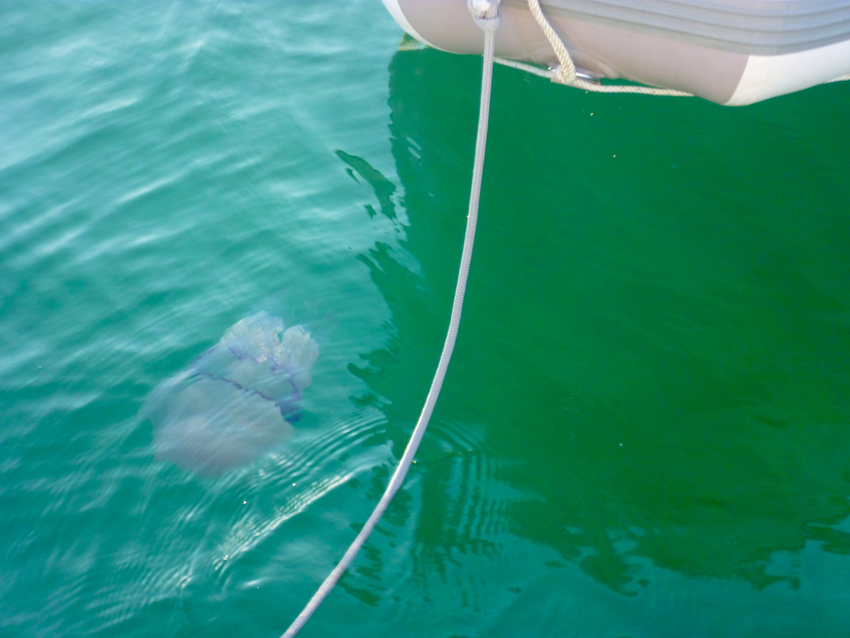 Every evening the area became the hunting spot of (huge) Jellyfish, there are sometimes hundreds of them in small areas alongside this coast. That explains why we also saw so many Moonfish
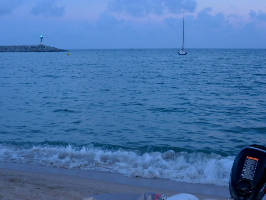 In the evening we decided to go out for dinner, as we had seen an nice restaurant on the beach where many locals went
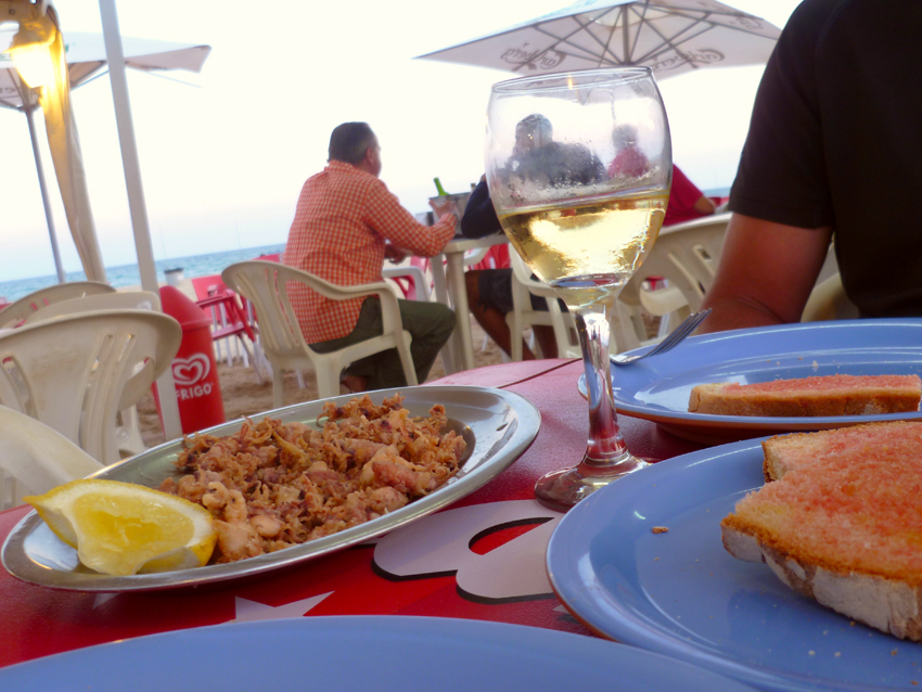
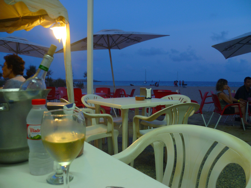 We had a wonderfull diner and went back the night after as we discovered the nicest restaurant so far, with simple but wonderfully well made sea food
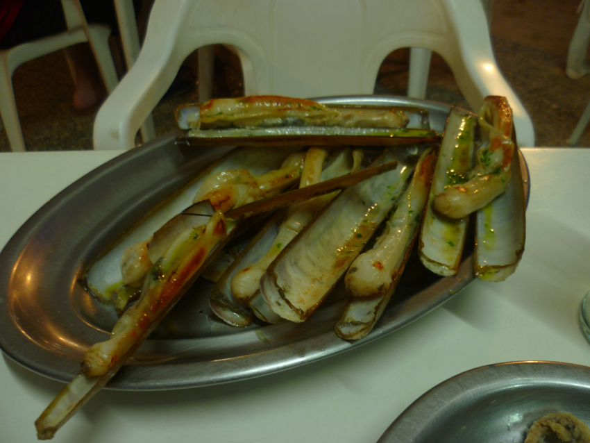
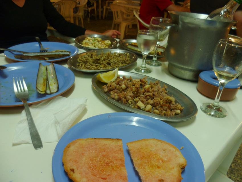
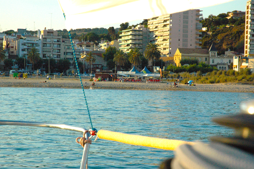 The restaurant on the beach seen from the Esprit de Co(r)ps, anchoring off the entrance to the harbour of Arenys de Mar
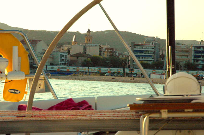
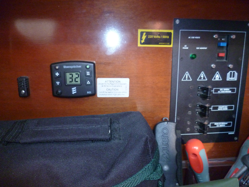 Every end of the day temperatures in the boat (in the shadow) reached 32 degrees….
 From Arenys de Mar we decided to sail Southwest, as the winds were too strong for anchoring at the Costa Brava. As we did not know this stretch of coast we took it as a discovery that the weather forced us further Southwest. Here we arrived in Port Ginesta.
Ginesta marina is located at 13 NM SW Barcelona.
To access possibly with a boat over 24 meters, you should first consult with the Office of the Captain.
Beware the music coming from bars located on the port can awake you until 7:30!
2012 was quit, probably due to the crisis…
T. 93 664 36 61 ou 677 527 008 ou 677 527 009
F. 93 665 01 66
M. info@portginesta.com
1442 berths. (<20 m)
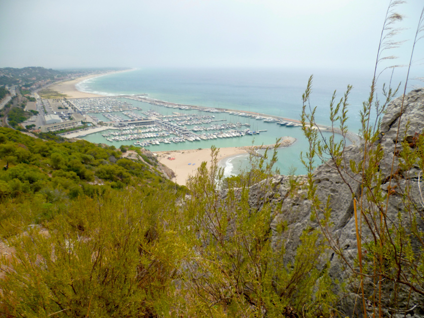
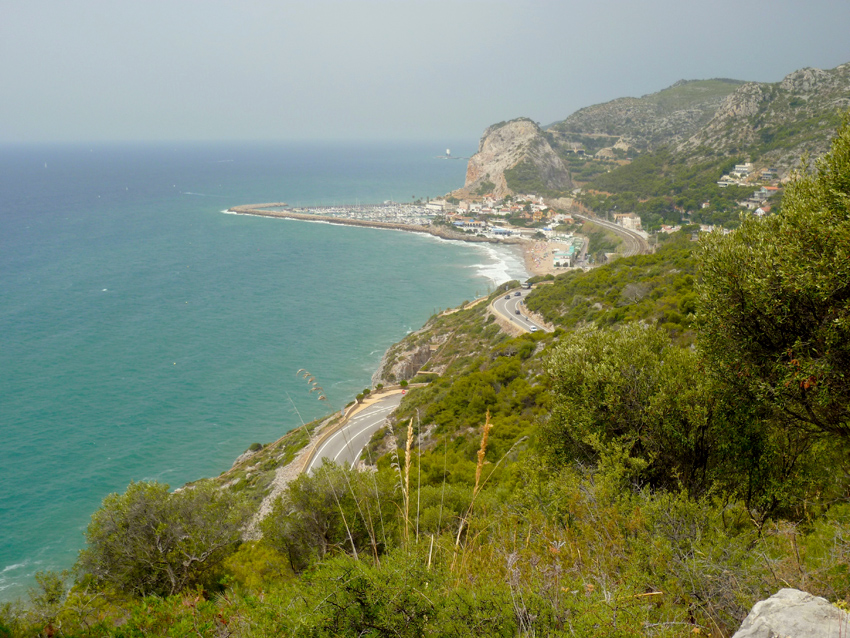 Port Ginesta lies next to a nature reserve, here on a walk alongide the coast looking towards Port Garraf
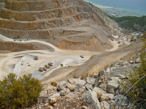
Spanish have streange ideas about nature reserves…here they are mining everywhere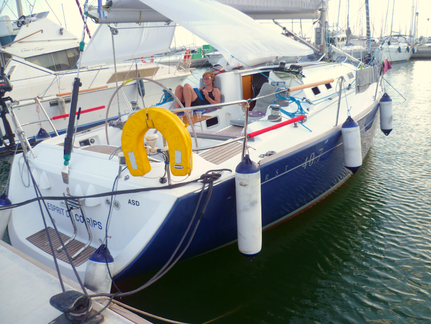 Shelter was also needed in Port Ginesta; temperatures were above 40 degrees…
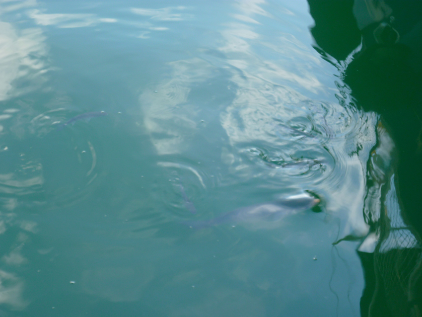 Fish were struggeling to breathe, also for them it was too hot
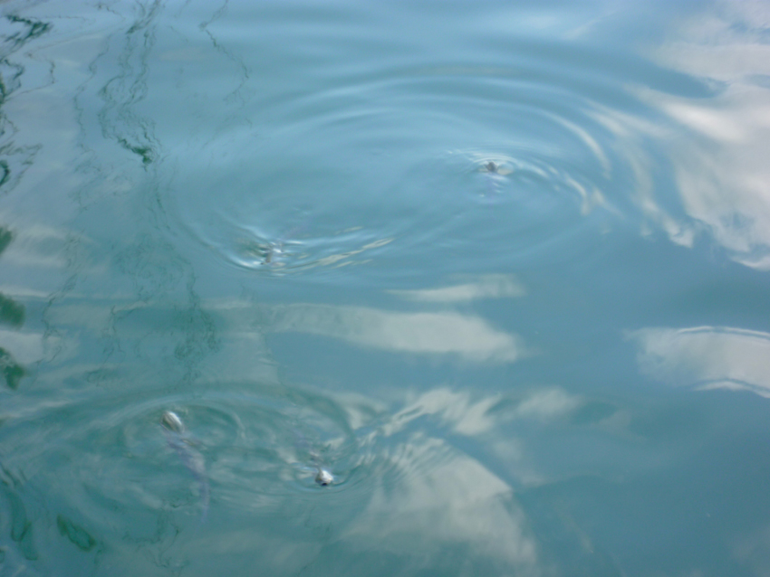
A ‘ballet’ performed by fish….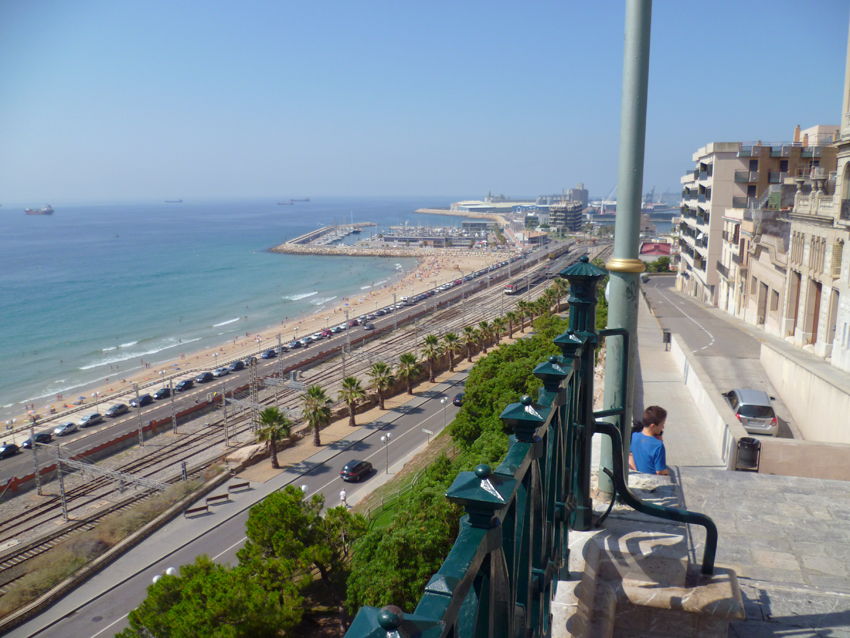 From Port Ginesta we sailed to Tarragona, the city is very much worth a visit, not too big.
The picture is taken from the Balcon de Mediterranee, in the back are the Yacht Harbour and on the right the Commercial Harbour.
The marina is located on the seaward side of the E sea-wall, close to the NE angle of the commercial harbour of Tarragona.
Tel. 977 213 100
Fax. 977 212 702
Mail. nautictg@portesportiutarragona.com
400 places. (<20 m)
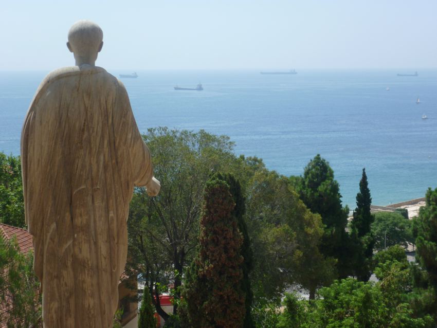 Roman Emperor Augustus watching over the new fleet of oil tankers
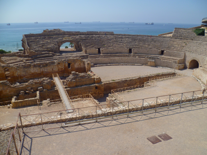 The ancient Roman Theater is well preserved and lies just off the beach
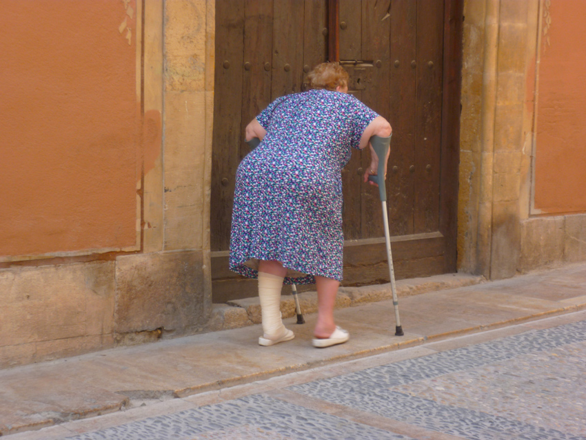
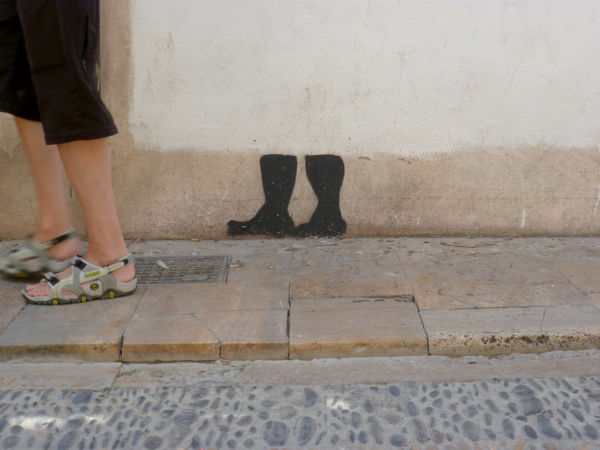
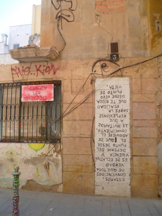
some graffity guys make an effort…..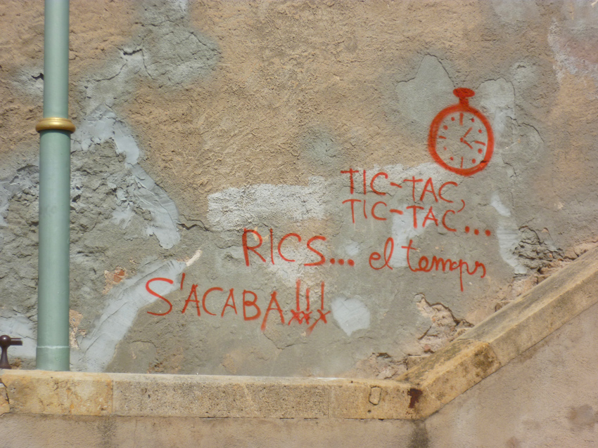
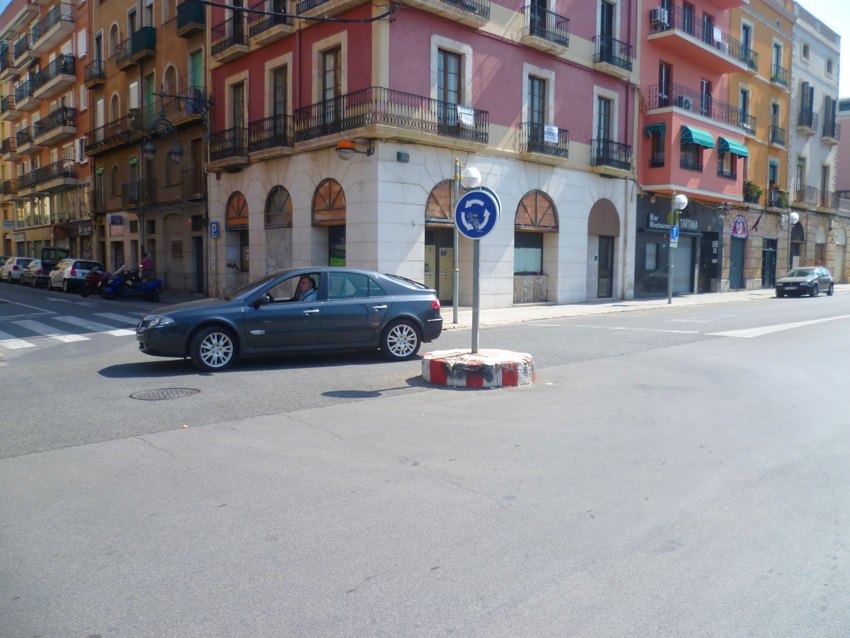
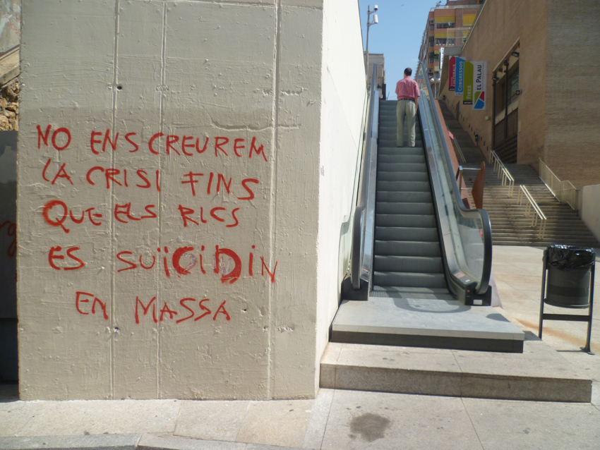 the economical crisis was very present in Tarragona, visualized with lots of slogans

 really all?
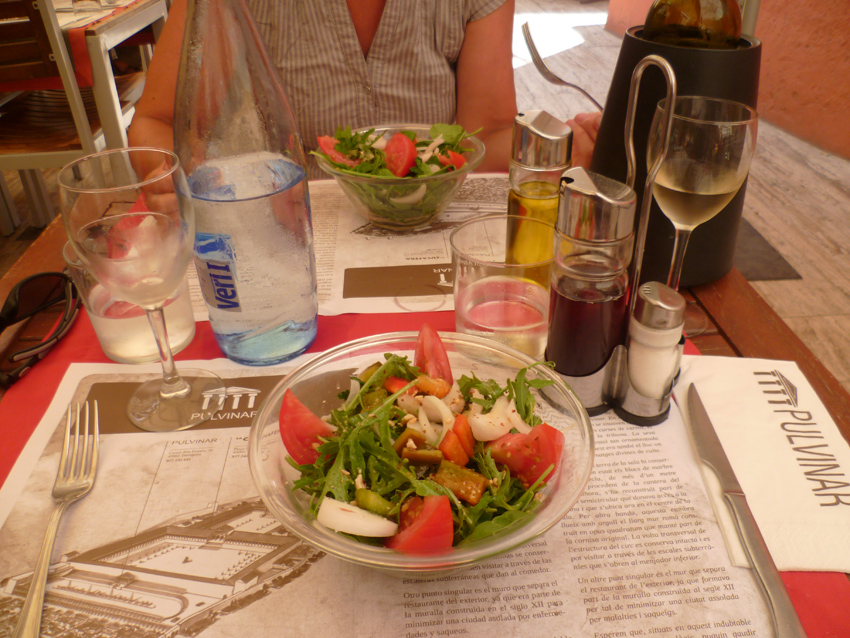 Time for good food, we discovered Pulvinar, nice atmosphere and (very) good food
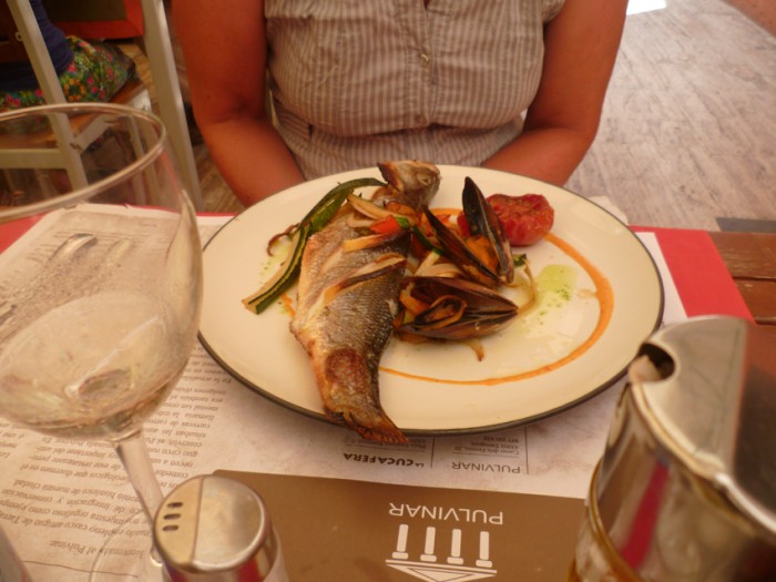
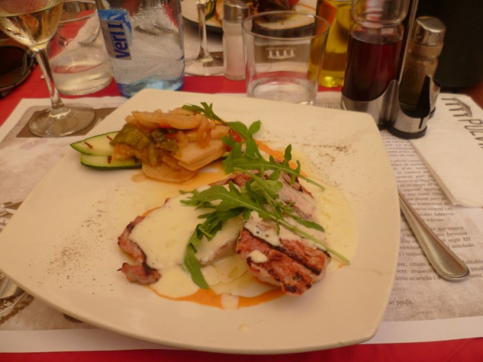
 even the desert was very good
 We stayed two days in Tarragona, than went on to La Pineda, just off Cap Salou
Salou cape is a rocky outcrop, 79 m high. From a distance it appears as an island because of the low coast which extends to its N side.
A 11 m tall lighthouse, with a radio beacon, is located on the cape.
 We found a nice place to anchor, well protected against the swell
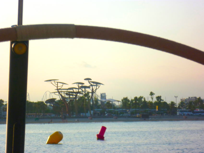
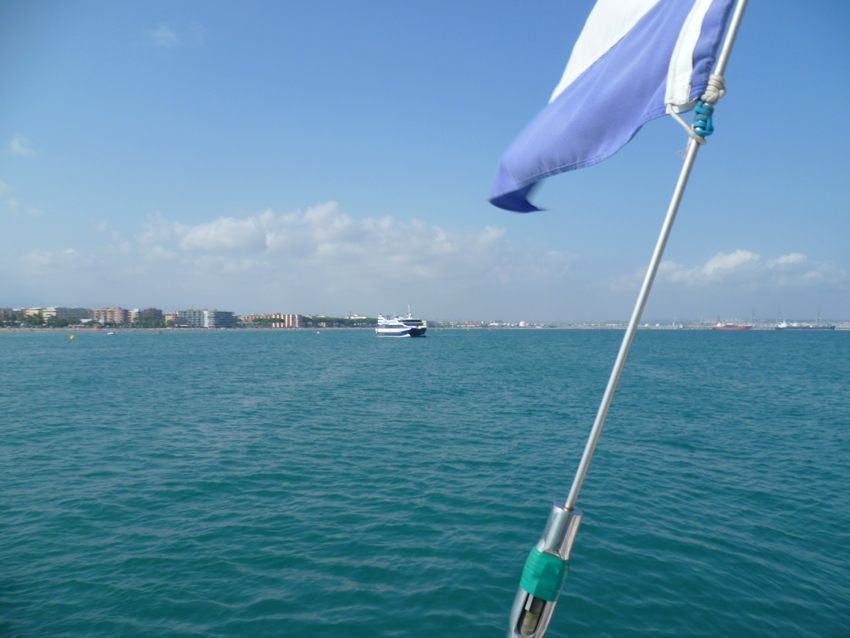 We did not know one thing…this nice place is visited from boats that come from Salou to celebrate here…Dutch and English tourists that drink too much and make lots of noise :-((
We left the next day, heading back towards the Costa Brava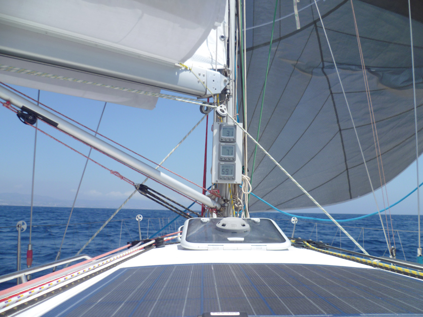
We made a pitstop near Barcelona and than moved on to Mataro
The fishing (SW basin) and yacht harbour (SE basin) is sheltered of all winds, its entrance opens to the SW.
Dangers: isolated shallows covered by 0,6 m of water, 0,4 NM to the SE of the angle of the breakwater. Second shallow 0,8 NM to the ESE of the angle, covered by 6,6 m.
The reception is at the fuel pontoon.
Tel: 93 7550961
Fax: 93 7902942
Mail. info@portmataro.com
1086 b.(<18 m) incl. 200 visit.
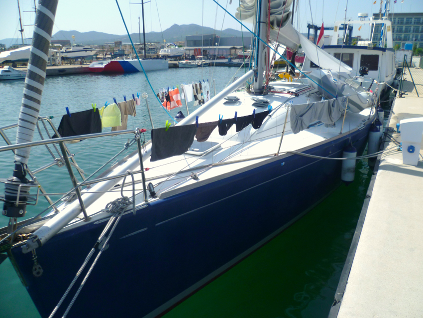 After a few weeks, first it was time to clean some clothes in Mataro harbour
As they had no real place for us, the harbour was full, we got a private pontoon for ourselves…we did not mind and decided to stay, instead of asking for another place the next day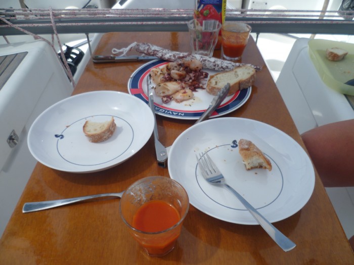 Siesta; time for pulpo with Gazpacho..
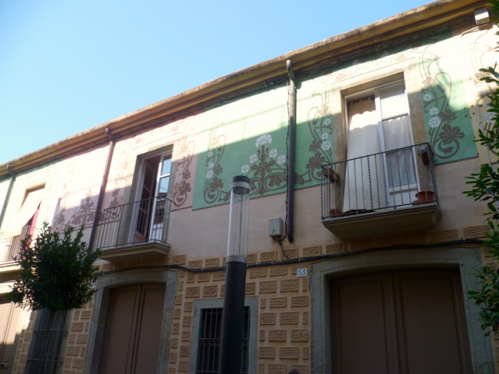 Mataro has some really nice facades
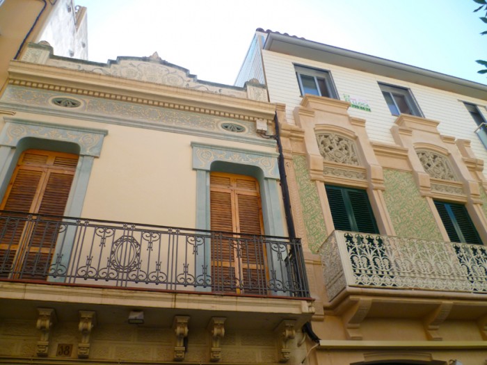
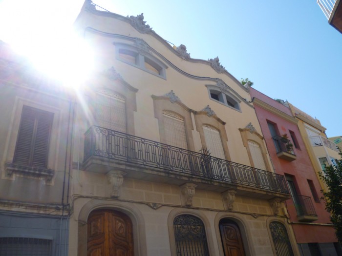
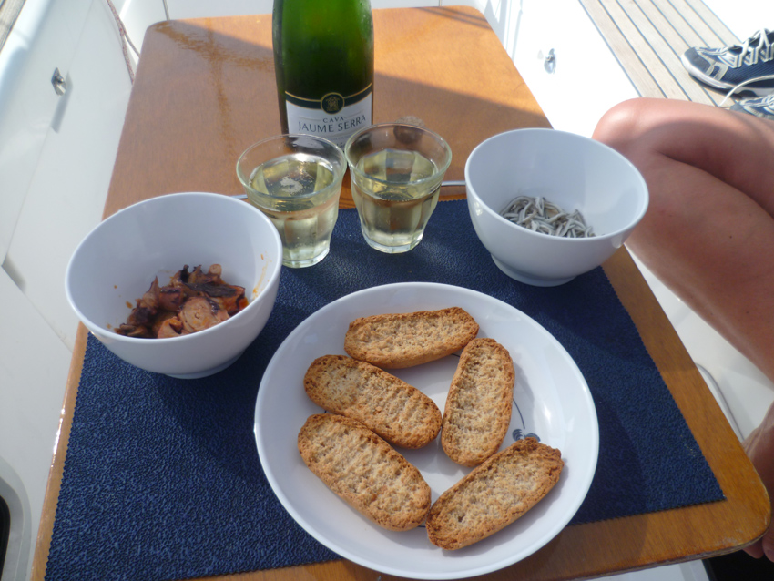 Time for (another) siesta, maybe a Cava to accompagny the food this time….?
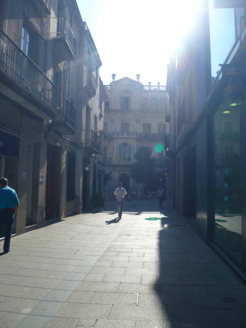
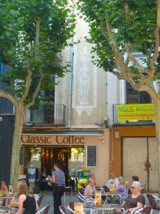
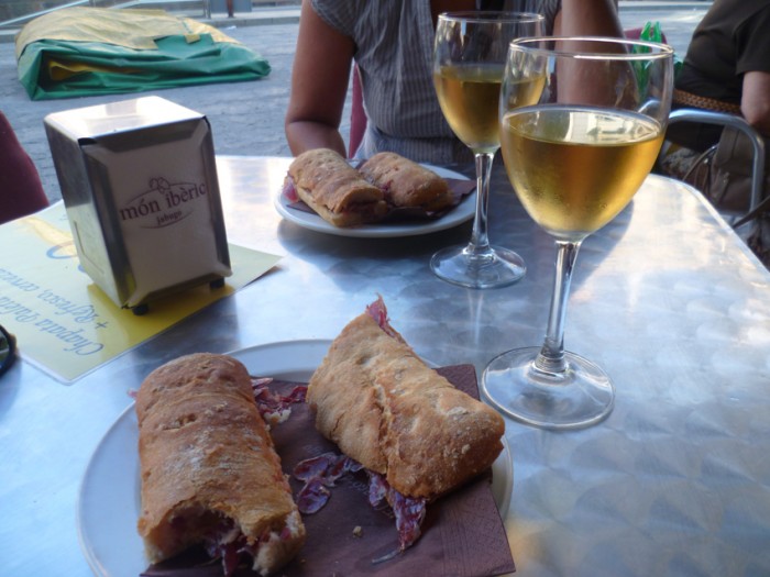 Yep, more food, we do sail as well, it’s not just eating what we do…
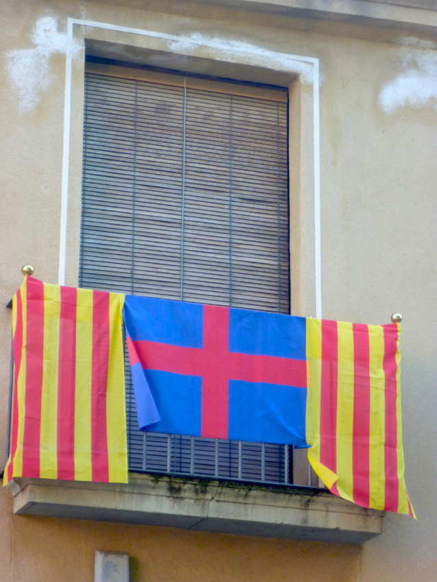
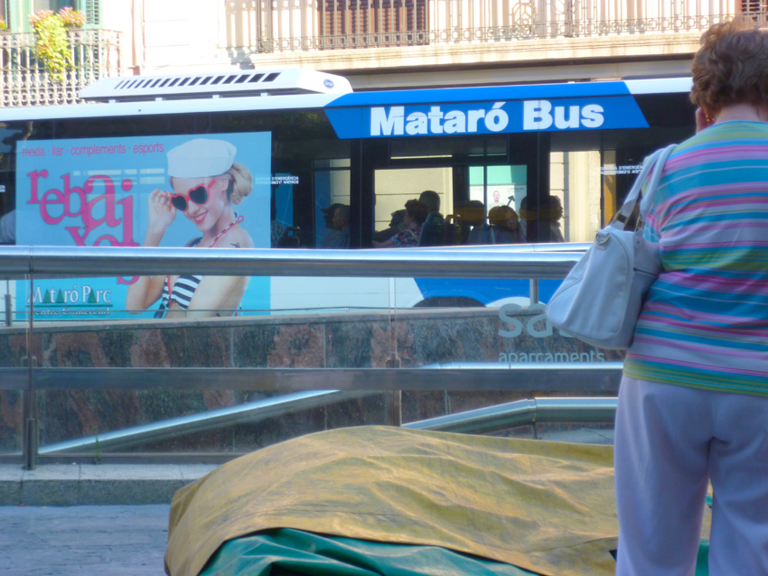 In Mataro everything was on sale, rebaixes in Catalan
to get money, you simply go to a lottery-shop…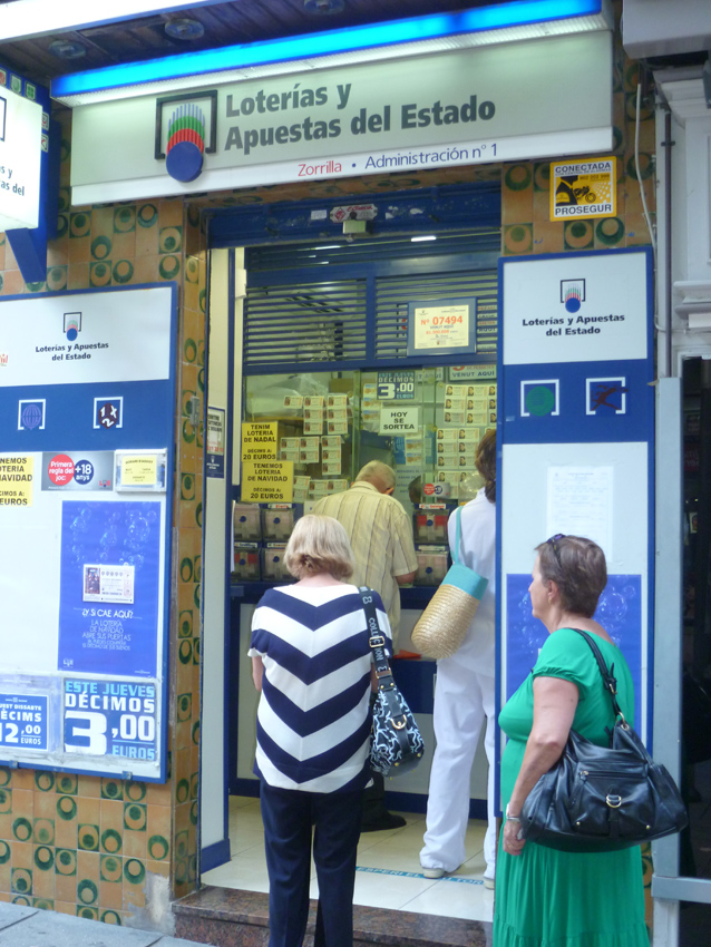 people are waiting in line to buy their tickets, also a way to try and get an income…
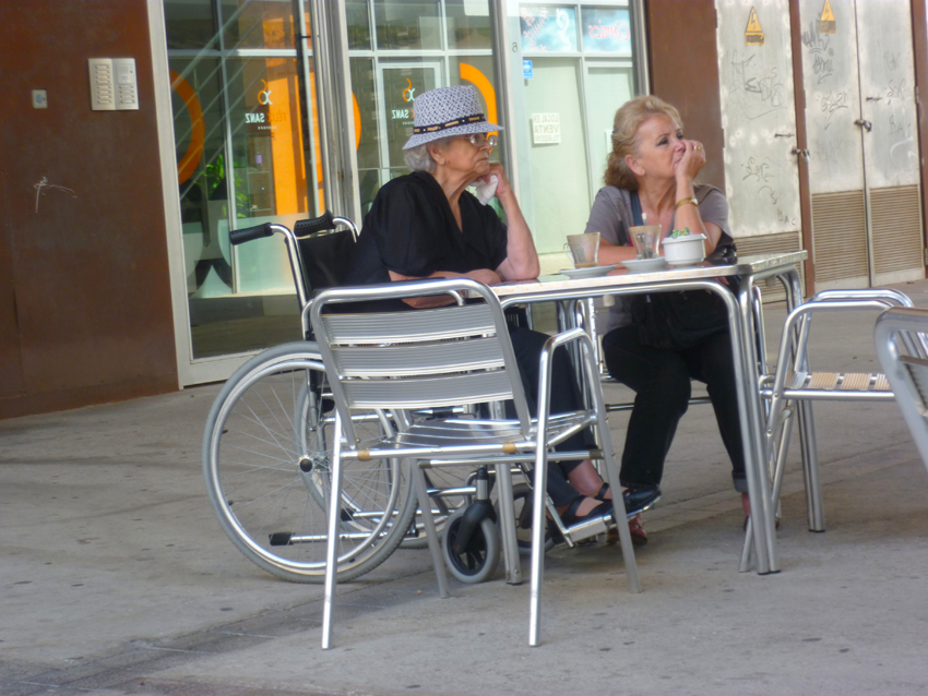 Seems they did not win the Lottery….
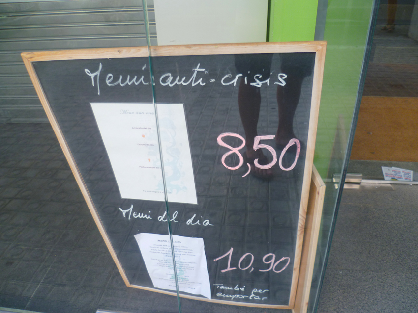 If this does not work out, there is still the ‘MENU ANTI CRISIS’….
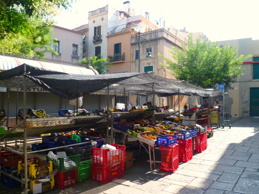
We skipped this opportunity to have another dinner…:-)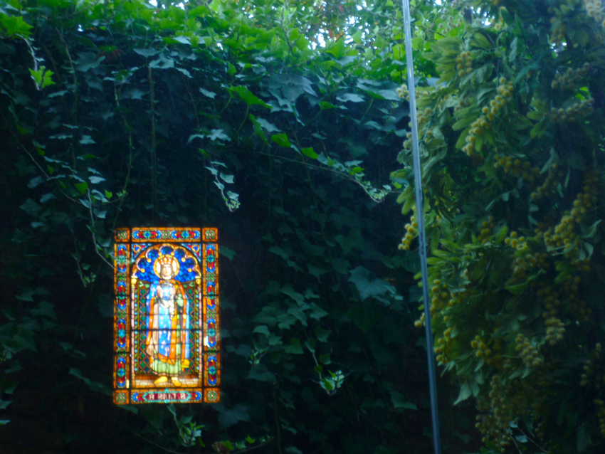 hopping through town we visited some churches and the market
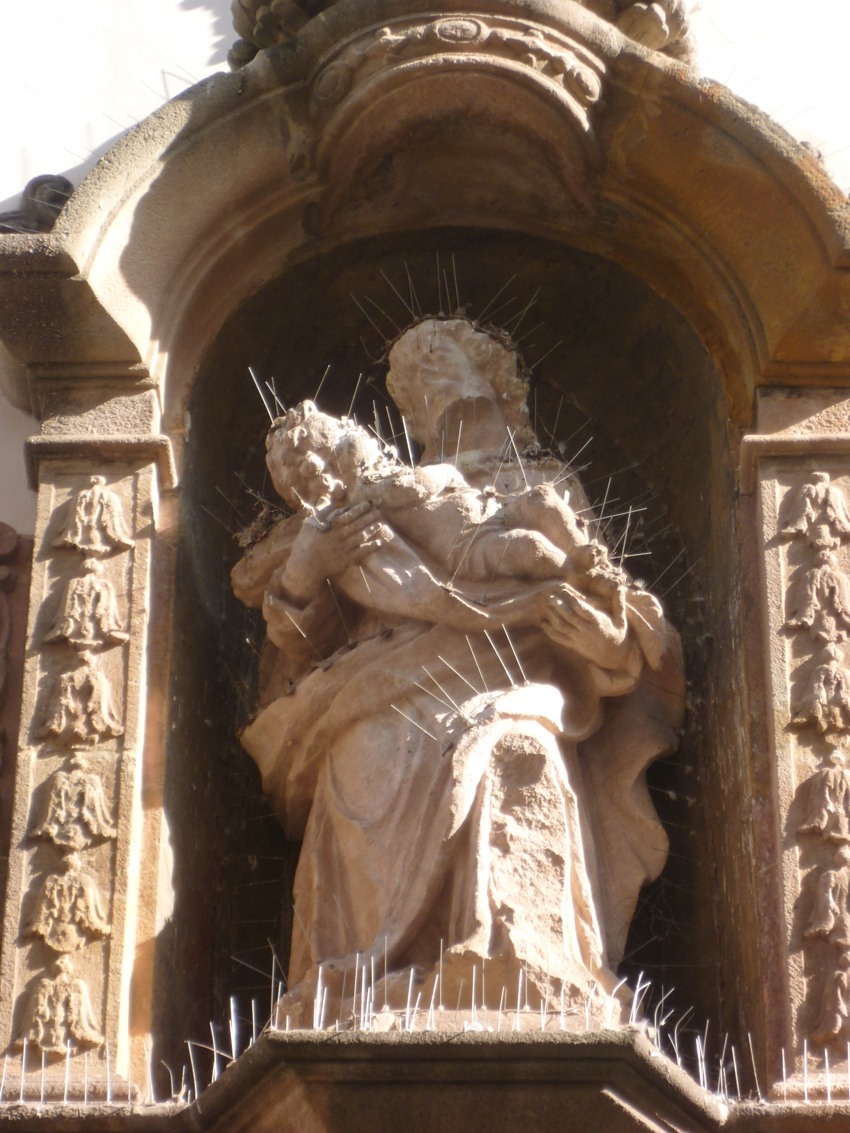
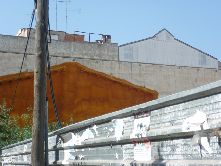 discovered a nice conceptual Artwork, not made by purpose unfortunatly
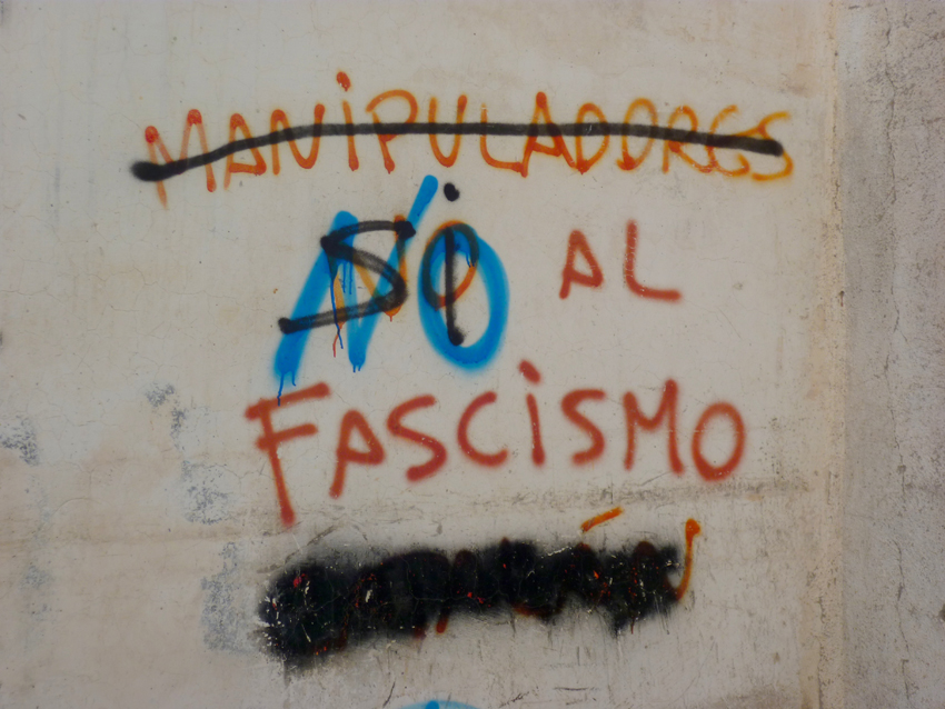
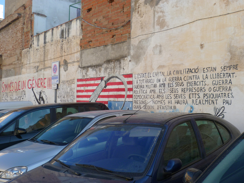 and naturally some political slogans on the walls…
From Mataro we went to Cala de Sant Pol, near Sant Feliu de Guixols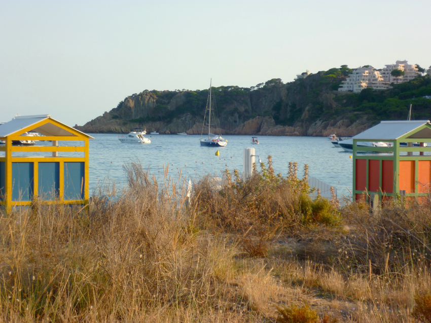 Esprit de Co(r)ps anchoring in the bay of Cala de Sant Pol
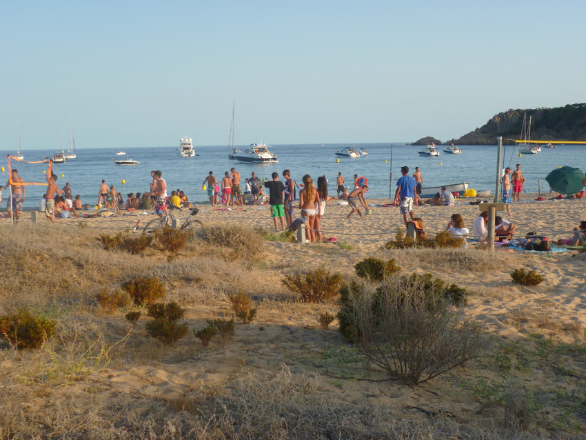
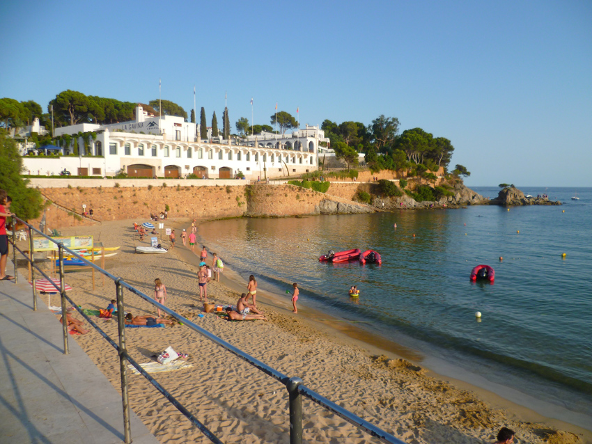
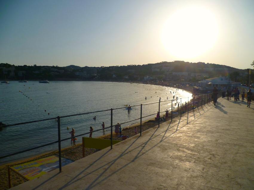 A Scope of the bay, left and right
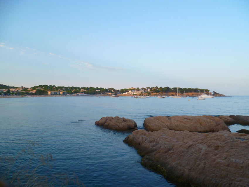
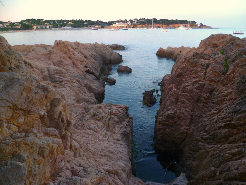
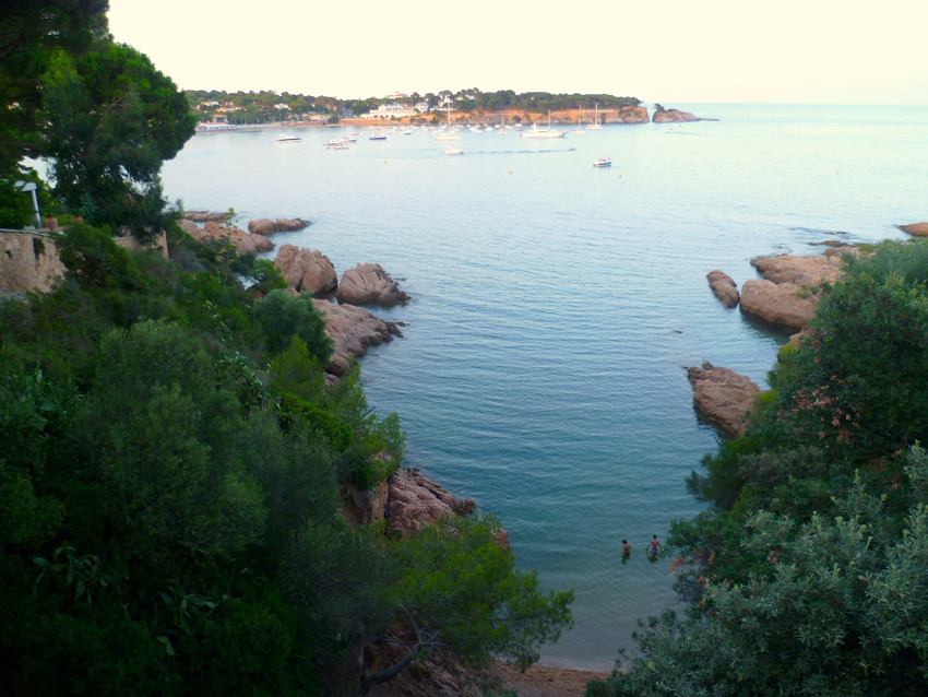 And some views of the bay during a walk alongside the coast
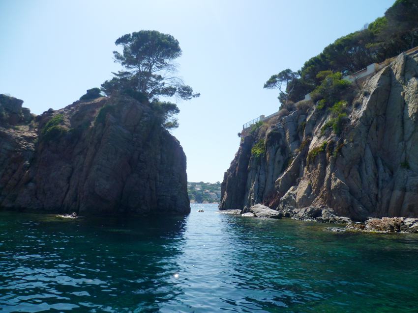
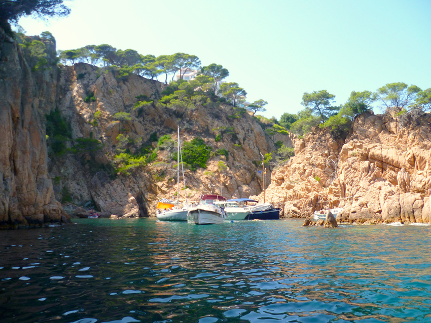 On a trip in our dinghy we discovered boats anchoring everywhere, in clusters
looking down in the water, a clear watch is very needed, as there are rocks everywhere…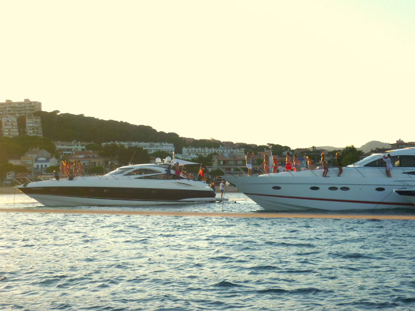 When we went back to our boat it seemed that the neighbours were celebrating, they invited some (lots of) bunka bunka girls; reason for us to go ashore and have dinner…
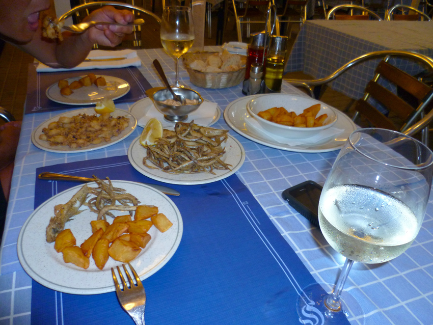
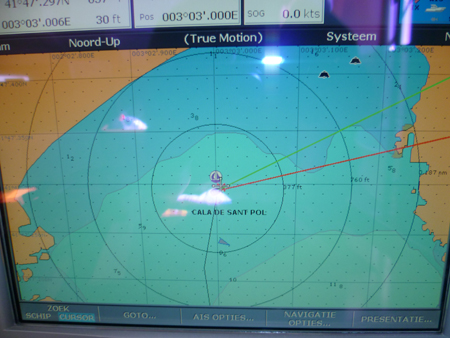
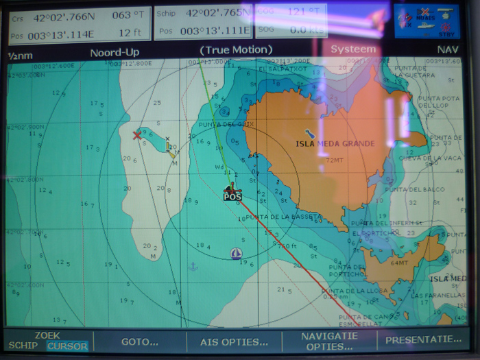
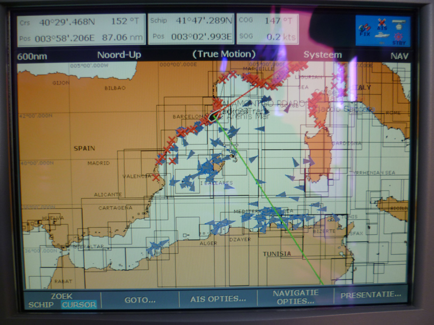 after two days we left further North, just before we left I aw this Picture on my plotter.
As you can see, the AIS system reports ships up to Martocco, Tunesia and Sardegna…We visited Cala Castell, Cala S’Alguer and Cala Fosca, we anchored two days there on several spots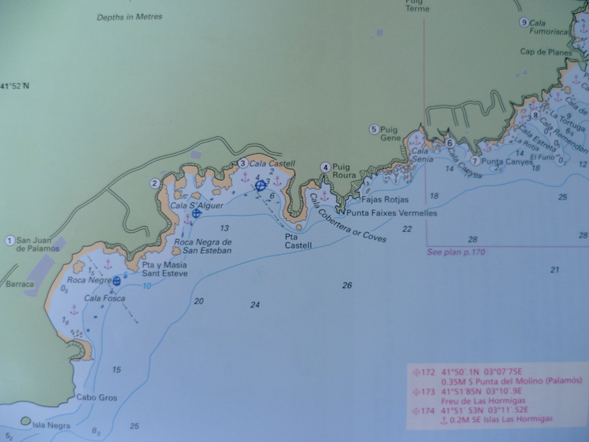
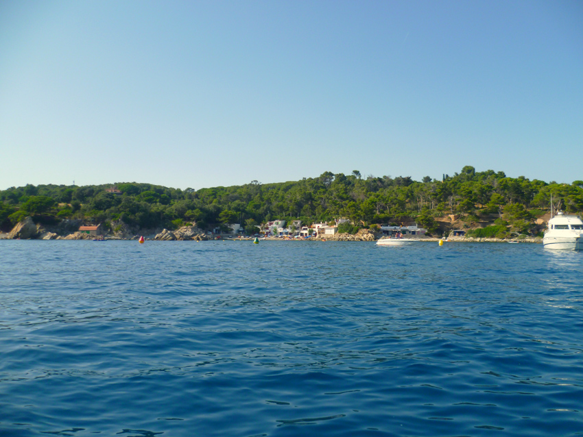 Cala S’Alguer
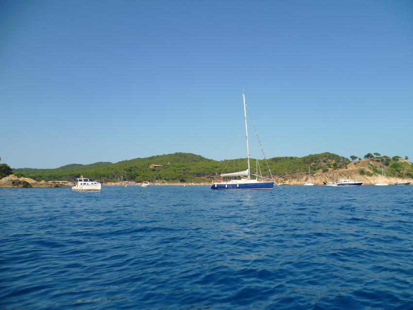 Cala Castell
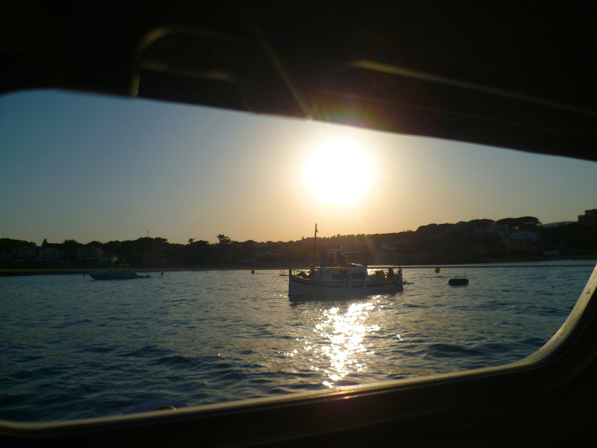 Cala Fosca
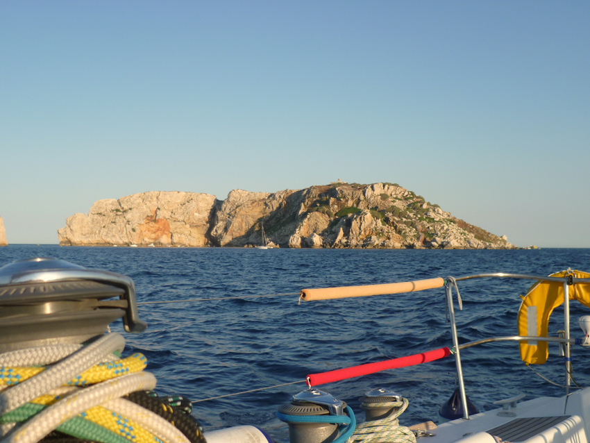
 From Cala Fosca we went to Islas Medas, Isla Meda Grande
Islas Medas is a Marine Nature Reserve, great for snorkeling and Diving. The Medas Islands is an unforgettable experience, and one of the most beautiful diving spots in the world. It is included in many diving guides because of its attractive location and its easy access and attractive aquatic fauna. 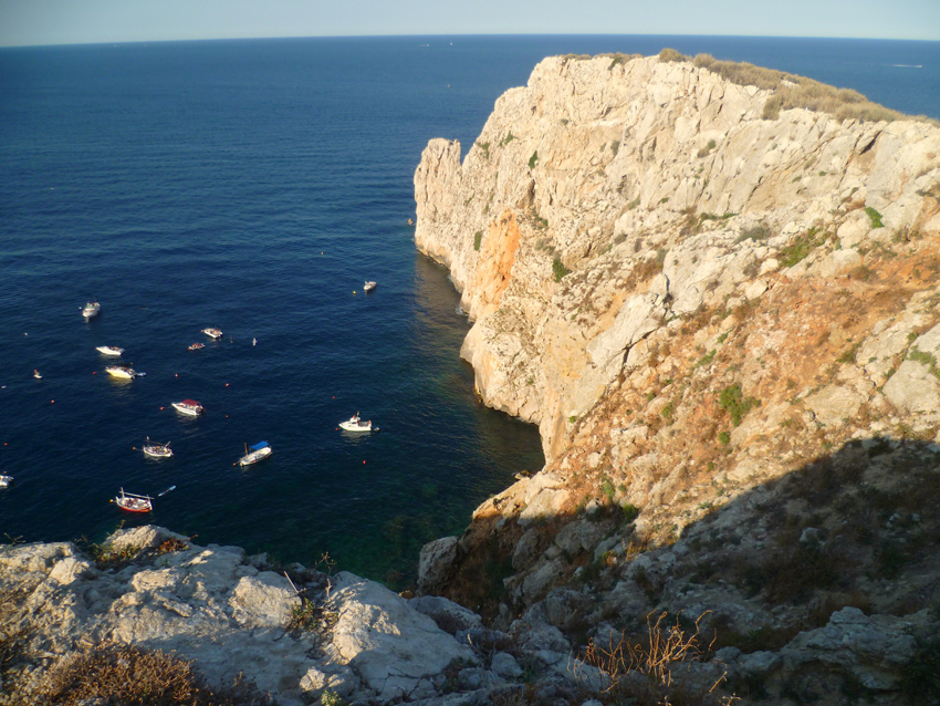 here one of the favourite diving spots on Isla Meda Grande
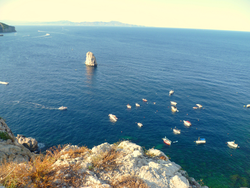
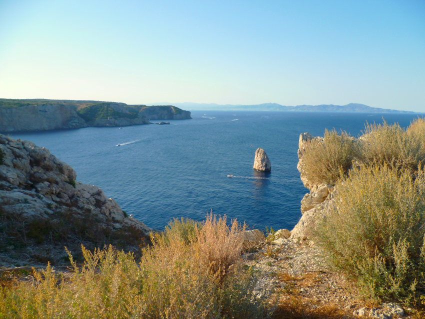 A view from the Isla Meda Grande to the North with on the horizon Cabo Creus
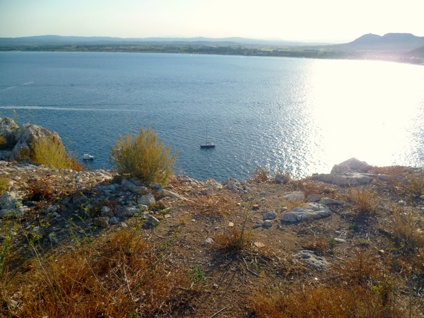 Looking West, below the Esprit de Co(r)ps, on the right El Estartit
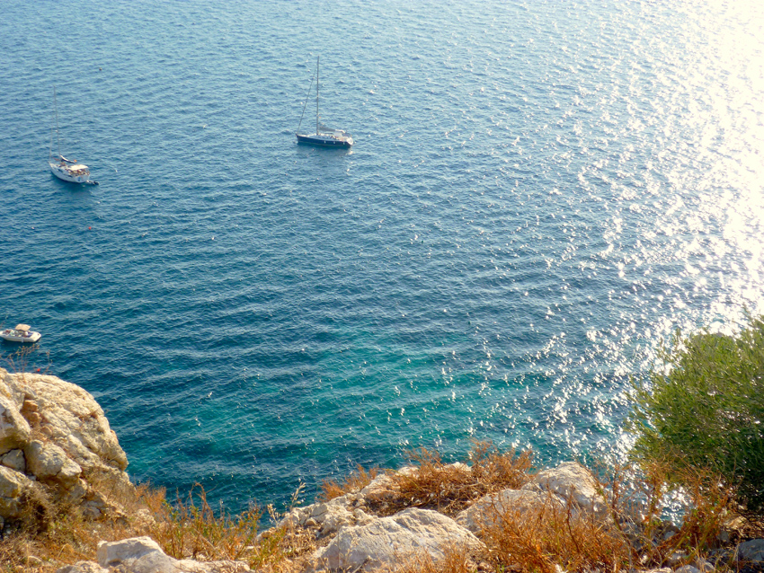
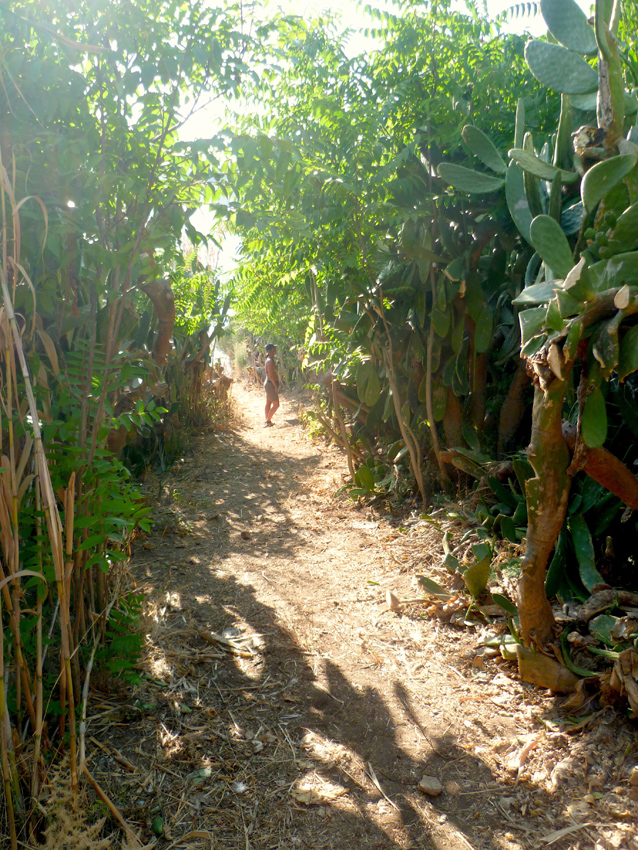 walking up the Isla Meda Grande you will find huge Cactusses
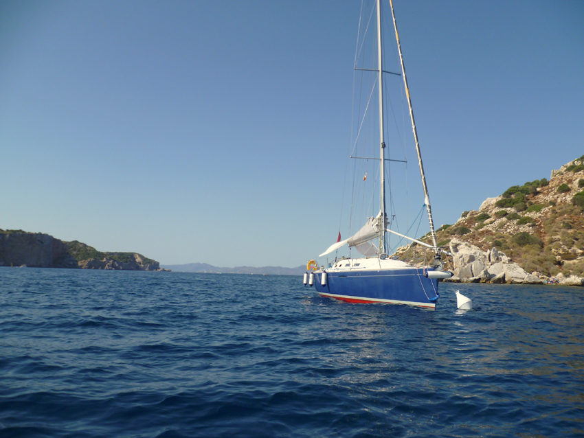 The Light Characteristic of Isla Meda Grande is following: Flashing (Fl) 4 White / W
Interval of Flashing: 24 s Focal Height: 87 m, in summer there are mooring boys, anchoring is prohibited!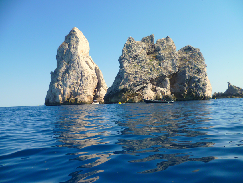
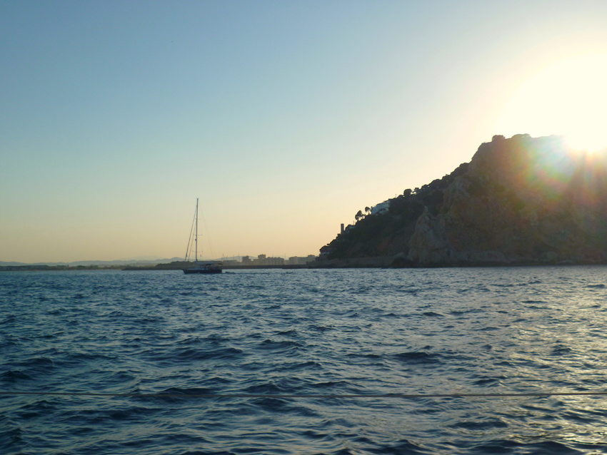 El Estartit seen from the East, on our way to Cala Montgo
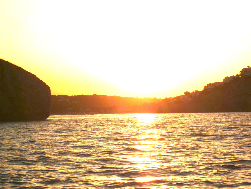
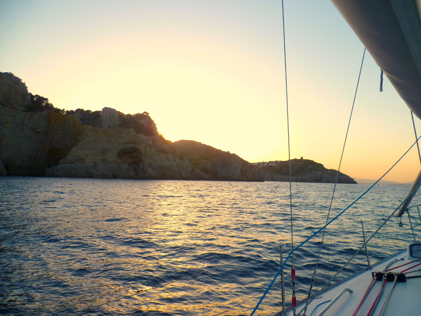 the entrance of Cala Montgo, just before sunset
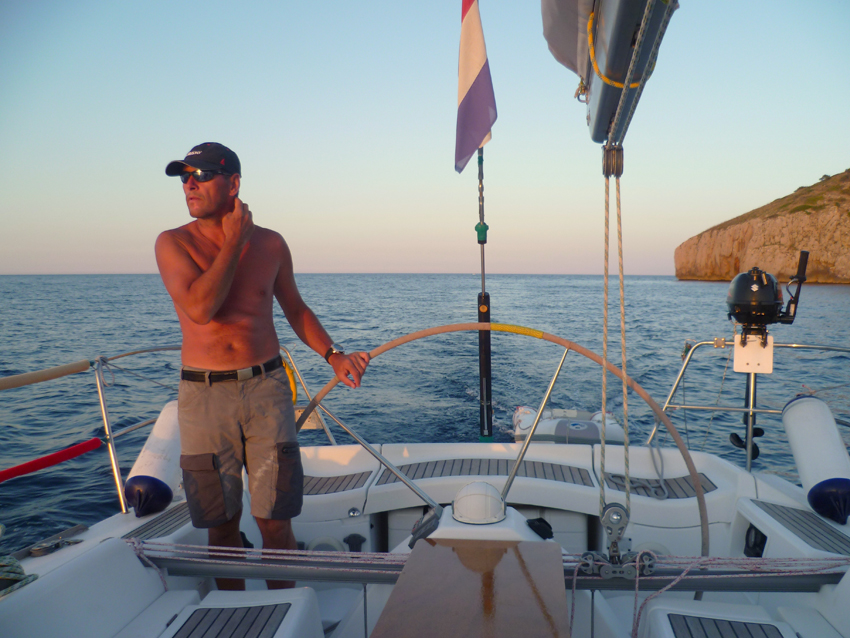 prepare for two anchors, as there was a nasty swell in the Cala, it looks flat, but it kept a lot af sailors awake that nigth… We were okay in the corner with our bow towards the swell, together with a smaller First 31.7 that had the same strategy…
 the next day we left for Cap Bear / Port Vendres
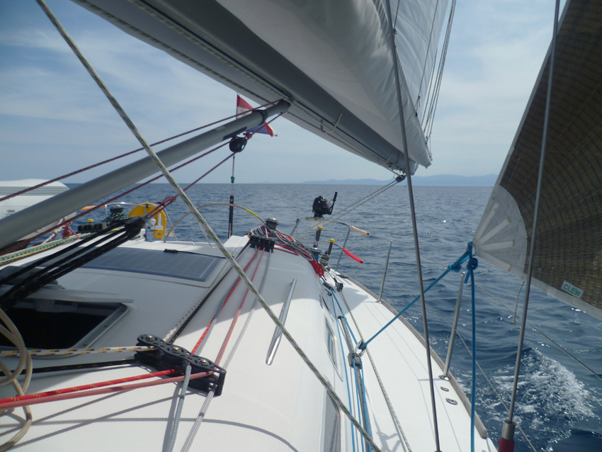 Between Cabo Creus and Port Vendres, in the Background Cabo Creus
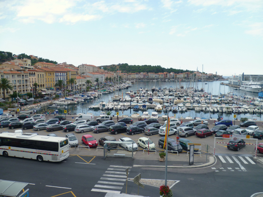 Port-Vendres (Catalan: Portvendres) is a commune in the Pyrénées-Orientales department in southern France. A typical Mediterranean fishing port, situated near the Spanish border on the cote Vermeille in south west France, Port-Vendres is renowned for its numerous fish and sea food restaurants. You can watch the fishing boats arriving with their daily catch. It is also a major marina in the region. Port-Vendres is one of the few deep-water ports in this part of the French Mediterranean coast. It takes freighters and cruise ships, as well as large and small fishing boats. The geomorphology of Port-Vendres meant that it developed in a different way from the nearby port of Collioure. Whereas Collioure has two beaches which slowly descend into a relatively shallow sandy-bottomed harbour, Port-Vendres is deeper and rockier. Collioure and Port-Vendres have therefore been used for different purposes – Collioure for small commercial ship and Port-Vendres for larger vessels.
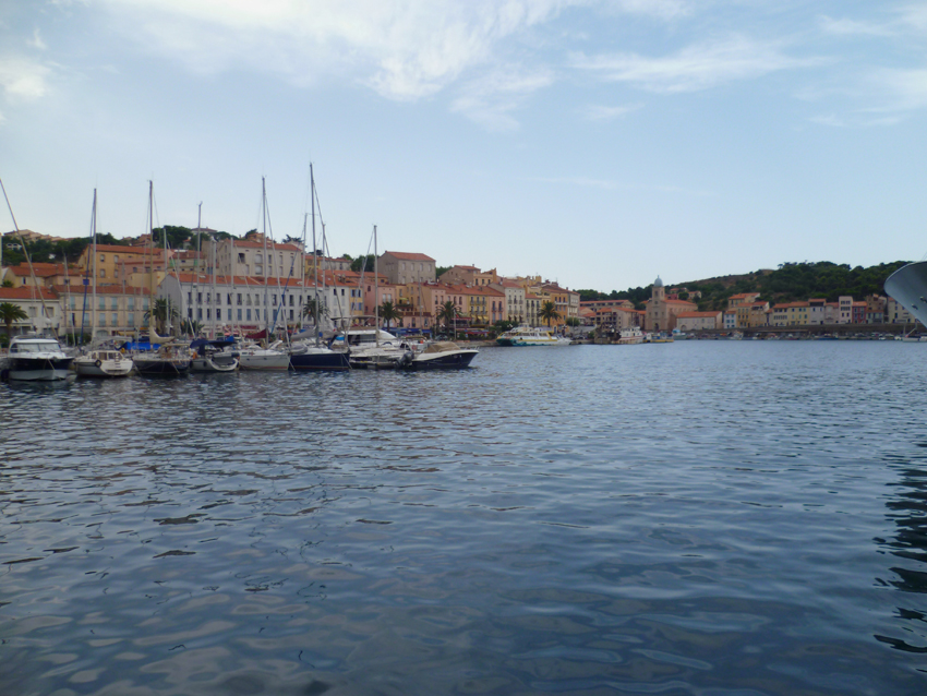 Port-Vendres takes its name from Portus Veneris, the port of Venus, France’s last deep-water port, situated on an attractive rocky coast at the heart of a traditional Catalan citadel whose port activities keep it buzzing with life all year round. Port-Vendres marina is a greatly appreciated stopover for lovers of ocean navigation. It provides good shelter from sea and swell.
The strongest winds in this vicinity are those from the NW, E, and SE. Storms often accompany strong E and SE winds. The high hills, which rise abruptly near the harbor, generally shield the area, but strong NW winds sometimes sweep through the gap in these hills and hinder navigation.
Off the port, the general set of the current is SE and it may attain a velocity of 5 knots after a long period of strong N winds. Even with strong winds against it, a velocity of 2 knots may still be maintained. However, the effect of the current is not felt more than 1 or 2 miles seaward of the harbor.
Mole Abri, a breakwater, extends 250m NW from the shore. The harbor is entered between the head of Mole Abri and Pointe du Fanal, 300m SW.
A yacht basin is situated in the S part of the harbor.
There is 798m of total commercial quayage, with depths of 6 to 8m alongside, and facilities for ro-ro vessels. Vessels up to 155m in length and 8m draft can be accommodated.
The harbor lies at the foot of the E ranges of the Pyrenees, and vessels approaching from seaward in fine weather can distinguish these mountains from a great distance. The coast to the N of the harbor is low and flat.
Prominent landmarks include Fort Saint-Elme, which stands on a hill 0.5 mile W of the harbor, and Redoute du Fanal Light, which stands on the W side of the harbor entrance.
A lighted range indicates the entrance channel. The front mark, which is difficult to distinguish by day, is a red pillar on a white base. The rear mark is a square tower with a red roof bearing a stripe in the middle, with red and white squares.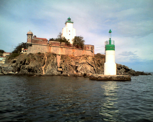
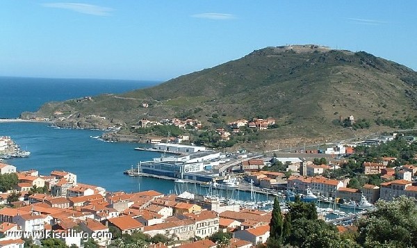
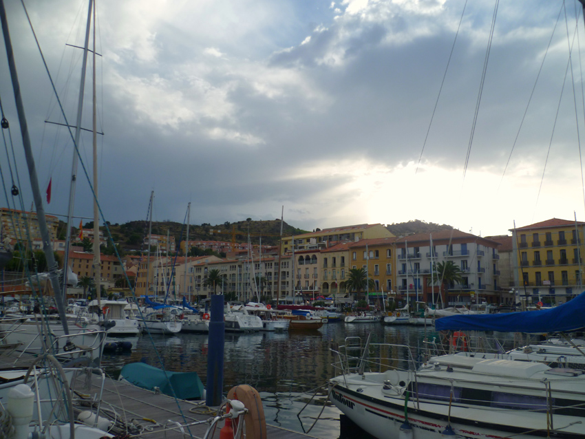
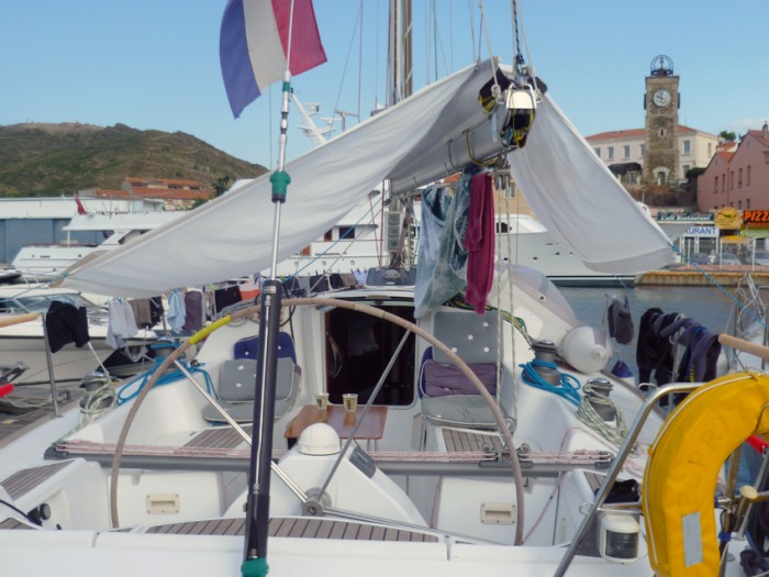
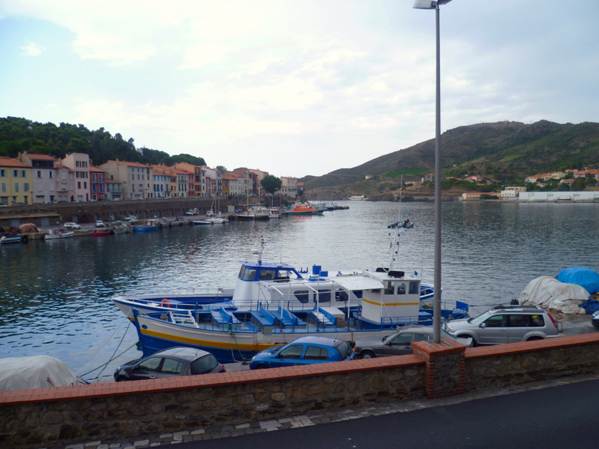 the next day we went for a walk to Cap Bear lighthouse and the next bay, a well sheltered bay for anchoring, (even under Mistral)
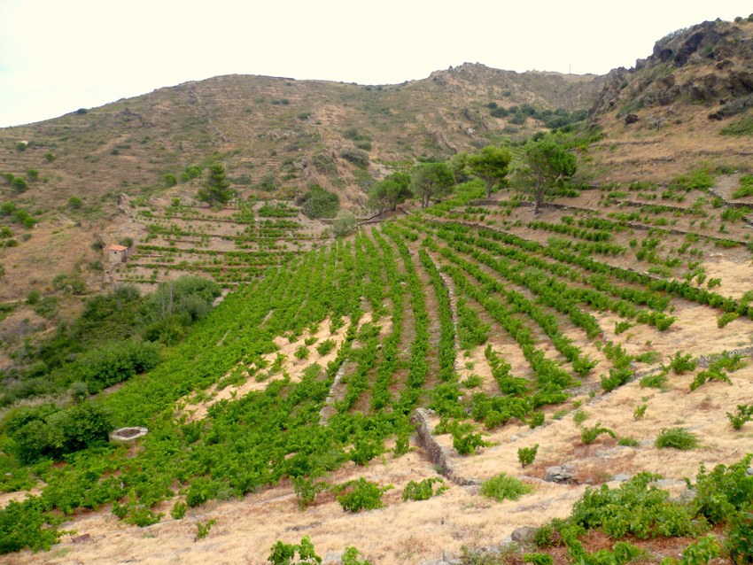
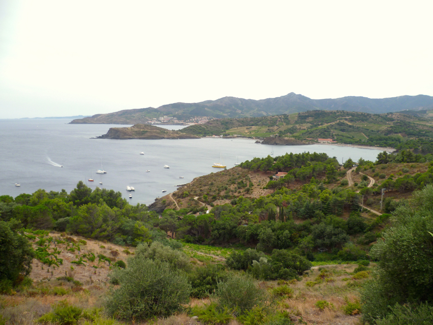
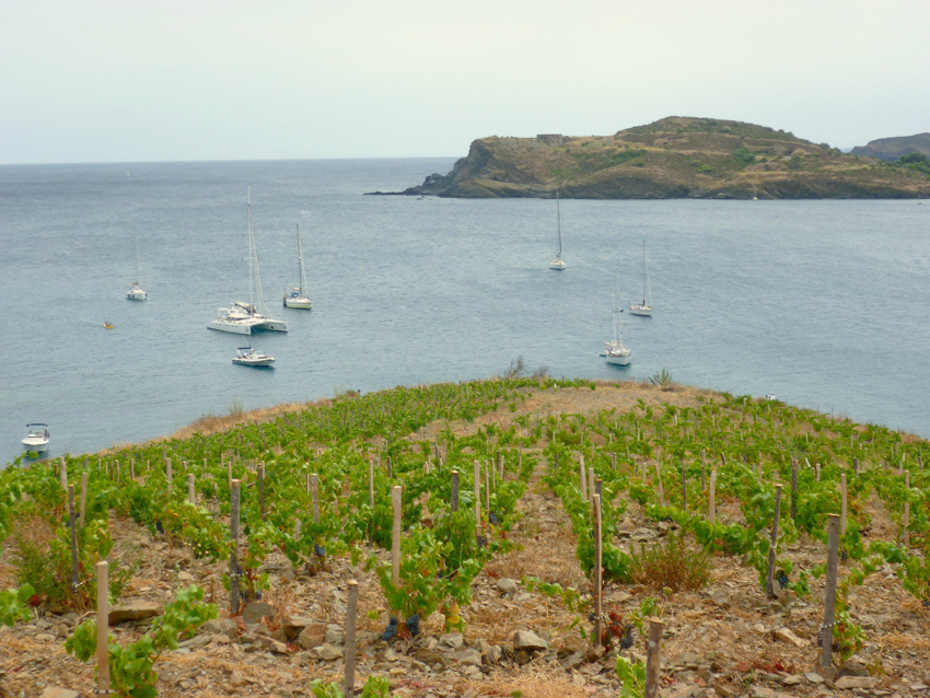
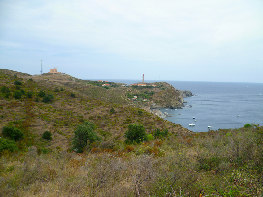
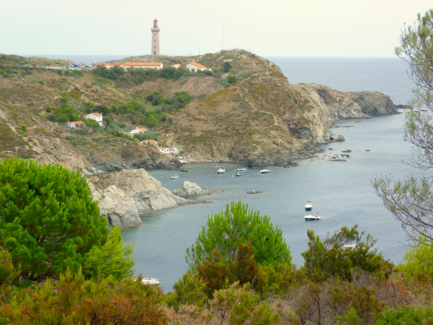
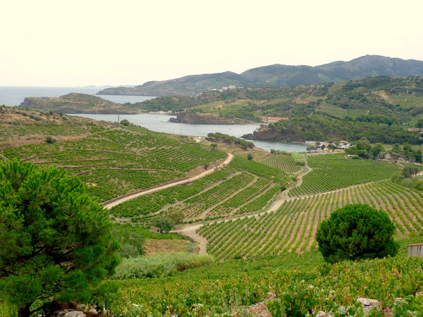
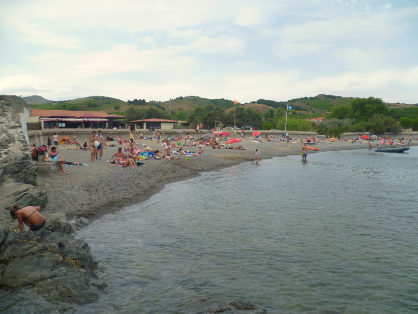
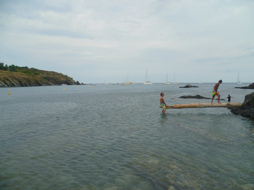
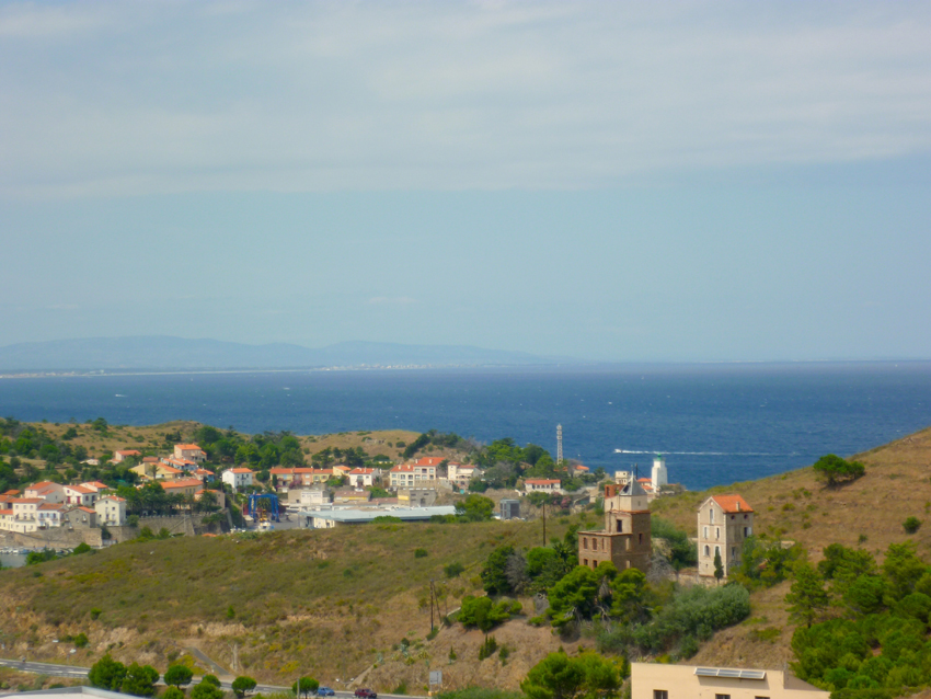 Port Vendres looking North towards Monts Roussillon and Cap Leucate
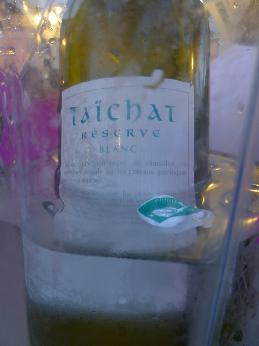 this walk made a nice White Local Wine, a Taichat a nice treat, before…
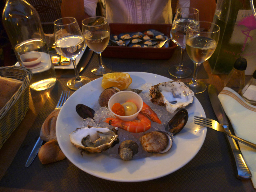 yes…sea food!
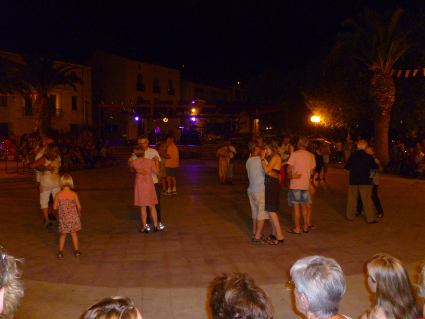
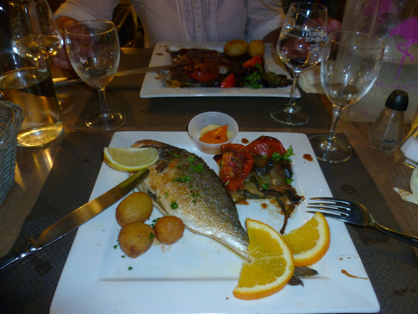 after a nice dinner we visited a local party
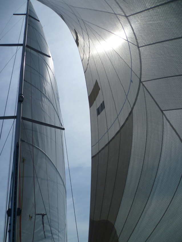 Heading for Cap Leucate-La Franqui
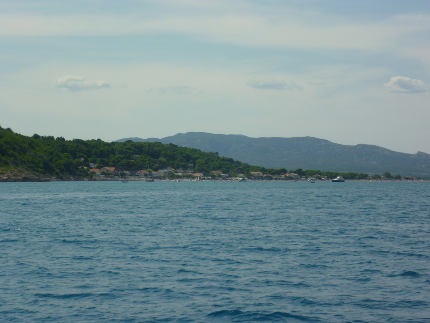 La Franqui lies just around the corner of Cap Leucate. In good winds this is one of the rare spots in this area where you can anchor (not in a Mistral). Also it is open to the sea, so depending on swell (houle) it can be unconfortable…
Sometimes it is also possible to anchor off Cap Leucate, but also for that you need good conditions, otherwise go Port Leucate, a few NM South of Cap Leucate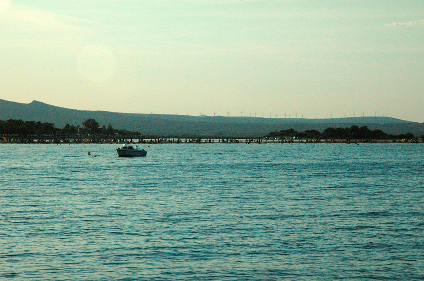
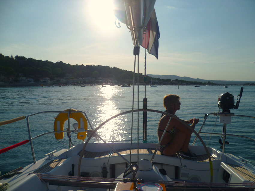 Time to relax..
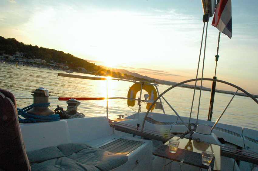
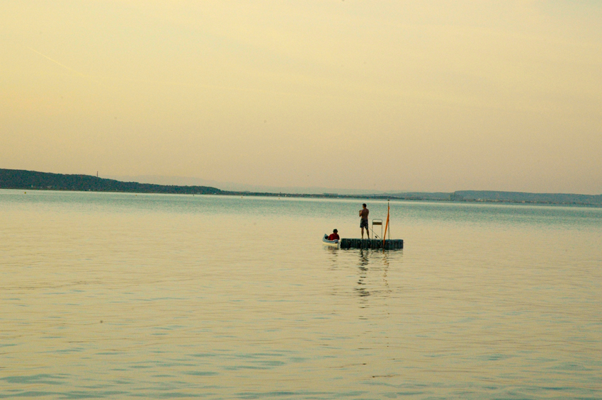
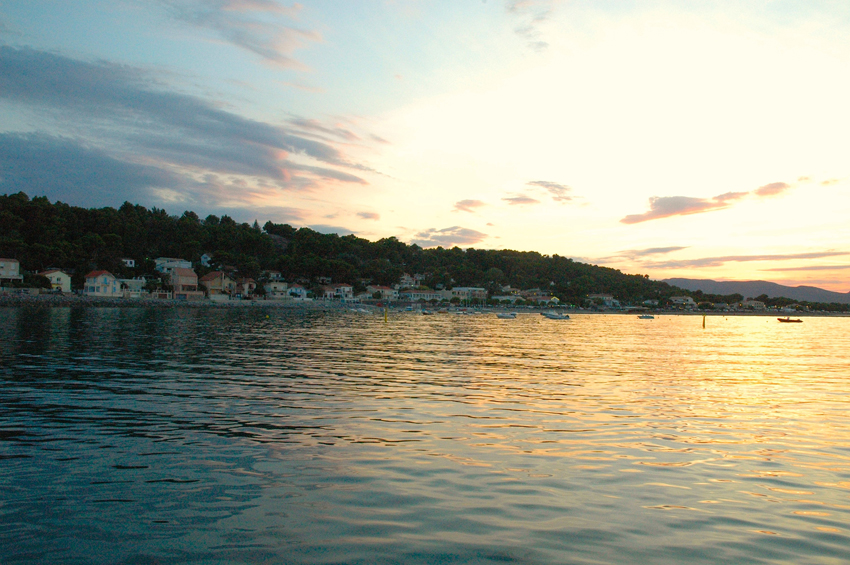
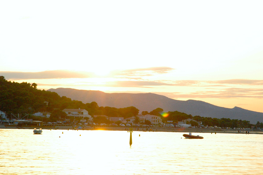
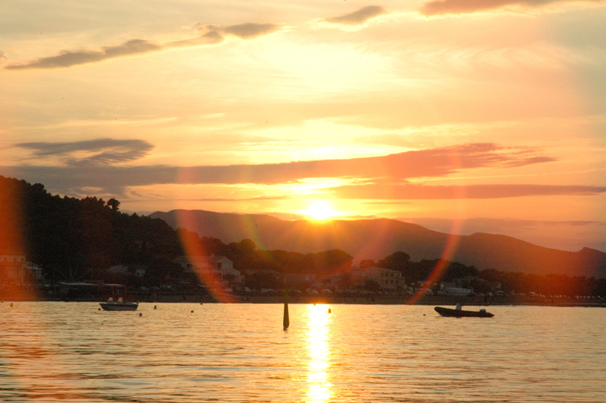
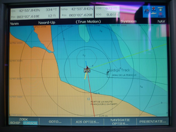 we had a quit night just off the shallow sandy part in the bay
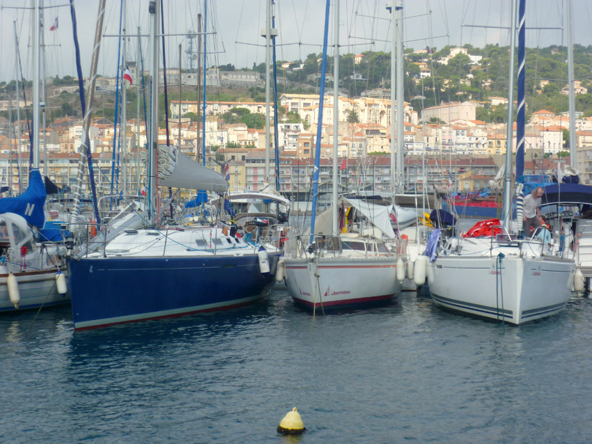 On our way back we stayed in Sete again, here the Port Saint Clair with Mont St. Clair in the back
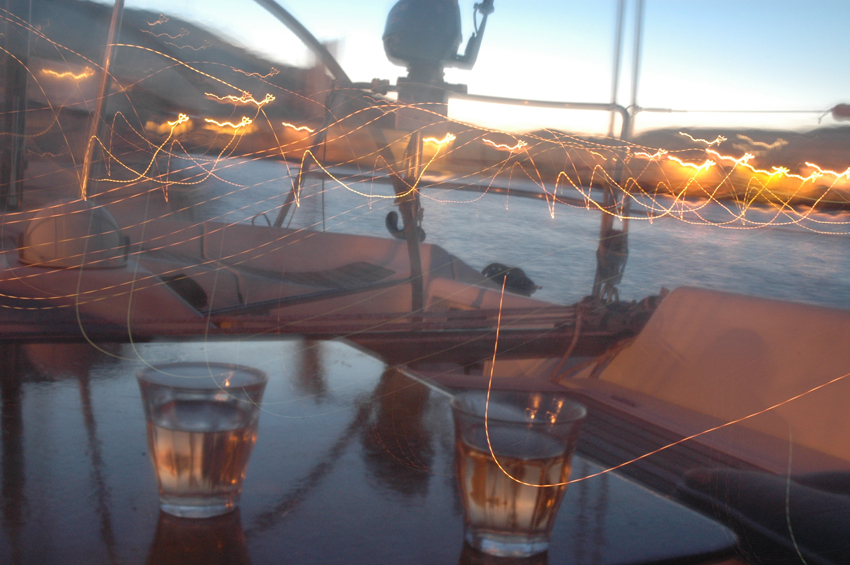
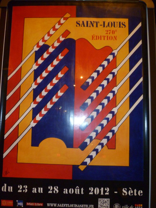
We were there just before the annual Fete Saint Louis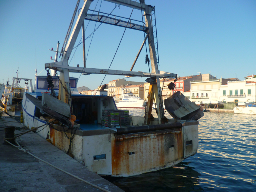
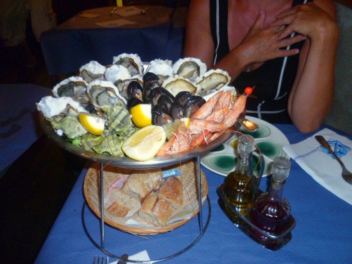
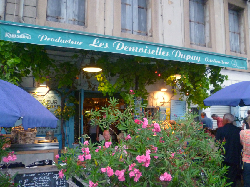 Our favourite Restaurant in Sete, Les Demoiselles Dupuy
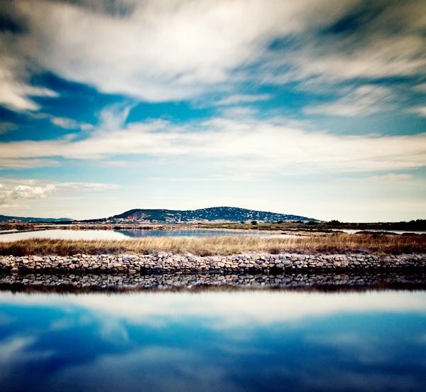 Sete, Mont Saint Claire seen from the West (Bassin de Thau)
 the next day we visited the Town of Sete a little
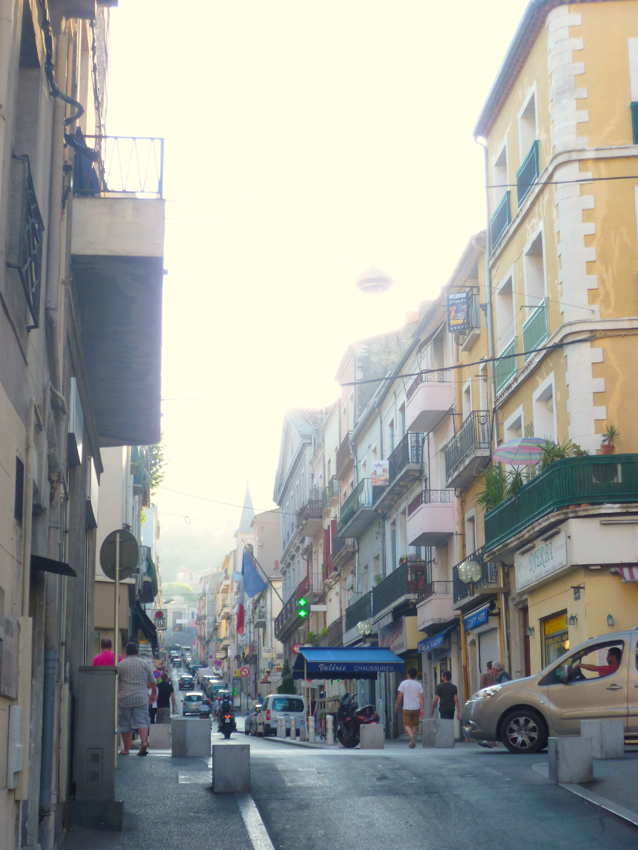
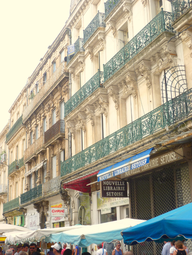
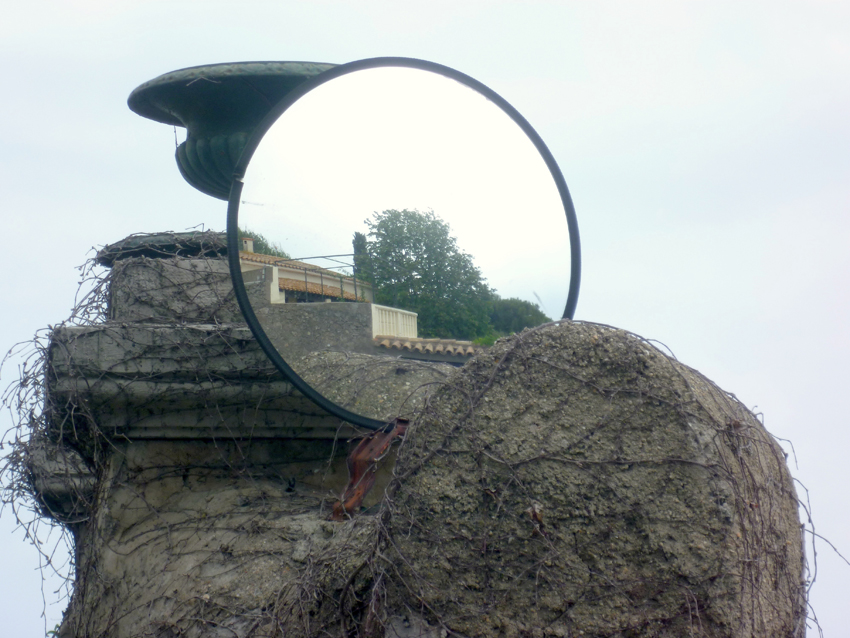
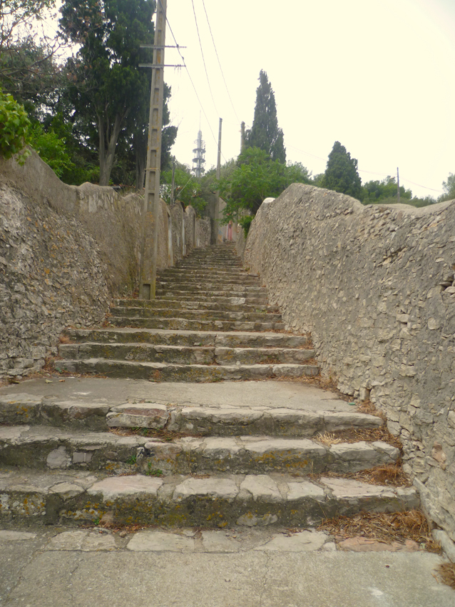 we decided to walp up Mont St. Clair that gives a wonderfull panorama over Sete and the Bassin the Thau
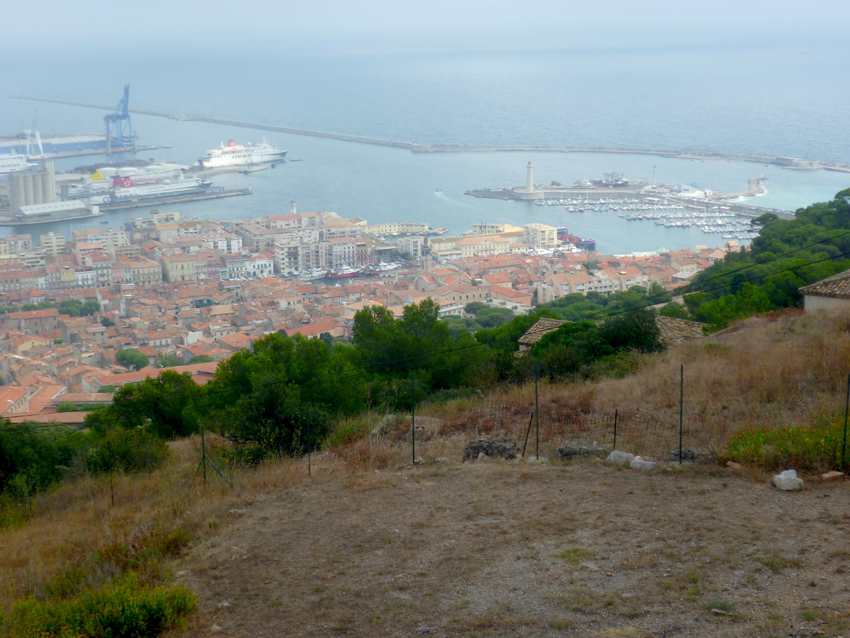 The Harbour of Sete and Port St. Clair seen from Mont St. Clair
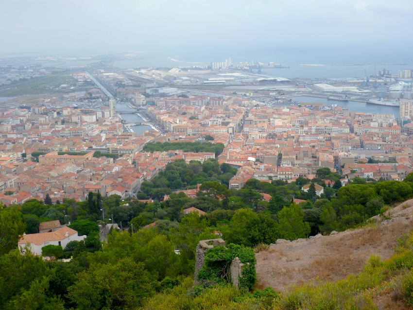 Sete (Center) and in the back Frontignan
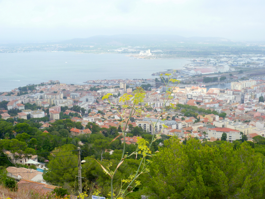
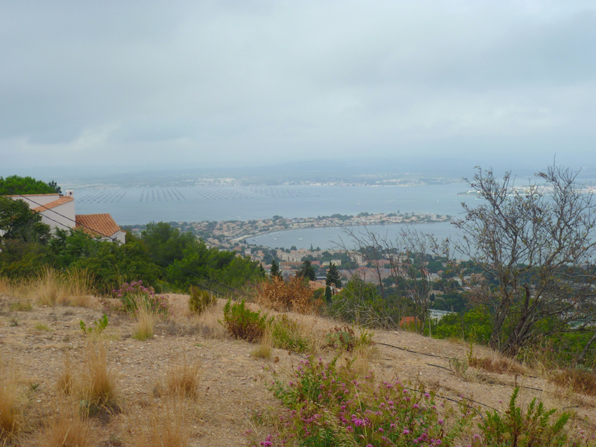 Sete looking from Mont St. Clair toward the Bassin de Thau on the left Meze with the mussels and oyster beds
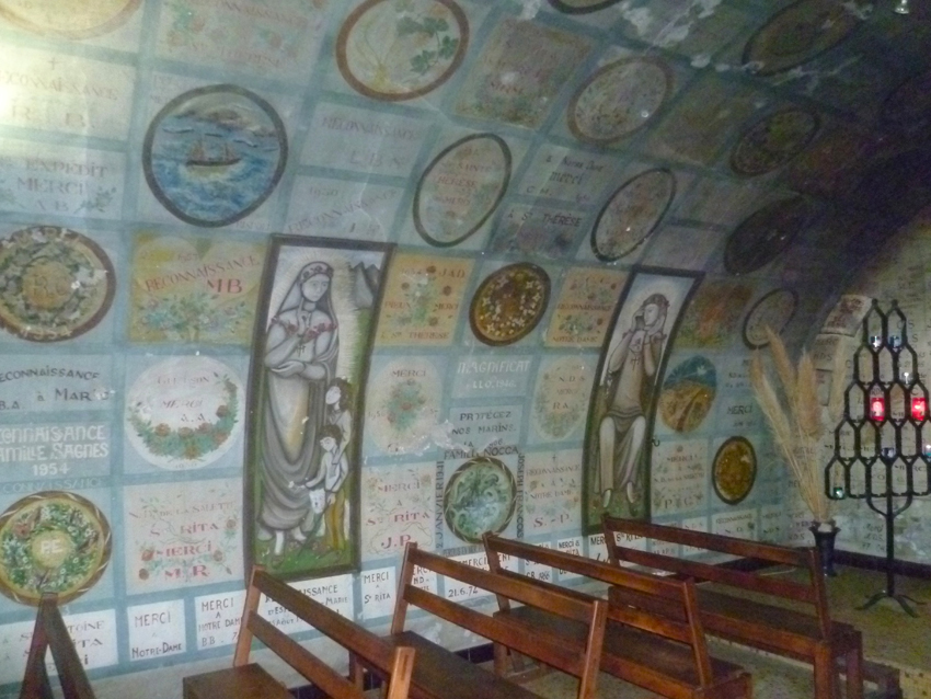 On top of Mont Saint Clair there is a nicely decorated little Chapel
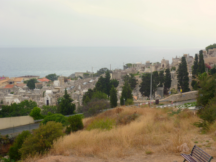 On our way down we took the road that lead via Cap de Sete, the famous graveyard, where also Poet Paul Valerie lies.
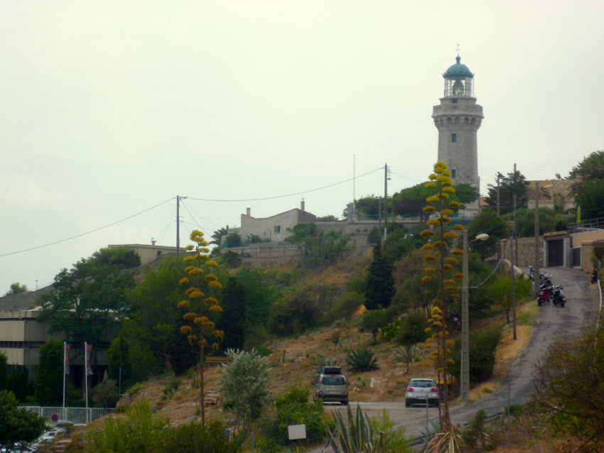 The graveyard lies just underneath the Ligthouse on the Cap de Sete, where the Museum is also situated
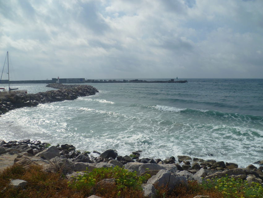 Back at the West Entrance of the Port de Sete, normally you enter there to go to
Port St. Clair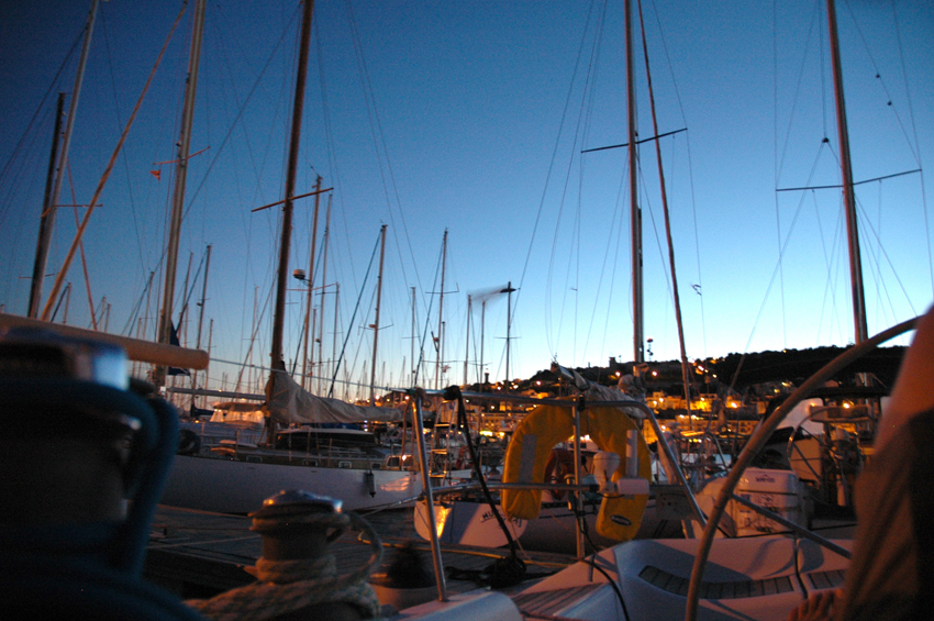
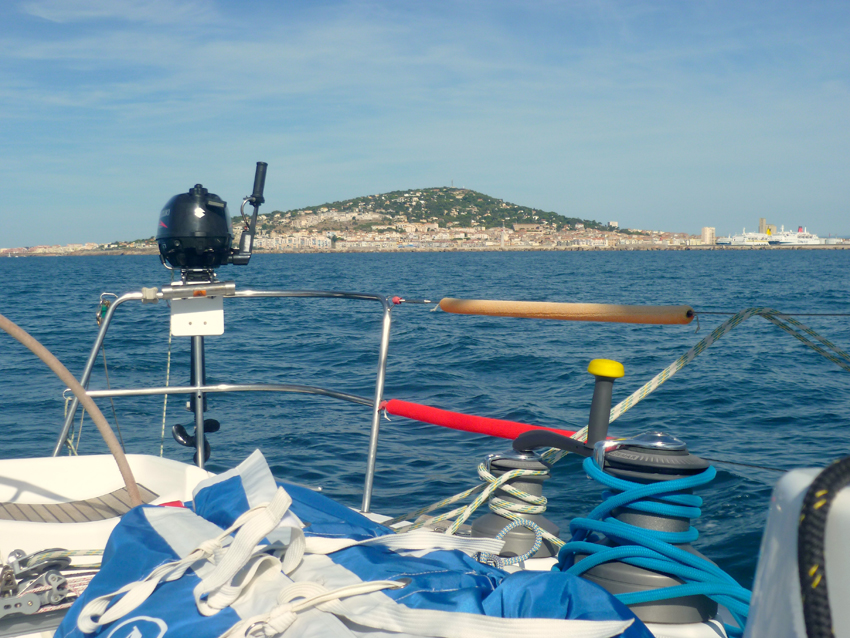 Mont Saint Clair seen fron the East on our way to Les Saintes Maries de la Mer
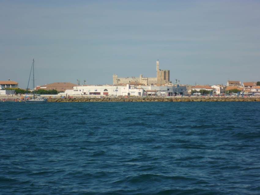 Les Saintes Maries de la Mer, seen from the South
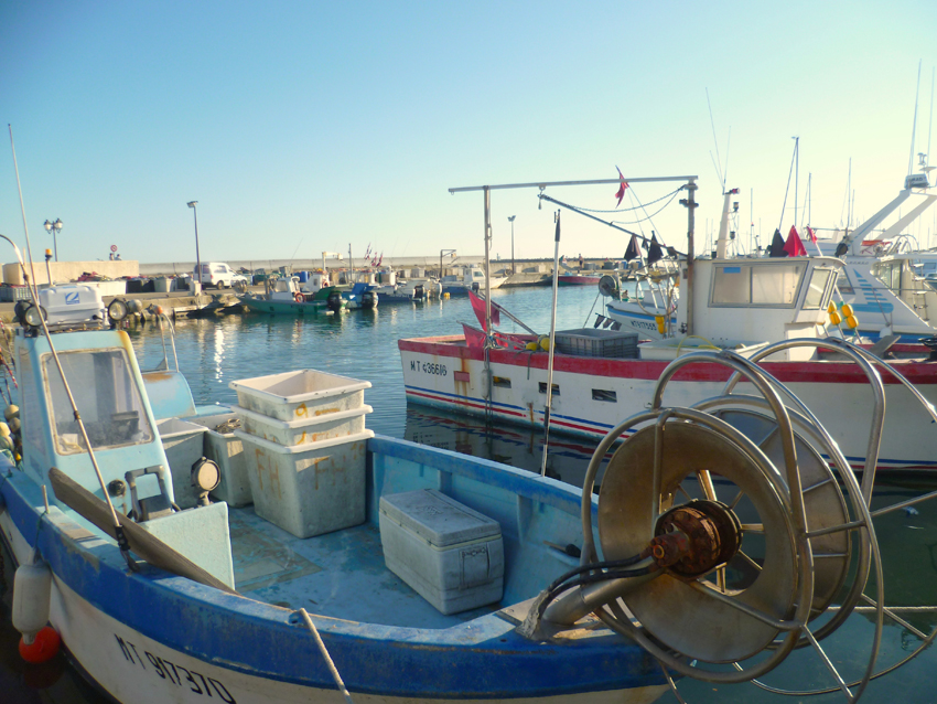
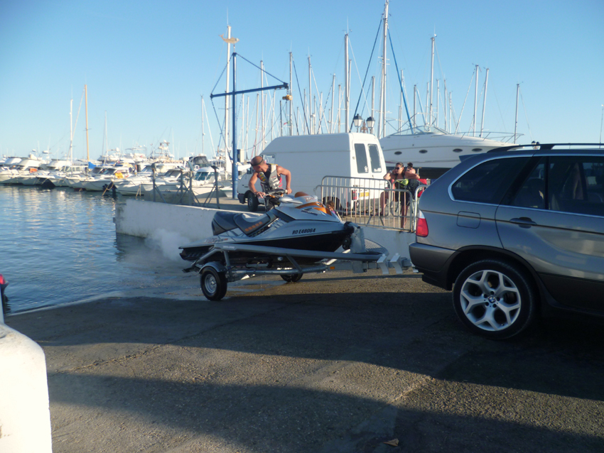
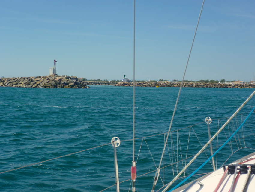 The entrance of Les Saintes Maries de la Mer, we got stuck in sand everywhere, 2.40 draft is a lot in these waters… In the end after finding almost all shallow areas in the entrance and the rest of the harbour we found a way through to get to our box. not recommended for repeat, especially not with more wind…..:-(
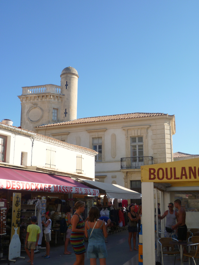 the City is nice, but don’t go there in August, the city is packed with tourists than
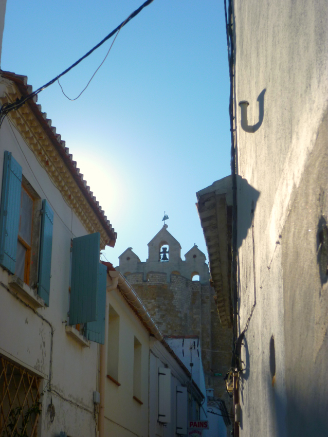
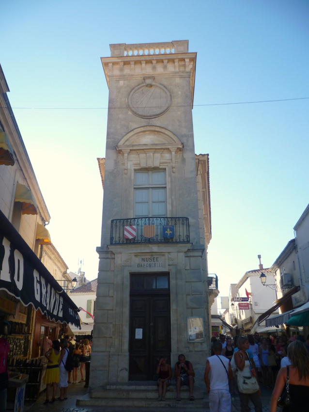
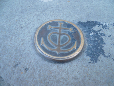 Nice details in the streets..
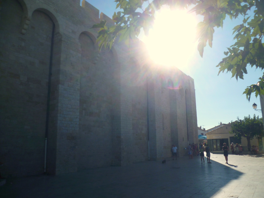
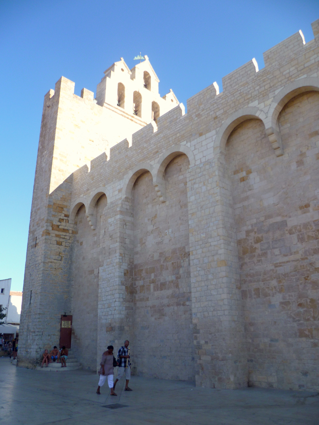 The famous Church of the two Saint Maries and the famous black Mary, guardian of the gypsies
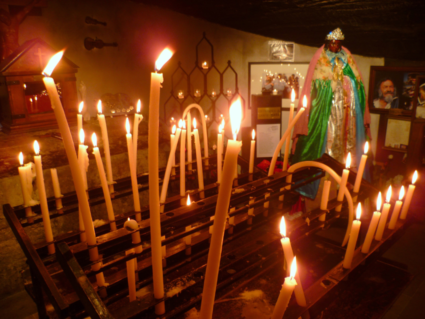 Inside the Church of Les Saintes Maries de la Mer, with a small sculpture of the Black Mary
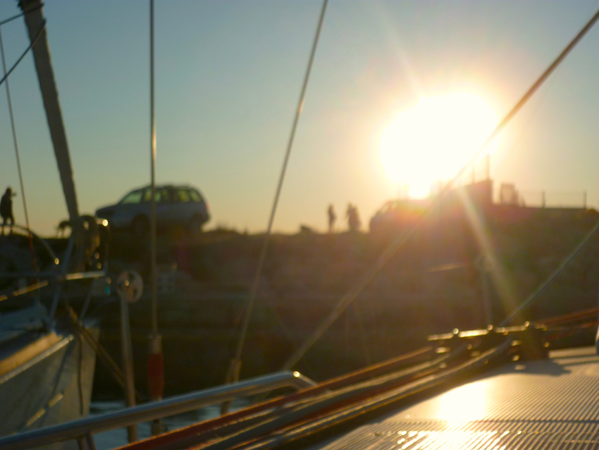
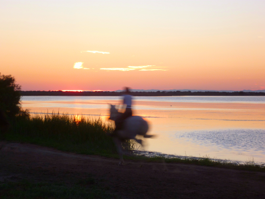 we decided to make a short walk to look at the sunset over the Camargue
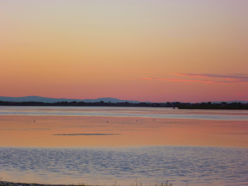
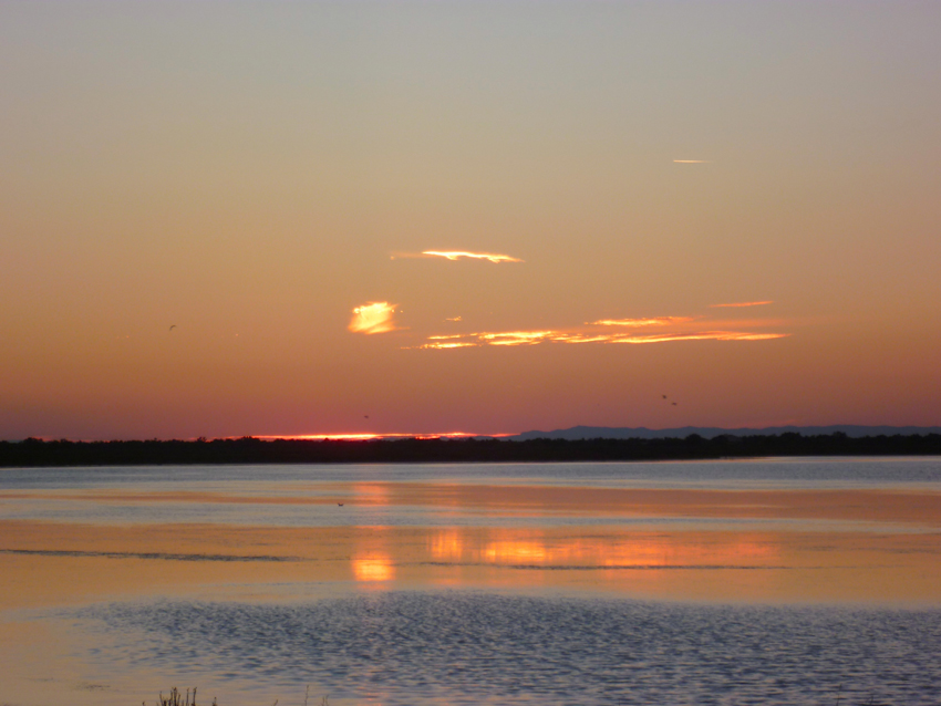
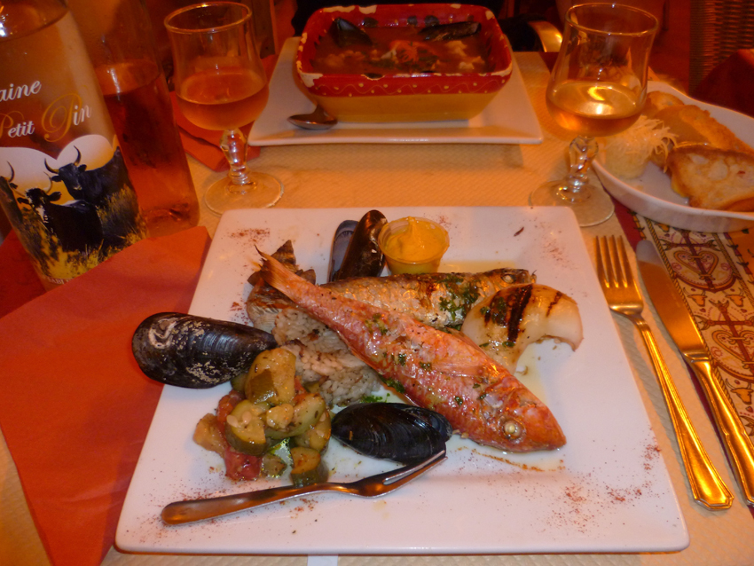 The last evening of our trip to Catalunya has arrived…
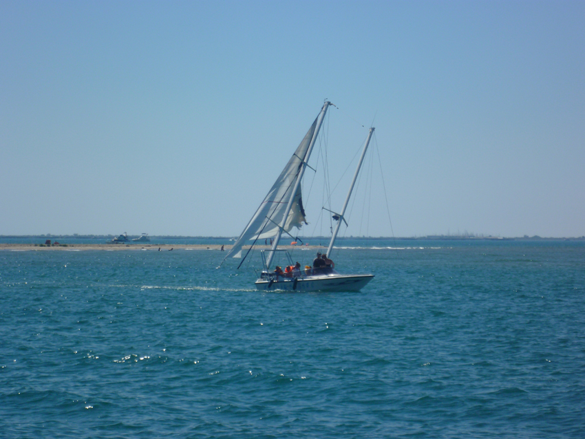 the next day we sailed back to Port Saint Louis du Rhone (Port Napoleon)
The earlier sunk boat (spring 2012) was still just of the They de la Gracieuse. Strange how such a bizarre spectacle can still give you the relaxed feeling of ‘homecoming’
for those who don’t want to end up like this
They de la Gracieuse is the low bank on the E side of the River Rhone, which extends 4.5 miles NE of the river mouth. Several stranded wrecks lie close to the shore of this bank. The bar at the mouth of the River Rhone advances about 50m seaward each year.
9.16 The coastal shoal off They de la Gracieuse is marked by lighted buoys moored about 0.5 mile N, 1.2 miles SSE, and 2.5 miles S of the NE extremity of the bank. In addition, Lighted Buoy GE, equipped with a racon, is moored about 0.5 mile E of the NE extremity of the bank.
Anchoring is possible on the W of the bank, but first you need to pass the bank, and not try a shortcut like the above boat…

