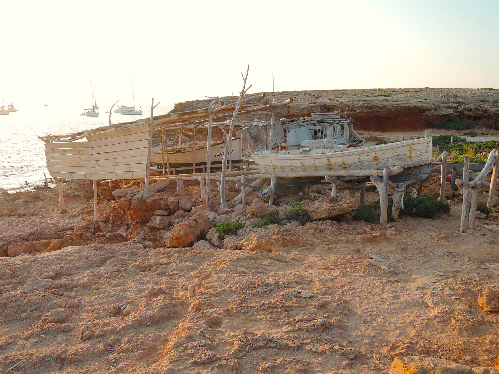
Balearic Islands, Mallorca, Menorca, Ibiza and Formentera.
Located just off the coast of Spain, and contain four major islands, as well as the minor outlying islands and islets, like Cabrera.
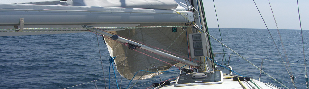
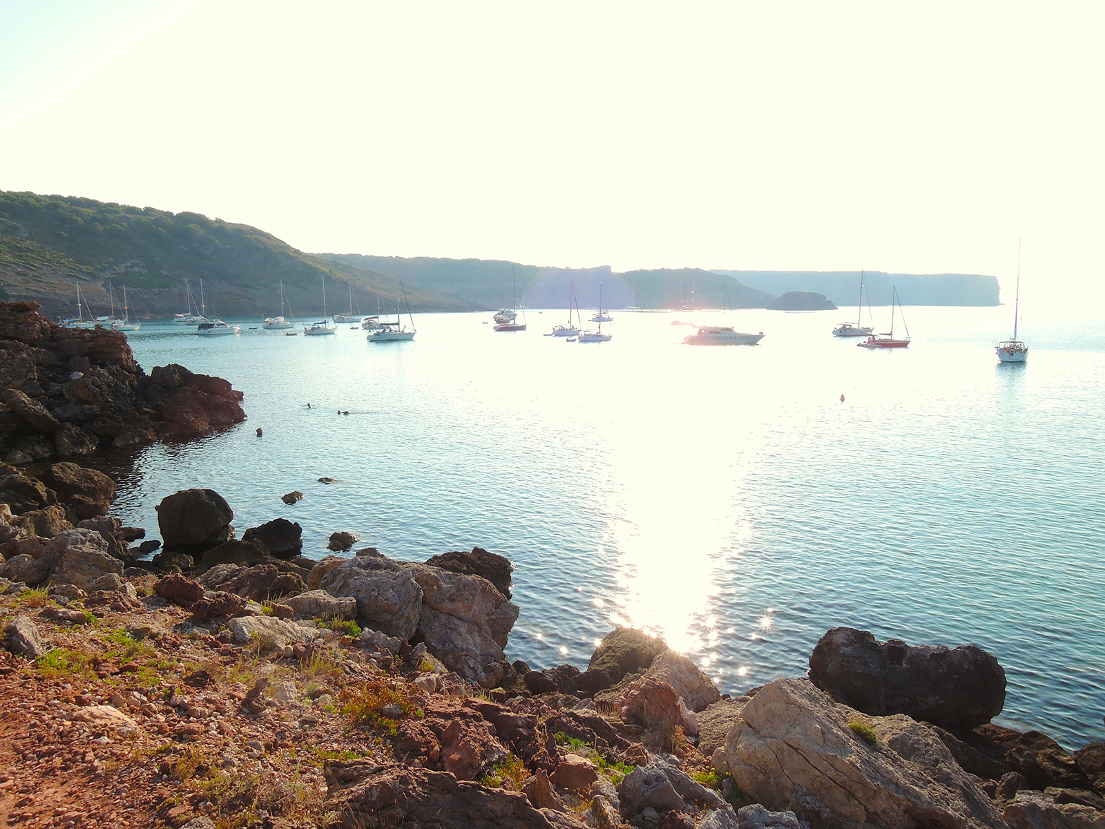
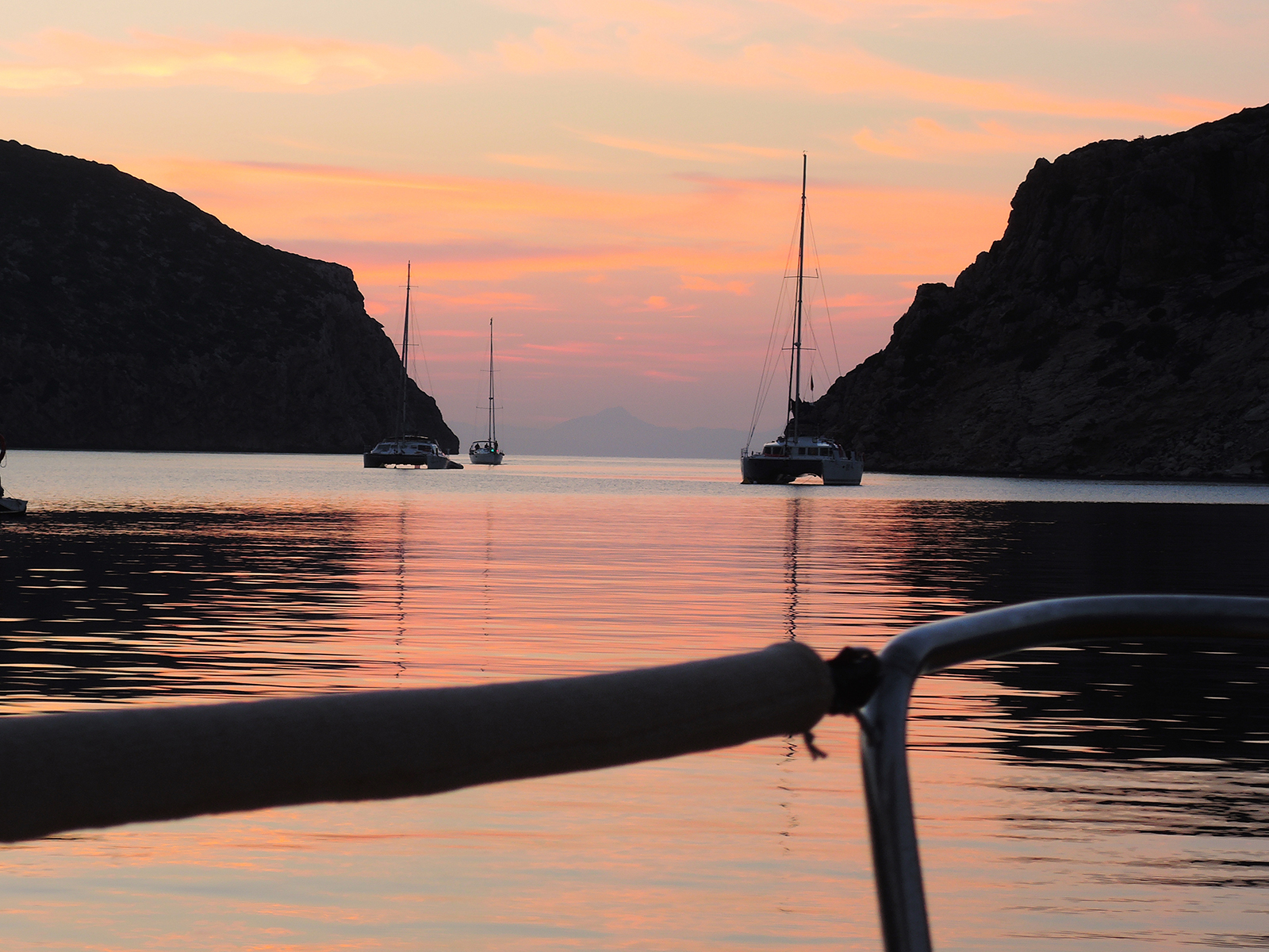
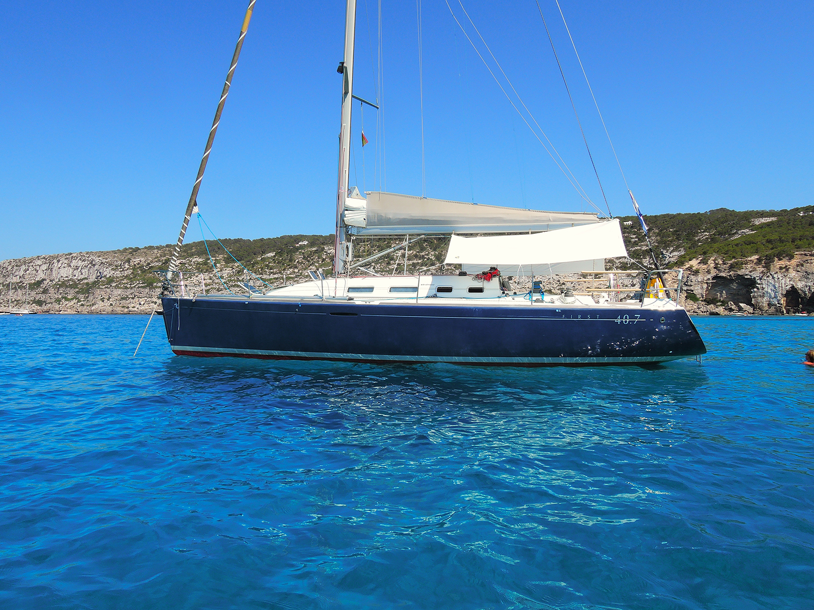
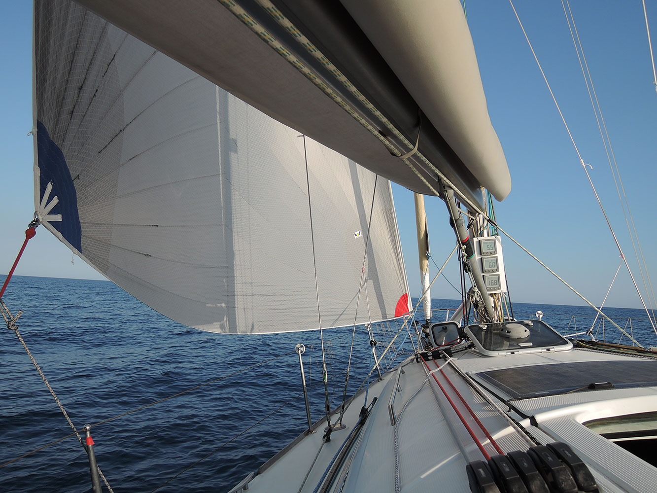 Underway from France South to Menorca with our new Code 0, with boat speeds higher than wind speed we don’t need much wind to make it into a good trip…
The largest of the four islands is Majorca.
Majorca is the second most populated island of Spain.
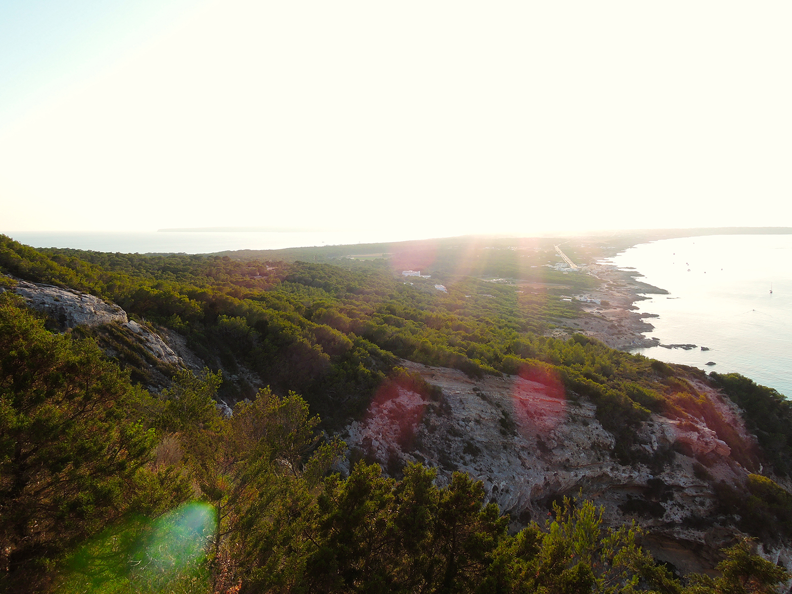
Minorca, Ibiza and Formentera all present an uneven and rugged coast with low-lying plains punctuated by pine forests.
For 4 years we have spent our summer holiday around the Balearic Islands.
The beautifull landscape and diverse nature, many good anchoring bays that are generally well protected and the stable climate of the Balearic sea in the summer makes these islands a great holiday destination.
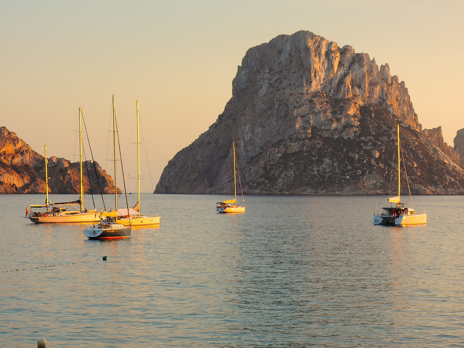
Es Vedra, before sunset, seen from Cala d’Hort (Ibiza), Esprit de Co(r)ps moored in front
The archipelago is strategically located in the middle of the western Mediterranean, within the Balearic Sea, and subjected to the influence of currents from the northwestern Mediterranean and others of Atlantic origin.
The distance between Sete and the closest Island (Minorca) is about 200 NM.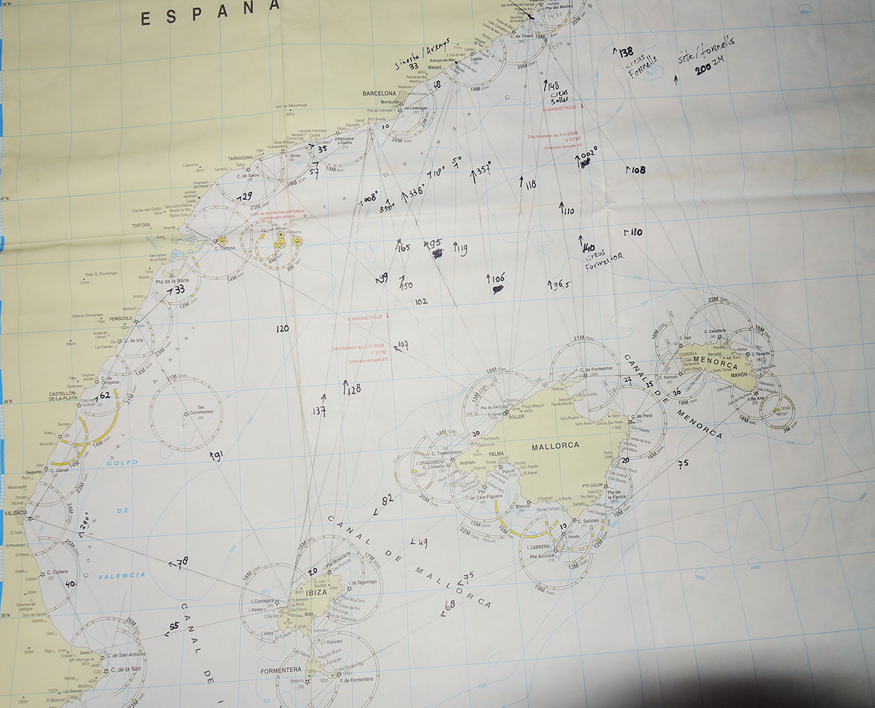
The archipelago lies 50 to 190 miles (80 to 300 km) east of the Spanish mainland.
There are two groups of islands. The eastern and larger group forms the Balearics proper and includes the principal islands of Majorca (Mallorca) and Minorca (Menorca) and the small island of Cabrera. The western group is known as the Pitiusas and includes the islands of Ibiza (Eivissa) and Formentera.
The archipelago is an extension of the sub-Baetic cordillera of peninsular Spain, and the two are linked by a sill near Cape Nao in the province of Alicante. The Balearic Islands autonomous community was established by the statute of autonomy of 1983. Palma is the capital as well as the military, judicial, and ecclesiastical centre of the autonomous community. The government encompasses the insular councils of Majorca, Minorca, and Ibiza-Formentera. Area 1,927 square miles (4,992 square km). Pop. (2007 est.) 1,030,650.
Geography
The Balearics exhibit a varied terrain, with undulating hills, plateaus, and lowlands. Minorca has extensive plains. Annual precipitation is low, rarely exceeding 18 inches (450 mm), and occurs mainly in the autumn and spring.
History
Varied civilizations have left their marks on the islands, and, although the prehistoric Talayotic civilization (so termed from its characteristic rough stone towers called talayots) seems to have continued without much modification, the focal position of the islands in the Mediterranean laid them open to continued influence from civilizations centred farther to the east, as many archaeological finds attest. Important discoveries of bronze swords and single and double axes, antennae swords, and heads and figures of bulls and other animals all bear witness to foreign influence over long periods of time. Pottery, mostly of the native Talayotic types, seems to have persisted with little change until the Roman occupation. Historical evidence points to at least 2,600 years of settlement, for the islands were successively ruled by Carthaginians, Romans, Vandals, Moors, and Spaniards, all of whom have left their mark.
The Balearics were conquered by the Vandals in 526 and fell to the Byzantines in 534.
The Muslim occupation of the islands was complete by 903. James I of Aragon conquered the islands of Majorca and Ibiza between 1229 and 1235, and Minorca fell to his descendant, Alfonso III, in 1287. The Balearics were established as an autonomous kingdom in 1298 and rejoined Aragon in 1349. The British captured Maó in 1708, and the Treaties of Utrecht in 1713 ceded Minorca to the British, who occupied it until 1802. The Balearics were established as a Spanish province in 1833. A regionalist movement emerged in the late 19th century but failed to consolidate. A statute of autonomy was proposed in 1931 but not enacted until 1983.
Menorca
Minorca is a peaceful, unique natural oasis, packed with contrasts to discover. It is a real paradise, washed by the Mediterranean Sea, that will seduce you with its harmony and diversity.
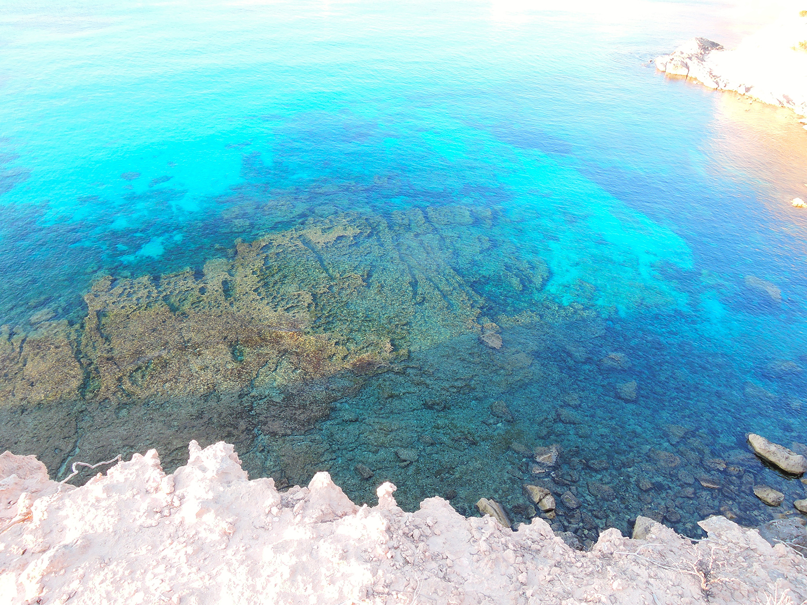
The island has 216 kilometres of highly varied coastline, from the rugged shores and reddish beaches of the north, to the gentle relief of the south, with golden sandy coves. There are many different options to enjoy sun and sea, whether on broad sandy beaches or at small coves surrounded by pine groves. They all have one thing in common, however: clean, crystal clear waters.
Menorca is the second largest of the Balearic Islands
Most of the island’s area of 258 square miles (668 square km) is dry, monotonous tableland with rugged hills rising in the north centre to Toro hill (1,175 feet [358 metres]). Its northern coast has many capes and is deeply indented with inlets such as the bays of La Albufera, Addaya, and Fornells.
The North Side of Menorca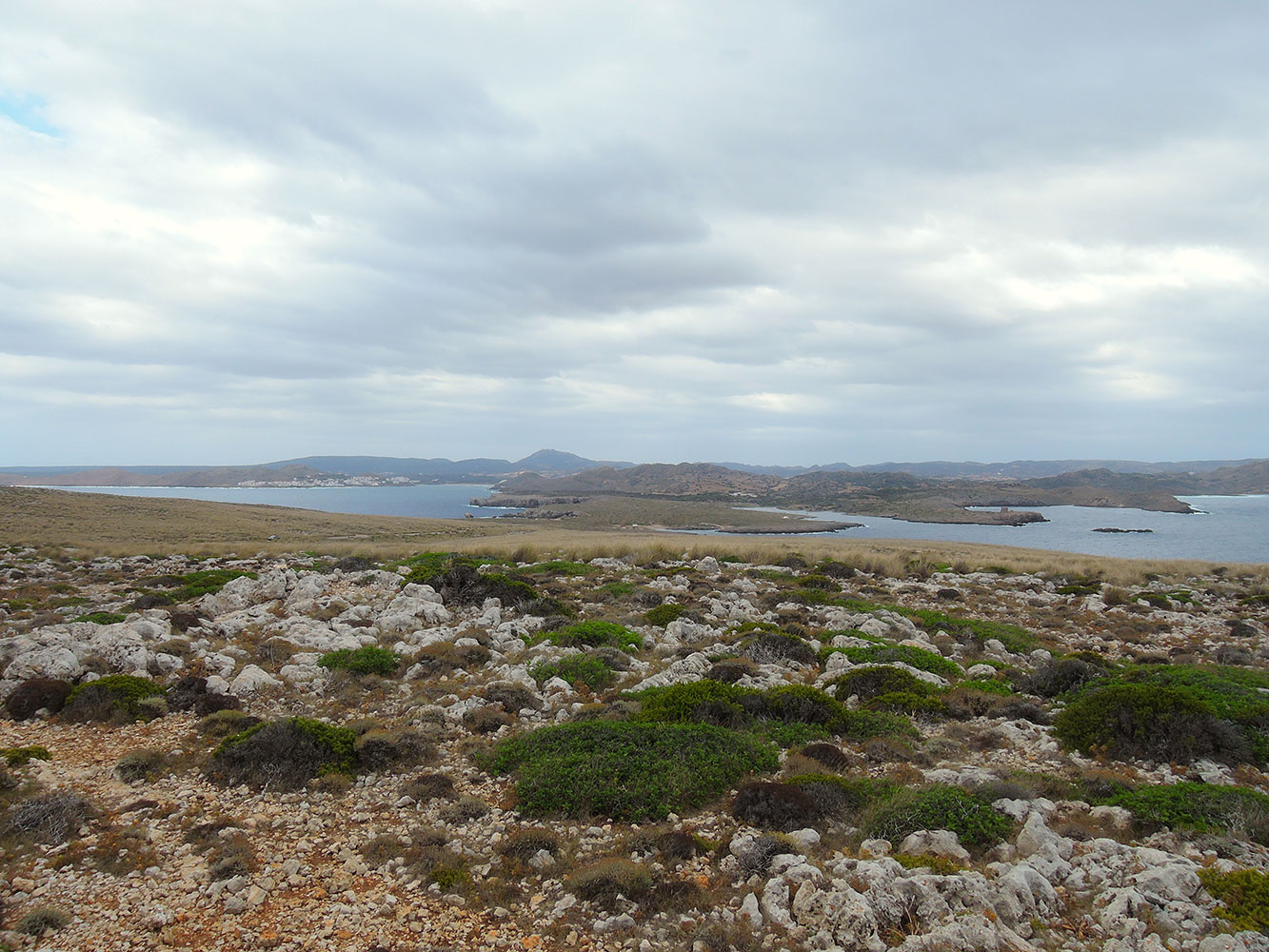 Cap de Cavalleria, looking South towards the island and on the left Platja Fornells and in the back the highest mountain of the island Mount Toro
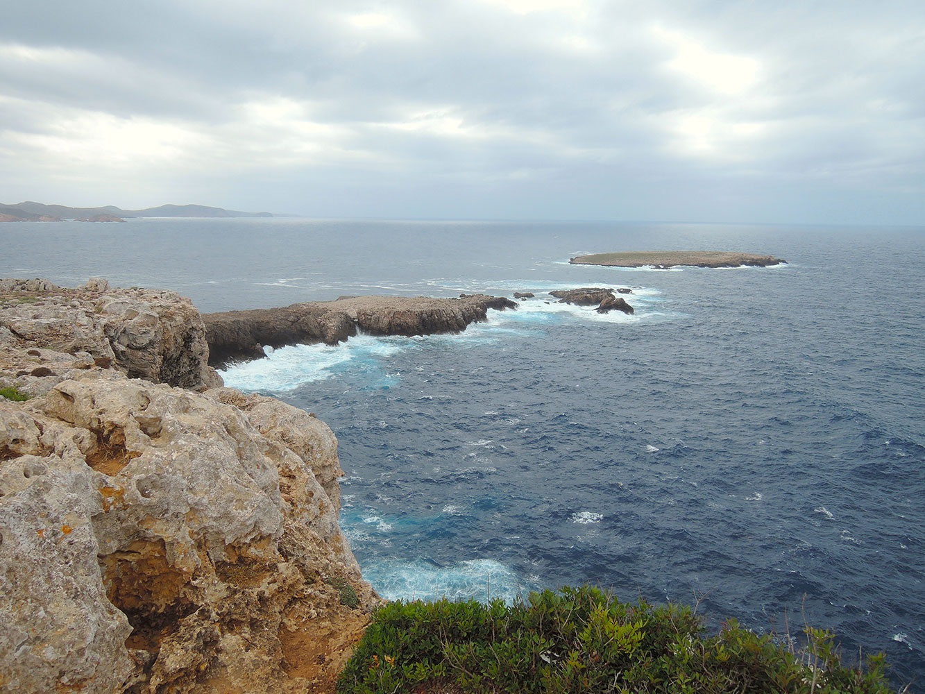 Cap de Cavalleria, looking West towards the island and the North shores
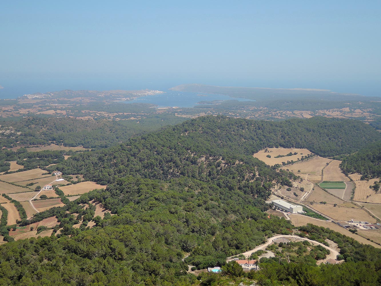 On a scooter trip around the island, here on mount Toro, where lies a Monastery, from there you have an exeptional view over the island, here looking North, towards the bay of Fornells
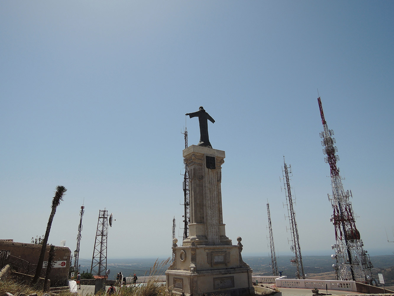 On Mount Toro, In the center of the island next to tha Monastery, at a hight of approximatly 350 meters, modern ways of ‘Communicating Religion’ have found there place.
“Dear friends, we are gathered here together…..”
The North side of the Island is under influence of the Mistral, and the vegetation shows the effect of this strong wond from the North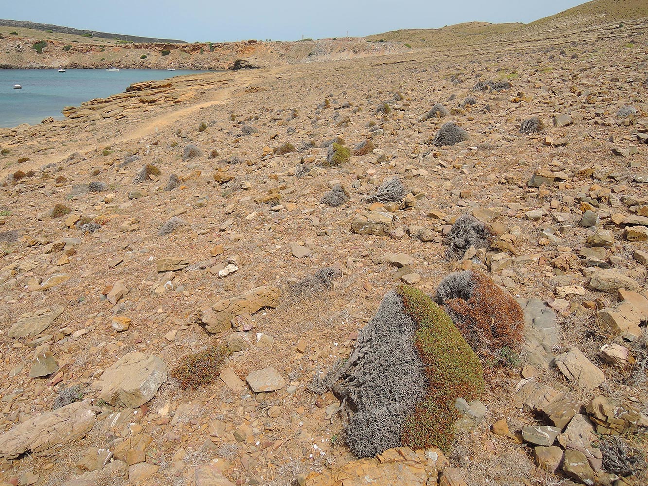 The left side is the Northern side, all plants grow South…
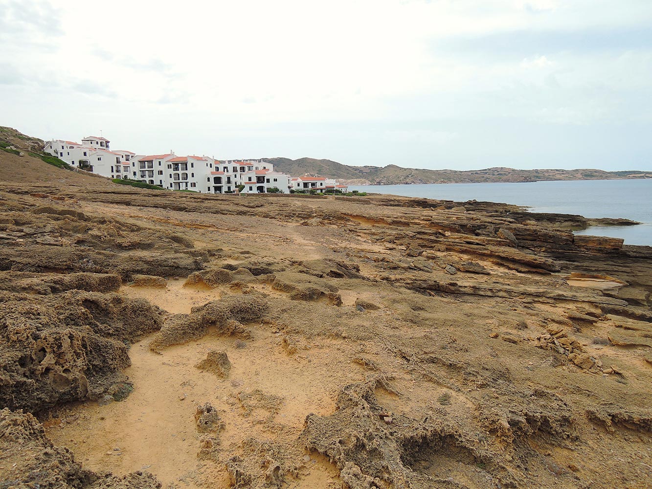 But also the rest of the landscape shows traces of erosion…
Cala d’Algaiariens
One of the biggest bays with good anchor possibilities is Cala d’Algaiariens, in the North.
(Open to the North and thus to the Mistral)
 Cala d’Algaiarens is different from the surroundings of Fornells; where Fornells has an eroded landscape, Cala d’Algaiariens is surrounded by pine trees that give it a friendly atmosphere.
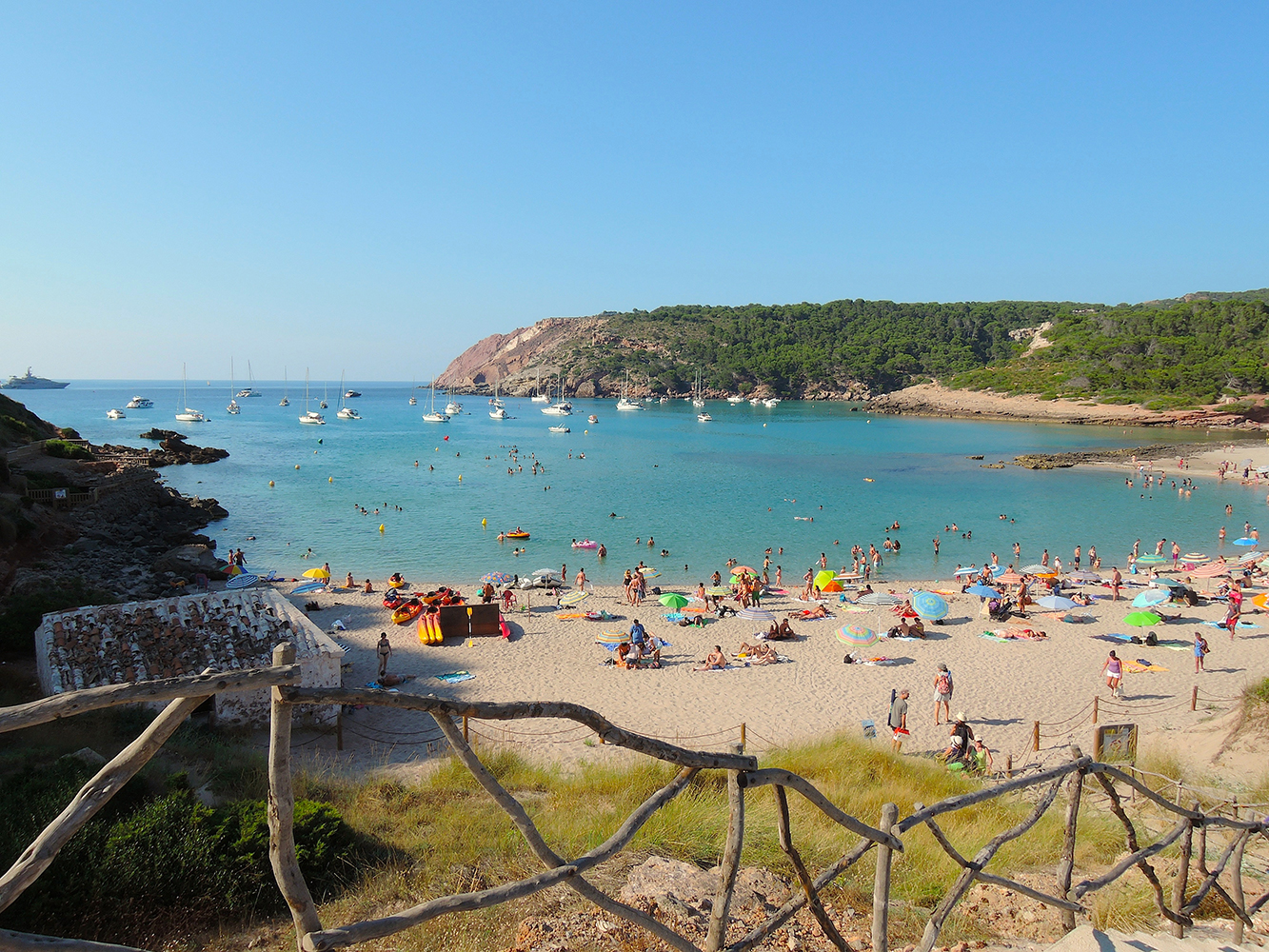 Cala Algaiariens, Menorca seen from the beach
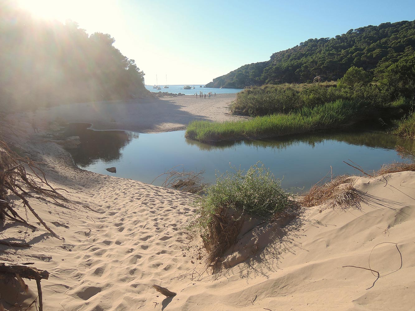 Cala d’Algaiariens, the beginning of the Albufera, looking towards the beach
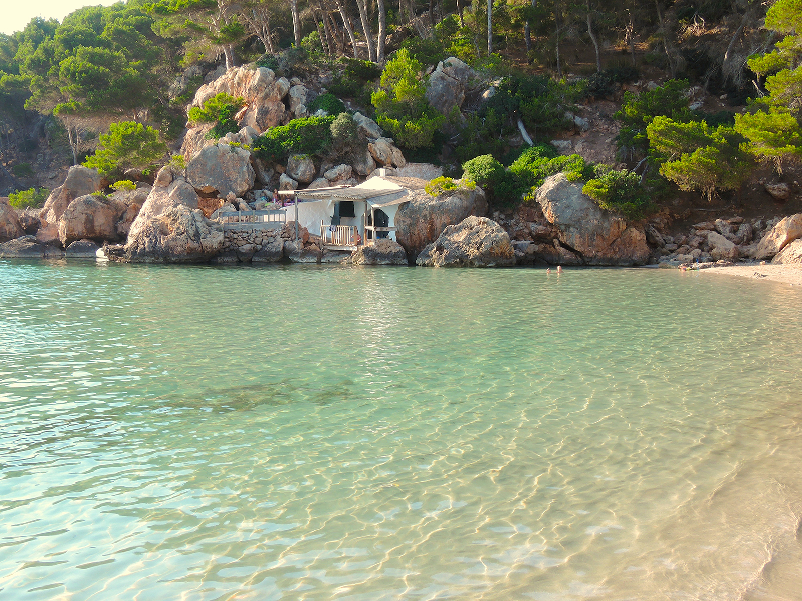 Cala d’Algayerens house on the beach
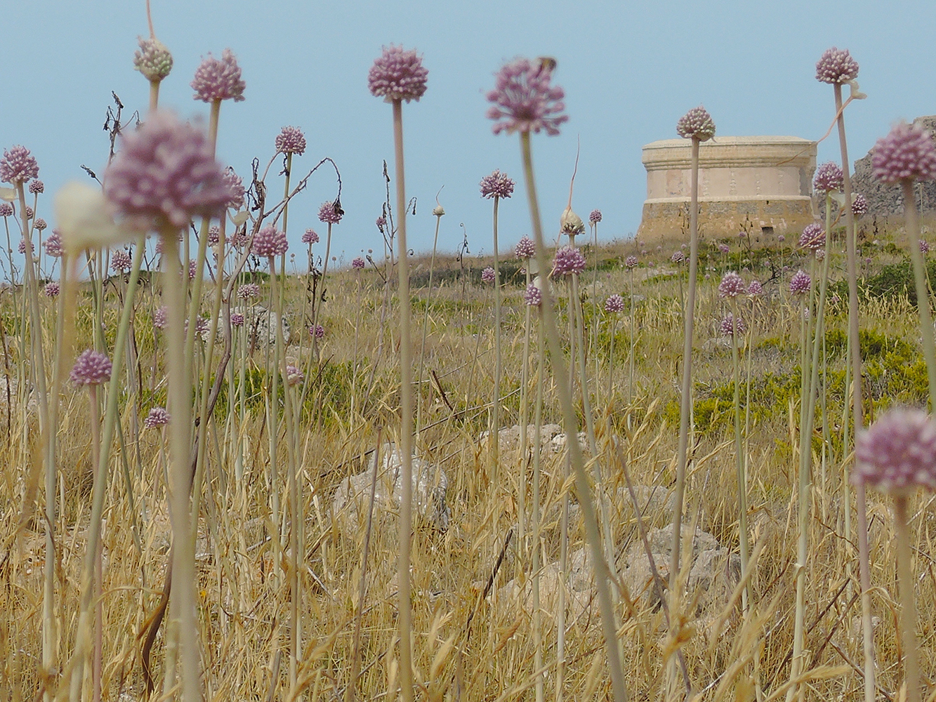
The island transmits a sense of calm, largely on account of its valuable countryside. Minorca has the UNESCO Biosphere Reserve designation and a wealth of flora, fauna and landscapes.
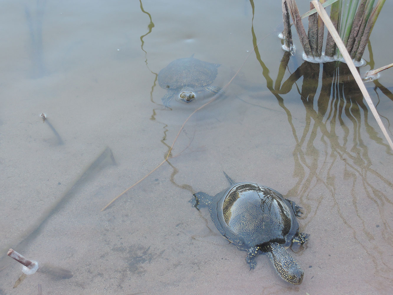
![]() Some curious sea turtles came to have a look at us near the bay of Algaiarens
Some curious sea turtles came to have a look at us near the bay of Algaiarens
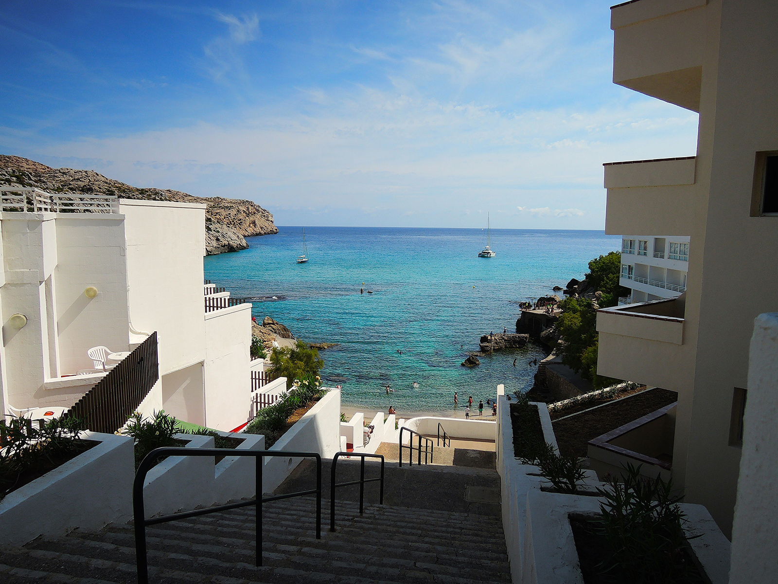
Fornells
Fornells is like a pearl nested into the virginal north coast of Menorca. A truly beautiful harbour that surprises all those who visit it. This traditional town of fishermen has become a major reference thanks to its outstanding fish restaurants and an unparalleled variety of nautical sports that can be practiced in the shelter of its bay. In their white-washed houses, the inhabitants of Fornells have always kept a calm life with respect towards nature. This spirit persists nowadays.
 Fornells, Menorca seen from land
The second colour of Fornells after white is blue – you will find it in the calm and crystalline waters of its harbour. It is not in vain that the area extending from the port to Cap Gros and until Punta des Morter has been officially declared as ‘Marine Reservation Area’.
 Torre de Fornells
The village was originally founded to serve a small defensive watch tower (Torre de Fornells), built at the beginning of the 17th century as a defence against the Barbary pirates for whom Fornells Bay provided the perfect safe haven. This watch tower proved to be insufficient, so in 1625 King Phillip IV of Spain ordered a castle to be added. This project was not successful due to lack of funds. In 1637 the building project was recommenced as the castle of Sant Antoni. During construction, a small village was formed around the castle, occupied by construction workers and soldiers, this village becoming the basis of modern-day Fornells.
The bay of Fornells contains four pretty virgin coves and three small islands in which the ‘S’argantana Balear’ – an endemic species of lizard – can be found. The coves and islands can only be reached by boat. The salt mines that can be found in the shallow waters at the end of the bay come to complete this top-notch ecological and landscape setting.
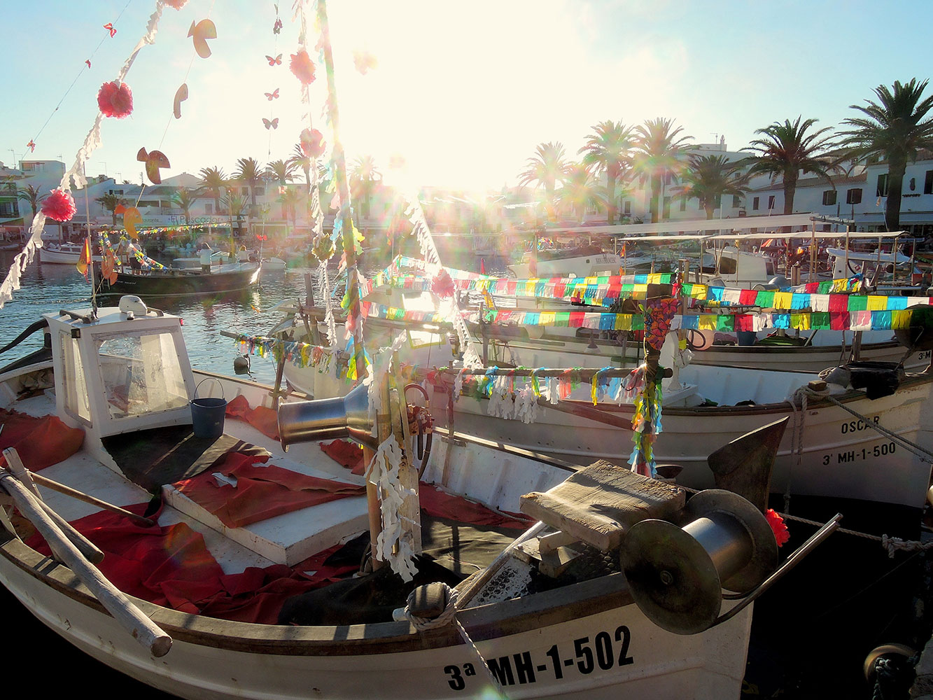 Fornells Fiesta de Sante Clara
Thanks to the protection of the narrow mouth of the harbour to the sea, the 5 kms. of length of the bay and the 2 kms. of width, marine sports activities have a privileged place in Fornells. In its calm waters you can practice windsurf, saling, kayak and diving. The wind is usually moderate and sufficient for surfres, divers will find plenty of life at the bottom of the sea and those on their kayaks will be delighted by the unspoiled coves and the wild beauty of the coast.
By land, the northern part of Menorca offers many activities for those interested in hiking and adventure sports. Horse riding, cycling, mountain-bike and golf are only a part of the terrestral activities available in the Fornells area. There is a good selection of professionals to supply you with training and equipment..
 Fornells Fiesta de Sante Clara ‘Mare de Deu del Carme’
If you want to rest, eat well and enjoy some days of peace and harmony with your loved ones, Fornells won´t let you down.
In the month of July the people of Fornells celebrate the ‘festes’ – the municipal fiestas.
On one hand there is the ‘Mare de Deu del Carme’, the patron of the fishermen, which is celebrated on the 16th of July.
At the end of the month, Fornells celebrates the patronal fiestas of ‘Sant Antoni’ during which a strict protocol is observed that is loyal to very old traditions. The most spectacular part of the fiestas is the ‘jaleo’ during which the riders make their beautiful horses jump to the rythm of the music and where everyone is invited to participate.
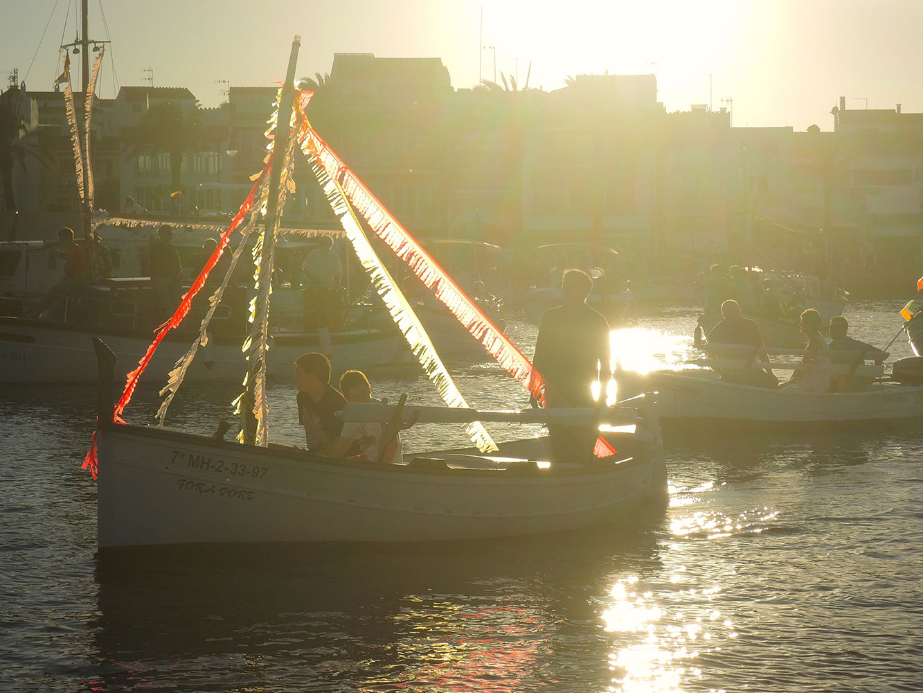
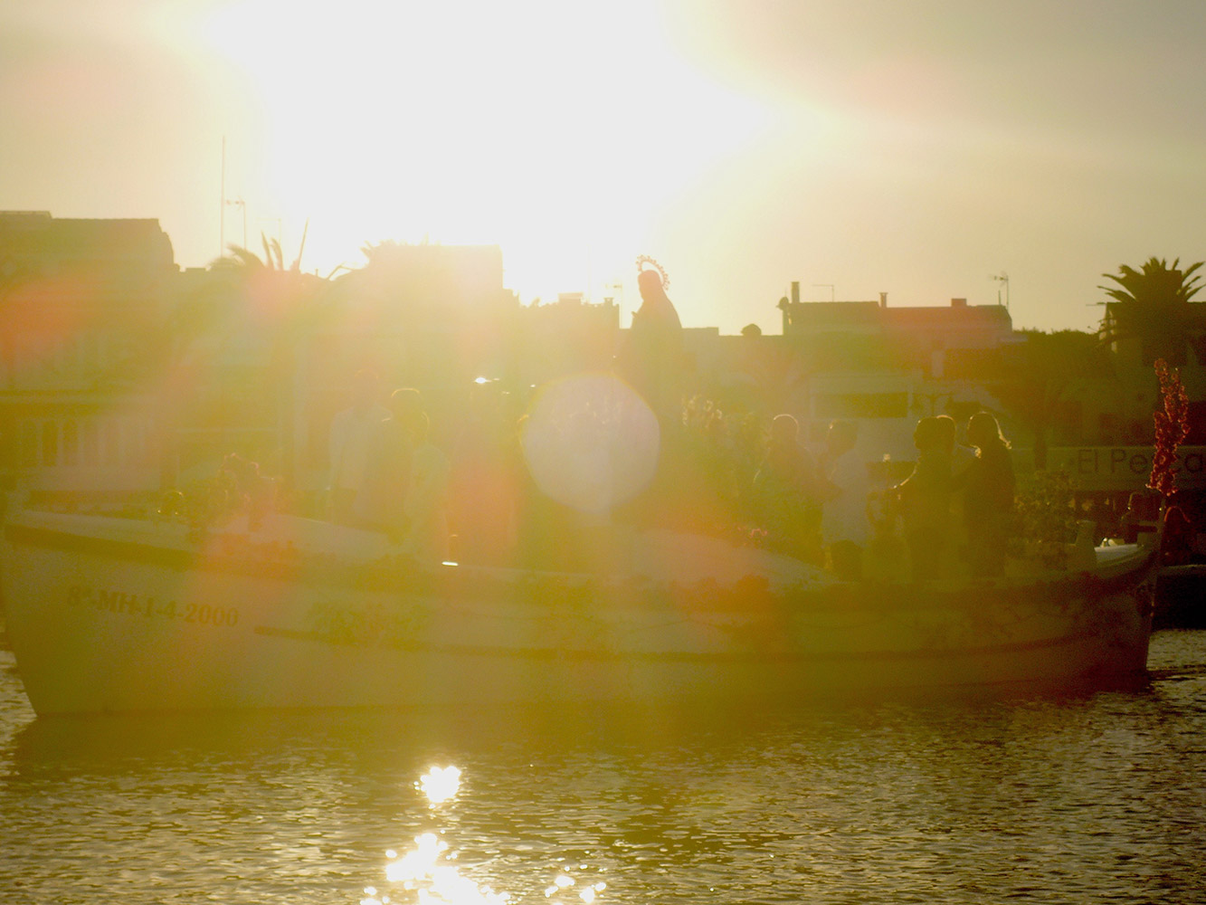 The statue on the boat, ready to make a trip to the sea
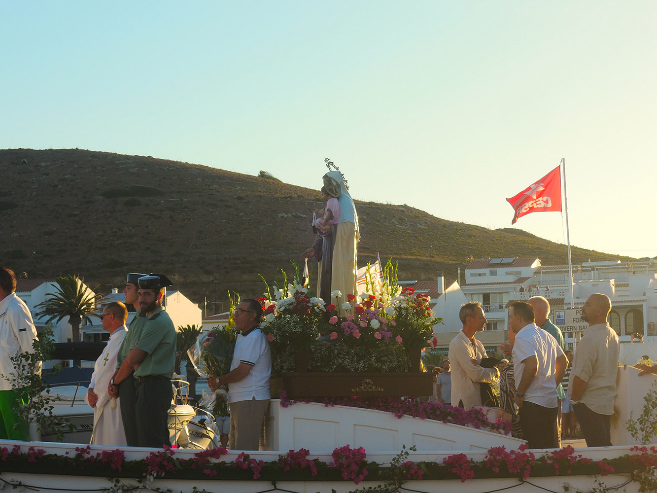 The statue is not only well attached, but also well protected…
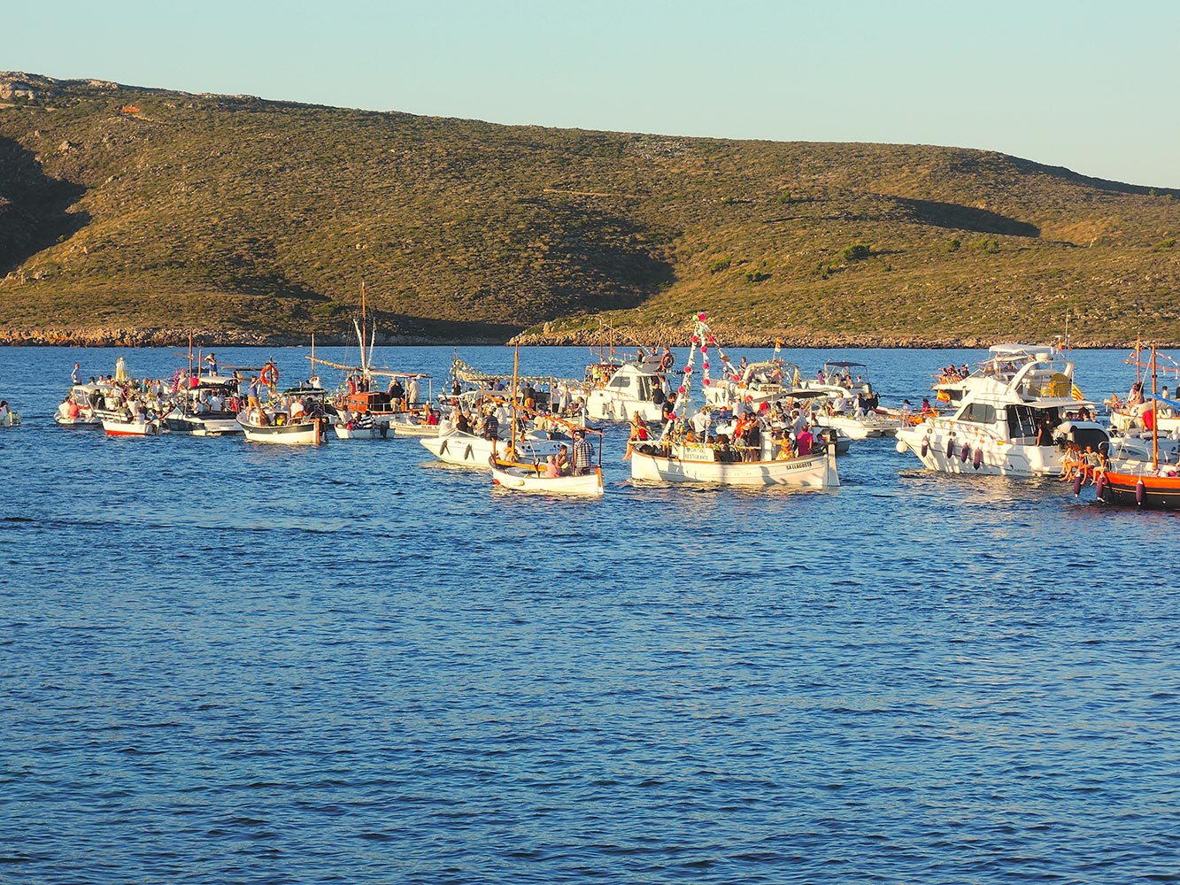 The exodus to sea with the statue on board and lots of followers, In our ‘modern’ world dragging a statue to sea gives a lot of ‘likes’ on social media…
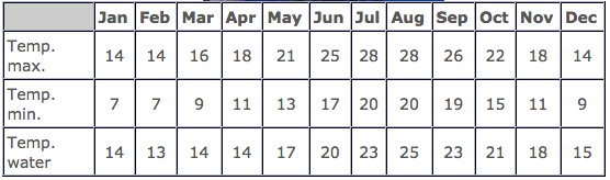
Menorca has a very pleasant temperature during the greatest part of the year with a typically mediterranean climate. The summers are dry and hot. The winter is soft but wet. The cool norther wind, called ’tramuntana‘, characterizes the menorcan landscape.
We made a walk to Ses Salines and Platja Fornells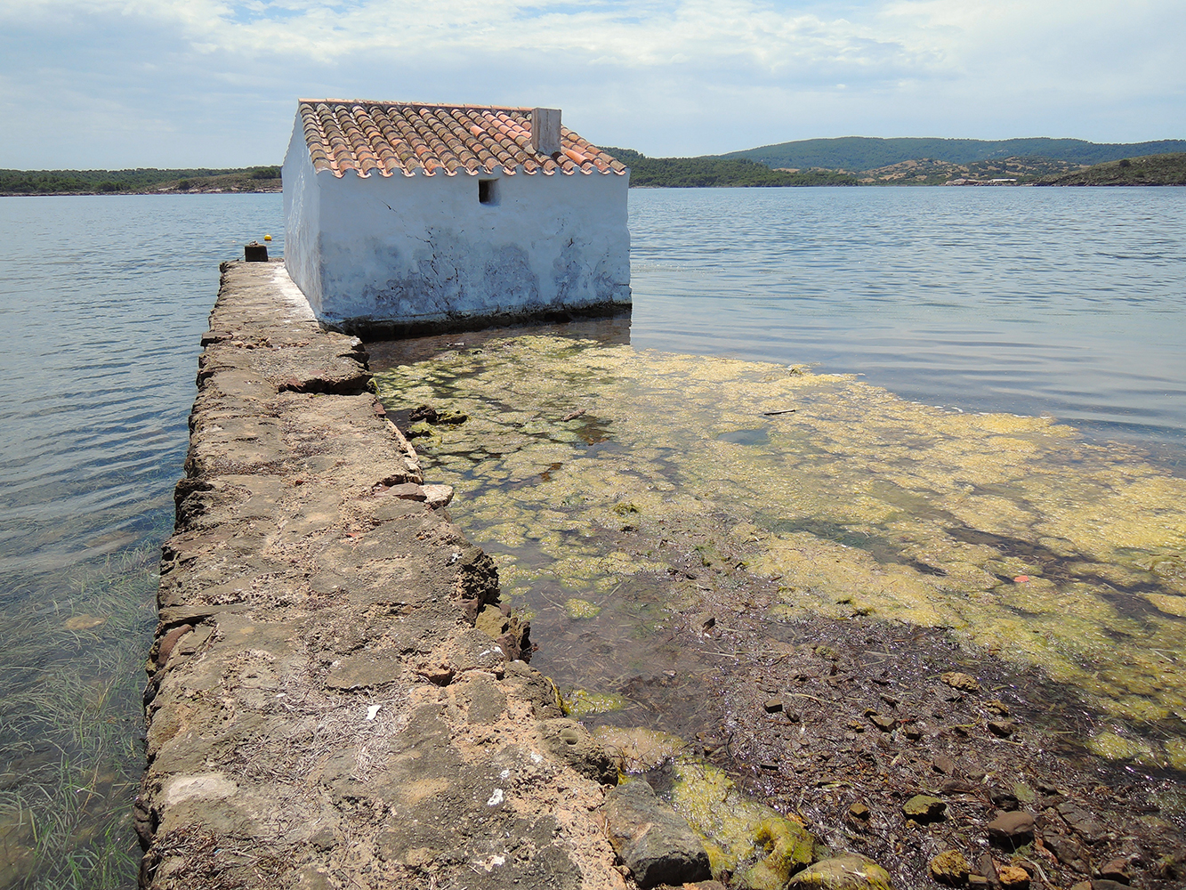 Ses Salines, boat house in the Laguna
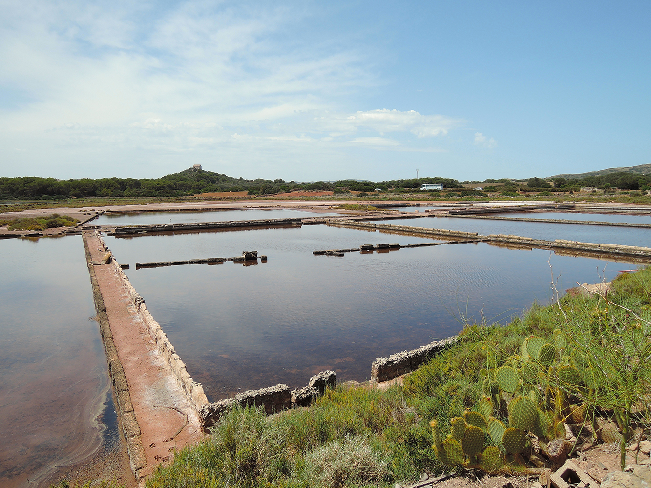 Ses Salines, (very) old Salt pans
The South Coast is more regular and has long stretches of cliffs.
Cala’n Porter
The resort itself is positioned on the cliff tops on the east side of a deep inlet. The west side is undeveloped.
Cala en Porter has all the expected facilities, including a train service that transports tourist from the centre of the resort to the beach via the steep winding road.
There is a local bus service from Cala’n Porter to the bus station in Mahon where buses are available for the rest of the island, in summer there are approximately 6 buses into Mahon a day.
On the headland of the resort are the caves of Xori which used to be a prehistoric dwelling but has been made into a bar and restaurant thats perched high on the side of a steep cliff with some stunning views.
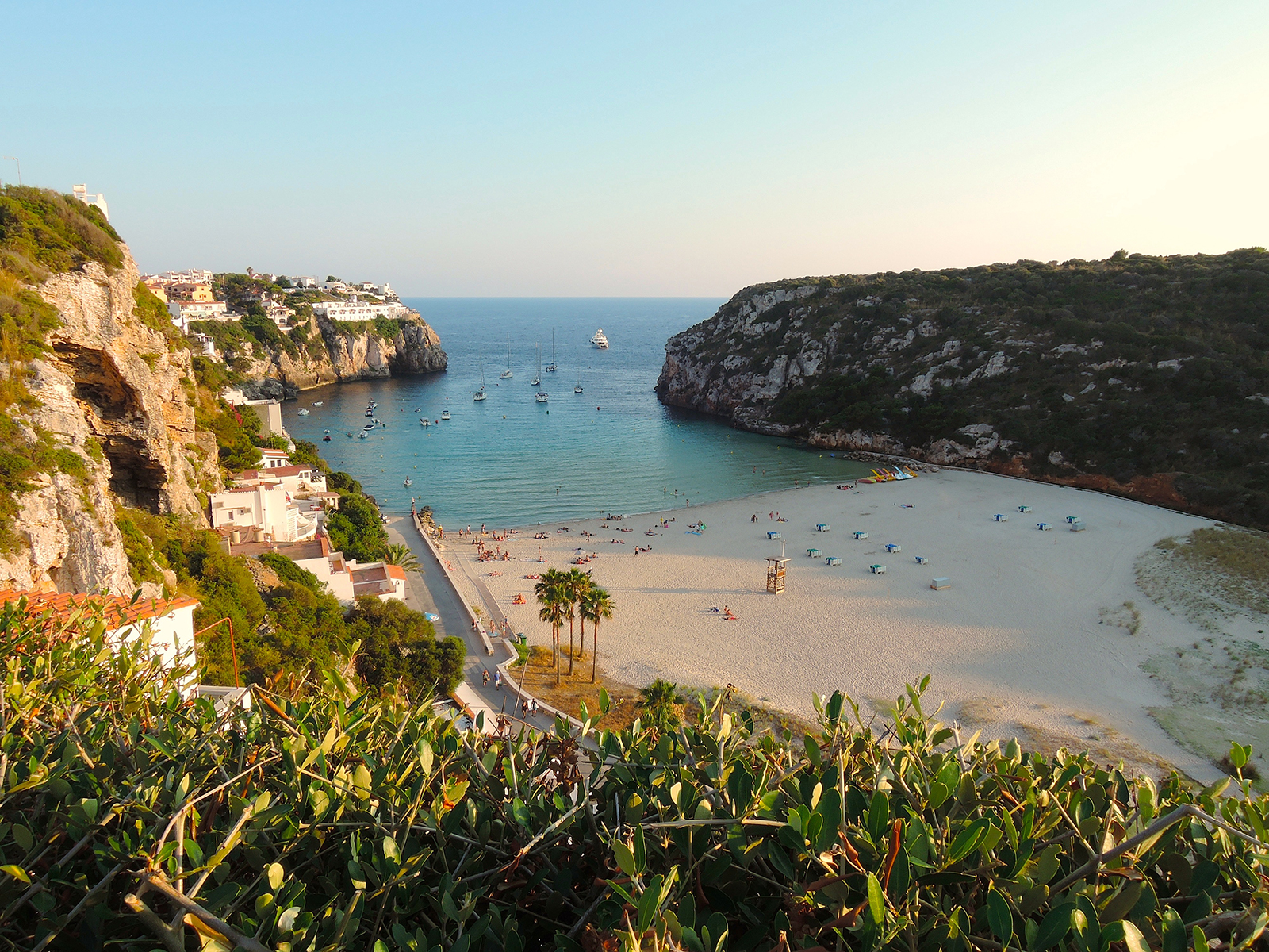 Cala en Porter, on the South side of Menorca
Transport Outings on foot, by bike or on horseback, on the marked trails and routes, are a good way to get to know lots of beautiful surroundings.
Hiring a bike or a scooter is a good way to explore the island, especially for those who come by boat – the longest distance between two points is 47 kilometres.
East Cost of Menorca
Es Grau and the S’Albufera d’Es Grau
Located on the north-east coast to the north of Mahón, Es Grau is a charming fishing village set within a protected nature reserve with a beautiful unspoilt natural beach ranking among the most natural locations in Menorca, blessed by nature.
The resort is only 7 miles (11km) from Menorca’s airport and a great location to explore Menorca’s attractions.
Most outstanding is the S’Albufera d’Es Grau Nature Reserve, a refuge for many aquatic and migratory birds, which is also one of southern Europe’s most important wetland areas..
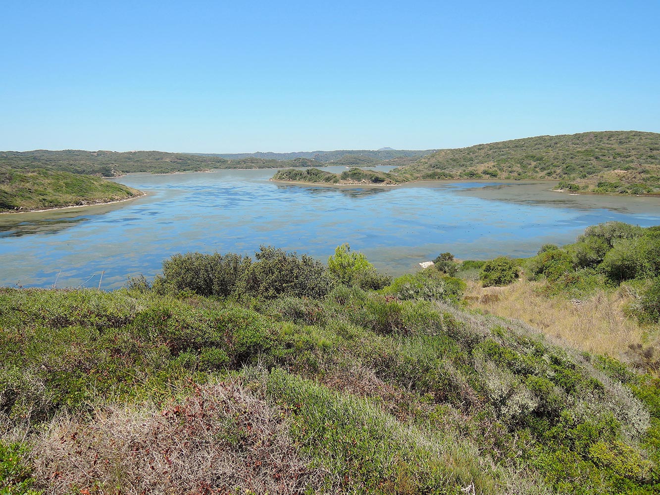 Albufera d’Es Grau
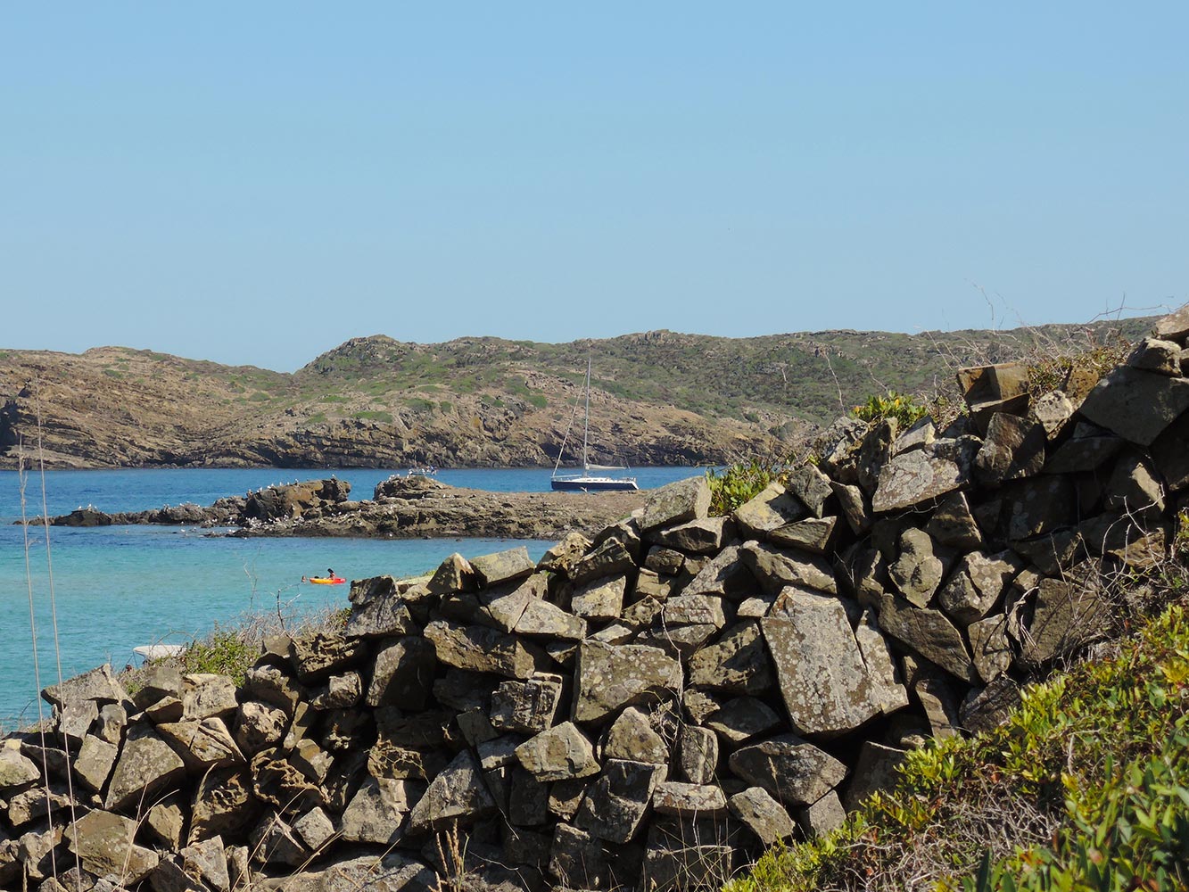 The bay of Es Grau on the eastern side of Menorca, near Illa d’en Colom, Esprit de Corps anchoring in front of the town, that is situated more to the right
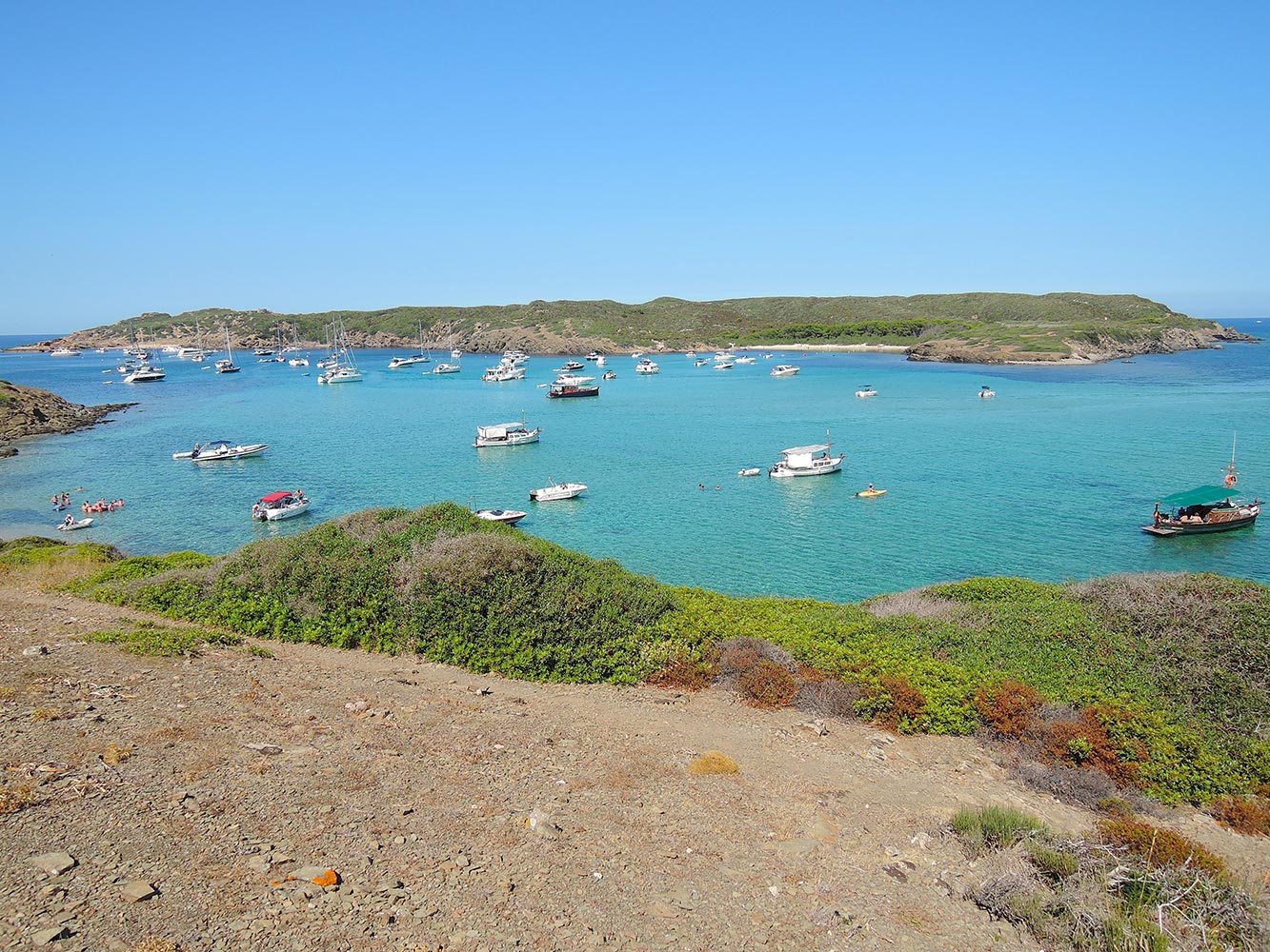 Illa d’en Colom
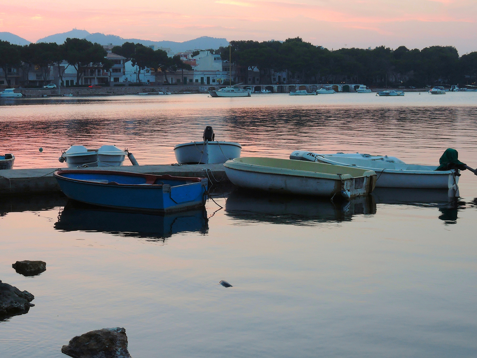
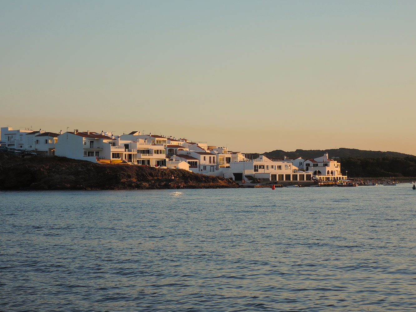 Es Grau at sunset
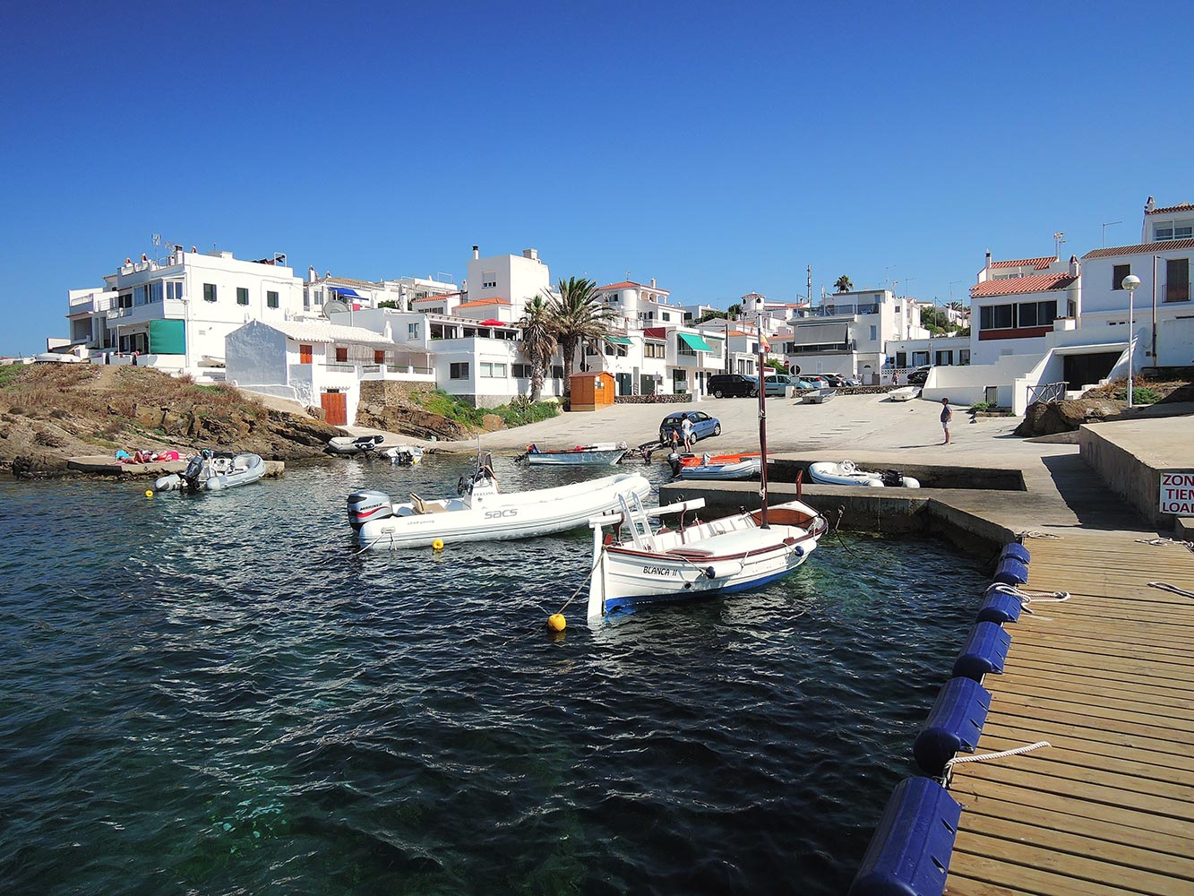 The harbour of Es Grau
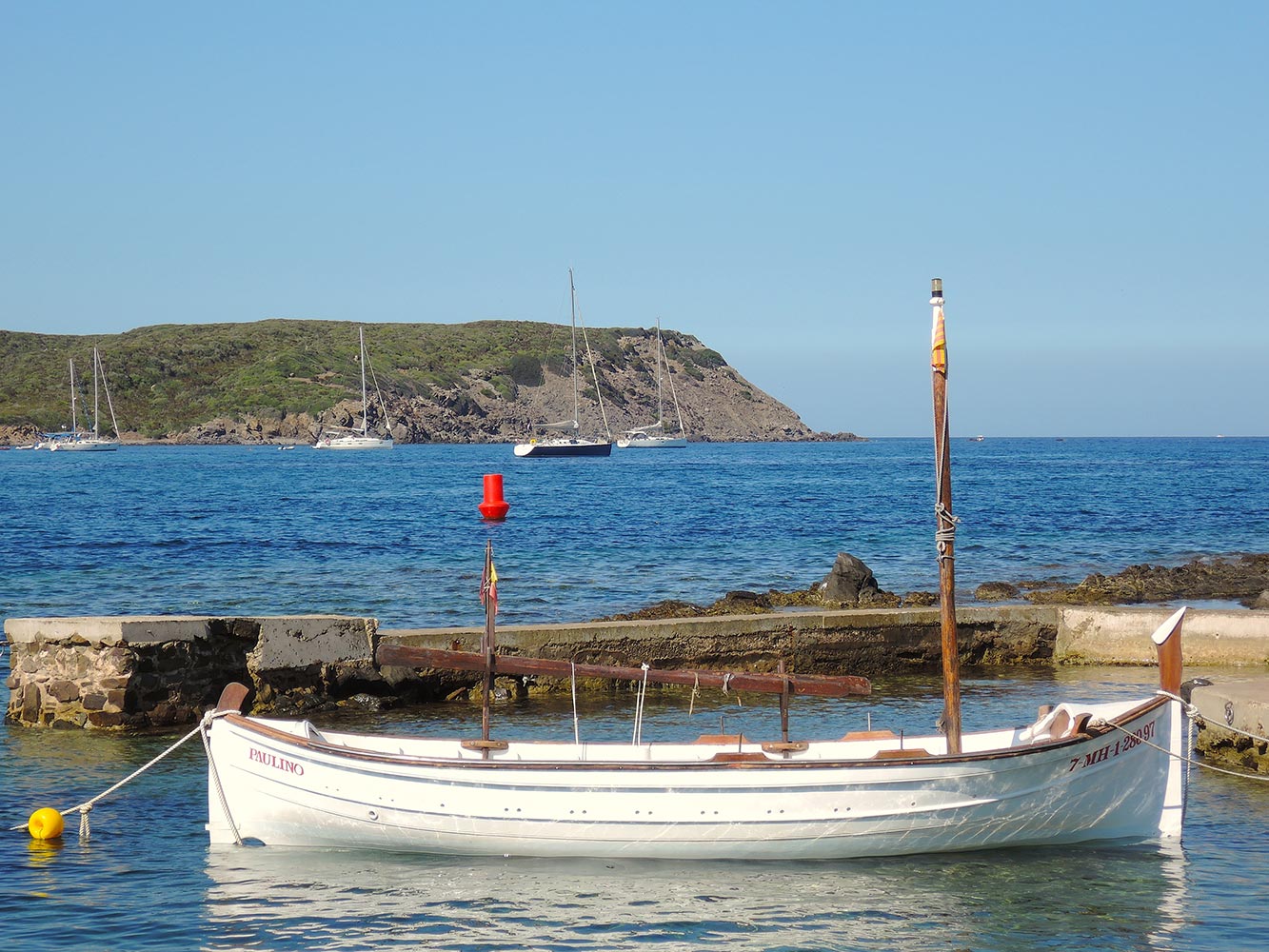 Es Grau, on the background Esprit de Corps and Illa d’en Colom
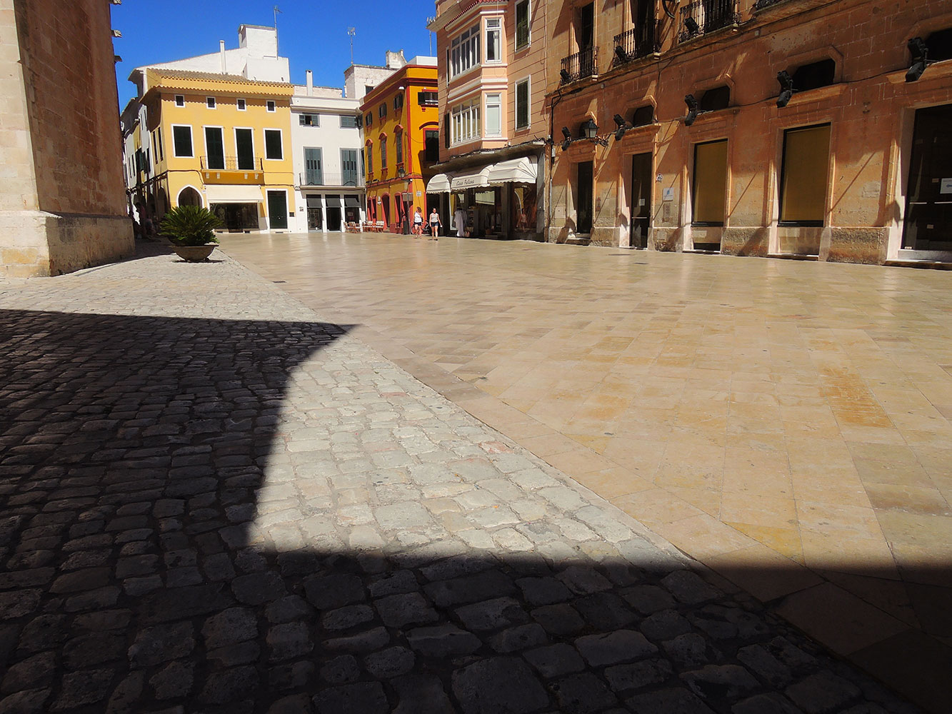
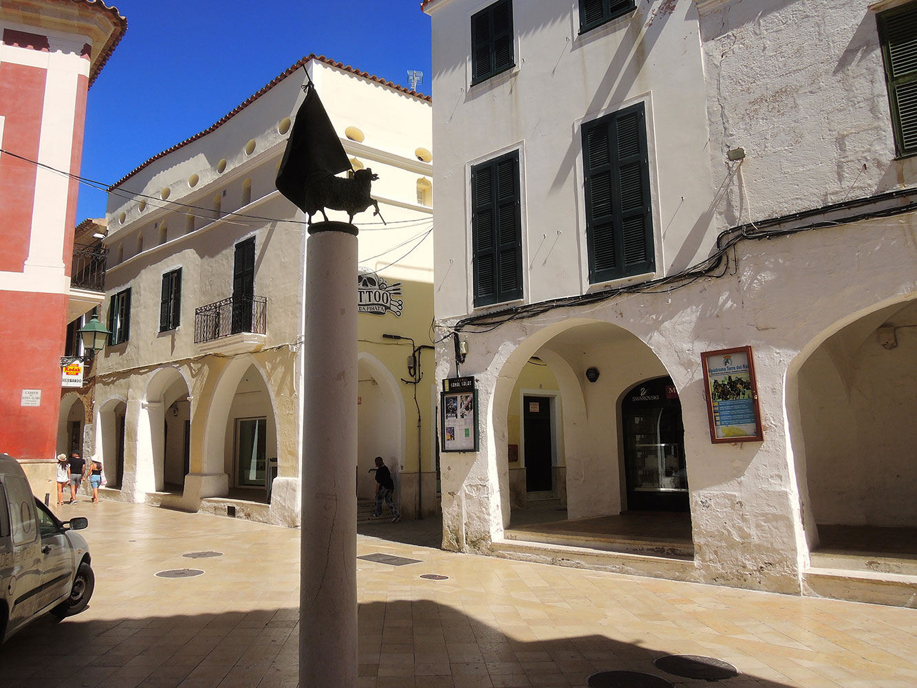
Ciudadela
Another of Minorca’s attractions is its archaeological and cultural heritage. Discover interesting monumental sites such as the historic old town of Ciudadela.
The historic city of Ciutadella in located at the extreme west coast of Menorca. It used to be the capital of culture and commerce in Menorca, and although it has not been this for a long while, it is still a very attractive city, with a wonderful heritage and real appeal.
History
Nicknamed Vella I Bella, which translates to the Old and Beautiful, the city was first settled by the Carthaginians, and since early days has been in competition with Mahon. In 1558 the city was evaded by 15,000 strong Turkish troops and was defended by just a handful of men. The city fell and was devastated, most of the survivors were
taken back to Turkey and sold as slaves.
When the British arrived in 1708 the city ceased to be its capital.
About the town
Ciutadella is a very attractive city, with a charming port, and old quarter, which is a delight to explore. There are several good examples of Baroque and Gothic churches in the city.
The port is both a fishing and leisure port, and there are an abundance of wonderful waterside restaurants, which line the quay. If you get there early enough you can watch the fisherman bring in the local catch of the day.
The Placa d’es Born is one of the most picturesque squares in Ciutadella, on what used to be a former Arab marching ground; an obelisk now stands to commerate the Turkish invasion.
The Gothic cathedral in Placa de la Catedral dates back to the 13th century and survived the Turkish invasion, but did not fair so well in the Spanish Civil War.
Other architectural interests such as the Town Hall, Teatre Municipal d’es Born (Theatre), the palaces of Palau Salort and Palau de Torresaura.
The Placa Libertat is home to the covered market, and the Placa Nova the place to head for bars and cafes, and or some nice outdoor restaurants then head over to the Placa d’es Esplanada or Placa dels Pins.
Beaches
Ciutadella doesn’t have its own beach, but just 3 kilometres away are the small beaches of Cala Santandria and Sa Caleta and further afield are Cala’n Blanes, Cala’n Forcat, Cala Blanca and Cala’n Bosch.
Ciutadella Festival
Ciutadella celebrates its local festival on the 23-24th of June each year and the party is one of the most spectacular festivals in Menorca.
Eating out
Head to the port and its waterside restaurants, or Placa d’e Esplanada or Placa dels Pins for al fresco dining in beautiful garden square surroundings.
Ciutadella, Menorca
 Ciutadella square in summer
History
Menorca’s first inhabitants were probably cave dwellers. Prehistoric remains, dating from about the middle of the 2nd millennium bc and representing a culture that continued with little change until Roman times. The taulas, so-called “tables,” may well have been used for ceremonial purposes but certainly formed a normal element of the habitations associated with the talayots. Both talayot and taula are usually contained within an enclosure, frequently of D-shaped plan, with the entrance in the straight side; within the area stands a taula, a rectangular slab of dressed stone set horizontally on a vertical shaft. The stone naus, or navetas (Catalan: “ships”), of Minorca, so termed from their resemblance to an upturned boat, were graves.
Mallorca
 Porto Colom, sunset
Majorca is the largest of the Balearic Islands, which lie in the western Mediterranean Sea. It contains two mountainous regions, each about 50 miles (80 km) in length and occupying the western and eastern thirds of the island; the regions are separated by a lowland that terminates in Palma Bay on the south and Alcudia and Pollensa bays on the north. Palma de Mallorca
The western mountains are the higher of the two and rise to 4,741 feet (1,445 metres) at Mayor Peak (Puig Major). Precipitous cliffs, often about 1,000 feet (300 metres) high, characterize much of the north coast.
The blue North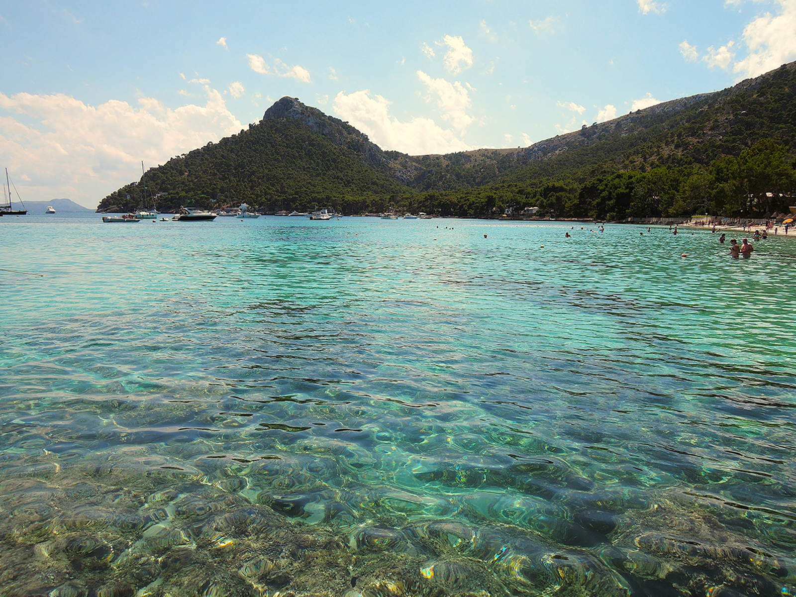 Cala Pi de la Possada near Ila Formentor
With its crystal clear waters in an almost unbelievable blue and its soft white sand Playa de Formentor also known as Calla Pi is absolutely breathtaking in the way that is usually reserved for the most unspoilt secret spots.
However due to its location on the dramatic coastline of Cap de Formentor this beach is top of the tourist lists and as such is packed full of amenities, easily accessible and with daily beach cleaning has clearly been very well maintained.
Well sign posted along the Cap Formentor road you couldn’t miss this beach if you tried, it has a large car park just off the main road rather extortionately priced at €9 regardless of your length of stay but there is also limited free parking along the road which you can snag if you get there early. The local bus service 353, which runs to Cap Formentor from Puerto Pollenca also stops here.
The sandy strip of beach is narrow but long stretching in a beautiful crescent bay, pine trees over hang the beach in places providing shade and there is a grassy area back from the beach, which is a perfect shady picnic area. The water is perfectly clear and shallow and sandy of entry, it’s rocky in places with jutting out crags that make great spots for snorkeling and if you’re feeling adventurous there’s the little island of Illot de Formentor which lures out swimmers and snorkellers to explore its rocky shores.
If you don’t mind eating out you have two options, cheap and easy L’Espigo beach bar, with cafeteria style self service and limited outdoor seating where a coffee or soft drink will cost you €2.50 a beer €3, and you can get pre packed sandwiches or salads for around €5 or a hot meal for €10. Alternatively if you wander down the beach you will find more up market La Varanda restaurant which although set in a beautiful spot with shady terrace and blue water view has a limited and uninspiring lunch menu consisting of starters, pizzas, and a few pasta options, non of which had much imagination or anything unique to recommend them for the price of €17-€25.
 around Cap Formentor
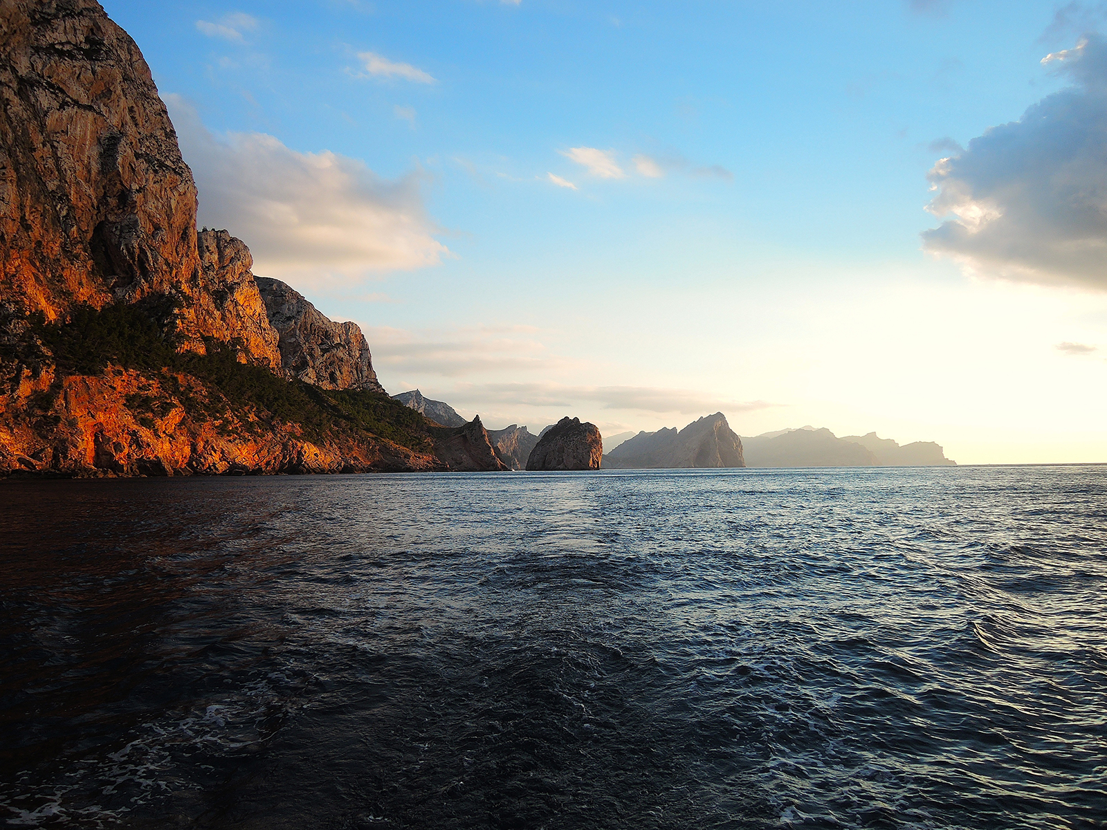
Cap de Formentor lighthouse is a spectacular lighthouse at an elevation of 384m above sea level located in the eastern end of Majorca’s Formentor peninsula, on the northernmost point of the Balaeric Island Majorca in Spain.
The road to reach the lighthouse is asphalted. It’s called PM-221 and is one of the most scenic drives in the world. The route is hilly and packs in 1.600m (5,200ft) of climbing. The road was built by the Spanish engineer Antonio Parietti in 1930’s. His masterpiece on Majorca, however, was the snake to Sa Calobra. Instead of being overwhelmed by what stood in his way on the cliffs, Parietti observed the Tramuntana winds and understood: where the slope was too steep, he made a curve. When he had to remove part of the cliffs, he placed the waste in other places where it was needed. The result was the two roads, which are nestled together in the mountains like abandoned silk ribbons. The Majorcans also call the cape the Meeting point of the winds.
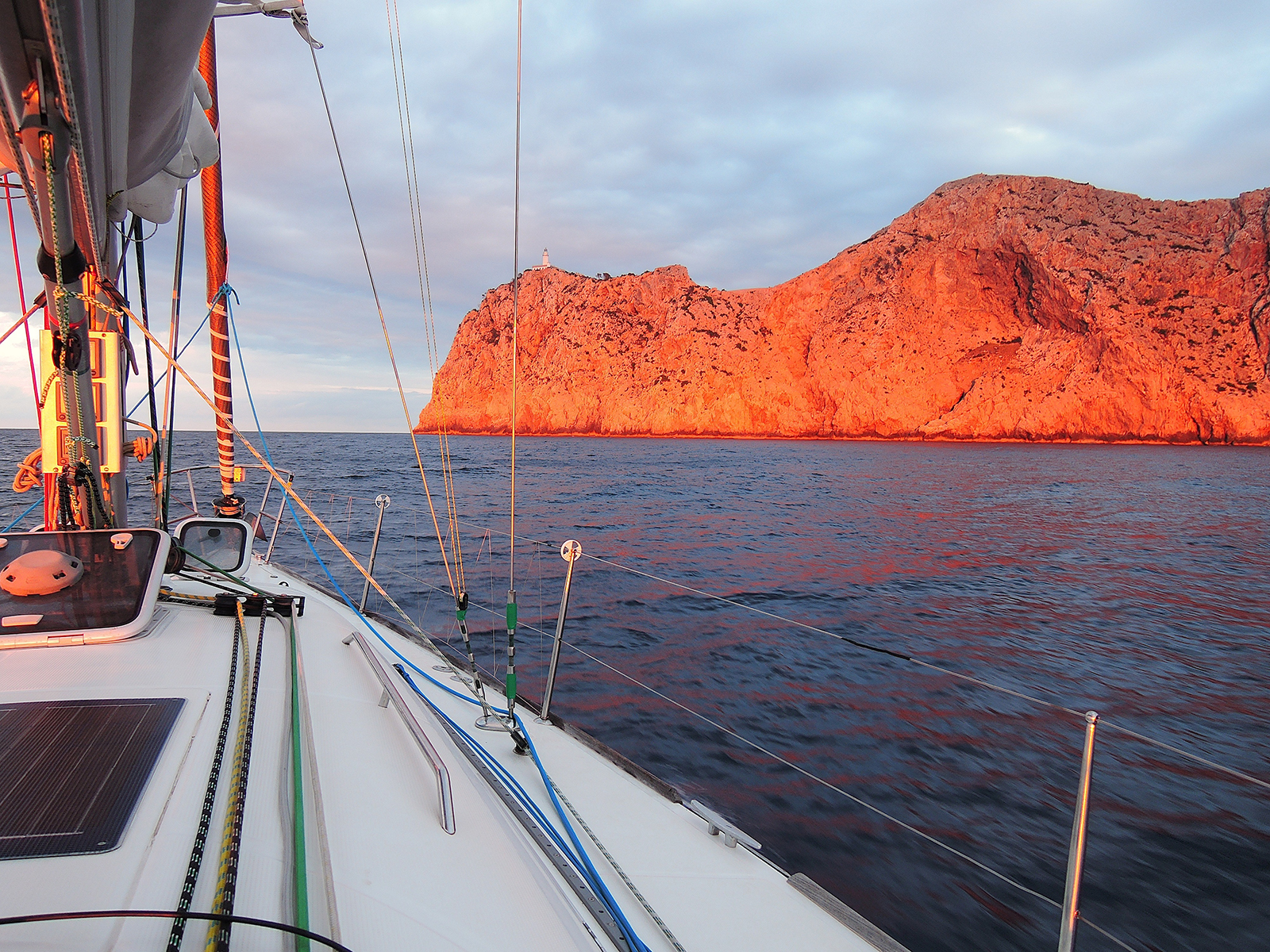 Cap de Formentor at sunset
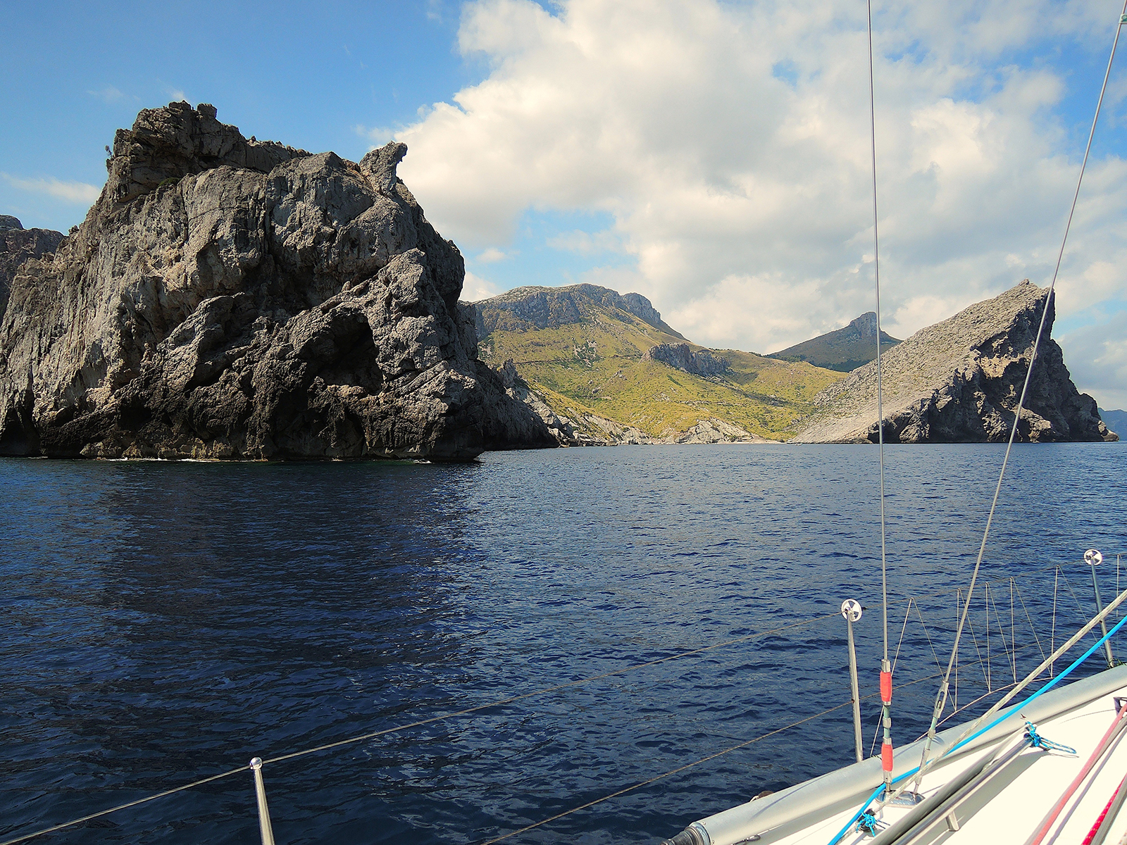 Between Cap de Formentor and Cala de Sant Vincente
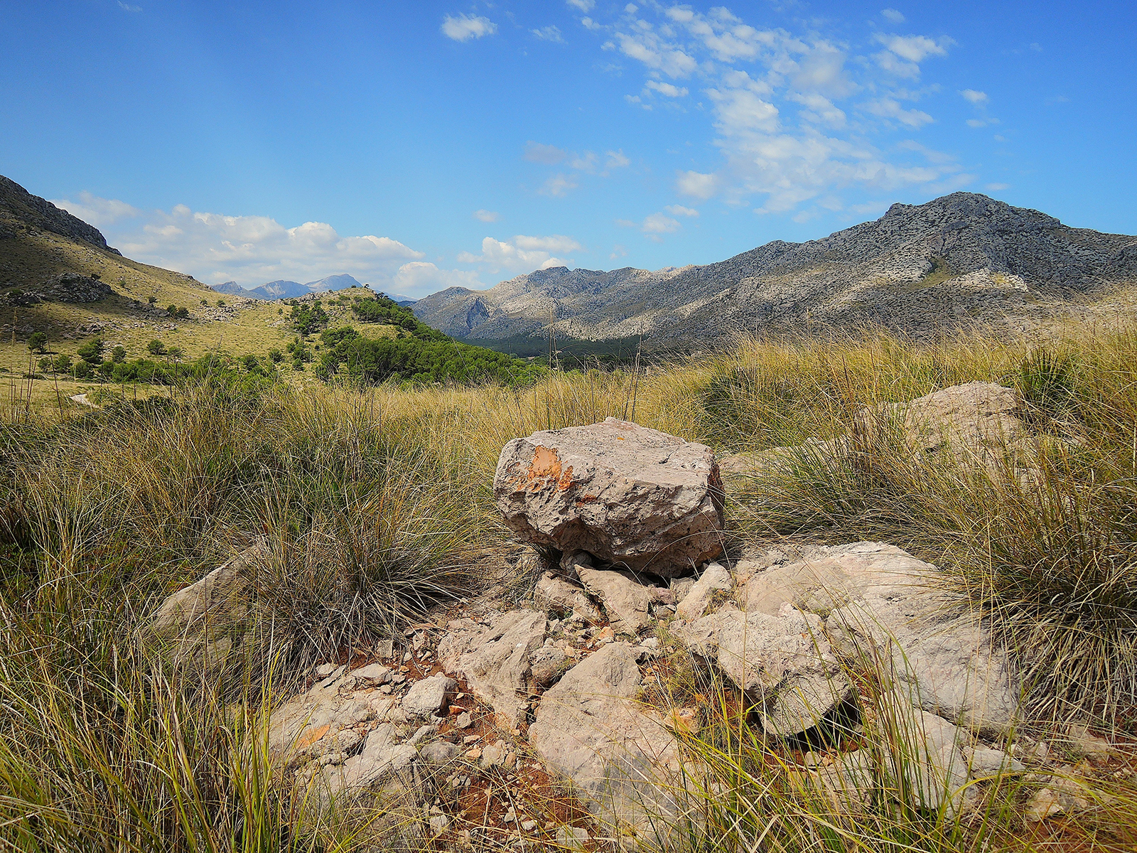 highlands between Cala Sant Vincente and Pollensa
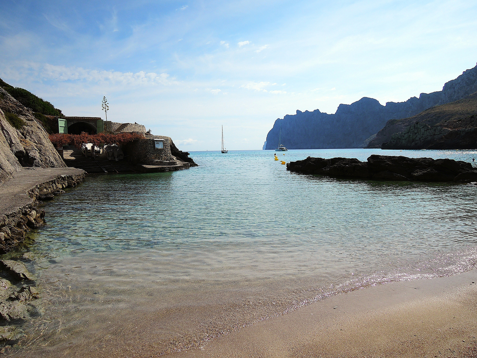 Cala de Sant Vincente, Mallorca
Cala San Vicent (Vicente) is a small and beautiful resort found West of Pollensa and Puerto Pollensa (Municipality Pollensa) . Cala Vincente lies on the West side of the peninsula.
The resort itself is nestled within the Tramuntana mountainous region close to Formentor, at the most northernly point of Mallorca. The scenery from the little beaches is stunningly beautiful but also inland you find beautifull promenades.
There are four small beaches, Cala Barques, Cala Clara, Cala Molins and Cala Carbo.
 Cala de Sant Vincente
Cala san Vincente will suit those tourists who are searching for a ‘get-away-from-it-all’ type of holiday. For sailors, the bay is open to the North and Northwest, a nasty swell can come in. We have been there several times and also fled several times…
But under good conditions it’s a lovely place where you can find a (very) good beach restaurant, so you can keep an eye on your boat…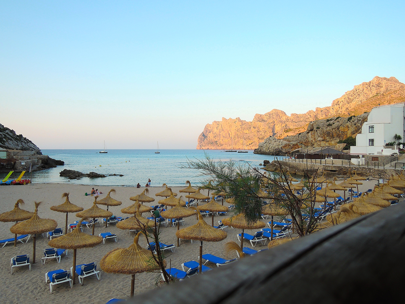
West
Soller
The island’s varied landscape includes pine forests, olive groves, steep gullies, intensively terraced slopes, and fertile valleys.
 Soller a natural harbour in the Western part of Mallorca
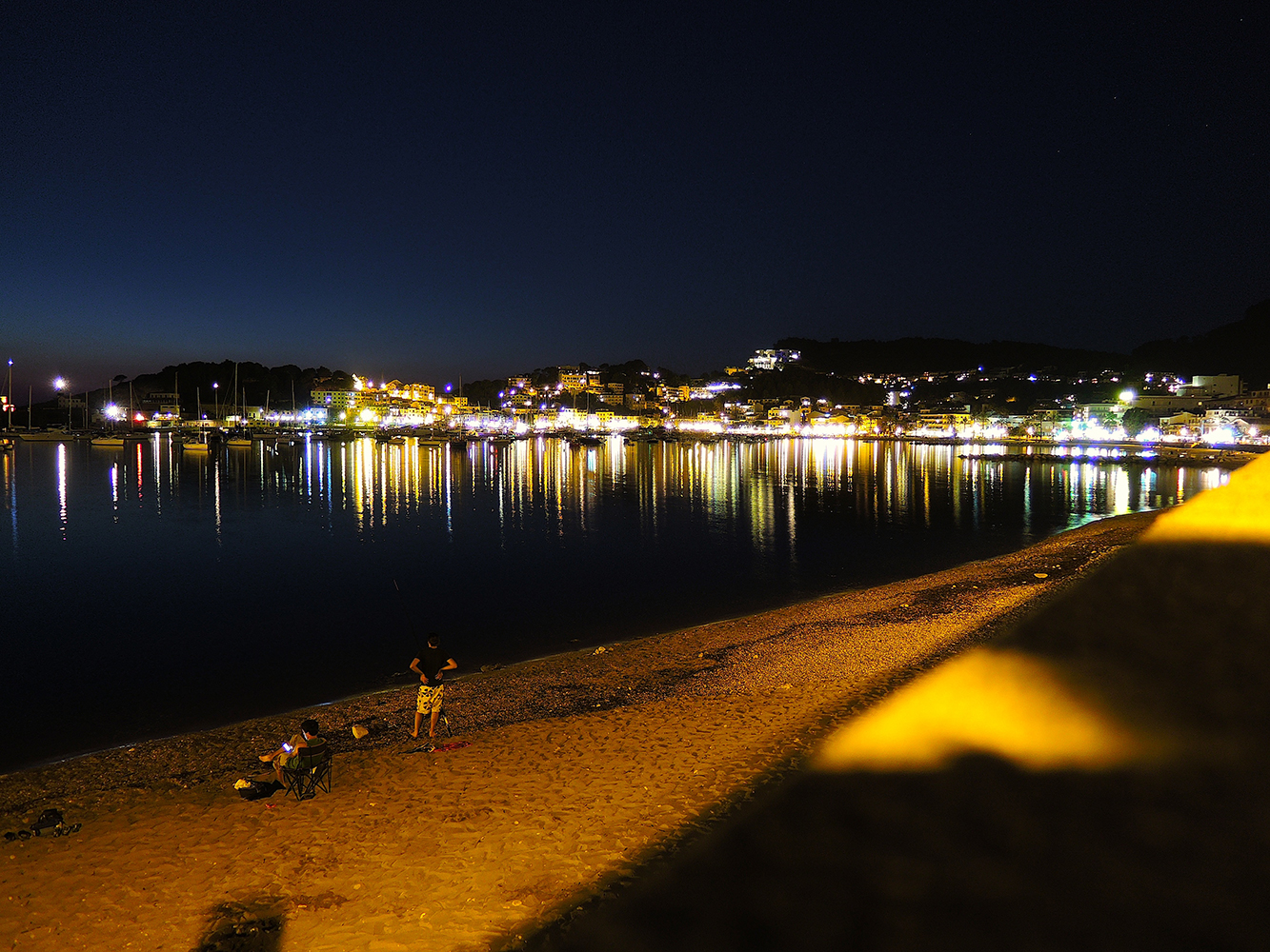 Soller by night
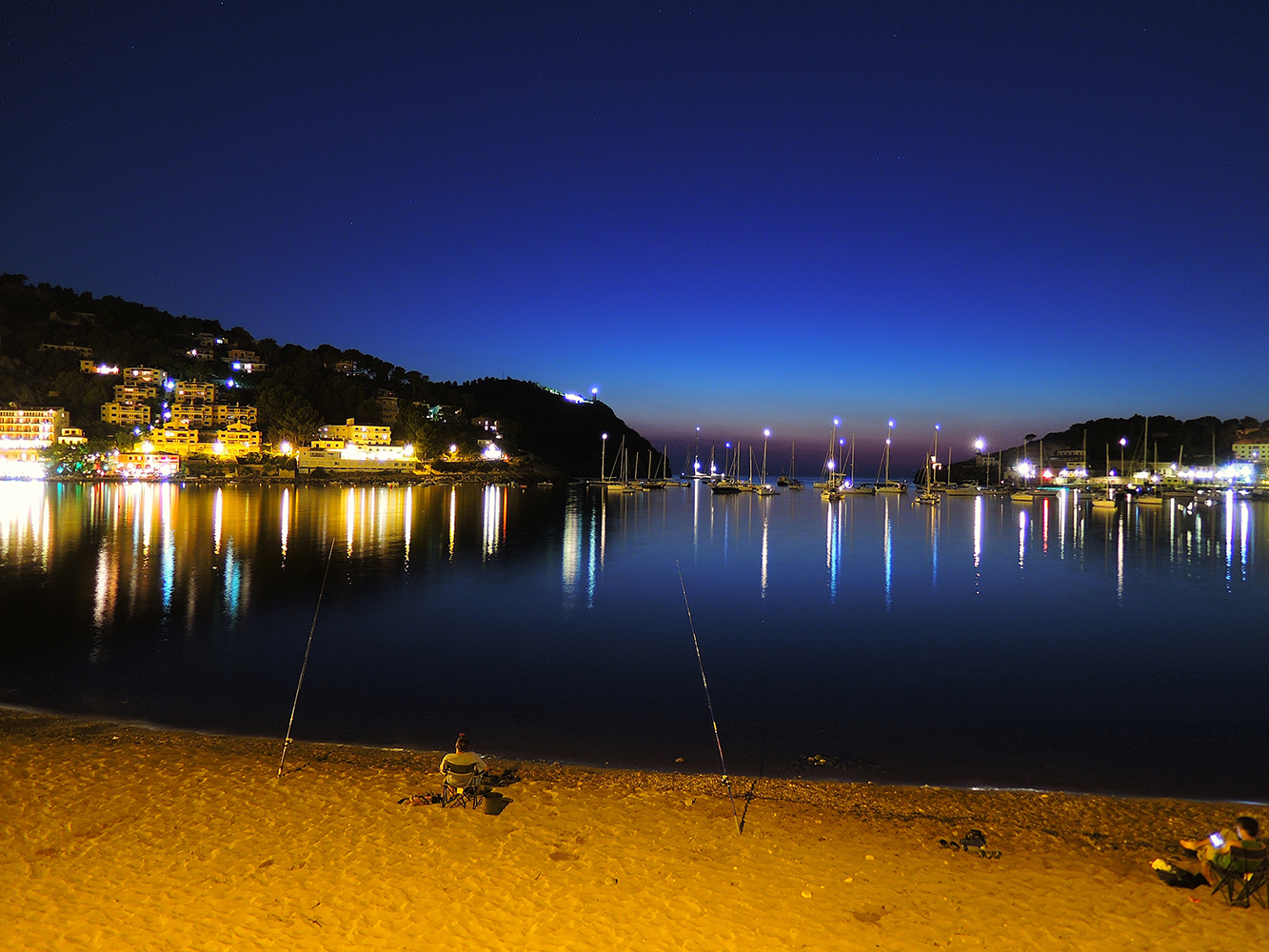
Southeast
The much less rugged hills in the southeast are known for their extensive limestone caves and subterranean lakes. The central lowland, benefiting from the shelter provided by mountains in the northwest, is a rich agricultural zone with a characteristic two-tier cultivation; olives, figs, apricots, oranges, and almond trees form the upper tier, and the lower tier consists of cereals, alfalfa, and legumes.
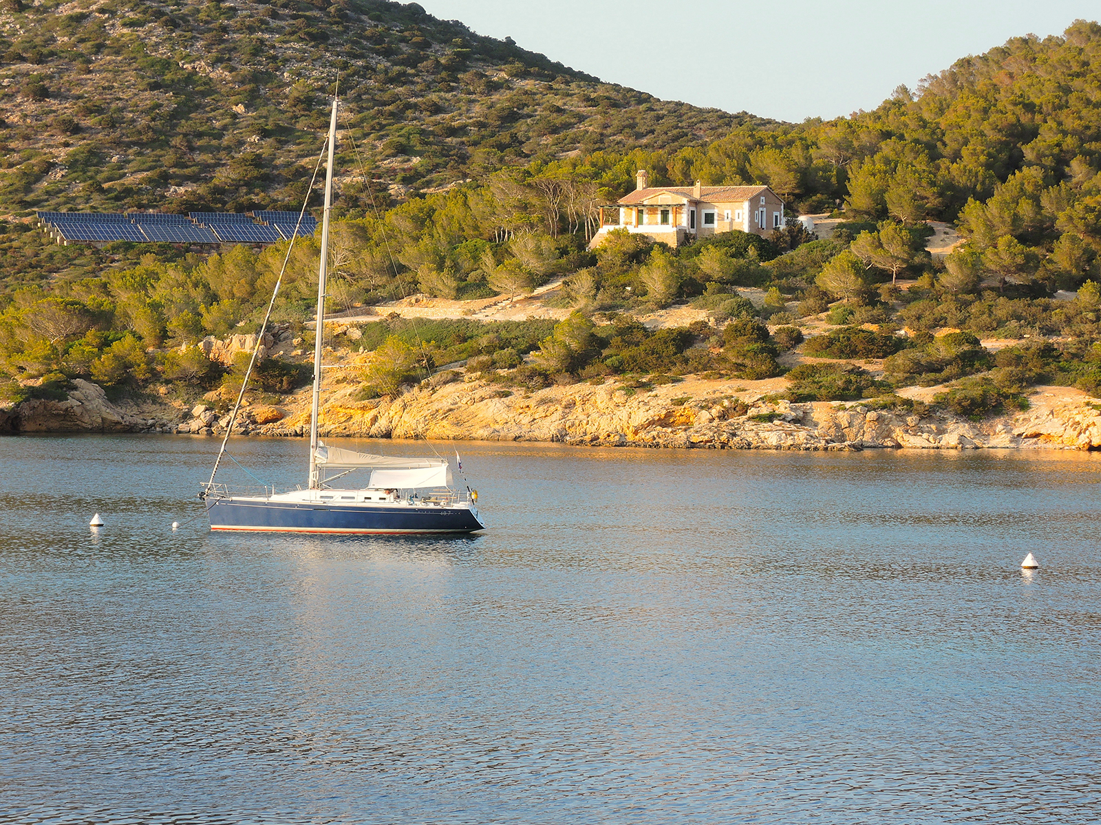
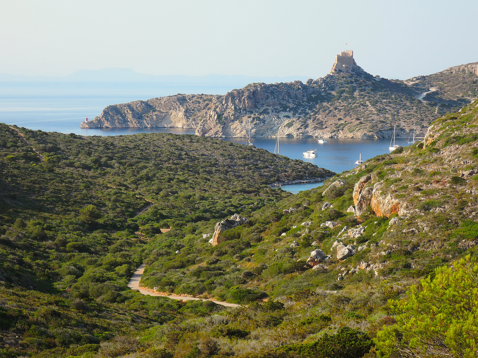
Cabrera
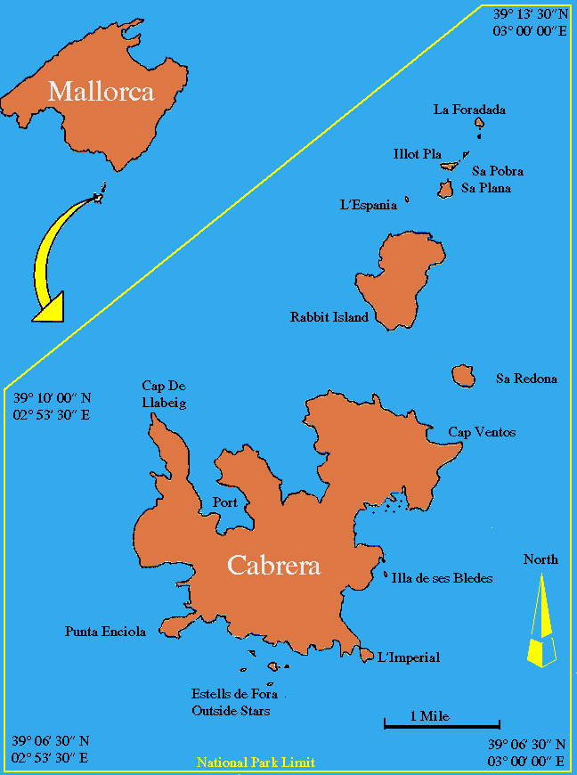
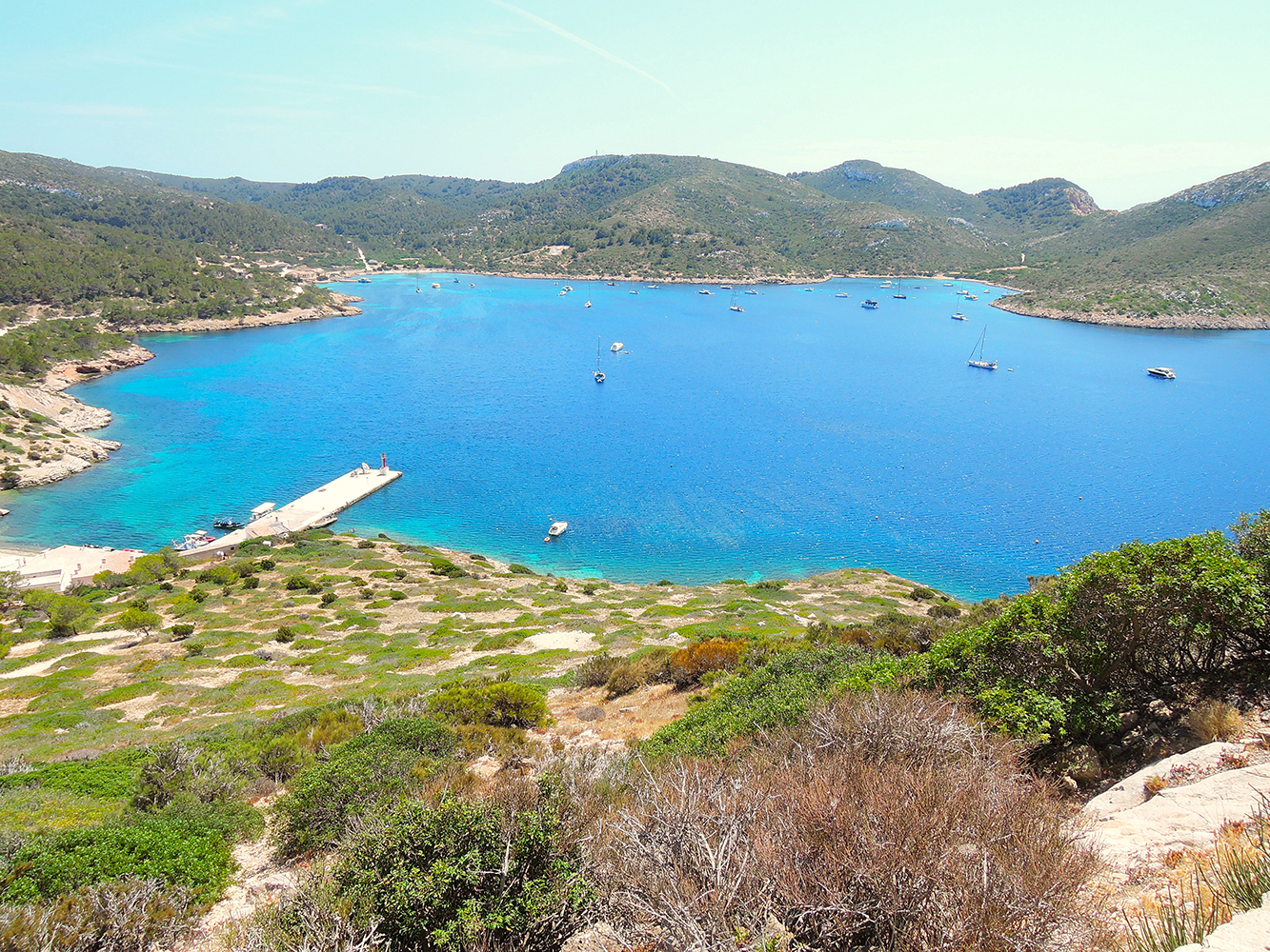 Cabrera Archipelago, South of Mallorca, the natural harbour with mooring boys
The Cabrera Archipelago Maritime-Terrestrial National Park is a national park that includes the whole of the Cabrera Archipelago in the Balearic Islands (Catalan: Illes Balears, Spanish: Islas Baleares), an autonomous community that is part of Spain. The park covers 100 square kilometers (38.7 square miles), though 87 square kilometers (33.6 square miles) is covered by water.
The highest point is Na Picamosques (172 m).
Cabrera is the largest island of the small archipelago that includes (from south to north) the islands of Estells de Fora, L’Imperial, Illa de ses Bledes, Na Redona, Conillera, L’Esponja, Na Plana, Illot Pla, Na Pobra, and Na Foradada.
As Cabrera is a Natural Reserve, you cannot just go there and throw your anchor
for reservations use these links below
Permit: permits-for-anchoring-diving-and-sailing
or to rteserve a mooring boy in the harbour of Cabrera
The park attracts relatively few visitors due to its remoteness. There is no permanent population, but there might be at any given time just under 100 National Park staff members and other personnel on the islands.
The archipelago has great natural value. Due to its isolation throughout history, it has remained relatively unchanged. The coastal landscape of Cabrera is often considered one of the best preserved on the Spanish coast, and indeed in all of the Mediterranean, as a result. The islands are blanketed by important colonies of seabirds and other endemic species. Due to its biotic wealth and abundance and variety of birds, the park has also been declared a Special Protection Area (SPA) for birds. It is also a Site of Community Importance (SIC), and as such is integrated into the Natura 2000 network.
The park is likewise among the ranks of the Specially Protected Areas of Mediterranean Importance (SPAMI) under the protocols for protected marine areas established by the Barcelona Convention.
Ibiza
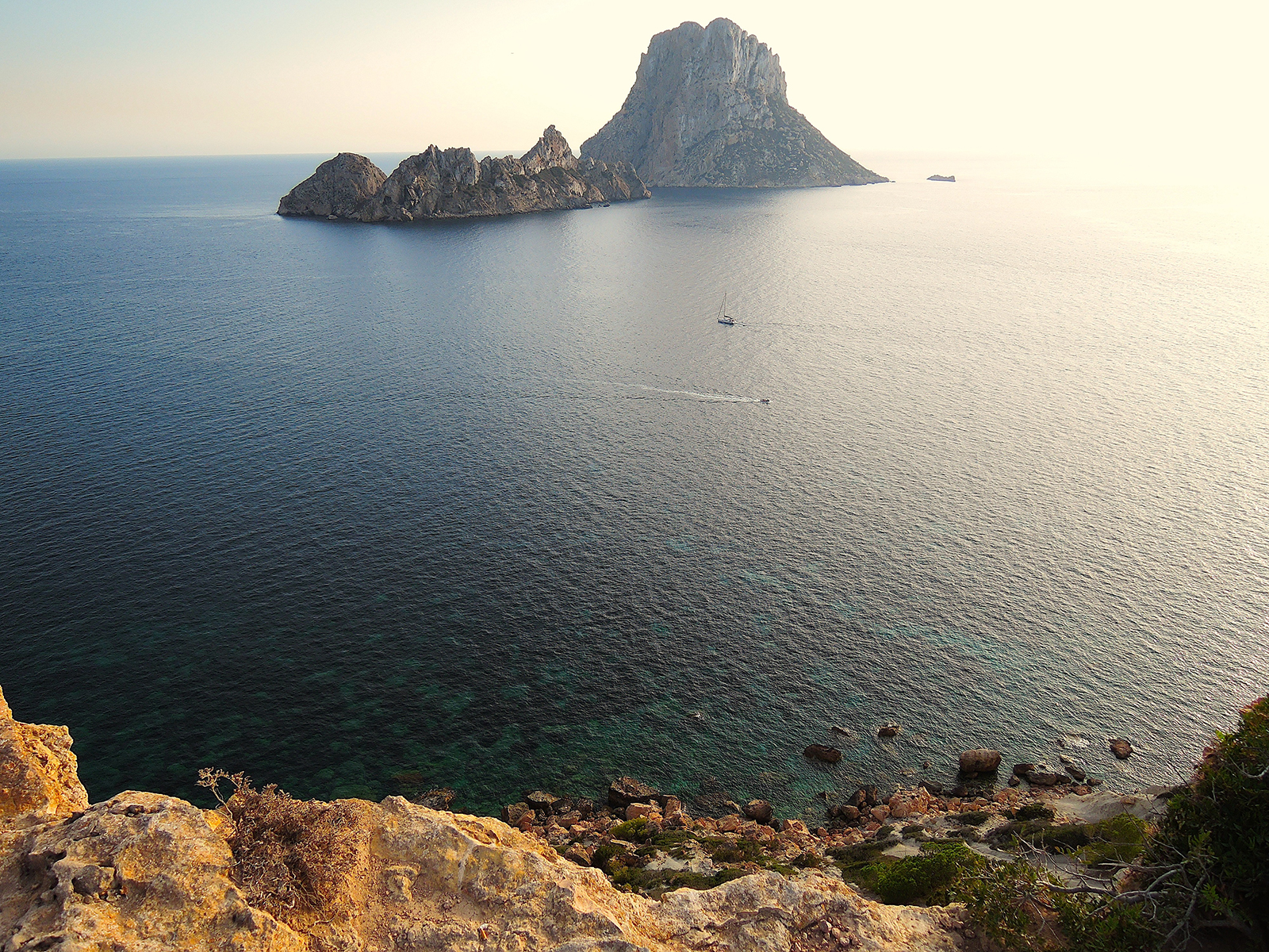 Es Vedra and Es Vedranell, seen from Ibiza
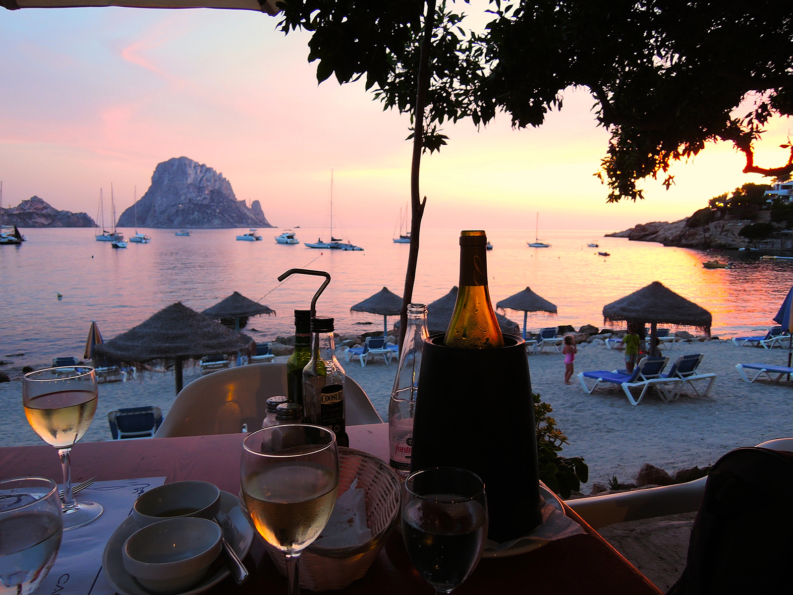 Cala d’Hort with Es Vedra on the background
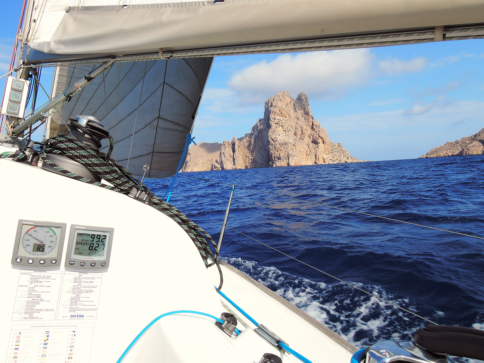 from Formentera to Sant Antoni de Portmany, rounding Es Vedra
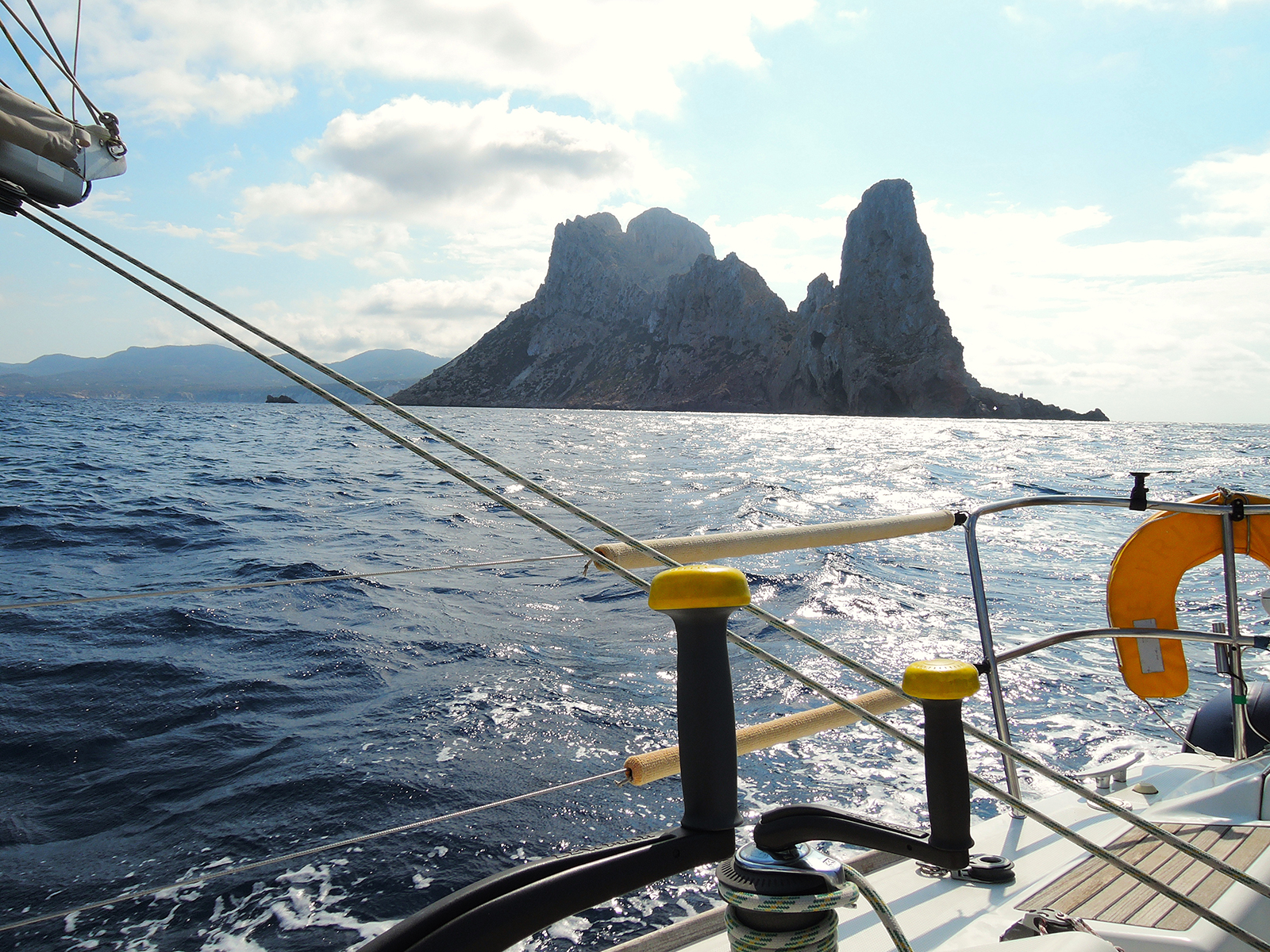 Es Vedra seen from the Northwest
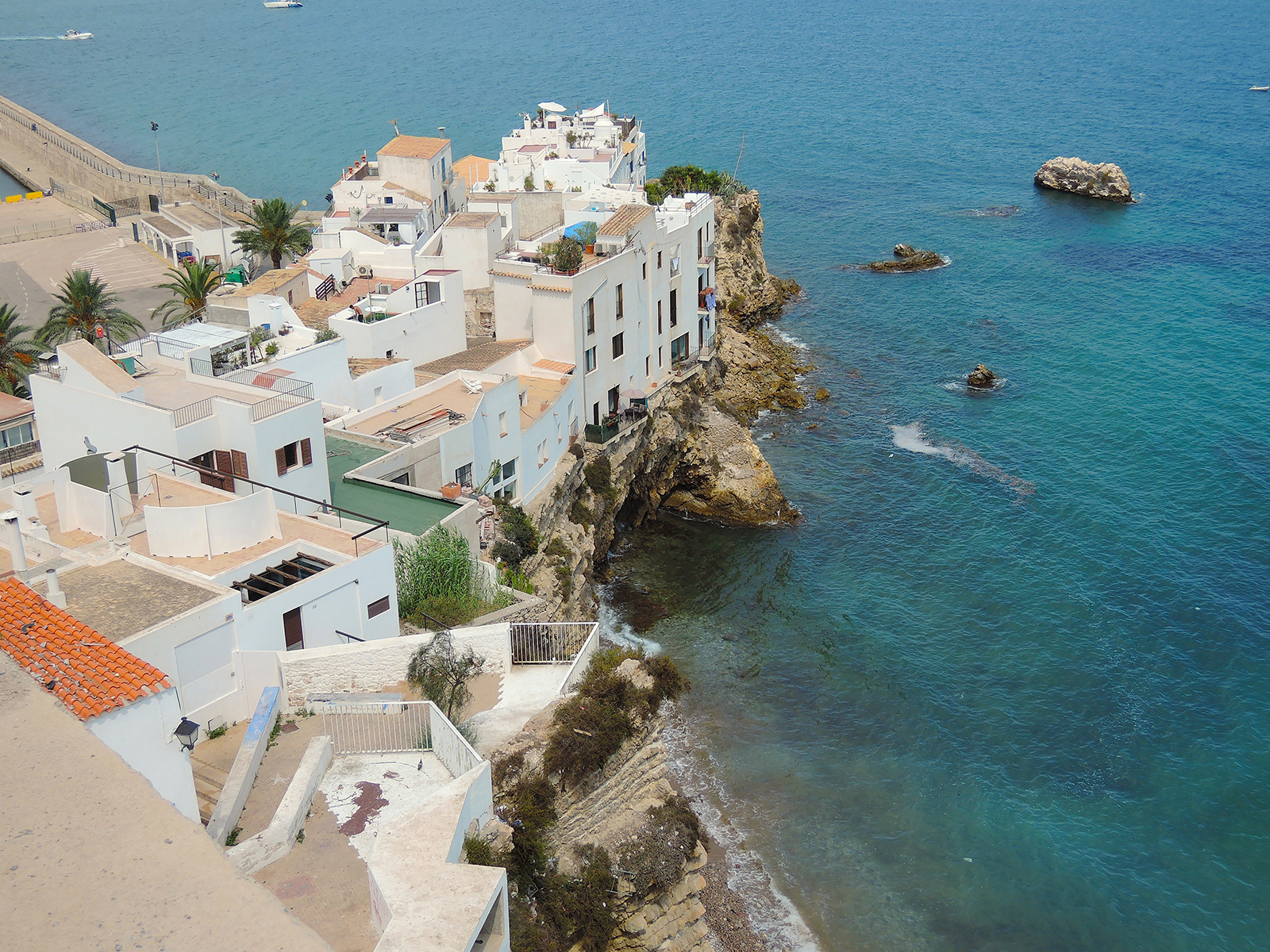
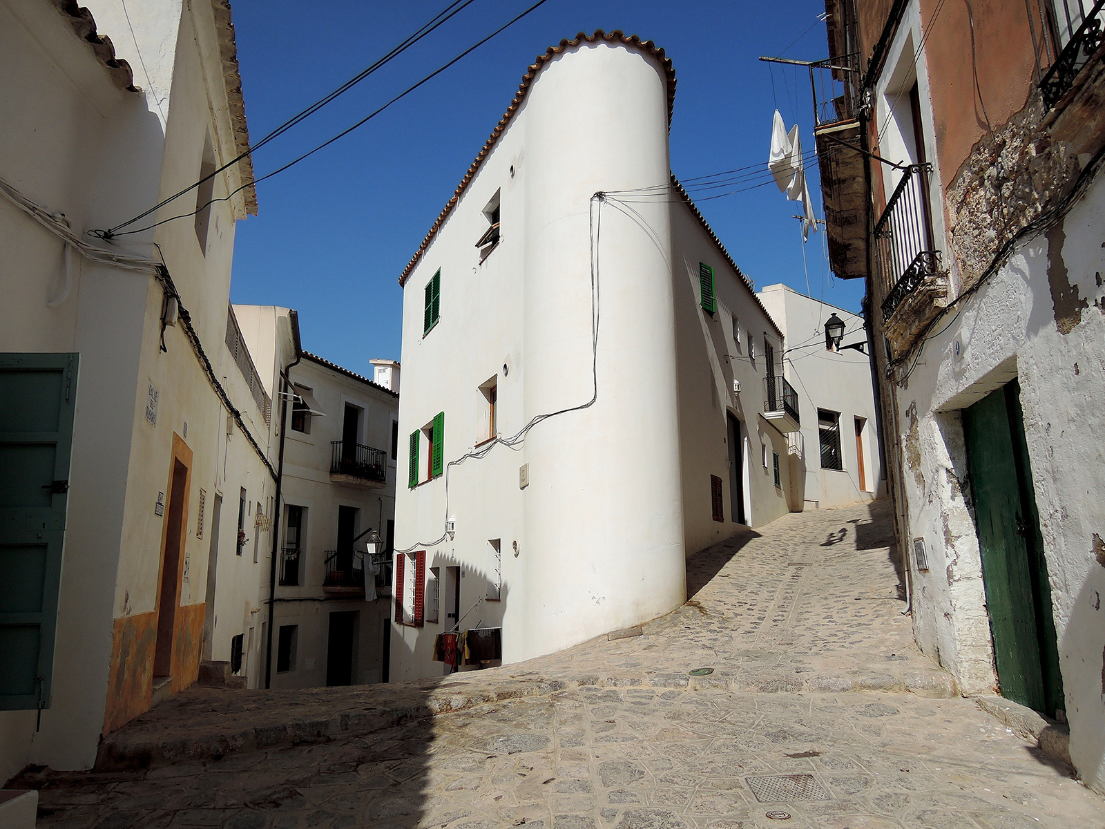
Ibiza is the third largest of the Balearic Islands. It lies in the western Mediterranean 50 miles (80 km) southwest of Majorca. The island was a strategic point of great importance in ancient times and was inhabited by the Phoenicians and Carthaginians.
 It has some notable archaeological sites, relics from which are housed in the Archaeological Museum at Ibiza city, also called La Vila. but also lots of modern archological sites like above, nightclubs are all over the island.
 An afternoon in Ibiza town
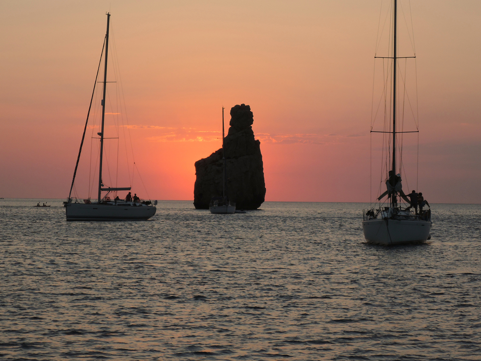 Cala Binniras, sunset is always accompagnied by drums…
The island’s hilly relief, culminating in La Atalaya (1,558 feet [475 metres]), is truncated in the central northern coast to form a costa brava (rugged coast) with cliffs exceeding 800 feet (240 metres) and penetrated by calas (small coves). There are several irrigated lowlands, and the hillsides are intensively terraced.
 Cala Grassioneta, near Sant Antoni de Portmany, Ibiza
Agriculture is mainly of a subsistence nature, but almonds, dried figs, and apricots are exported. Salt produced by the evaporation of seawater has been the main export for centuries. Fish and charcoal surplus to local needs are also sent to the mainland.
Many of the inhabitants live on farms and small villages scattered throughout the island. 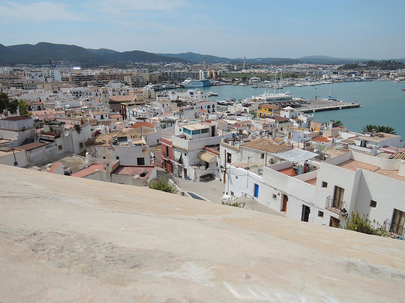 Ibiza Town
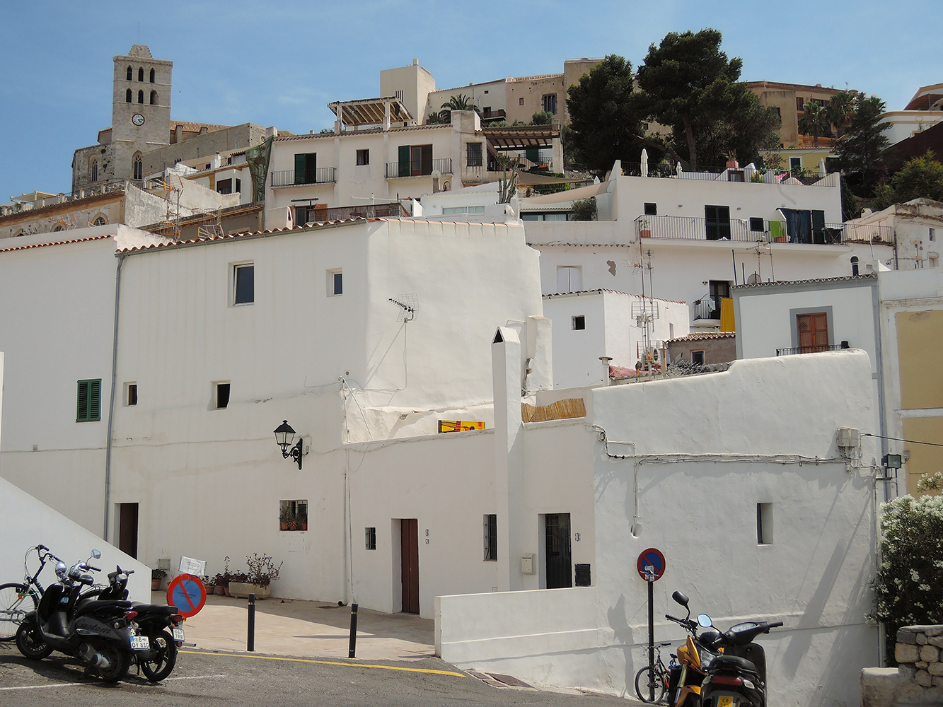
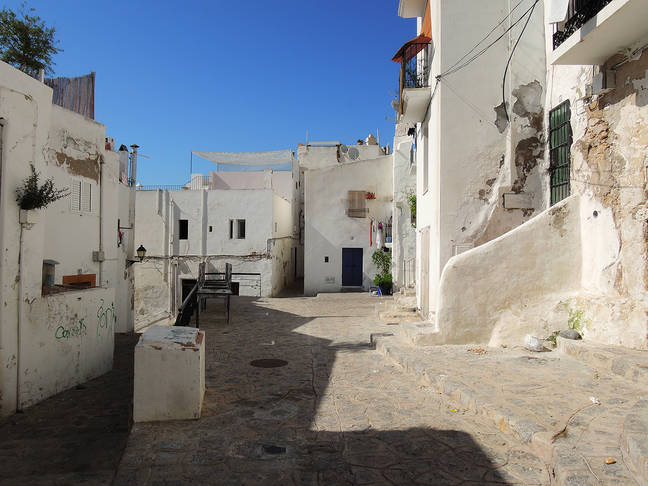
 Ibiza Town, the old Town
 Since the late 20th century the population of Ibiza has grown considerably, owing to immigration and the tourism that flourishes as a result of the island’s mild winter climate and its beaches.
 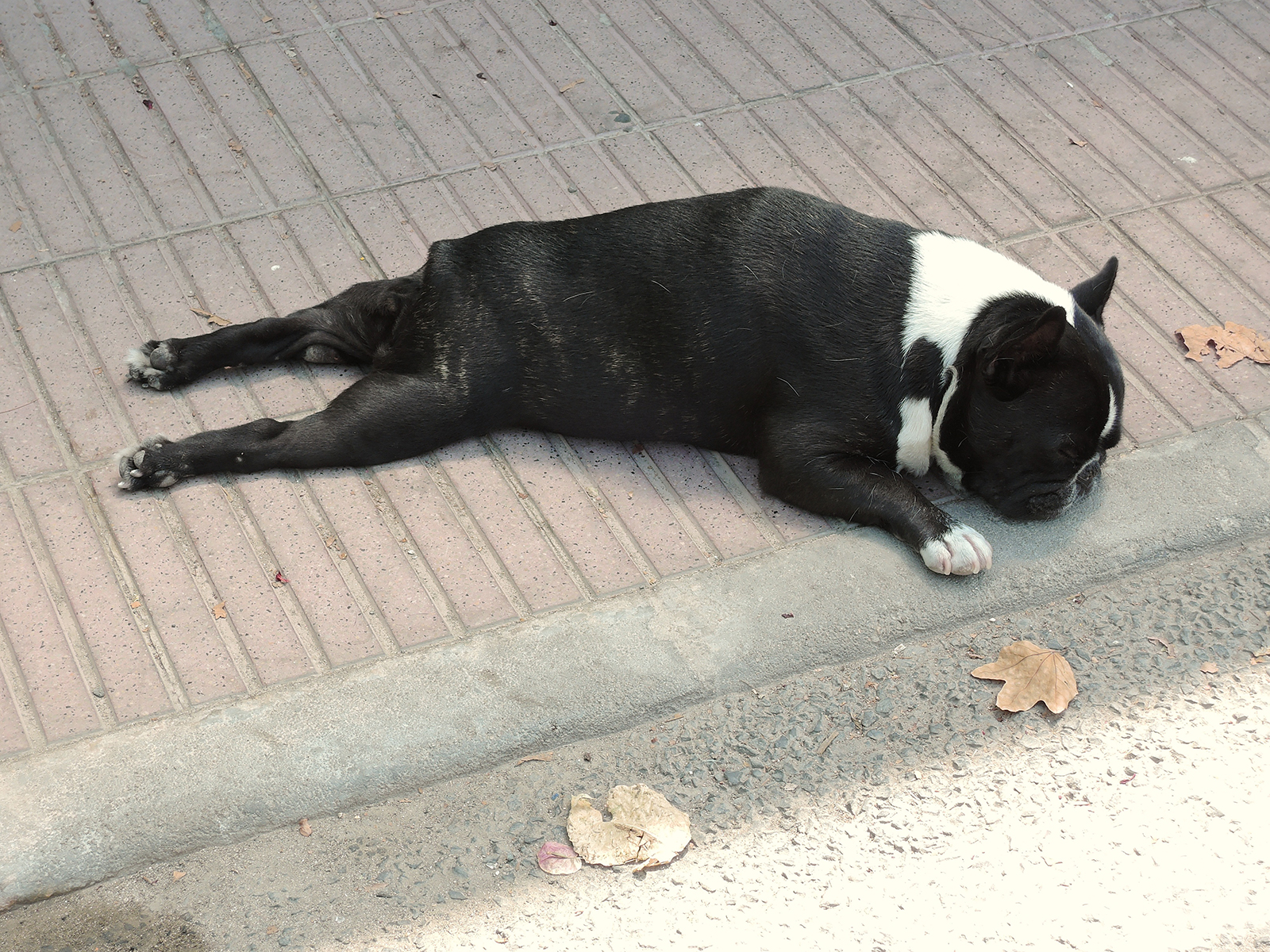 (some pets think differently about the mild climate…)
 Luckely the locals have found a good way of dealing with that!
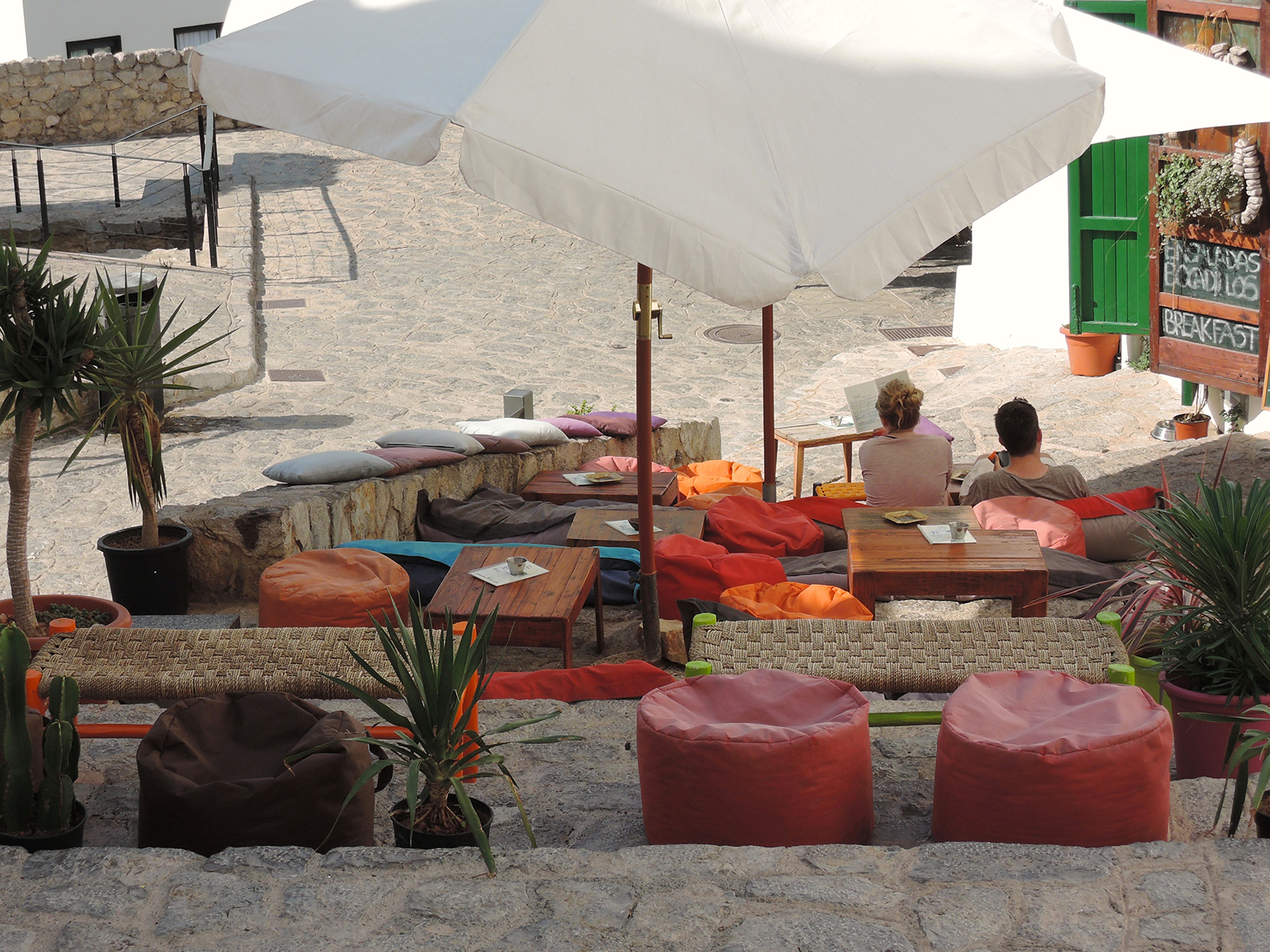 Ibiza lounging!!
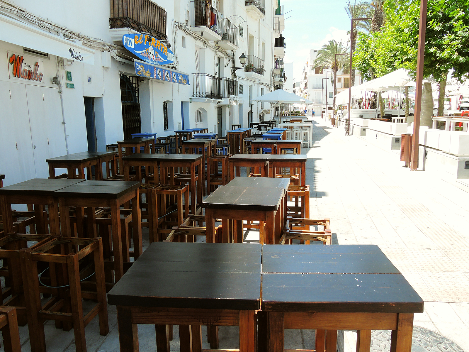 The morning after fife is less vivid in the old town…
Ibiza city, San Antonio, and Santa Eularia del Río are the most populated places. 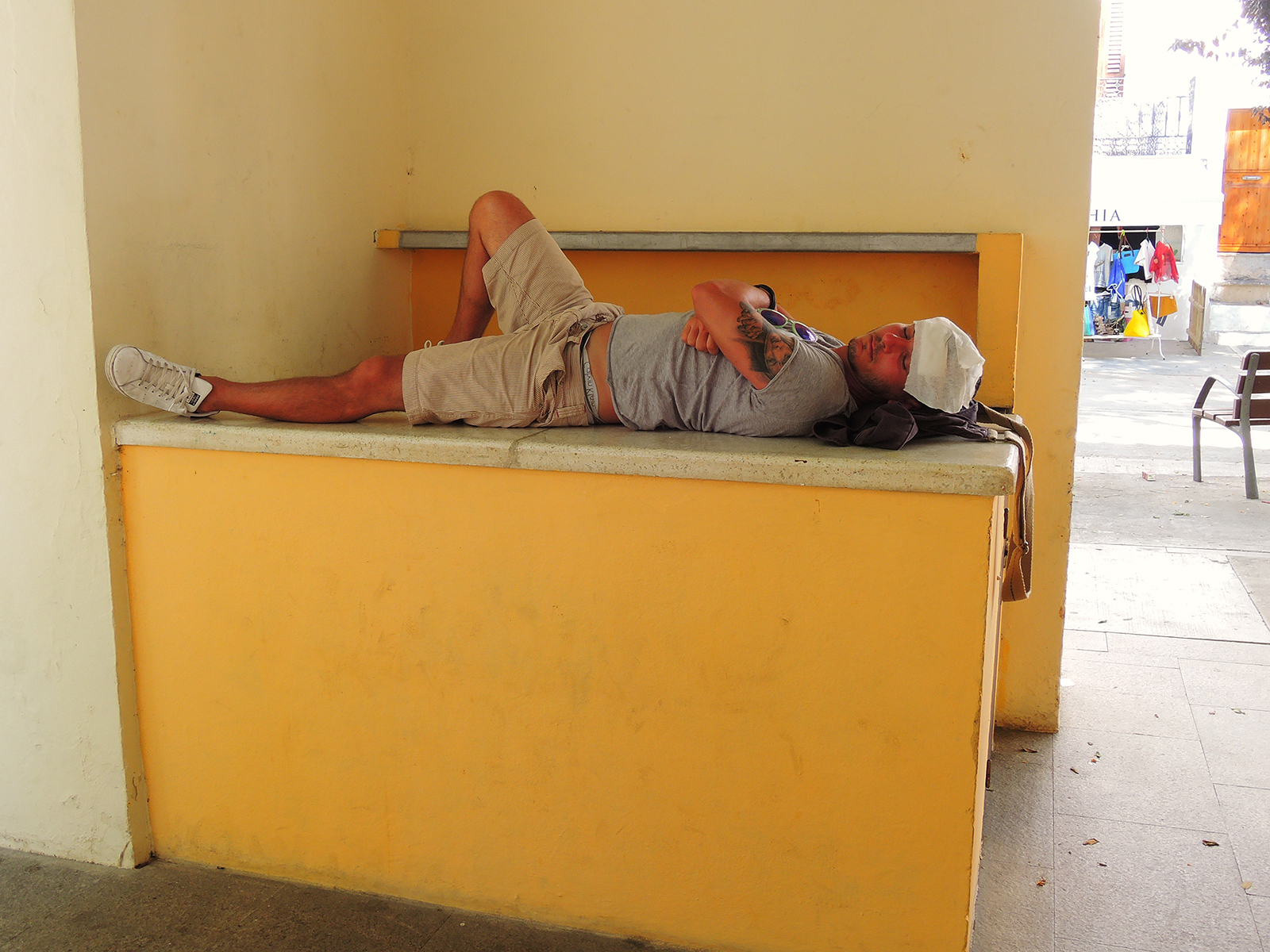 some locals found their way of dealing with the heat and the alcohol consumption of the previous day..
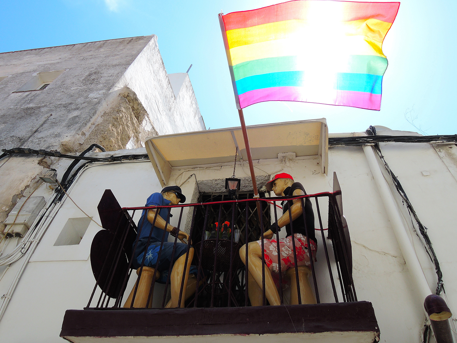 some are there tyo stay!
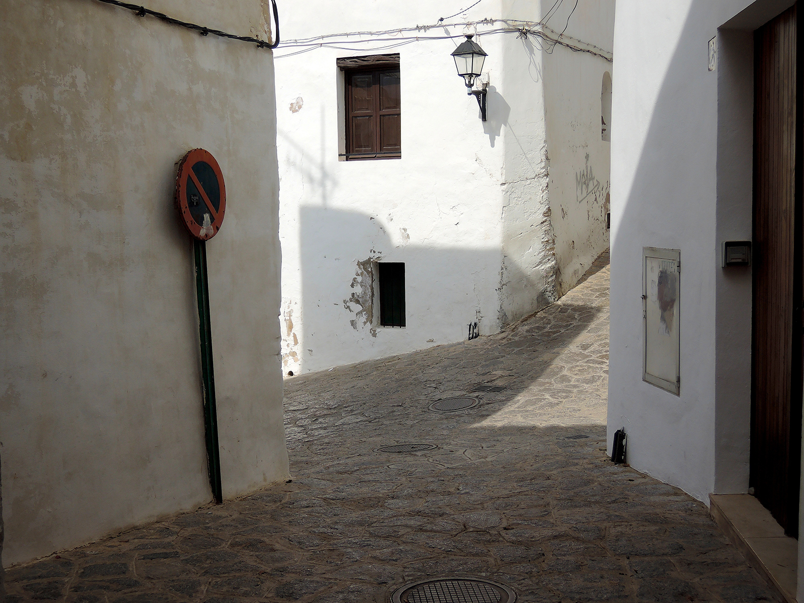
The island was designated a UNESCO World Heritage site in 1999 for its unique and diverse ecosystems.
Formentera
 Fromentera is the Island where most hippies are still around
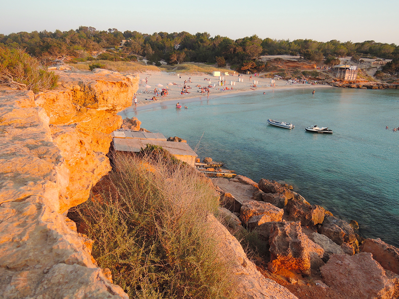 Cala Saona on the West side of the island at sunset
 Cala Saona on the West side of Formentera
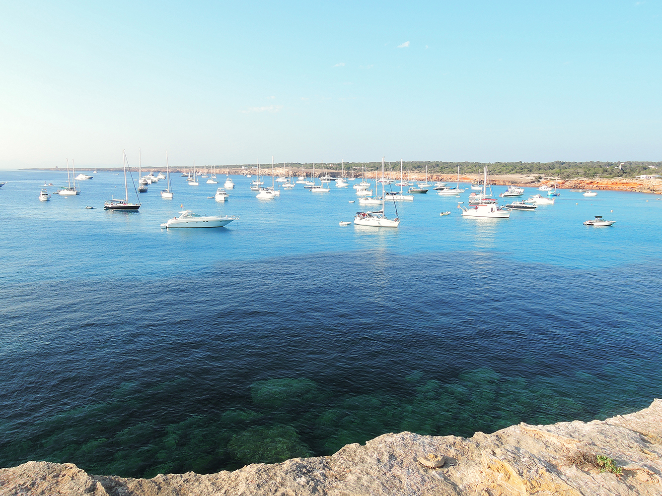 Cala Saona can be busy with boats in summer
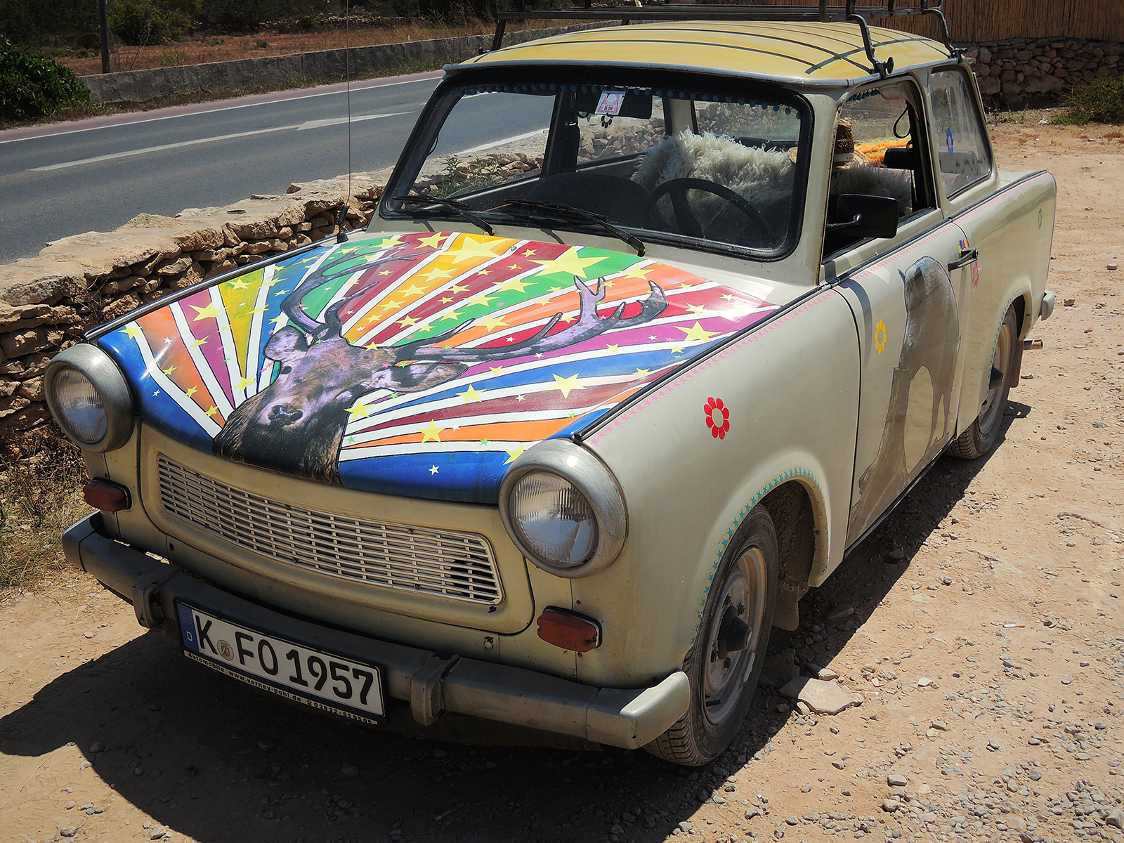
 The most famous bar in Formentera
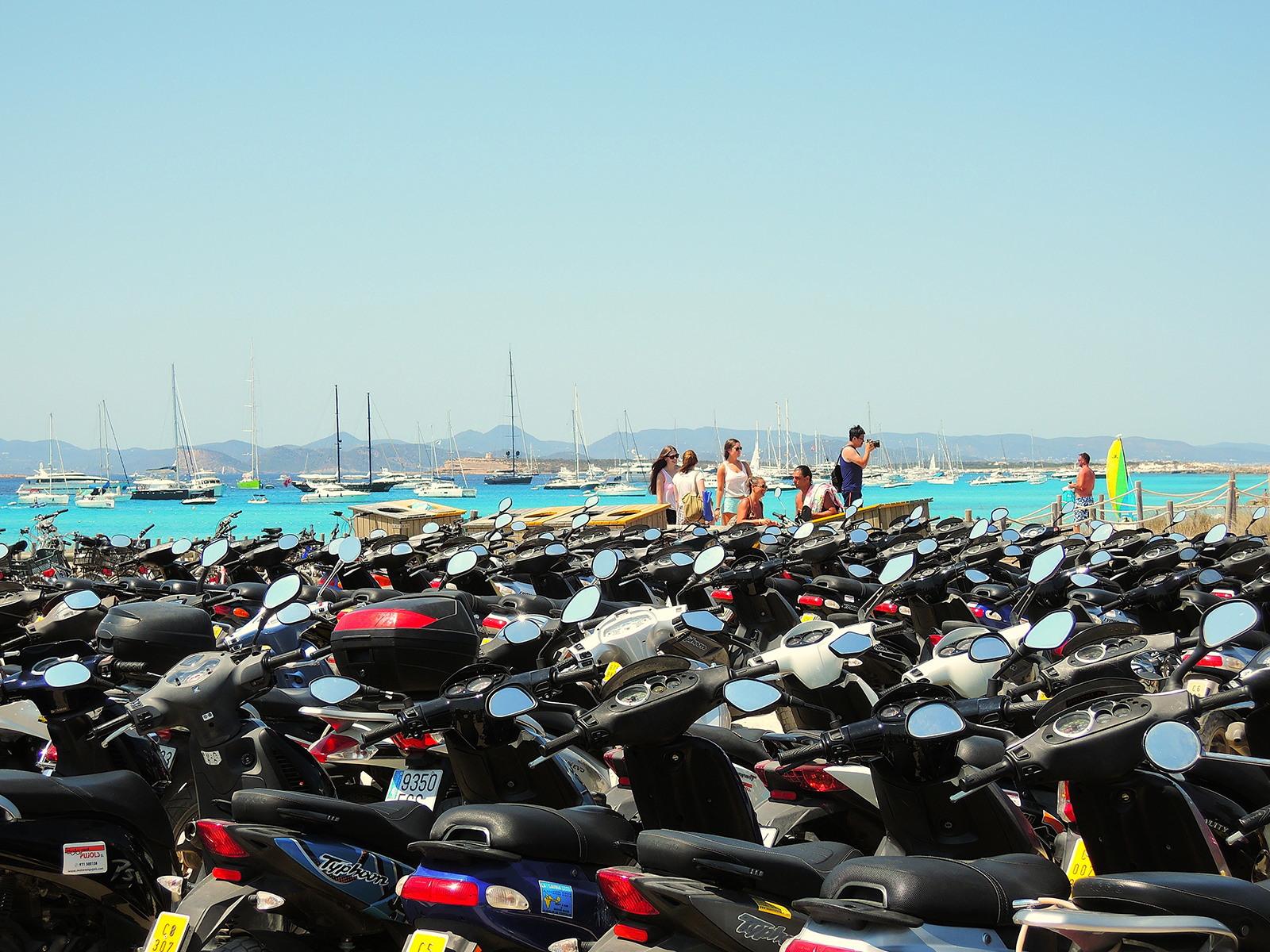 Espalmador, not only a great anchoring spot, but during daytime very frequently visited by tourists on scooters..
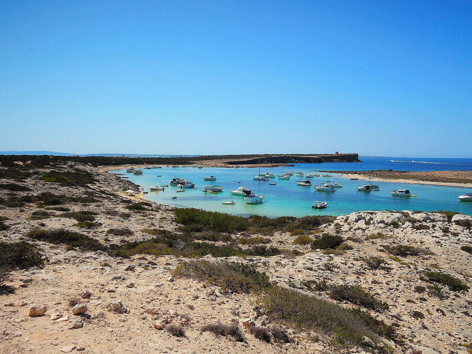 Espalmador, Formentera, the North side of the island, looking Southwest
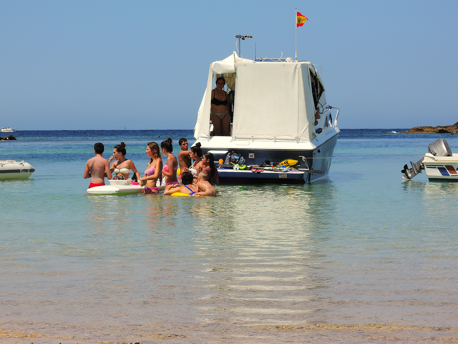 Lunchtime on Espalmador, surfboards are great dining tables!
 Formentera seen from the hills near Es Calo
 Es Calo anchoring
 Es Calo
 Es Calo, Formentera
Marine Reserves
The Balearic Sea has a good representation of the habitats existing along the Mediterranean, as well as a high biodiversity. There are valuable Posidonia oceanica seagrass meadows, accounting for more than 46,000 hectares, and the ones between Ibiza and Formentera were declared a UNESCO World Heritage Site in 1999.
Pollution, sedimentation and poor water quality have not notably altered the habitats. Commercial fishing causes the primary impacts to the ecosystem, but the status of commercial fish stocks is considered to be better than those from most of the Mediterranean.
With seven declared marine reserves, the Balearic Islands are Spain’s autonomous region with the most marine protected areas, reaching 49,000 hectares in total (18% of inland waters). However, even more protection would help sustain local fish populations into the future. (Image courtesy Asociación Ondine).
The south of the Balearic Islands is an important area for sea turtles (mainly the loggerhead Caretta caretta, which is threatened by longlines), cetaceans, and a spawning area for endangered bluefin tuna (Thunnus thynnus). Some areas have also been identified as hot spots for other endangered species such as the white skate (Rostroraja alba). The Balearic Basin reaches depths below 2,000 meters, where researchers have documented a variety of deep sea fish species including the Mediterranean spiderfish (Bathypterois mediterraneus). The Balearic Islands also represent the only nesting area to the Balearic shearwater (Puffinus mauretanicus), one of the most threatened marine birds in the world.
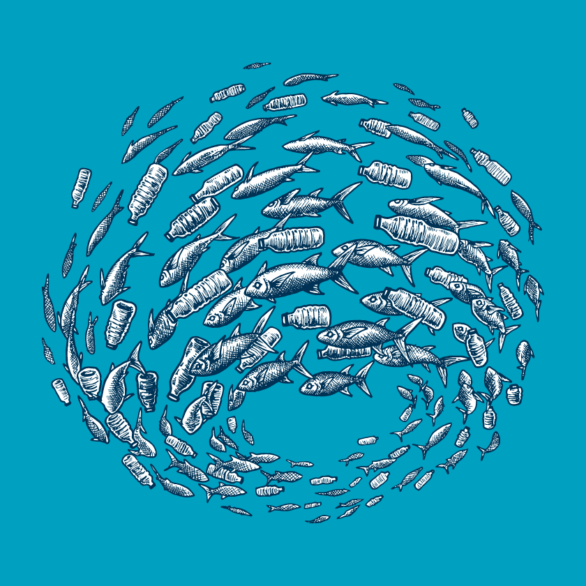
More plastic than fish in the sea by 2050?! We’ll take the fish. Buy a limited edition 100% cotton t-shirt with this design by Melanie Steinway and help us say NO to single-use plastics! Visit https://www.booster.com/missionblue
Pingback: Hello sailors - sailmediterranee.comsailmediterranee.com
Pingback: Balearic Islands, Mediterranean Spain - sailmediterranee.comsailmediterranee.com